Hiking NL diary
On this page we maintain a brief description
and our impression of hiking trips in the
|
|
|||||
|
By the way, more great ideas; Wandelzoekpagina.nl - Wandelroutes ('de Tweevoeter') - De Hikingsite.nl - Wandelgids Zuid Limburg - Weekendhike - Utrecht te voet - ANWB Toeractief - Wandelnet - Route.nl - Klompenpaden |
||||||
 |
 |
 |
 |
 |
||
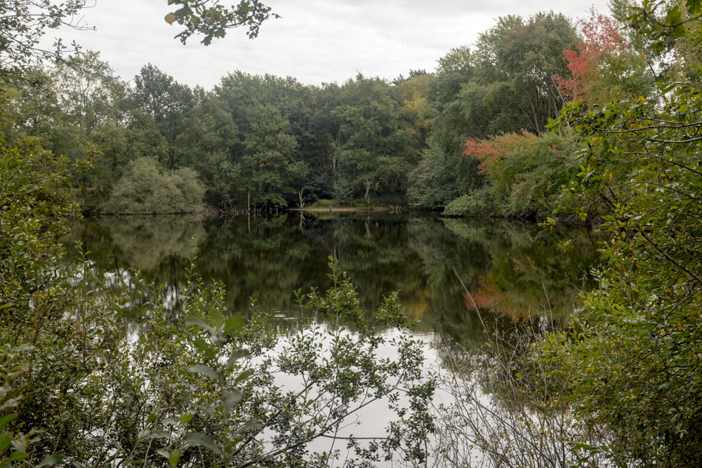
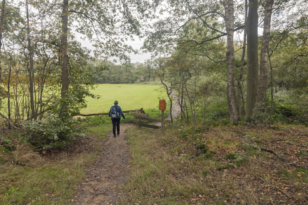
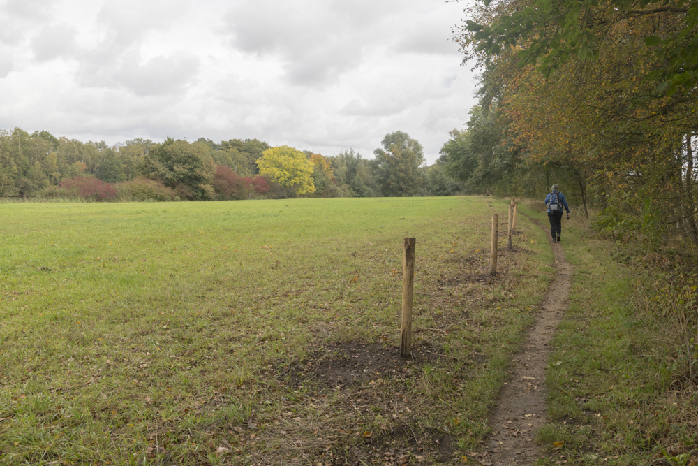
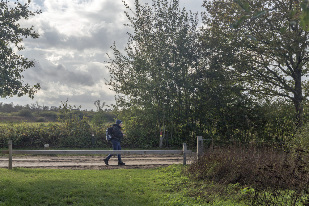
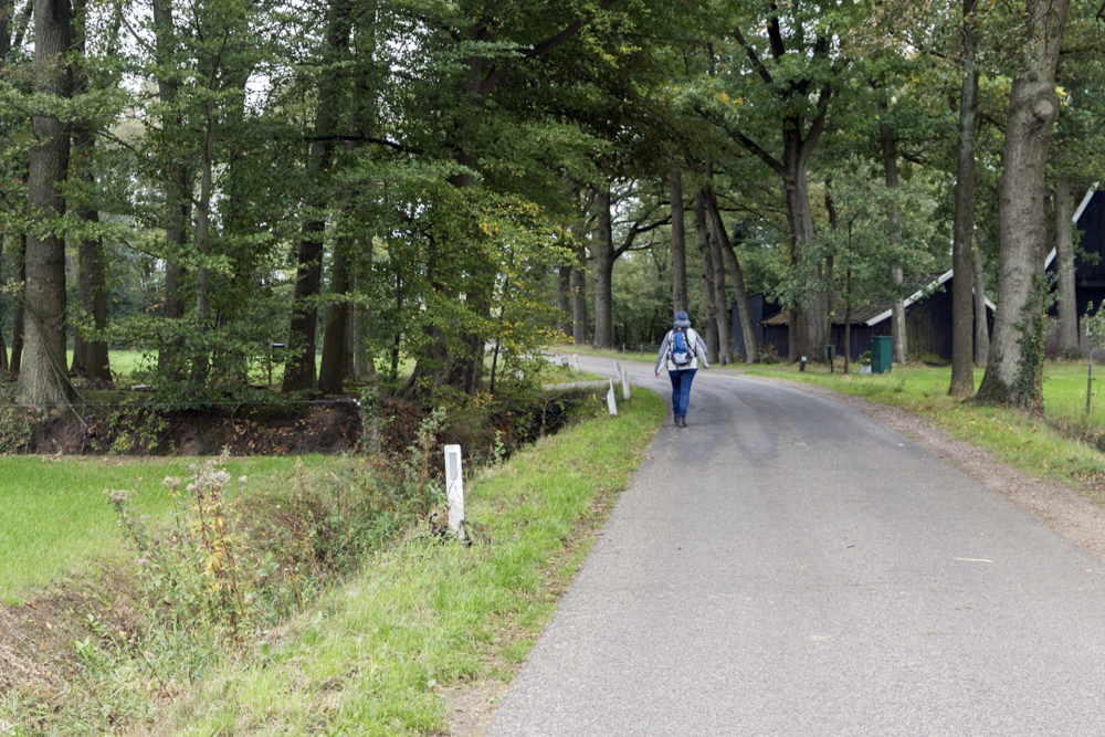
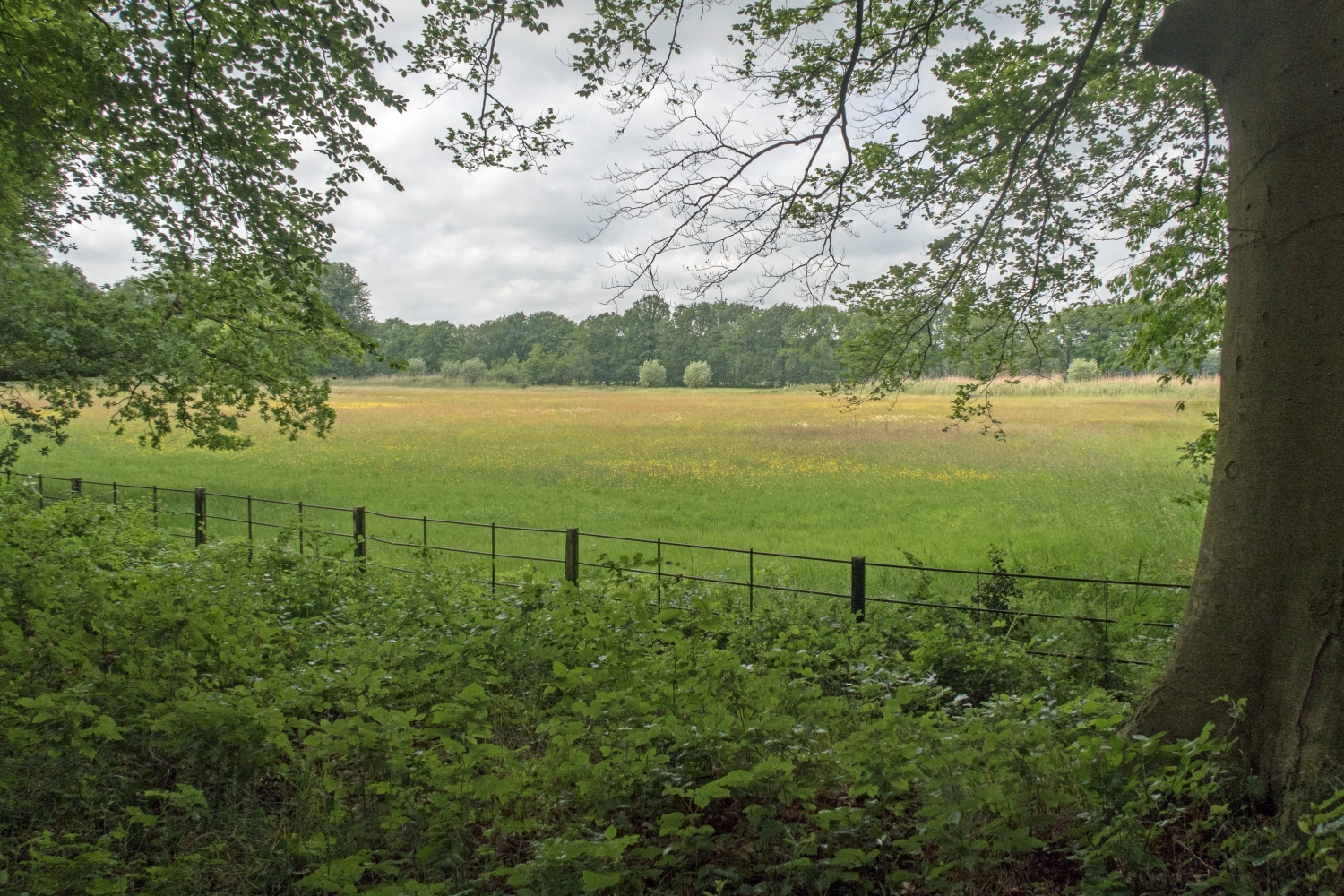
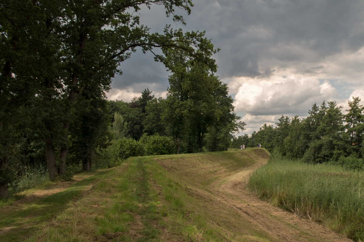
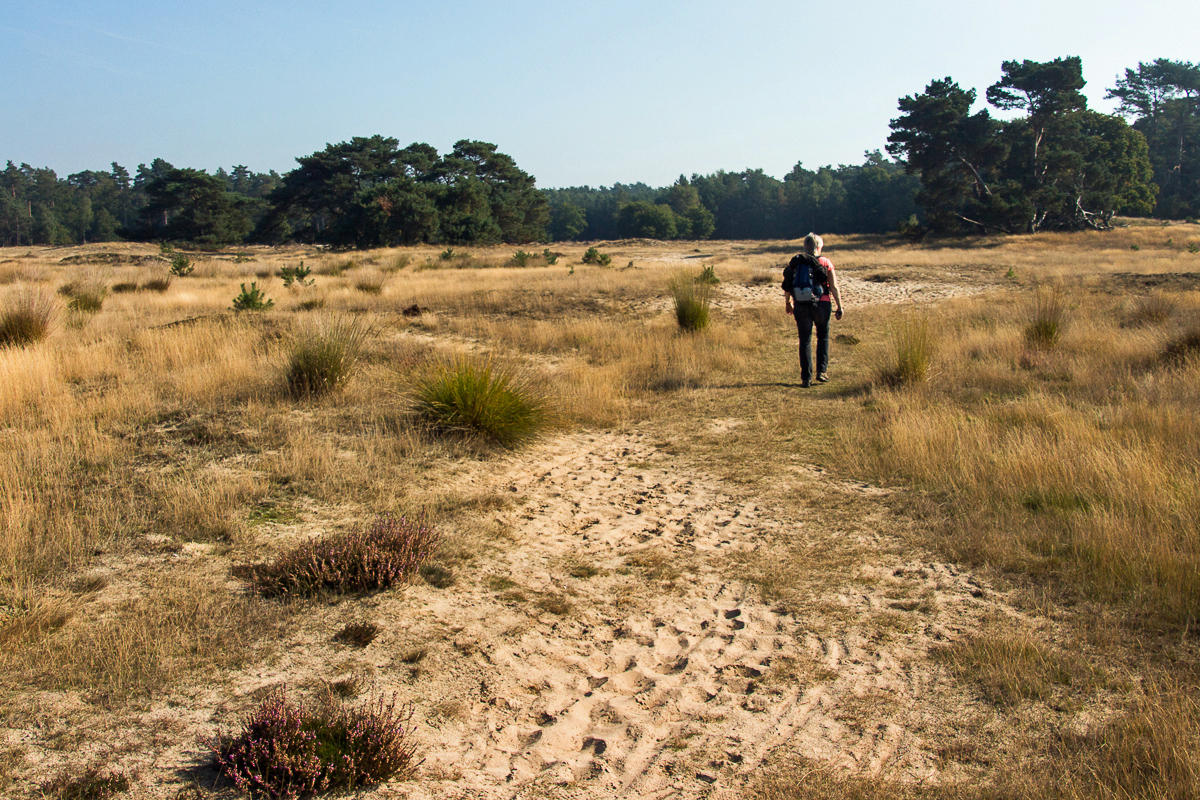
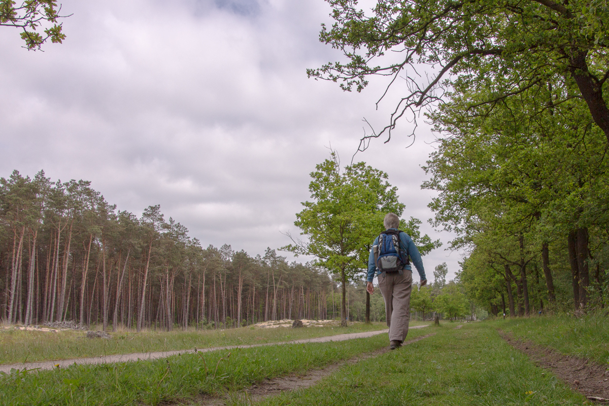
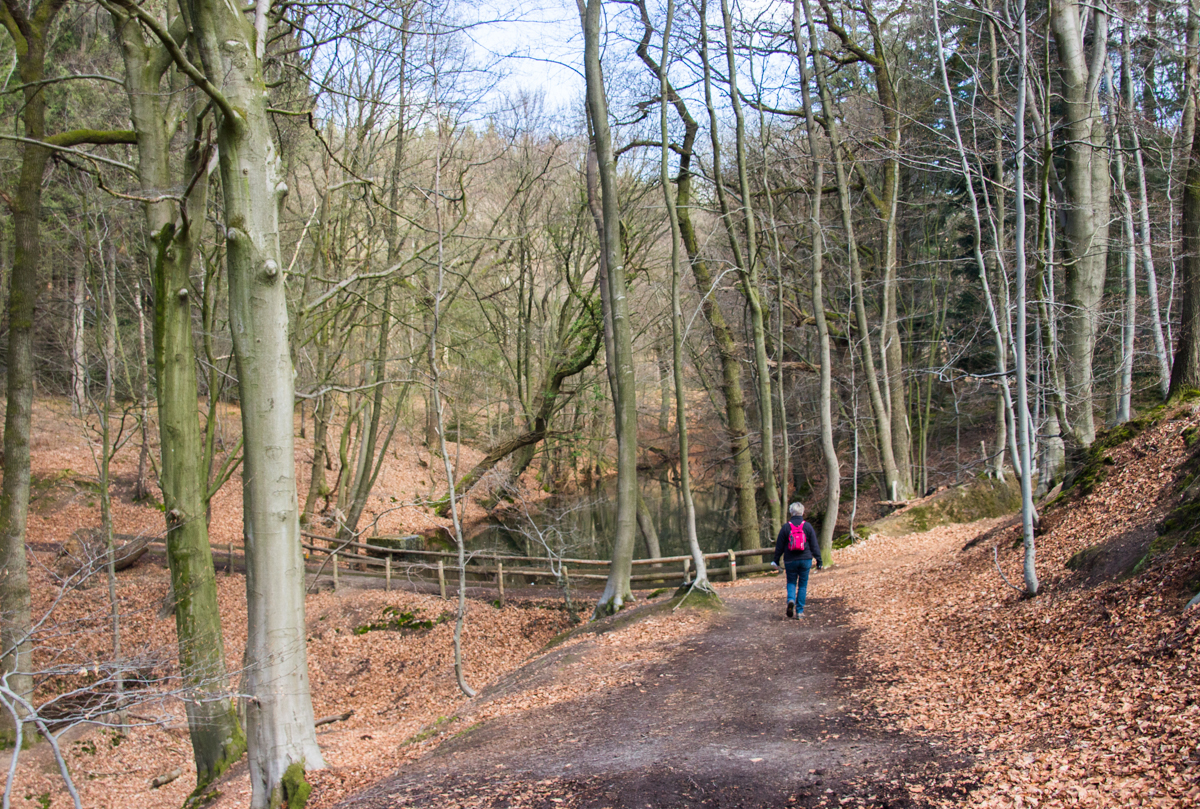
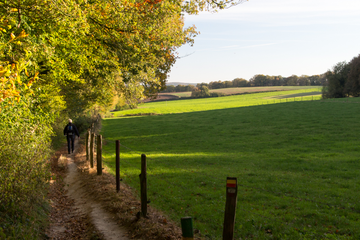
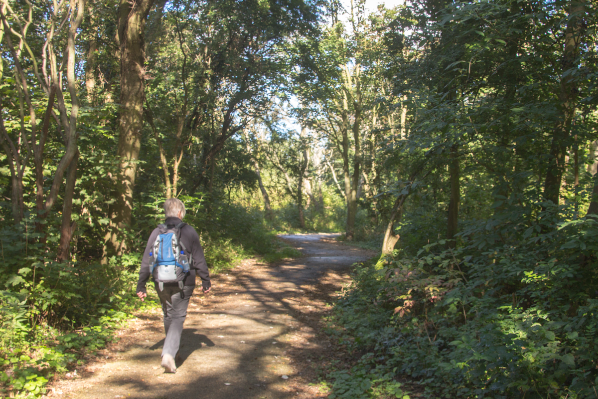
| Wednesday 18 October 2023, autumn
afternoon stroll Leemkuil route (9km, province of Utrecht), more
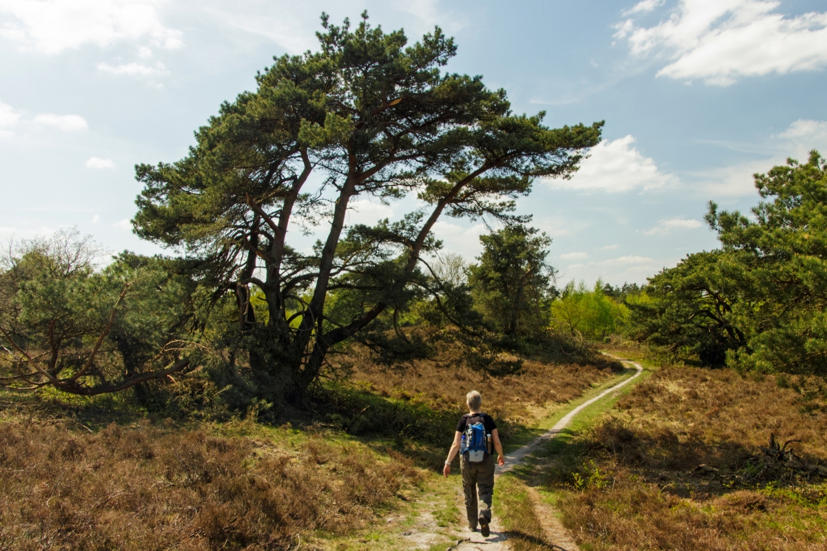
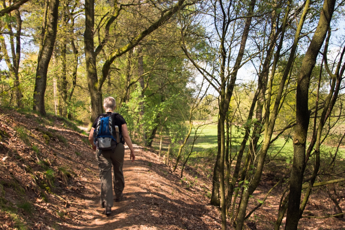
or less the 'yellow route'. Nice route in the beautiful 'Utrechtse Heuvelrug'. There are various parking opportunities (and public transport stops) and thus a variety of starting points available as well as many other hiking routes in the area. We started our hike at the 'Tabaksschuur' visitor centre of Utrechts Landschap. It's worth a visit but note the limited opening times. In the old days the area was famous as the place to be in The Netherlands for tobacco plantations so there is a museum on that topic nearby. The forest and hills-route is relatively easy going, can obviously be muddy in some places. The area is well known for many different mushrooms as well, so autumn is especially interesting. Route indications (yellow) are fine, if you want our GPS track anyway it's available HERE. |
 |
|||||
 |
 |
 |
 |
 |
||
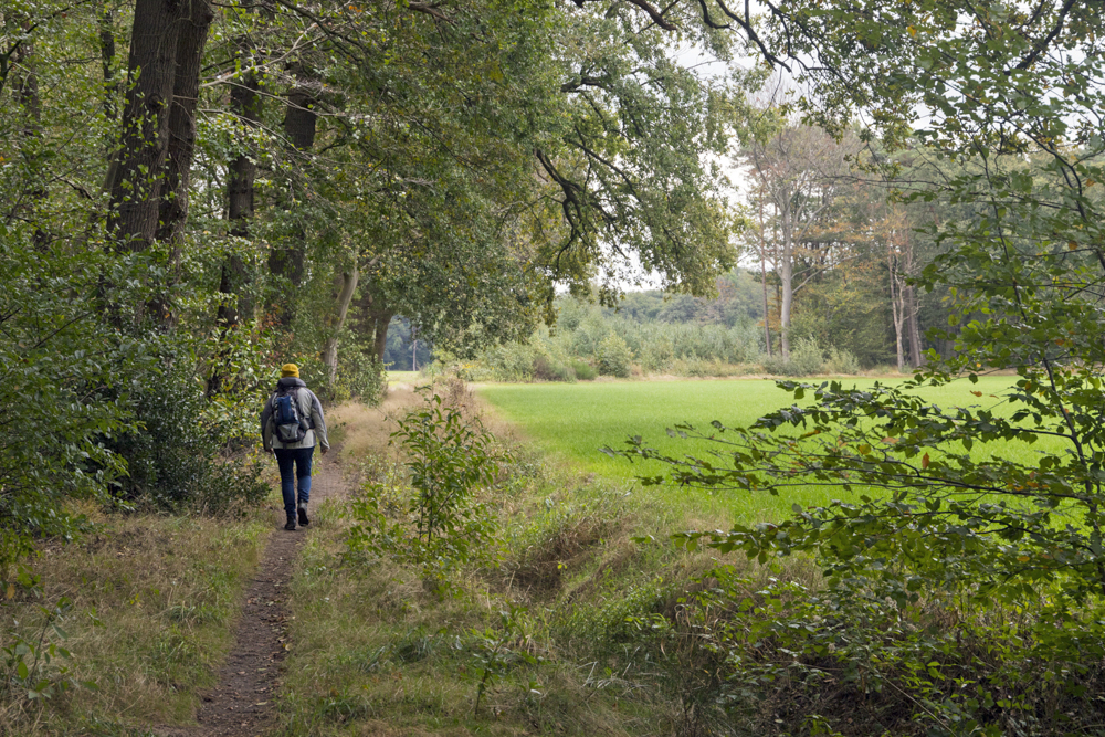
| Monday,, 25th September 2023, random
hike SW, N Schiermonnikoog (incl. Noorderstrand, 10.5
km, province Friesland) A boat-ride over the Lauwersmeer, through the locks subsequently the Waddenzee takes us from Esonstad (Anjum) to the island Schiermonnikoog. Again, plenty of hiking opportunities, an abundance of special flora and fauna and birds in particular. Great views, easy trails but always prepare for rapidly changing weather... Our route takes you from the village Schiermonnikoog to the Noorderstrand (beach) and back through the dunes and woodlands. Recommended! You can find our track HERE. |
 |
|||||
 |
 |
 |
 |
 |
||
| Sunday 24 September 2023, random hike
in the neighborhood of our base-camp Esonstad, Anjum
(10km, province Friesland) Random hike through the open fields and skies of the Lauwersmeer on the Frisian side. Our GPS track anyway it's available HERE |
 |
|||||
 |
 |
 |
 |
 |
||
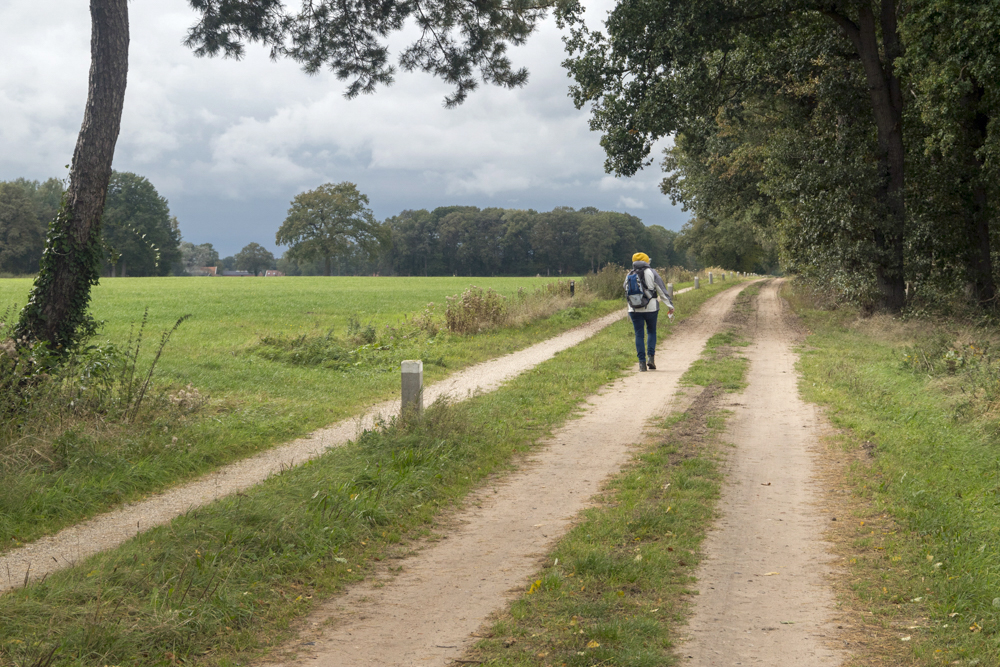
| Saturday 23 September 2023, 'white'
route, starting at parking Pompsterplaat in the Kollumer Waard/Kolummeroord (5km,
province Friesland) near the Lauwersmeer. One of the many great hiking-routes in the Lauwersmeer area taking you through open fields, forest (Zomerhuis Bos) and a viewing plateau looking over Blikgaatplat. Again can obviously be muddy, but relatively easy going and the hike takes you through some woodlands as well in case you need some shelter from the wind and rain.. Signposts are fine, but if you want our track anyway, its available HERE. |
 |
|||||
 |
 |
 |
|
 |
||
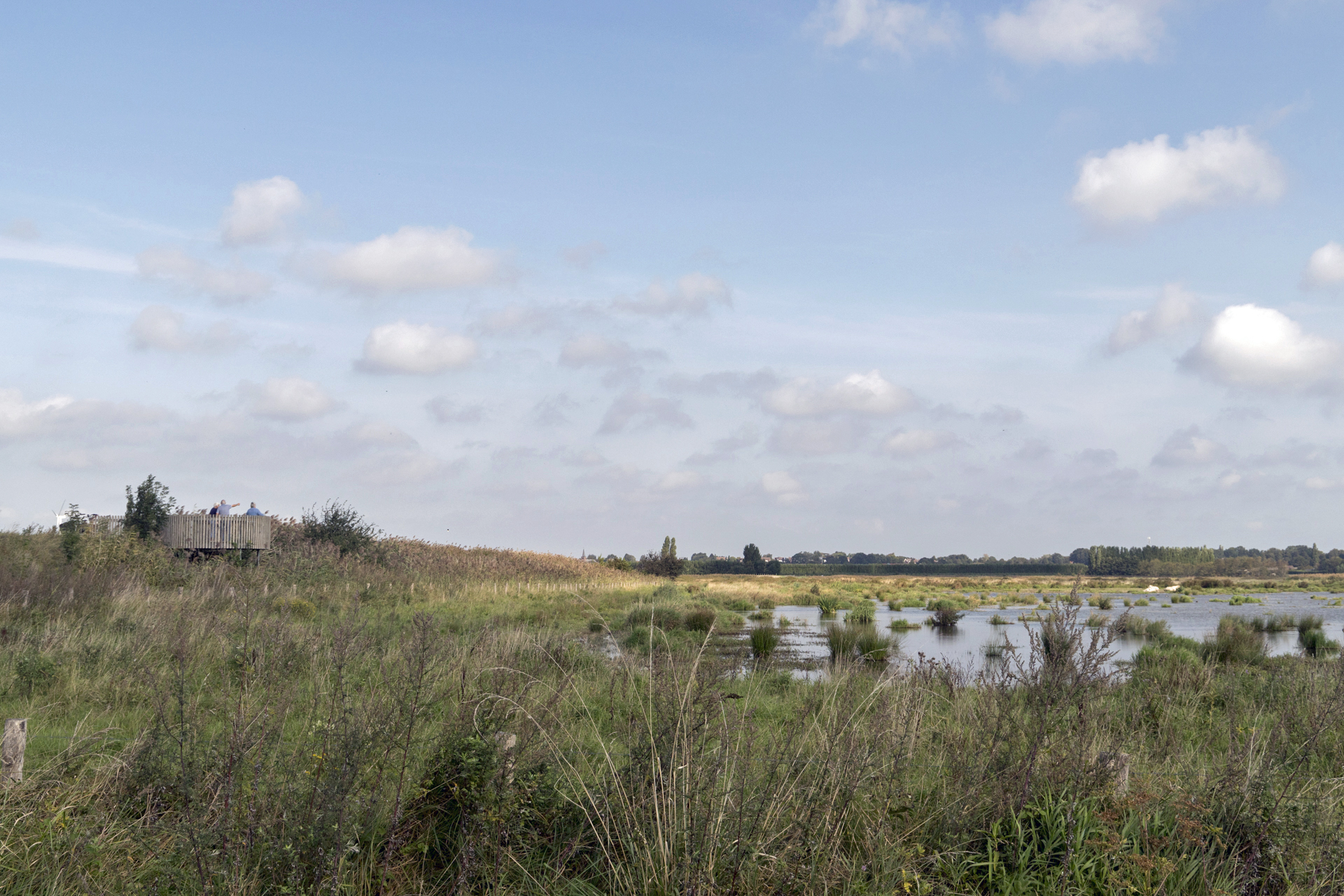
| Friday 22 September 2023, route
starting from the Lauwersnest (6km,
province Friesland; 'observatietoren route') near
the �Lauwersmeer. One of many nice routes in this northern part of The Netherlands. Reclamed, formerly sea and wetlands so flat and obviously often muddy although most of the trail is easy going. An observer point provides you with a great view over the reserve with an abundance of bird-life. Part of the area takes you through woodland; which can provide you with some shelter from stormy and cold weather; something to take into account when you visit this - open - area. Route indications are fine, if you want our GPS track anyway it's available HERE. |
 |
|||||
 |
 |
 |
 |
 |
||
| Sunday 13 August 2023, afternoon
stroll admiring the heather near Hilversum and Loosdrecht, in
the province of North Holland; 'green route' Hoorneboegse Heide
(heather) starting (again) at (Brasserie) De Zonnestraal; approx 5 km. We had been avoiding this area for too long; scared by seemingly congested parking's and everybody living in this area walking his dog here... And yes, it can be busy but somehow it's relaxed at the same time. Obviously you can avoid the crowds by choosing the right day, time of day and weather. As for the walk itself; it's worth your while. Varied walk; a mix of forest fields, remnants of ancient burial hills and beautiful heather colors if you choose the right season for your visit. Quite an interesting history as well and if you're into architecture you'll love it! The buildings of the former sanatorium De Zonnestraal have been beautifully restored and are maintained well. Ample parking for your car is available, public transport as well and if you're interested in the GPX-file for your GPS; it's available HERE for download. |
 |
|||||
 |
 |
 |
 |
 |
||
| Monday 24 April 2023, hiking the dunes
and beaches near Schoorl again, in the province of North
Holland; this time the 'Roetroute' starting (again) at Buitencentrum Schoorlse Duinen; approx 5.5
km. Again a nice and varied hike and some ascend/descents. Natures resilience is demonstrated along the route as you will pass an area which was destroyed by a bush-fire some years ago but recovering with some nice surprises. Interesting area to visit! Route is well marked, in case you want the GPS track anyway; its HERE |
 |
|||||
 |
 |
 |
 |
 |
||
| Sunday 23 April 2023 , improvised
route through the nature/recreation area Geestmerambacht in the province of North
Holland, approx 9 km. Open skies and flat polder landscape; trails vary from tarmac to mud, depending on your preference. You're circumnavigating nature reserve areas so ample opportunities for bird watching. As the primary function of this area is recreation; yes, it can be pretty crowded so pick the right day to join the crowds or select a quiet day.. Route is well marked, in case you want the GPS track anyway; its HERE |
 |
|||||
 |
 |
 |
 |
 |
||
| Saturday 22 April 2023, hiking the
dunes and beaches near Schoorl in the province of North Holland;
'Noordzee wandeling' starting at Buitencentrum Schoorlse Duinen; approx 10
km. Nice and varied hike. quite some ascend/descents and deep sands so prepare yourself for some exercise. Once you've reached the beach there's enough opportunity to grab a cup of coffee or lunch, e.g. Strandslag 22. The area is worth a visit! Route is well marked, in case you want the GPS track anyway; its HERE |
 |
|||||
 |
 |
 |
 |
 |
||
| Wednesday 15 February 2023, a
combination of the 'Bosbelevingspad'
and 'Laarzenroute near the Gees in the province of
Drenthe; approx 6 km. Nice varied hike. Easy going but 'Laarzen' is Dutch for wellies/boots, so yes, it's likely to be very muddy and wet at some place... Still, nice and worth a visit! Route is well marked, in case you want the GPS track anyway; its HERE |
 |
|||||
 |
 |
 |
 |
 |
||
| Tuesday 14 February 2023, local stroll
in and around the (museum) village Orvelte
in the province of Drenthe; approx 7.6 km. The museum village Orvelte is definitely worth a visit, but don't forget to hike in the surrounding area. Typical and historic landscape! Easy going, as most of the time; depending on the season waterproof footwear recommended. Route is well marked, in case you want the GPS track anyway; its HERE |
 |
|||||
 |
 |
 |
 |
 |
||
| Thursday 26 January 2023, the 'red' route by Utrechts
Landschap near Vianen in the province of Utrecht; approx
4.5 km. There is also a very short 'blue' route; 2km. Very typical scenery for The Netherlands; polder (reclaimed land); too wet for agriculture but put to good use by regularly harvesting the branches of Willows from patches of land called 'Grienden'. Varied landscape; easy, enjoyable walk, however please do note that - as stated - this area was too wet for agriculture... So it's too wet for open shoes as well; select waterproof footwear, preferably boots and be prepared to scrape of some mud afterwards. When you use the map; following the trail is easy, at 1 or 2 way-points the signposts were missing when we visited so enjoy our GPS track HERE is you like. |
 |
|||||
 |
 |
 |
 |
 |
||
| Monday 1 August 2022, based on the
�Veenkade� (peat-quay) route developed by the IVN. Near Breukelen / Portengen , Province South-Holland;
approx 6.5 km. Typical scenery for The Netherlands; peat, meadows, peaty-shores, small locks and wide open skies... Pretty varied and easy going, especially on a hot, dry summer day like we enjoyed. Do note however that the trail can be extremely muddy when wet. Most open terrain, quite some tarmac (cycle routes, not too busy) and fortunately some passages with shade as well e.g. a beautiful patch with numerous very old willows. Don't forget to climb the fish-friendly water-pumping station 'Dooijersluis' (2016) for a water management explanation and a great view! Along the way you will also find a pavilion 'de Grote Sniep' with a viewing tower and opportunity to get some drinks and food. Note that it has limited opening times. If you're interested in our GPS track for some guidance; it's available HERE. |
 |
|||||
 |
 |
 |
 |
 |
||
| Tuesday 5 July 2022, Dunea Dune (Duin) & Water
route, near Wassenaar/The Hague, Province South-Holland; approx
8.5 km. We enjoyed a family visit in The Hague and decided to drive a bit north to explore this area, very close to the North Sea Coast (walking distance). Especially as part of this area, the Waalsdorpervlakte (Meijendel Dunes) is on Dutch television once year when we remember our deaths of WW2. So apart viewing an impressive, historical site, ignoring this area until now for hiking turned out to be a mistake.; it's a beautiful dune landscape worth your visit. The area - where a lot of our drinking water is filtered - is riddled with paths for hikers, bicycles and (horse) riders, in most cases cleverly separated from each other. Nevertheless - considering the huge parking places available - it can be busy in weekends and holidays. As for footwear; for once we can state that it doesn't really matter what kind of shoes you're wearing; most of the routes are either tarmac or gravel; easy going with some minor ascents/descents. Our GPS track is available HERE (NOTE: plenty of other routes available on site) |
 |
|||||
 |
 |
 |
 |
 |
||
| Monday 2 May 2022, Cherry
('Kersenpracht') route, Cothen/Wijk bij Duurstede, approx. 8 km,
based on Routes in Utrecht.
OK, we had the weather on our side, but this hike, relatively close to Wijk bij Duurstede and Utrecht was great. Although the route is intended to take you through blossoming Cherry trees, obviously only a few weeks per year, it's very varied and offering you some great scenery outside this time-frame as well. You will cross wide open fields, some small bridges and you will wander along the river 'Kromme Rijn'. Track can obviously be muddy so choose proper footwear depending on the circumstances and bring some beverages and water as there is not too much for sale enroute... Our GPS track is available HERE |
` |
|||||
 |
 |
 |
 |
 |
||
| Sunday 24 April 2022, De Slotplaats,
Bakkeveen, Province Friesland, appox 5.7km through an area
managed by Natuurmonumenten. On the other side of Bakkeveen - refering to yesterdays hike below - is an old estate De Slotplaats offering some easy walks, again through a varied landscape including some history (ancient fortifications and estate history) and scenic fens surrounded by pine trees reminding us of Scandinavia. to be helpful in this case; it's HERE |
 |
|||||
 |
 |
 |
 |
 |
||
| Saturday 23 April 2022,
Mandeveld (Mandefjild), province Friesland (It Fryske Gea),
approx. 11km in a nice nature reserve managed by It Fryske Gea. Varied landscape, offering many hiking trails, well signposted and taking you through and along heather, forest, sand-dunes, peat-swamps and fens. Can be pretty busy during weekends and holidays but as usual the number of visitors decreases rapidly as the distance to the parking-places increases especially in the neighborhood of Bakkeveen. On the other hand, that's a great place to have coffee, thee, lunch or dinner. From a geography point of view; the area is located very near the point where three Dutch provinces meet: Groningen, Drenthe and Friesland. to be helpful in this case; it's HERE |
 |
|||||
 |
 |
 |
 |
 |
||
| Thursday 14 April 2022, de Leyen, de
Bilt/Bilthoven, province Utrecht, approx 4.3 km, another route
in an estate managed by the Utrechts
Landschap foundation. Very easy route, pretty popular for a Sunday-afternoon stroll, close to the city of Utrecht. Lots of trails here to wander around, varied landscape around a beech lane, home to bats, owls, woodpecker and in the early evening you might even even spot some roe deer, The track inevitable leads you along a busy railway, but the yellow carriages mach perfectly with the green landscape and they will pass in jiffy.. Our GPS might be helpful; it's HERE |
 |
|||||
 |
 |
 |
 |
 |
||
| Tuesday 12 April 2022, Stameren &
De Zanderij , Maarn, province Utrecht, approx 6 km. Area
maintained by the Utrechts Landschap foundation. Revisited (earlier 26 December 2013) and the description (below) is still valid. We extended our hike a bit, the forest trails through Stameren seem to be redesigned and improved a bit. Anyways, it's still a nice, easy walk if you take the steep stairways into account. It's pretty popular, thus can be a bit crowded so pick your day carefully. And note that your hike can easily be extended through the forest in the direction of Doorn, Various routes and numerous signposts, our GPS might be still helpful; it's HERE. |
 |
|||||
 |
 |
 |
 |
 |
||
| Monday 28 February 2022, Haarzuilens
(Vleuten-De Meern), province Utrecht, approx. 8.5 km...
Variation on the route (11km) suggested by Natuurmonumenten
as we hiked the most southern circle earlier.
If your looking for a typical Dutch landscape you've come to the right place. Fields and water, wide open views with a lot of sky and a lot of history as this area was already occupied during the Iron Age. Note however that Natuurmonumenten, the organization now managing this area is transforming the landscape; lots of young trees have been planted and in the future there will be some serious forests here as well. Apart from that it's already a varied and interesting hike, circling around the Estate Haarzuilens with its' beautiful fairy-tale 20-century castle; visiting this castle and it's gardens is definitely recommended. The track is extremely easy going, you can avoid potential muddy parts if you like but you'll miss out on some interesting details and developments. Our GPS might prove to be helpful in this case; it's HERE.  |
 |
|||||
 |
 |
 |
 |
 |
||
| Monday 7 February 2022, Amersfoort,
Leusden, province Utrecht, approx. 10 km... Stoutenburgerpad
Just east of Amersfoort you will park your car at the Stoutenburg Estatene or - like we did - at the TOP (Touristic Transfer (�verstap") Point) de Schammer. Again a 'Klompenpad' (Wooden Shoe trail) and offering a vary varied walk with historical sights (WW2), abundant birdlife an al lot of water... Typical Dutch scenery.. so make sure you prepare for muddy trails again. We hiked the day after pouring rain in The Netherlands and despite the fact that the route is well maintained parts were definitely flooded... It only added to the fun thanks to waterproof foot ware, but we had to avoid the last bit along the river anyhow and chose the cycle-path instead. But these were extraordinary circumstances so we left the dramatic pictures out :-). We hiked the trail counterclockwise; that way we kept the the final part - closest to the noisy A28 Highway - for last. The trail is excellently marked! However in case you feel more confident with a GPS; please find our track HERE. |
 |
|||||
 |
 |
 |
 |
 |
||
| Monday 20 December 2021,
Hulshorst/Hierden, province Gelderland, approx. 9 km... Wandeling (hike Veluwemeerkust
Hulshorst Hierden (Natuurmonumenten) Just east of Harderwijk you will park your car near the village-church in Hierden a small village with just over 3,000 inhabitants. After a few hundred meters you will leave the village and hike through polders, forests, meadows etc. We'll be back in the spring or summer! There must be an abundance of wild flowers then! Even now it's a nice hike through a varied landscape. Be prepared for muddy trails so wear proper, in this case even waterproof footwear! We hiked the trail clockwise; the final part takes you through the village streets. Nice enough , but you might consider to reverse the track to save the best and most interesting part of the hike for last. The trail is NOT marked! The the route-description however is excellent and Natuurmonumenten offers you an App to support your navigation. In case you want our GPS track anyway, download HERE |
 |
|||||
 |
||||||
 |
 |
 |
 |
 |
||
| Thursday 14 October 2021, Afferden,
province Limburg, approx. 6 km... Afferdense Duinen route During a short autumn holiday we discovered the beauty of the Maasduinen Forest, heather, forest pools and a great view from the viewing tower... The trail is well marked, in case you want a GPS track anyway, download HERE |
 |
|||||
 |
 |
 |
 |
 |
||
| Thursday 14 October 2021, Maasduinen Reindersmeer,
province Limburg, approx. 6 km... Nice walk around the Reindersmeer (0,5) after a visiting the visitors center Maasduinen. Strongly recommended to recognize and appreciate the interesting history of this artificial lake. You walk around the whole lake or cut your hike in half and use your strength, and hopefully that of a few fellow-hikers to cross the lake by ferry. The view has a bit of Scandinavian feeling to it; especially with the weather we encountered. Still; recommended! The trail is well marked, in case you want a GPS track anyway, download HERE |
 |
|||||
 |
 |
 |
 |
 |
||
| Tuesday 12 October 2021, Afferden,
province Limburg, approx. 8 km... Duvelskuul route During a short autumn holiday in the Maasduinen we encountered forest, heather, goats and an impressive ruin, the castle Bleijenbeek with a fascinating (WW II) history. Recommended! The trail is well marked, in case you want a GPS track anyway, download HERE |
 |
|||||
 |
 |
 |
 |
 |
||
| Tuesday 24 August 2021, Geldermalsen,
province Gelderland, approx. 8 km... Leidschehoevenpad
(klompenpaden.nl) And again an impression of a typical Dutch landscape situated between the towns Tricht and Beesd. A genuine 'Klompenpad' (wooden shoes). Most of the route is unpaved and the parts on cobblestones and tarmac are along very quit roads... Easy going although as always prepare for muddy tracks. The trail is well marked, in
case you want a GPS track anyway, download HERE
 |
 |
|||||
| |
||||||
 |
 |
 |
 |
 |
||
| Friday 20 August 2021, Culemborg,
province Gelderland, approx. 8 km... Kuilenburgerpad
(klompenpaden.nl) Once again an impression of a typical Dutch landscape, close to the river Lek, originating in the river Rhine). If you travel by car; free parking available at the Palumbus parking just outside the city center of the city of Culemborg. This is a genuine 'Klompenpad' (wooden shoes)... most of the route is unpaved and the parts on cobblestones and tarmac are along very quit roads... Easy going although - obviously - especially the the part which takes you through the floodplains (river fore-lands) can be muddy and with an abundant plant-life so dress appropriately... Lots of things to see (history, landscaping) so make sure you use the Klompenpaden.nl app to get information along the route... The trail is well marked, but in case you want a GPS track anyway, download HERE  |
 |
|||||
 |
 |
 |
 |
 |
||
| Wednesday 11 August 2021, Kamerik,
province Utrecht, approx. 12 km... Houtdijkenpad Wandelen
over boerenland in Kamerik en Woerden (klompenpaden.nl) This hike provides, yet again, an impression of a typical Dutch polder (reclaimed land) landscape. A varied hike as you will encounter various historical landmarks (e.g. Roman trails) as well and you will enjoy the towing-path along the river Oude Rijn. Note however that the path is closed during the bird-breeding season. Unfortunately the track follows some very busy roads (noise) parallel to the track and has a relatively large percentage of tarmac and other solid pavement. Fortunately on the track there's not too much traffic. The trail is relatively easy, but can be muddy, including cow-poo, so as always bring sturdy footwear like wooden shoes... :-) Out track is HERE |
  |
|||||
 |
 |
 |
 |
 |
||
| Monday 2 August 2021, Wageningen,
province Gelderland, approx. 13 km..., 'klompenpad'
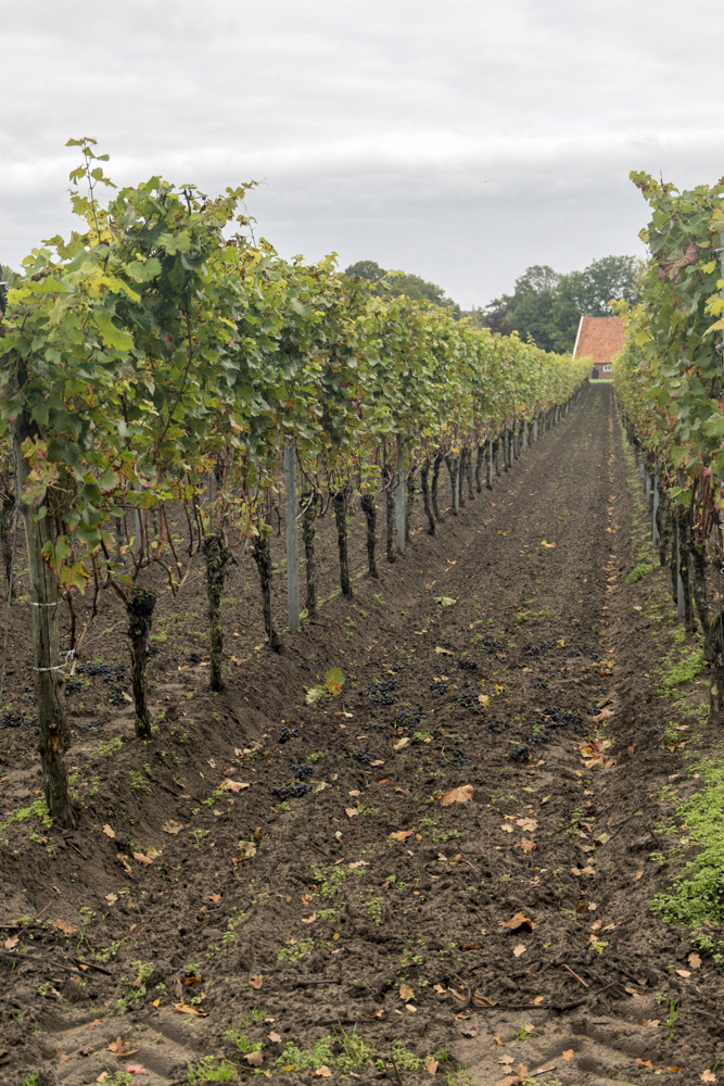
Wageningse Engpad; check out klompenpaden.nl This hike demonstrates perfectly why the famous Wageningen University & Research (WUR) is located in this town; the landscape is extremely varied with lots of special terrain. The views over the riverbanks of the river Rhine are impressive, You will pas grape-fields, wild-flower meadows, fields, forests, city gardens, a memorial site, old estates and finish the hike wandering trough a well maintained Arboretum with a unique Rhododendron collection. Again an impressive mix of agriculture and nature! It's usually not difficult to select 5 pictures representing the character of the hike... yet this time these 5 pictures really don't suffice so you'll have to go and look for yourself... The trail is relatively easy, about 100 mtrs ascent, well maintained although as always it can be muddy when rainy or snowy so bring sturdy footwear like wooden shoes... :-) Out track is HERE |
  |
|||||
 |
 |
 |
 |
 |
||
| Friday 16 July 2021, Benschop,
province Utrecht, approx. 9 km..., 'klompenpad'
Benedeneindsepad; check out klompenpaden.nl Although we live relatively close to this area, until now missed this one. Very pleasant surprise; varied, well maintained 'wooden shoe' trail. This trail really let's you enjoy wide views; Dutch skies. It represents what's been done in The Netherlands to combine agriculture en and nature. If you're a birdwatcher you won't be disappointed and even for kids this is an adventures hike with the lookout-tower and manual ferry... The trail is easy to follow, numerous signposts; please beware of the closures during the (bird)breeding season (alternative routing available). And yes, it can be muddy when rainy or snowy so bring sturdy footwear like wooden shoes... :-) Out trail is HERE |
 (c)
Klompenpaden.nl (c)
Klompenpaden.nl |
|||||
 |
 |
 |
 |
 |
||
| Thursday 1 July 2021, Beuningen,
province Overijssel, approx. 11 km..., home-made route
using Wandelnet
and OsmAnd
technology... It's not too hard to define your own hike with Wandelnet and OsmAnd on your smartphone. Starting at the campsite Olde Kottink we moved in the direction of the Singraven estate. Initially - sorry, tarmac again - through the fields with a lot of wild flowers followed by cultured, park-like forests (Sterrebos, English landscape-style) obviously repeatedly encountering the meandering river Dinkel again where you will be presented with a piece of remarkable history at the Mauritsbrug where prins Maurits crossed the river in 1597 with 9000 men and 1600 horses! Easy, flat trail but especially the last bit can be muddy and wet so again; sturdy footwear or wellies recommended. Out trail is HERE |
 |
|||||
 |
 |
 |
 |
 |
||
| Wednesday 30 June 2021, Ootmarsum,
province Overijssel, approx. 6 km..., based on route.nl (412197) Taking the weather forecast into account a short and easy hike today through the cute (art and tourism) village Ootmarsum and the surrounding area. Our track is available HERE. |
 |
|||||
 |
 |
 |
 |
 |
||
| Tuesday 29 June 2021, Lutterzand, province
Gelderland, approx. 9 km... combination of the yellow and
orange route. The routes are signposted at restaurant Florilympha
and Paviljoen Lutterzand; the latter being the
official parking for hikers. One of the most enjoyable hikes this week; most off-road and extremely varied (protected) landscape. Most of the area is privately owned and you're give 'right of way' (Dutch: 'opengesteld') but be prepared for last minute changes of the routes as insights of the owners and landscape managers progress and adapt to the changing landscape; especially due to the meandering river Dinkel.. Some light climbs and thus sturdy footwear recommended. Area is very popular so look for the right moment and in that case do stop for a coffee or ice-cream at the charming restaurant De Lutte Hutte; accessible only on foot or by bicycle. Our track is available HERE |
 |
|||||
 |
 |
 |
 |
 |
||
| Monday 28 June 2021, Beuningen,
province Overijssel, approx. 9 km..., home-made route
using wandelnet
en 'wandelknooppunten' (L74-E21-E22-L76-L73) . Based for a few days on the beautiful campsite Olde Kottink we explored the surroundings of Beuningen / Denekamp on foot. Excellent area for bicycle rides and nice area for hikes as well although it's hard to avoid tarmac and bicycle paths on foot as a lot of the land is privately owned and the English concept of ' right of way' is not very common here. Still a great area to explore and enjoy with some careful planning and it's very close to the German border; an area offering some great nature and hikes as well. While walking we stumbled on the edge of Lutterzand; more on that tomorrow... Out track is available HERE. |
 |
|||||
 |
 |
 |
 |
 |
||
| Thursday 24 June 2021, Vrouwenpolder,
province Zeeland, approx. 9 km..., home-made route. It's not too hard to define your own hike in this varied landscape; departing from this weeks base-camp; Haflingerhof/De Heksenketel we set of for a circular walk. At the risk of becoming boring... again a varied, nice walk and indeed requiring sturdy boots or wellies when the weather turns against you. However remember, this province is famous for the most 'sunshine' hours in The Netherlands and obviously the windy conditions. Basically it's forest and fields, you might want to grab a bite in Vrouwenpolder and then finish your hike following the dike. This dike really demonstrated the need for dikes in Zeeland; as the water on one side is impressively higher than the land on your right side... Our track is available HERE |
 |
|||||
 |
 |
 |
 |
 |
||
| Wednesday 23 June 2021,
Oostkapelle/Vrouwenpolder, province Zeeland, approx. 10
km..., route based on the route 1032136 on route.nl We hiked this route counterclockwise; considering the direction the wind blew; we liked wind from the back on the beach. Good decision, also because the beginning of the route - following a very busy, paved bicycle path. That's all forgotten after you are allowed to proceed via a section of the nature-park Oranjezon. Extremely nice (coastal) forest. The rest of the park (fenced-off) is open to visitors as well but requires buying a day-ticket at the main entrance. After leaving the park you proceed through the dunes and backtrack via the always pleasant beaches of Zeeland. Our track is available HERE |
 |
|||||
 |
 |
 |
 |
 |
||
| Tuesday 22 June 2021, Veere, province
Zeeland, approx. 9.3 km..., based on, but deviated from
the a route.nl (177037) hike Varied circular walk; dikes, town, fields, paved and unpaved roads. Despite the fact that the track brings you on tarmac intersections as well bring sturdy, waterproof boots or even wellies when the weather is 'interesting'. Our track; it's HERE; but this area is swamped with alternative and well marked trails for hiking, horse riding or bicycles. |
 |
|||||
 |
 |
 |
 |
 |
||
| Tuesday 9 June 2021, Amstelveen
(Amsterdam), province North-Holland, approx. 7.5 km...,
route improvised based on the information on hiking the
Amsterdamse Bos HERE When you appreciate English garden design or just want leave a busy city like Amsterdam (or Schiphol Airport) for a few hours this is a great place for a walk. Depicted on the map is the southern part of the Amsterdamse Bos (Bos = Forest). South of the A9, just east of Schiphol Airport. You can easily extend your hike by crossing under the A9 and move to the even larger northern section of the Amsterdamse Bos. The park - created as an employment project by the city of Amsterdam during the depression of the1930's - is very well maintained. The footpaths, as well as numerous bicycle paths, are easy going; not requiring any specific footwear and offer a varied hike. Ample free parking space available and easily reachable by public transport, so yet, it can be busy. And you do have to live with the background noise of the highways and aircraft; depending on how the wind blows... There are many signposts and information panels, but in case you want to benefit from our track; it's HERE. |
 |
|||||
 |
 |
 |
 |
 |
||
| Friday 4 June 2021, Bunnik, province
Utrecht, approx. 7 km..., route courtesy of klompenpaden,nl Going around in circles can be fun! Again a nice hike from Klompenpaden.nl (klompen = wooden shoes). Varied walk through an interesting the landscape from both a historical (Roman fortresses and the Dutch Water Line (defense structures) and nature perspective. Most of the track requires boots or sturdy footware allthough the trail and signposts are well maintained. 'Klompenpaden' offer an app for your smartphone, have a look on their website. Always nice, but considering the many options and circles the hike offers especially recommended for this hike; therefore we do not offer our GPS track for this hike. A useful map is also available for download on their website; offering additional information on history and nature. The only downside can be the proximity of the railway and motorway but just concentrate on the varied landscape! |
  |
|||||
 |
 |
 |
 |
 |
||
| Wednesday 19 May 2021,
Reijmerstok, province Limburg, approx. 7.5 km... ascent
approx. 170 meters, route by myself, improvised... :-) On the last day of our short trip to Zuid-Limburg a bonus hike, starting from the excellent campsite de Puthof (note: apartments for hire as well) a random route through the fields and forests. Hike proved to be very enjoyable again and made it clear that there's so many tracks in this area that even random wandering is possible in this area without ending up on tarmac or busy roads. For those interested; the track is HERE. |
 |
|||||
 |
 |
 |
 |
 |
||
| Tuesday 18 May 2021,
Reijmerstok, province Limburg, approx. 9 km...ascent
approx. 130 meters. A route by "Route.nl" This route orginally takes you from Euverem to Reijmerstok but as we camped out in Reijmerstok we started our route from there. Again a vary varied route and again we experienced all seasons along the way. But as there's no such thing as bad weather, only bad clothing :-) the hike was fun anyway or perhaps even more... Similar recommendations as yesterday (below) as you will be crossing some slippery cow trails as well... Note the fields where hop is grown; a vital ingredient for the famous biers from Limburg like 'Gulpener'. Apart from the guidance on Route.nl please find our GPS track HERE. |
 |
|||||
 |
 |
 |
 |
 |
||
| Monday 17 May 2021, Slenaken, province
Limburg, approx. 9 km, ascent approx 250 meters... Route
by "Wandelgids Zuid-Limburg" Like most hikes in Limburg; beautiful, varied and challenging due to the hilly terrain. The hike, downloaded from a nice website with many other hikes in Limburg https://wandelgidszuidlimburg.com/ proved to be all that and we experienced a lot of seasons while enjoying the landscape. Although you're likely to find the weather fine we do recommend sturdy and waterproof hiking boots or Wellies and even walking-sticks may be a good idea on these slippery hills.. Nevertheless; highly recommended and our GPS track is attached HERE and available on the Wandelgids Zuid-Limburg website as well. |
 |
|||||
 |
 |
 |
 |
 |
||
| Monday 3 May 2021, Zeist,
province Utrecht, approx. 6 km... Route by "Utrechts
Landschap" The "Bunsingroute" takes you through an urban but varied landscape, passing some places like Slot Zeist and the historical estates Wulperhorst, Blikkenburg and Schoonoord as well as the remarkable head-office of the WWF. The 'barren' area on the second photo will look different throughout the year; its a field where wheat is grown in an ecological way. The desolated land on the fourth picture is in transition; the top soil had been removed and the area is now in transition to a 'wet land' giving a diverse nature a chance for success! We'll be watching... A variation of brief moments of the tarmac on quiet roads but most of the route on unpaved, well maintained and signposted ('green markers) footpaths through forests and fields. Although route is well market; if you like you can download the GPS track HERE. |
  |
|||||
 |
 |
 |
 |
 |
||
| Monday 19 April 2021, Heemparken,
Amstelveen, province Noord-Holland, approx. 3 km or much more if
you prefer... The "Heemparken"; not much as an exercise but world-famous and a fascinating and relaxing landscape in the middle of one of the busiest areas in the Netherlands. Obviously busy during holidays and weekends... Monday morning is usually great! No GPS track, very straight forward and this hike as well as many other surprising ones in this area via Wandelroutes in Amstelveen, Thijssepark, Wandelnetwerk Noord Holland and other websites. |
   |
|||||
 |
 |
 |
 |
 |
||
| Monday 12 April 2021, Zierikzee,
province Zeeland, approx. 11.5 km This hikes provides something for everyone; of your interested in how the Low Countries defend themselves against the sea, well this demonstrated both the challenges and the solutions. Apart from that the area behind the dikes are now great nature reserves; like the one you will be circumnavigating with some great views on "Levensstrijd". The track is paved all-the-way, but you won't be bothered by too much traffic apart from some cyclists. Remember this is a windy/stormy area; so pick the right day and/or clothing or attitude to fight the elements... |
 |
|||||
 |
 |
 |
 |
 |
||
| Sunday 11 April 2021, (Nieuw)
Haamstede, Zeeland, approx. 9.3 km Directly from our campsite (Ginsterveld) though the dunes to the beach and then south-west via a beautiful beach back through 'Nieuw Haamstede'. The last bit on the paved road is a bit boring, but apart from that a great walk! |
 |
|||||
 |
 |
 |
 |
 |
||
| Friday 9 April 2021, Zeepeduinen,
Burgh-Haamstede, province Zeeland, approx. 3.5 km ... Making up for yesterdays wanderings and triggered by the fascinating 'inland dunes' landscap we decided to visit the Zeepeduinen again, now navigating properly. We were not disappointed; the distance wasn't too challenging but - after another (undocumented) hike elsewhere the deep sand again provided for ample exercise and; great scenery! |
 |
|||||
 |
 |
 |
 |
 |
||
| Thursday 8 April 2021,
Burgh-Haamstede, Schouwen, province Zeeland, approx. 8 km
(supposed to be 5.5km). The day after we arrived at our Campsite "Ginsterveld" for a one week break we hiked the surroundings of "Slot Haamstede" and the "Zeepeduinen". Varied walk, historically interesting (WW II) and a good exercise thanks to some steep sands and hilly terrain. The routes are marked; but - due to the closures related to the breeding season - we got lost a bit... |
 |
|||||
 |
 |
 |
 |
 |
||
| Monday 22 March 2021, Haarzuilens,
near Utrecht, province Utrecht, approx. 3 km Short, but interesting hike, especially if your interested in history; the "Historisch Beleefpad Haarzuilens" This hike; short (easy) hike, extremely interesting from a historical perspective although it might take some of your imagination to travel back in time to the Romans and Medieval times.. No GPS track this time; extremely straight forward routing and a the route and description can be downloaded on the website mentioned above... a GPS track would only distract you from the historical information provided with the description. |
  |
|||||
 |
 |
 |
 |
 |
||
| Friday 19 March 2021, Parnassia, nr
Bloemendaal, Haarlem, province Noord-Holland, approx. 5.5
km Beaches and dunes again, sorry; still our favorite surroundings and that of many other people so ... indeed a busy area; avoid busy times and you'll enjoy some spectacular scenery. Our track, based on the 'groene' (= Green) Kennemerduinen-route is just an example; there are many tracks in this area. All relatively easy going although the hilly landscape and deep sand will provide ample exercise... Some (short) tracks along busy and paved bicycle paths, apart from that fortunately unpaved... A good reference Our GPS track is available HERE |
  |
|||||
 |
 |
 |
 |
 |
||
| Monday 15 March 2021, Breede Water,
Rockanje, province Zuid-Holland, approx. 10.5 km Avoiding crowds during the weekends and holidays is again recommended for this popular area. Very varied, interesting and typical Dutch landscape. Especially when you pass the Rotterdam Europoort area on your way to this reserve the contrast is stunning; industry vs. nature. The area is managed by Natuurmonumenten; make sure you check the latest information before traveling there. This hike; relatively easy going, but can be extremely wet and muddy in some places. Make sure you bring your binoculars to check on the wildlife (birds in particular). Apart from that the pictures tell a thousand words... Dunes and beaches.. Again, can be very very busy during holiday and weekends. Please note: observe and respect the sign posts; part of the area and trails are closed during the breeding season! Our GPS track is available HERE |
  |
|||||
 |
 |
 |
 |
 |
||
| Monday 8 March 2021, Rozendaal near
Arnhem, province Gelderland, approx. 5 km As more and more people take to hiking, popular walks are are pretty popular during the weekends, hence we try to hike these areas on weekdays; recommended. The Rozendaal area is such a spot, especially close to the castle: Rosendael. Interesting area, with many hiking opportunities; our track is just an example to cross this hilly reserve. Despite the a-typical uneven terrain the paths are well maintained although sturdy footwear is recommended, especially when the whether is a factor. When following our track do not forget to have a look at the former swimming pool Beekhuizen, now transformed into a fascinating area! As stated before; very busy during holiday and weekends but otherwise a very relaxing area... Our GPS track is available HERE |
  |
|||||
 |
 |
 |
 |
 |
||
| Monday 12 October 2020, Wandelroute De
Leemputten near Winterswijk, province Gelderland, approx. 3 km During a autumn holiday trip we positioned our caravan in Camping het Wieskamp and explored the most eastern part of The Netherlands, adjacent to the German border. Great landscape for hikes and cycling. This hike; final (easy) hike of this camping trip... 'De Leemputten', interesting area from a historical perspective although nowadays most people will visit this nature-PARC to enjoy a combination of water and forest. Likely to be very busy during holidays and weekends... Our GPS track is available HERE |
 |
|||||
 |
 |
 |
||||
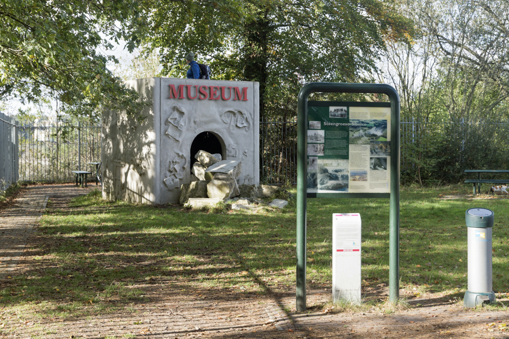
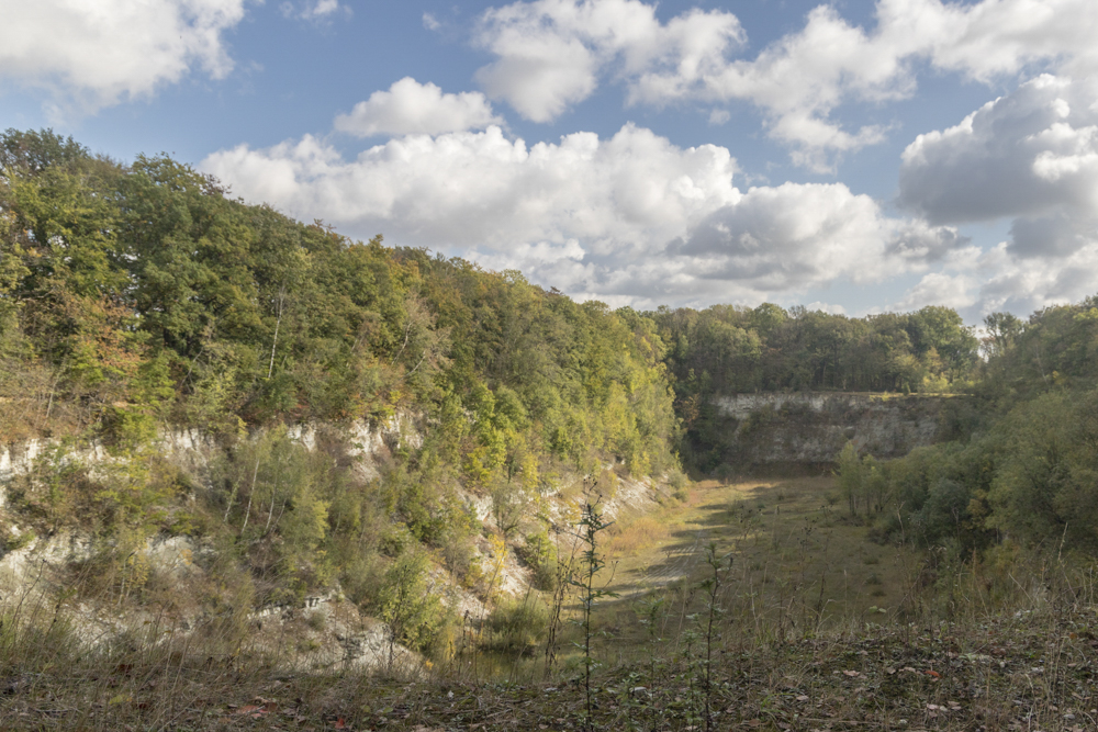
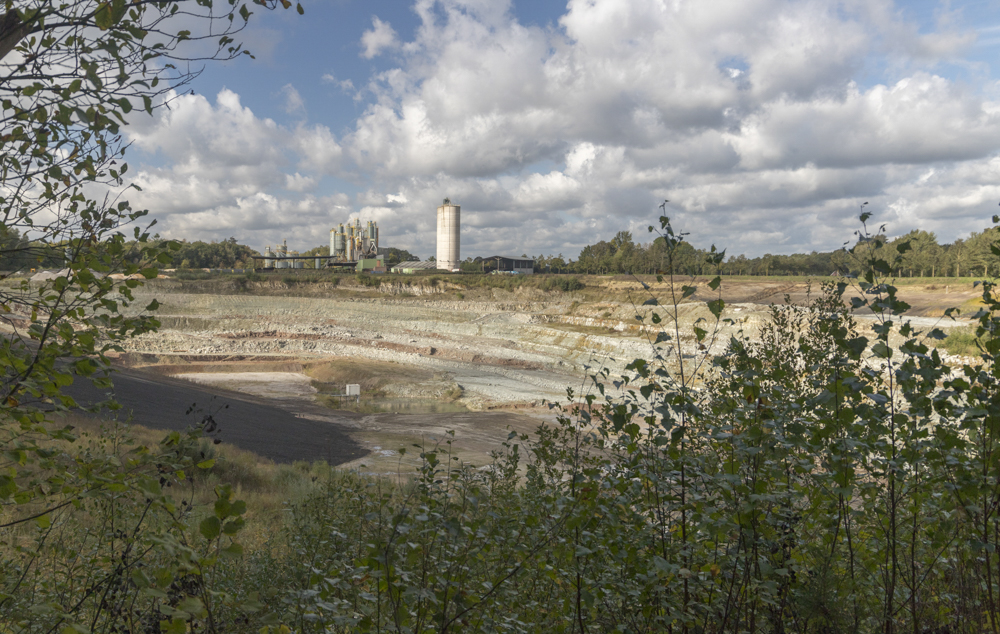
| Saturday 10 October 2020, Steengroeve
(quarry) Winterswijk, province Gelderland, approx 4 km During a autumn holiday trip we positioned our caravan in Camping het Wieskamp and explored the most eastern part of The Netherlands, adjacent to the German border. Great landscape for hikes and cycling. This hike; if you are in the neighborhood of Winterswijk you can't (and must) not miss the quarry. Part of it is 'given back to nature' and looks very promising from this perspective. But even the operational part of the quarry provides - yet from another point of view - a spectacular view. |
 |
|||||
 |
 |
 |
 |
 |
||
| Friday 9 October 2020, Wandelroute
Dottinkraede near Winterswijk, province Gelderland, approx 10 km During a autumn holiday trip we positioned our caravan in Camping het Wieskamp and explored the most eastern part of The Netherlands, adjacent to the German border. Great landscape for hikes and cycling. This hike; initially great; easy going through fields and forest, bit disappointing in the end; long, relatively busy road; tarmac all the way... Our GPS track is available HERE |
 |
|||||
 |
 |
 |
 |
 |
||
| Wednesday 7 October 2020 Wandelroute
Korenburgerveen near Winterswijk, province Gelderland, approx 8
km During a autumn holiday trip we positioned our caravan in Camping het Wieskamp and explored the most eastern part of The Netherlands, adjacent to the German border. Great landscape for hikes and cycling. This hike; very varied walk, counterclockwise (mandatory during Covid-19 pandemic) the most interesting part - and wettest for that matter - is the (peat)swamp in the end. Make sure to bring waterproof footwear and enjoy this scenery; even in the pooring rain :-) Our GPS track is available HERE |
 |
|||||
 |
 |
 |
 |
 |
||
| Monday 5 October 2020, Henxelse
wandelroute near Winterswijk, province Gelderland, appox 8 km. During a autumn holiday trip we positioned our caravan in Camping het Wieskamp and explored the most eastern part of The Netherlands, adjacent to the German border. Great landscape for hikes and cycling. This hike; relatively easy going mix of hardened and unhardened paths.... Nice scenery! Our GPS track is available HERE |
 |
|||||
 |
 |
 |
 |
 |
||
| Sunday 13 September 2020, Wandelroute
Fazant, Abdijbossen near Hoogerheide, Province Noord-Brabant, 5
km (www.natuurmonumenten.nl) We ware in the neighbourhood so took the opportunity to be surprised by this unique landscape...the Brabantse Wal; a natural 'wall' in the landscape near the Schelde. Easy, Sunday afternoon stroll but as most of the time; consider sturdy footwear, plenty sand and mud an probably fierce winds when the weather turns in this open area close to the water.... The Port of Antwerp can be seen in the distance, but apart from that you're alone with fellow-hikers and the birds. Our GPS track is available HERE but the route a very straight forward as you walk from one viewing point to the next. Historians might be interested in World War 1 and 2 stories being told about this very strategic locations. All in all; recommended; nice views, a varied walk, plenty of birds to watch and the differences in height (20 meters) are remarkable - at least not artificial -for this part of The Netherlands! |
 |
|||||
 |
 |
 |
 |
 |
||
| Sunday 2 August 2020, Kanonsbergroute,
Maashorst, Nistelrode, Province Noord-Brabant nd, 8 (12) km (Route.nl 910627) The "Maashorst" is a varied nature reserve; managed by 'Staatsbosbeheer". Exmoorpony's, Wisent and Taurus contribute to the management and 'wild' character of the area, despite the traffic noise of the nearby A50 highway. Relatively short connections via (busy) bicycle paths (tarmac) but you might consider sturdy footwear considering sand an mud. We took our inspiration from Route.nl however the GPS track available HERE is our own. The well-marked (yellow signposts) of the 'boswachterspad Kanonsberg" route deviated somewhat from the GPS track posted on route.nl as you can see on the map. Not a real issue. Our track however starts at the parking at the Zwarte Molenweg in Nistelrode. The parking near the sporting-grounds along Loo in Nistelrode is closer and if there are enough parking places available at the Schaijksedreef (starting point) it will save you 3 relatively boring kilometers. All in all; recommended; nice views and a varied walk! |
 |
|||||
 |
 |
 |
 |
 |
||
| Sunday 14 June 2020, Wekeromse Zand
near Wekerom, Province Gelderland, 8 km The "Wekeromse Zand" is one of the last remaining 'drifting sand' areas in The Netherlands This (circular) hike has entered our personal top 10; very varied, abundant wildlife (birds, insects), primarily off road tracks and cyclists are kept at a distance apart from some mountain bikers... Some ancient burial hills as well, the Celtic fields, ice ages stone and other landmarks and you might even encounter Mouflons. We started our hike at the parking along the Vijfsprongweg near the replica of an iron age farmhouse. . Sandy or muddy depending on the weather, so sturdy footwear recommended. We tried to follow the 'red route' but despite or maby because of the numerous signposts we navigated primarily with a map which can be found HERE and includes an explanation on what you encounter en-route. Our GPS track can be found HERE. |
 |
|||||
 |
 |
 |
 |
 |
||
| Friday 12 June 2020, Dwingelderverld,
Province Drenthe, 8 km The "Dwingelderveld" is a nature reserve near the scenic town Dwingeloo. Many hiking and cycling opportunities; famous for the Radio Telescope, the moor, the herds of sheep and very specific wildlife. We started our hike at the parking near Lhee; 'Achter het Zaand' and used the bird watching cabin next to the Davidsplassen as our destination. Not a circular route as we were aiming to watch and photograph see adders (snakes) and various types of dragon flies. Enjoyable route, taking you along the sheepfold, the Radio Telescope, the moors, ancient burial hills etc. Easy going and not critical as far as footwear is concerned but if you want to avoid being stuck to the cycling path (tarmac) sandy or muddy depending on the weather. It's a popular area, so avoid busy days e.g. weekends. Our track (pretty straightforward) can be found HERE and more information on the reserve can be found HERE. |
 |
|||||
 |
 |
 |
 |
 |
||
| Wednesday 10 June 2020, Circular walk
near Monster, Province South Holland, 13 km Coastal walk taking you through the dunes and on the beach next to the city of Monster a popular destination situated between The Hague and Rotterdam (Hook). Varied walk through the shallow dunes and nice beaches with enough places to take grab a bite or have a beer looking over the North Sea. Enjoyable route, especially with nice weather and when you appreciate the sea and beach. The dunes are remarkable shallow in this area and - if you're not used to it - you migh be surprised by the 'sea of greenhouses' for which this area is famous. If you're interested you might extend your walk a bit north on the beach an visit the 'sand-motor'; a very special way to protect and create our beaches and protect the Low Countries. Footware is as to be expected; prepare for sand on the beach; the remaining track is along or just next to the cycling path (tarmac). Avoid busy days e.g. weekends when this area is very busy! The route is very well signposted if you use the hiking-links ("knooppunten"). Our hike was based on the track published on https://www.route.nl/wandelroute/1071501/wandelen-in-de-duinen-van-monster however we took the liberty to deviate somewhat to visit the viewing point 'Bloedberg' (Bloody Mountain). Our track can be found HERE |
 |
|||||
 |
 |
 |
 |
 |
||
| Sunday 7 June 2020, Waterlinieommetje,
Woerden, Province Utrecht, 4,5 km City walk in a small town with a lot of history... going back to Roman times and more recent defensive efforts before 1900 using water as a defense keeping invaders out... interesting route but feel free to deviate a bit here and there or you might miss interesting objects and nice views... All going is on hard surface so footwear not very critical; a good place to start the route an park your car (P+R) is next to the railway-station. The route is not signposted as such but the description on https://www.route.nl/wandelroute/221074/waterlinieommetje-woerden makes use of the many signposts of other hikes passing this interesting town. If you insist on a GPS track; it can be downloaded HERE |
 |
|||||
 |
 |
 |
 |
 |
||
| Wednesday 3 June 2020, Grift en
Graftenpad, nr Achterberg, Province Gelderland, 10.5 km Varied walk near a historic area (war history Grebbeberg) and trough a typical Dutch agricultural landscape and serious attempts to combine this with sustainable natural landscape and leisure facilities. Again a nice 'Klompenpad' (wooden shoe path) partly through the fields. Part of the walk is on relatively busy and a bit boring tarmac cycle path so make sure you pick a day with scenic clouds for some distraction. Sturdy, waterproof hiking boots or 'Wellies' only necessary on a short route through the fields yet recommended. The path is well maintained and signposted. If you insist on a GPS track; it can be downloaded HERE and more details (in Dutch): https://klompenpaden.nl/klompenpad/grift-en-graftenpad/ |
 |
 |
||||
 |
 |
 |
 |
 |
||
| Sunday 31 May 20, Nederlangbroekse
kastelenpad, Blue route, nr Langbroek, Province Utrecht, 6.5 km Varied walk through the countryside east of Utrecht; agricultural landscape passing castle Walenburg and the grounds of castle Sandeburg. The route can be extended with an additional 4 km. (red route) history). Part of the walk is along tarmac roads, some busier than others; depending on the day and time. On or following rainy days part of the off road route can be muddy so waterproof hiking boots or 'Wellies' recommended. The path is well maintained and signposted. If you insist on a GPS track; it can be downloaded HERE and more details (in Dutch): https://stichtingnederlangbroeksekastelenpad.nl/route-blauw.htm |
 |
|||||
 |
 |
 |
 |
 |
||
| Sunday 3 May 2020, Vuylcoppad, nr
Schalkwijk, Province Utrecht, 8.5 km Varied walk through a historic inundation area (war history) and passing a 'drowned forest'. The area is now assigned as a water-storage area, situated amidst various historic 'waterlinie' landmarks (fortresses) allthoug you will have to stray from your route a bit to pay them a visit. Again a nice 'Klompenpad' (wooden shoe path) through the fields. Part of the walk is on (quiet) tarmac roads but the real fun starts when you cross the fields. Sturdy, waterproof hiking boots or 'Wellies' recommended although we were fortunate enough to complete this hike on a dry day. The path is well maintained and signposted. If you insist on a gps track; it can be downloaded HERE and more details (in Dutch): https://klompenpaden.nl/klompenpad/vuylcoppad/ |
 |
|||||
 |
 |
 |
 |
 |
||
| Sunday 15 September 2019,
Netelenburchpad, Baarn, Province Noord-Holland 5.5 km Alongside the river Eem we hiked along a 'Klompenpad' (wooden shoe path) through the fields of farms. Part of the walk is on (quiet) tarmac roads but the real fun starts when you cross the fields alongside the cattle. Sturdy, waterproof hiking boots or 'Wellies' recommended although we were fortunate enough to complete this hike on a dry day with clear skies. Path is reasonably well maintained. The route is well marked but if you insist on a gps track; it can be downloaded HERE and more details (in Dutch) https://klompenpaden.nl/klompenpad/netelenburchpad/ Please note that the route is partially closed during the breeding season (15 March - 15 June). |
 |
|||||
 |
 |
 |
 |
 |
||
| Thursday (Ascension Day) 30 May 2019,
Estate Gooilust, 's
Graveland, Province Noord-Holland 3.3 km In the area 'Gooi en Vechtstreek' there are many estates founded by wealthy merchants from Amsterdam. Various ones are now open to the public and well maintained by Natuurmonumenten. Gooilust is no exception, a rich and interesting history, erected and maintained in a typical English style which we admire so much. So, although the walk isn't a challenge; the beauty and variety of this estate are such that it deserves a place in our hiking gallery. Especially when the Rododendron, typically for these estates, are blooming (May). The route - when you need one - and additional information can be downloaded HERE. As for the hike, you can easily extend it to 17km if you like... the 3.3 km on the estate are easy going but might be muddy in some places. Please note that parking on the drive is limited so you might want to pick an off-season or working day to visit the estate. |
 |
|||||
 |
 |
 |
 |
|||
| Sunday 21 April 2019, Brummen near
Zutphen and Dieren, Province Gelderland, 9.5 km There are a many hiking tracks available in this scenic area near the river IJssel and the largest naturereserve in The Netherlands; Veluwe. We decided to use the track of the local Red Cross as a bases and varied somewhat... Our version of the track is available for download HERE. Varied scenery; cultured forest and typical agricultural landscapes... easy going, bit too much tarmac for our taste (hence our detours) but the roads are pretty quiet so it's not a real issue. An exceptionally warm and bright Easter-day with temperatures soaring up to 25 C! Starting point is near Caf� de Vroolijke Frans... |
 |
|||||
 |
 |
 |
 |
|||
| Early April 2019, Dutch coast and
dunes near Castricum and Bakkum; Province North Holland, Three
nice hikes 11.4, 10.6 and 7.1km Again, no need for a GPS-track, lots of signposts and information-panels en route... Acquiring the local hiking and cycling map is recommended. It's for sale at the information centers, campsites etc. Varied coastal scenery in this area, managed reserve by PWN, a Dutch producer of our freshwater supplies. Yes, as this area is privately managed you'll have to get a day-pass at one of the automated tellers. Easy going, lots of (semi)wildlife; birds in particular although this area - as everywhere in The Netherlands can be pretty crowded in the summer. Very popular with cyclists as well although they are limited to hard-surface tracks after 10:30 AM. More photographic impressions from this trip: Bakkum/Castricum 2019 |
 |
|||||
 |
 |
 |
 |
|||
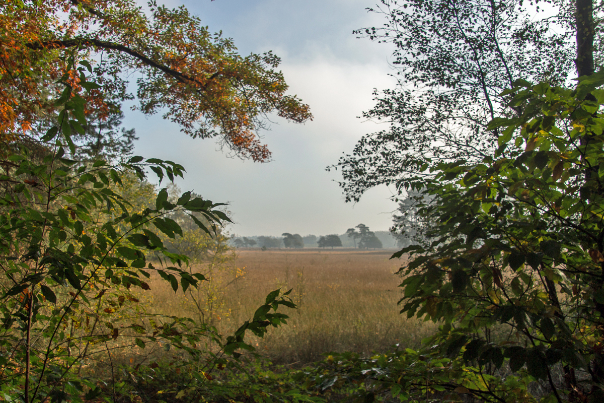
| Sunday 17 February 2019, Breeveen near
Leersum, Province Utrecht, 6.5 km Again, no need for a GPS-track, lots of signposts en route... Very varied scenery; forest and moor... easy going although you have to conquer some elevation...it's hilly terrain. Thus very popular for MTB's as well; but their routes are kept well apart from the footpaths... For those with an archeological interest, there are prehistory graves (barrows) on site as well as the mausoleum 'Tombe 'van Nellesteijn" (1818) and the 'Uilentoren' (1904) in Leersum Courtesy of the 'Utrechts |Landschap'society... |
 |
|||||
 |
 |
 |
 |
 |
||
 Friday (Kingsday)
27 April 2018, Bornia Estate near Driebergen, Province Utrecht,
5.5 km Friday (Kingsday)
27 April 2018, Bornia Estate near Driebergen, Province Utrecht,
5.5 kmSimple navigation this time; simply start at the parking along the Traay in Driebergen and follow the blue markers.... Very varied scenery, well marked trail and easy going; no real rough patches... Courtesy of the 'Utrechts |Landschap'society... |
 |
|||||
 |
 |
 |
 |
|||
|
 |
|||||
 |
 |
 |
 |
 |
||
| Saturday 24 March 2018, Deelerwoud,
Deelen, Province Gelderland, 9 km Late afternoon reconnaissance of the Deelerwoud trail in the eastern part of The Netherlands. Walking anti-clockwise the route takes you around a large open area (hey) close to Deelen AFB (helicopters only) and west of the famous airfield for gliders 'Terlet'. Well marked, easy going. Nice vieuws and you might even spot some deer. The only disadvantage is the proximity of the highway A50, especially with the wind blowing from the east. When looking at the last picture; yes, the winterstorms have taken their toll on a lot of places around the track but the trees are left like that on purpose for the diversity and health of the forest. You can download the GPS track HERE |
 |
|||||
 |
 |
 |
 |
 |
||
| Sunday, 6 August 2017, Oudhorsterpad,
Woudenberg, Province Gelderland, 7,5 km (GPS 8.5 km) On track again.. this time a 'Klompenpad' (wooden-shoes (farmers) -trail) in particular the Oudhorsterpad. Walking anti-clockwise it starts off with a long straight path following a former railroad track. As this is relatively high above the counrtyside - like on the way back where the path follows a dike - it provides some excellent views - weather permitting - so it's hardly boring. Apart from that a very varied footpath and in the final stage you are treated with some interesting history lessons as this area has been part of Dutch defenses - making the most of our wet landscape - for many centuries. You can download the GPS track HERE |
 |
|||||
 |
 |
 |
||||
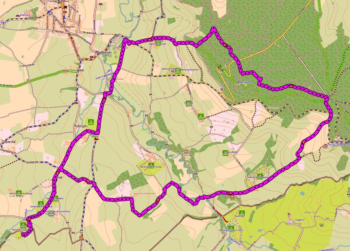
| Thursday, 29 October 2015, the sequal
of our hike on the 26th.. (down below...) 10.3 km East /North
East of our campsite landschapscamping Alleleijn, based on the
route provided by the campsite in collaboration with route.nl
You can download the GPS track HERE |
 |
|||||
 |
 |
 |
||||
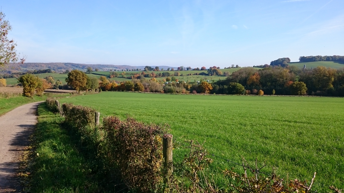
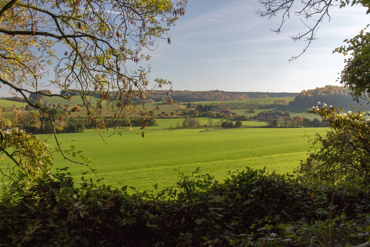
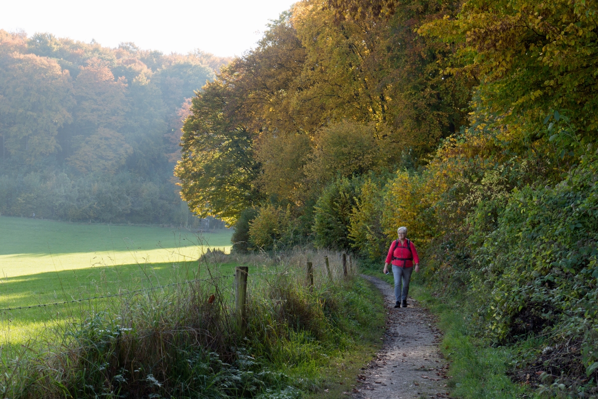
| Monday, 26 October 2015, the first
half of a hike completed on the 29th (above) 9.1.km West
of our campsite landschapscamping Alleleijn, based on the route
provided by the campsite in collaboration with route.nl
This nice hike takes you through the hills on the border between Belgium and The Netherlands... The route as published is almost 12 km but we decided to split in two, enjoying two great walking days... Very varied landscape, hilly, plenty of options to divert from the route, nice views... in short - and the same applies for day 2 (above) - recommended! You can download the GPS track HERE |
 |
|||||
 |
 |
 |
||||
| Wednesday, 1 April 2015, Fort(ress)
Kijkduin route near Den Helder (Huisduinen) in the Province of
Noord-Holland, Wandelroute boek nr. 56; approximately 6
kilometers. Folowing a visit to Fort Kijkduin - recommended to really appriciate the turbulent history of this area we've hiked this trail. Very easy trail as most of it runs through the outskirts of the City of Den Helder. Frankly speaking, not too interesting althought the lighthouse (Lange Jan) is impressive as are the view at the remarkable buildings (fortresess as well) of the Dutch Navy... (Den Helder is the base of the Dutch Marine)... Fortunately it all ends well with a nice stretch of sanddunes south of Huisduinen before you return to Fort Kijkduin... |
 |
|||||
 |
 |
 |
||||
| Monday, 30 March 2015, Zwanenwater
(Swanwater) route near Callantsoog in the Province of
Noord-Holland, Wandelroute boek nr. 57; approximately 6
kilometers. We've hiked this trail many years ago with the kids, now the two of us... relatively easy trail, but boots or waterproof shoes recommended as the trail can be very wet... This area is know for the many birds who use these calm lakes as a resting area, just behind the dunes protecting them (and us) from the North Sea winds... The place is a paradise for bird watchers and there are various shelters where you can observer the birds, so bring your camera, a long lens and your binoculars... Note; there is a small 'entrance fee' to be paid if you are not a member of 'Natuurmonumenten' or similar organisations. |
 |
|||||
 |
 |
 |
 |
|||
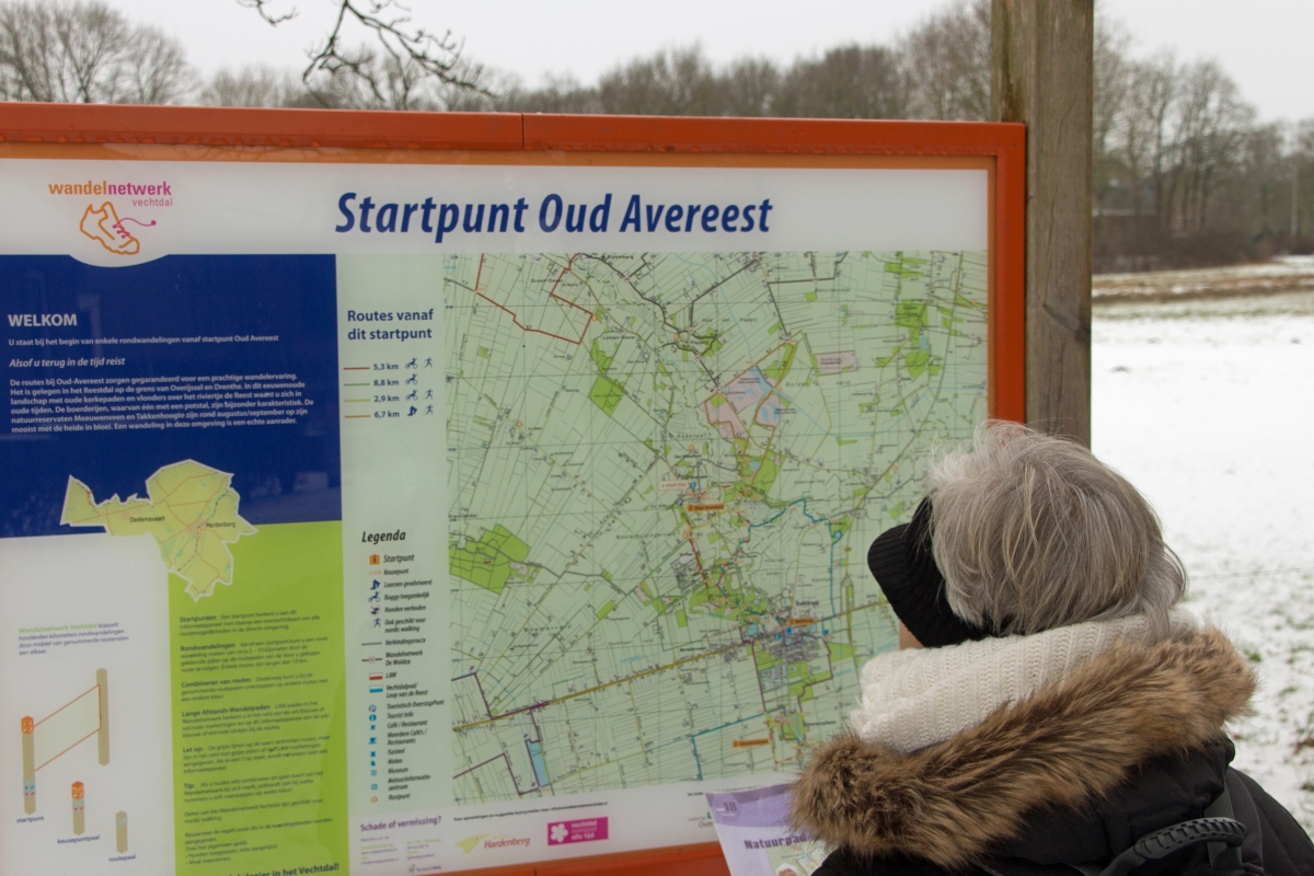
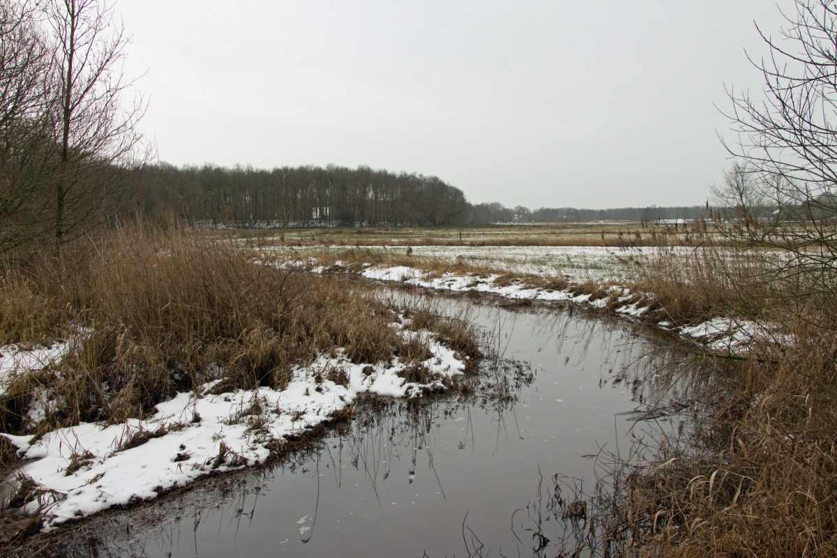
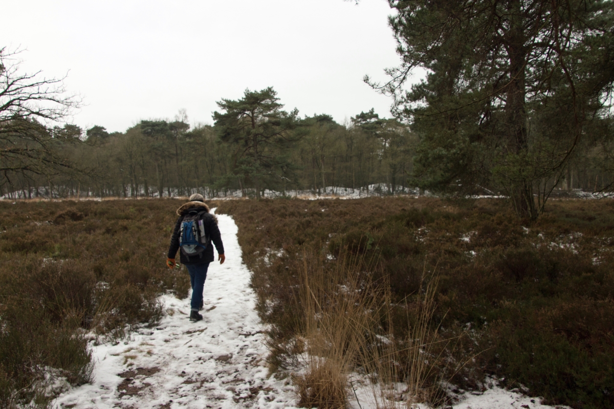
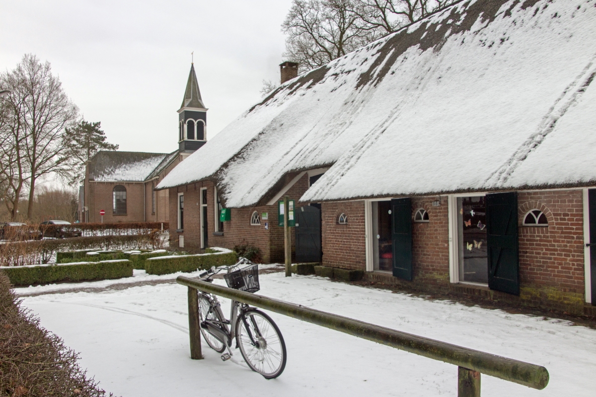
| Sunday, 25 January 2015, nature trail
"de Reest" in the Province of Overijssel, near Balkbrug,
Wandelroute boek nr. 18; approximately 6 kilometers. Explored on a dull winter-day, bit of drizzle and pretty slippery because of melting snow even with our excellent footwear... Don't let the dull pictures mislead you; we will definitely return to this area as it is very varied and must be beautifull with some sunshine. The hike leads you over ancient path used in the old days (back to 1750) where church visitors and laborours trodded to their destination. Now excellenty signposted and sometimes crossing some farmyards. The starting point in Aoud Avereeest provides ample parking space and the visitor center "De Wheem" offers maps and other goodies as well as some beverages... You can download the GPS track HERE |
 |
|||||
 |
 |
 |
||||
| Sunday, 19 October 2014,
"Mortelenroute" in the Province of Noord Brabant, near Oirschot,
Wandelroute boek nr. 82; approximately 6 kilometers. Easy hike near Oirschot where you will find many other routes for hiking or bicycling. The route takes you through typical (100 years old) varied 'Brabant' scenery which in the old day was shaped by many small farms trying to survive on these poor grounds (�kamertjeslandschap�) and hundred of drinking pools. The groundwater level currently being raised to give the orinal vegitation a chance to return. This area is famous for a wide variety of butterflies in the summer as well. Route is well marked (basically a combination of the 'yellow' and 'red' route you find on the maps available at several locations. Note however the soil pretty much is dense clay which provides poor drainage for rainwater....(high) waterproof shoes or boots recommended.... Sorry; forgot the GPS, so no track available for this one.... |
 |
|||||
 |
 |
|
||||
| Sunday, 1 June 2014, "Linschoten,
History in the Green Heart" in the Province of South Holland,
east of Gouda, Wandelroute gids nr. 43; approximately 7
kilometers. Easy hike, Sunday afternoon hike through the historic village of Linschoten en circumnavigating the :Linschoten Estate". Very easy, but unmarked hike so you'll have to rely on our GPS track if you want to step in our footsteps... Many other (marked) hiking (and cycling) opportunities in this area. You can find an overview of these on the information plateau next to the N204 (west side; most northern crossing on the map). You can download the GPS track HERE |
 |
|||||
 |
 |
 |
||||
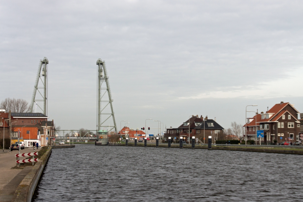
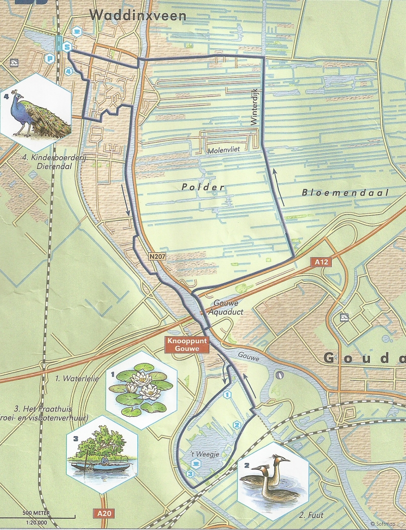
| Sunday, 23 February 2014,
"Weegjeroute"near Waddinxveen in the Province of South Holland,
just east of Gouda, Wandelroute book nr. 63; approximately11
kilometers. Easy hike, but to be honest the intial part which takes you more or less along the river (canal) Gouwe is a bit boring... Luckely after passing the aquaduct over the highway A12 the route becomes more interesting... circling ''Weegje' and back north through the polder Bloemendaal. Too bad about the ever present noise of the highway... 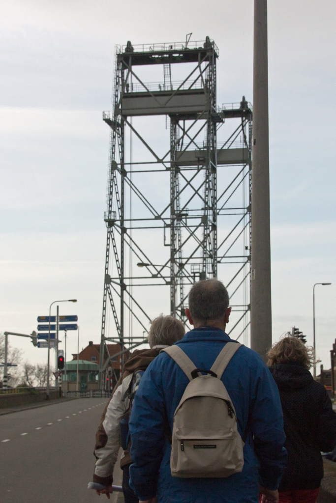 |
 |
|||||
 |
||||||
 |
 |
 |
 |
|||
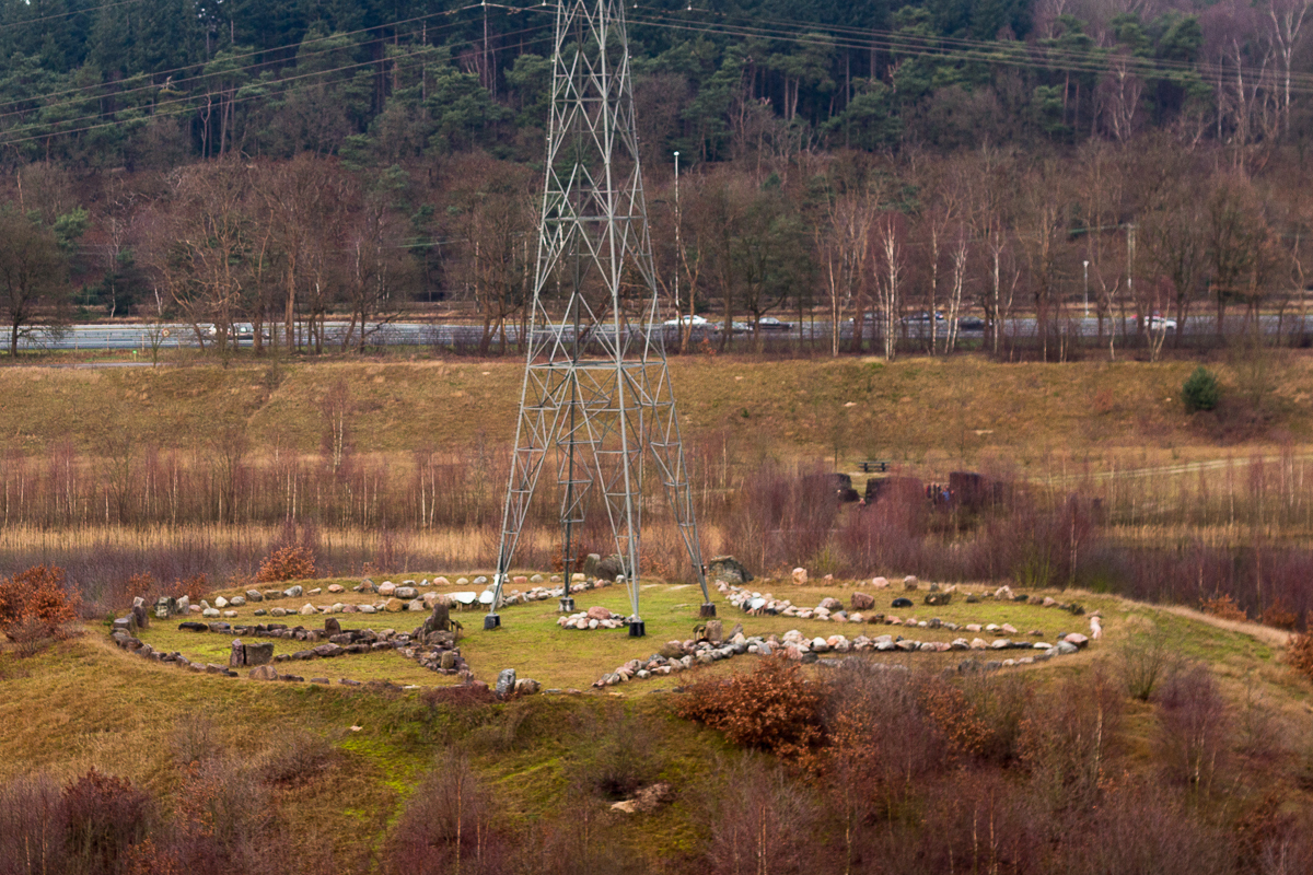
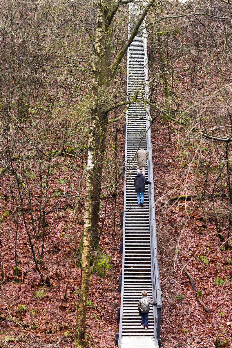
| Thursday 26 December 2013, earth
monument "de
Zanderij" near Maarn in the Province of Utrecht,
just east of Utrecht, improvised route; approx 5 kilometres. Easy hike, but prepare to descend/ascend using a small earth/wooden stair of - in the south west corner - a very long and steep aluminium stair to get to/from this former sand quarry. Millions of people will have seen this surprising area travelling on the highway (A12) from the west towards Germany. The hike is relatively short but varied however the most interesting topic is the geological history which has been preserved in this place represented by an Earth monument. The monument itself is accessible only for guided tours but there are excellent viewing points and informative signposts along the route. |
 |
|||||
 |
 |
 |
||||
| Sunday 20 October 2013, Pijnenburg and
other estates near Soest in the Province of Utrecht, north-east
of Utrecht, improvised route; 10 kilometres. Easy hike, but varied hike. Busy area in the weekends and holidays... lots of MTB, horse riders etc. etc. Nevertheless nice area for a Sunday afternoon hike. Close to the (old) Royal Palace of Soestdijk and near the residence of the (retired) Queen Beatrix. Hardly any signposts so your on your own for navigation... In case you use our GPS track as a reference; try to avoid the part next to the busy N234. Not difficult if you make a left-turn in time... The GPS track is available HERE |
 |
|||||
 |
 |
 |
||||
| Monday 7 October 2013, Leersumsche
plassen (previously 7 November 2004) in the Province of Utrecht,
east of Utrecht, improvised route; 10 kilometres. Easy hike, but varied hike. Forest, more, small lakes, 'wild' cows... Note that some parts of this particular route are off limits during the (bird) breeding season in the summer. Easy to circumnavigate if applicable. The area can be rather crowded during summer holidays and weekends so avoid these periods whenever possible. Route starts a the visitors center (limited opening times) where maps and signpost provide alternative routes in this area. The GPS track is available HERE |
 |
|||||
 |
 |
 |
 |
|||
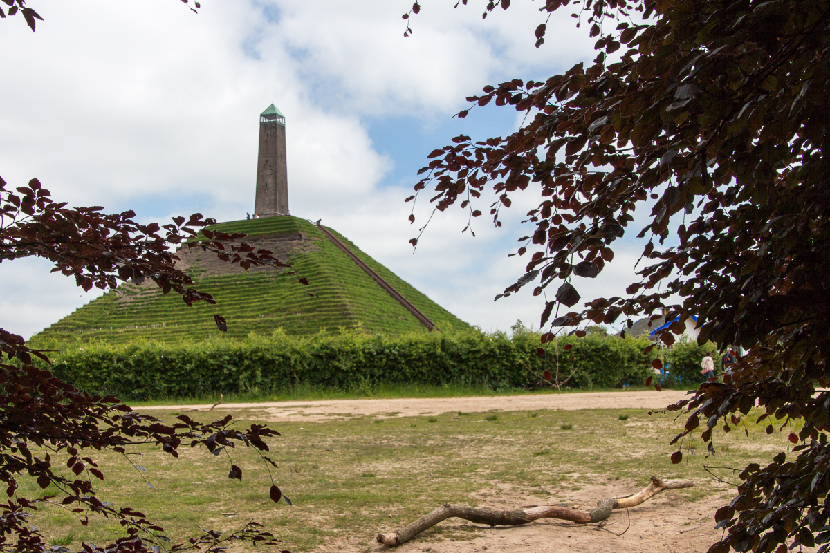
| Sunday 9 June 2013, Austerlitz in the
Province of Utrecht, east of Utrecht, combining various hikes in
this area as published in the AD Reiswereld 19 December 2009;
11.4 kilometres. Easy hike, starting at the town square ('Dorpsplein') of the Austerlitz village. Initally a bit dull, but gets more varied along the way. The obvious highlight is the famous and by now notorious for its recurrant renovation costs; the Pyramid of Austerlitz. Surrected to avoid the troops of Napoleon getting bored in the Dutch woods... The GPS track is available HERE |
 |
|||||
 |
 |
 |
 |
|||
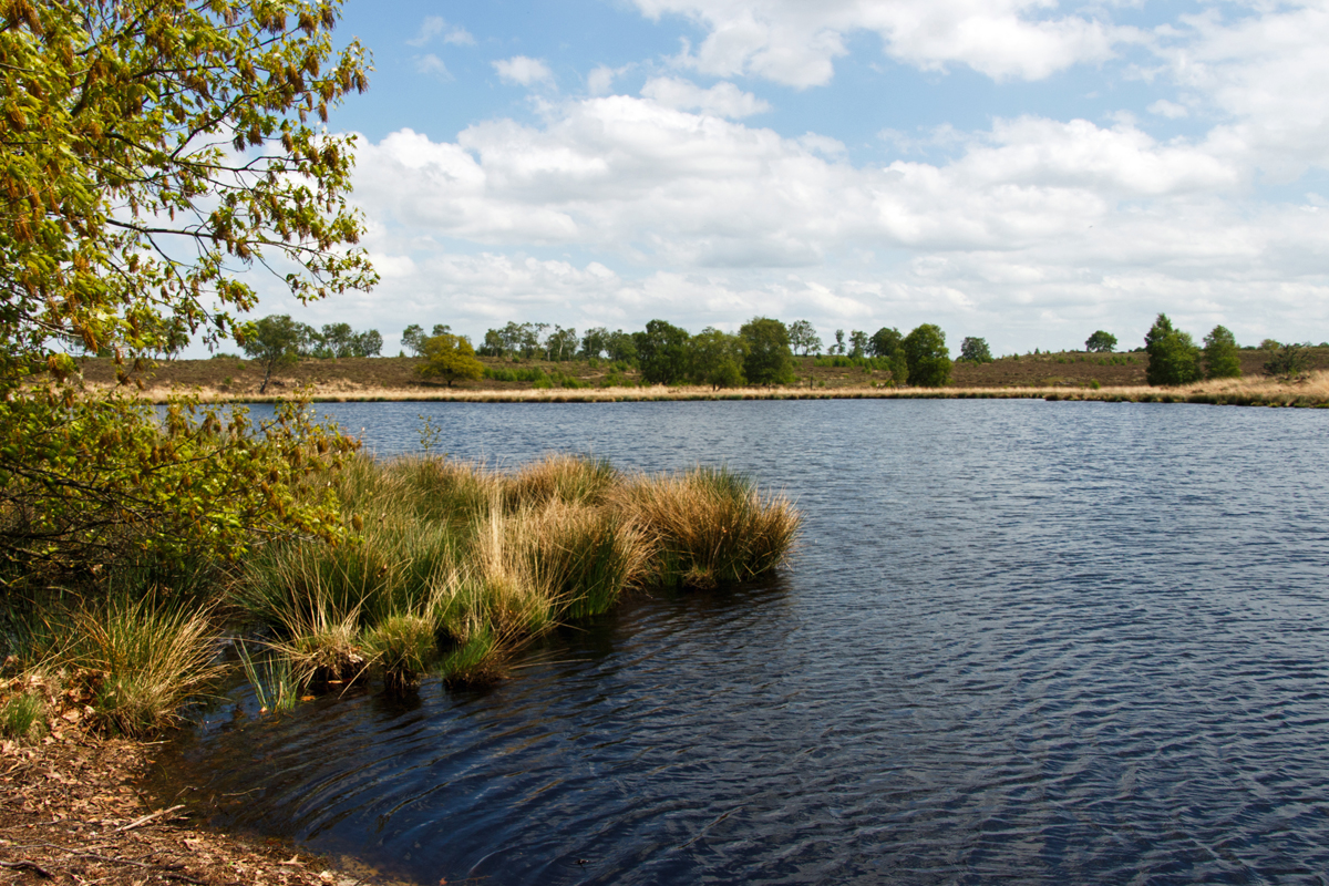
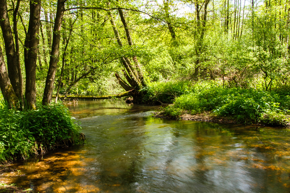
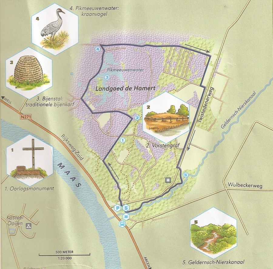
| Thursday 9 May 2013, Hamertroute, just
north of Arcen in the province of Limburg, Wandelrouteboek route
91; 5.5 kilometres (6 according to the book). Great, varied and easy hike. Offers some accidented terrein, great views and is well marked. Typical for this area; open forest (it's an old estate), sanddunes, and large fens like the Pikmeeeuwenmeer.... and an old canal (18th century) which is now a beautiful meandering stream (Geldernsch - Nierscanal). Lots of wildlife and considering all the birdwatchers we met; great area to spot common and even the occasional rare bird. The abundant moor/heath which is now cherised by the local nature preservation organisation, an ancient gravehill ("Vorstengraf") as well as a sober momument remembering WWII casualities complete this summary; this hike is therefore strongly recommended. The GPS track is available HERE |
 |
|||||
 |
 |
 |
 |
|||
| Sunday 5 May 2013, more or less the
"Bergerbos route" (now replaced by the "Broedersbos route"),
east of Boxmeer near Afferden): Wandelrouteboek route 90;
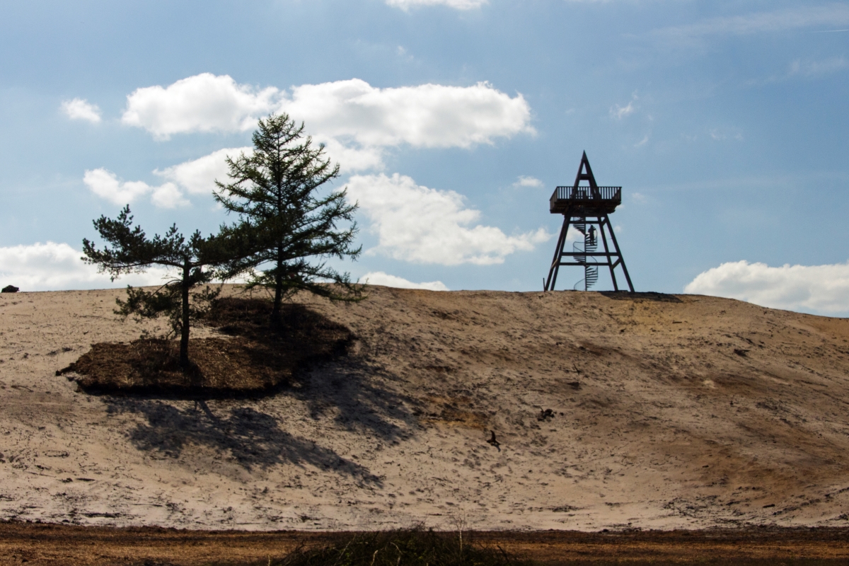
5 kilometres. Combined with the "Ullingse bergenroute" below which is in the same area both hikes provide you with 12 enjoyable kilometres in total. Like is 'peer hike' 10km to the west a varied and easy trail. This area is redeveloped as 'natural sight', new, well marked hikes are being made available (we used the blue signposts). Although there are similarities with the "Ullingse bergenroute" (forest, sanddunes) this hike takes you through lightly accidented terrain, there are more and large fens and there is very nice observations tower which - on a clear day - offers you some great views! The GPS track is available HERE |
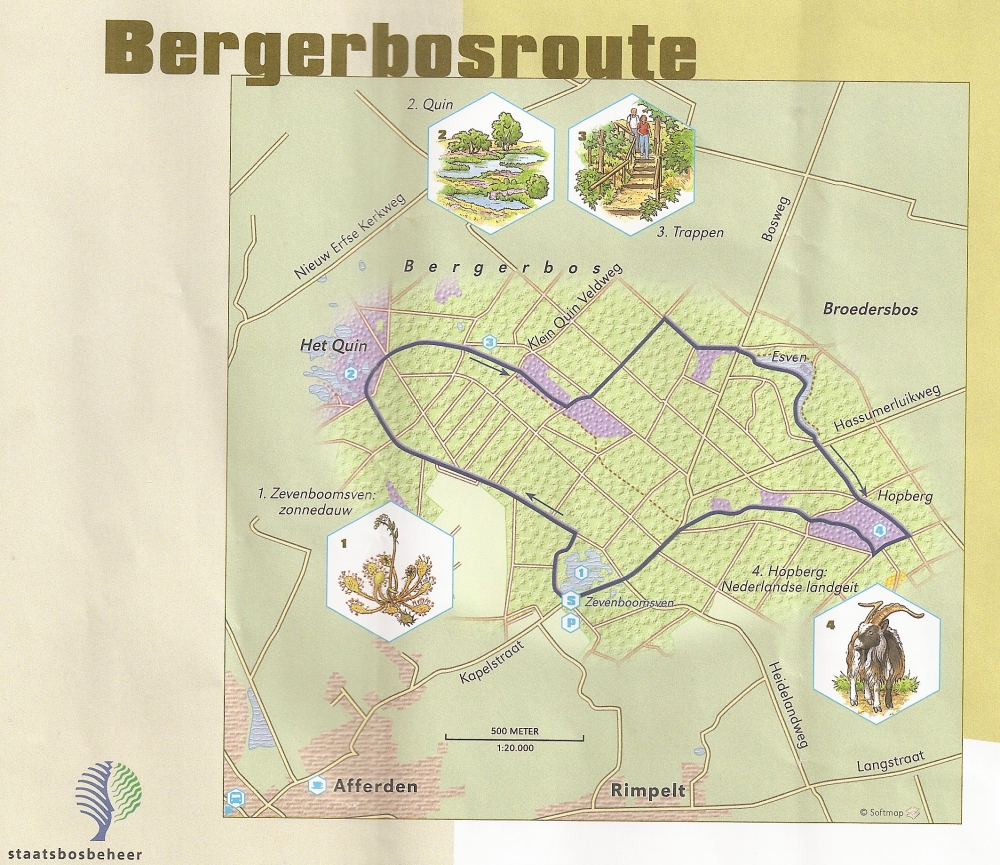 |
|||||
 |
 |
 |
||||
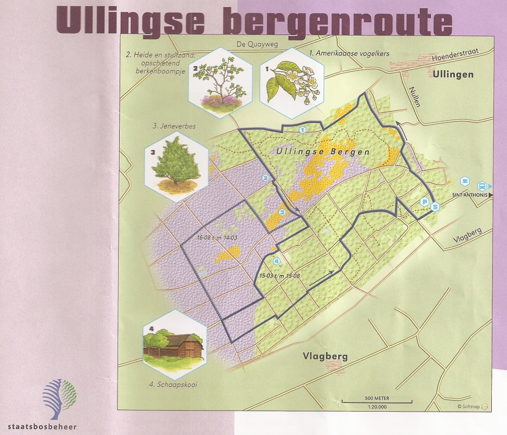
| Sunday 5 May 2013, the "Ullingse
bergenroute" St.Anthonis (southwest of Boxmeer):
Wandelrouteboek route 88; 7 kilometres... Nice, varied trail, easy going; we combined it with the nearby hike above (Bergerbos near Afferden). Originally a 'production forest' but now being developed as 'nature'. Combined with the sanddunes, the ancient (now dry) riverbank as well as the heath it is becoming 'a sight to see'... The relatively rare Juniper and the sheepfold complete a pittoresk picture and provide for a relaxing and interesting hike... The GPS track is available HERE |
 |
|||||
 |
 |
 |
||||
| Saturday 20 April 2013, the "Keikberg"
route near Plasmolen in the province of 'Gelderland':
Wandelrouteboek route 89; 6 kilometers.. (St. Jansberg) The description was promising.... 'non-Dutch beautiful scenery'... turned out to be the truth... very accidented trail (climb and descent) with great views... Well marked and no tarmac... Make sure to have a look at the watermill "Bovenste Plasmolen" and visit the reconstruction site of the Roman Villa.. (both near the start of the hike north of the village of Plasmolen...) If you like you can extend the hike by approximately 5 km in the North across the Mokerhei. Well marked; you are offerd the choice somewhere halfway this hike... And yes... we spotted a Kingfisher (IJsvogel in Dutch) The GPS track is available HERE |
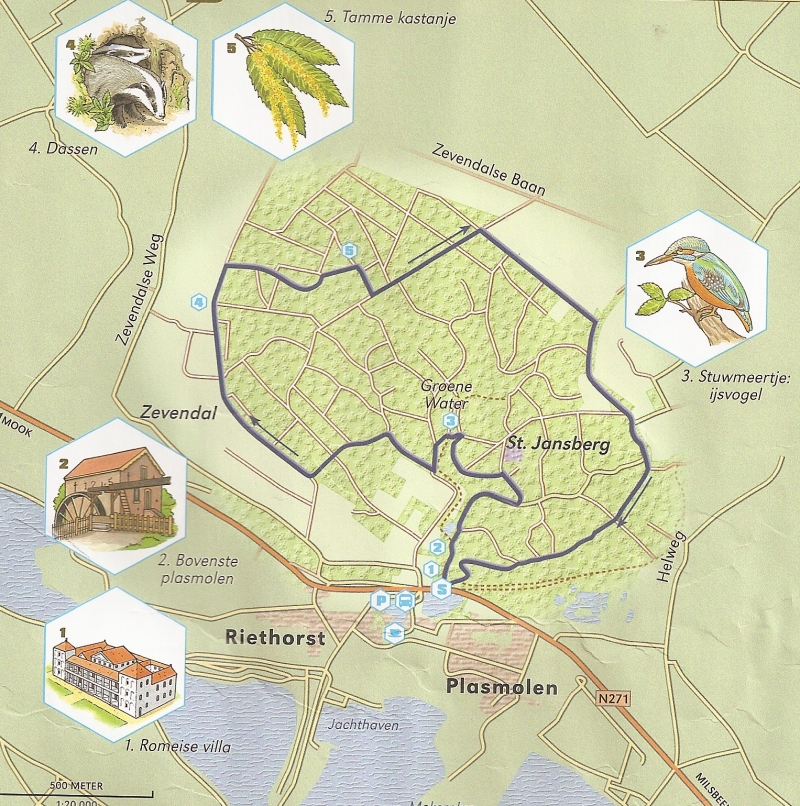 |
|||||
 |
|
 |
||||
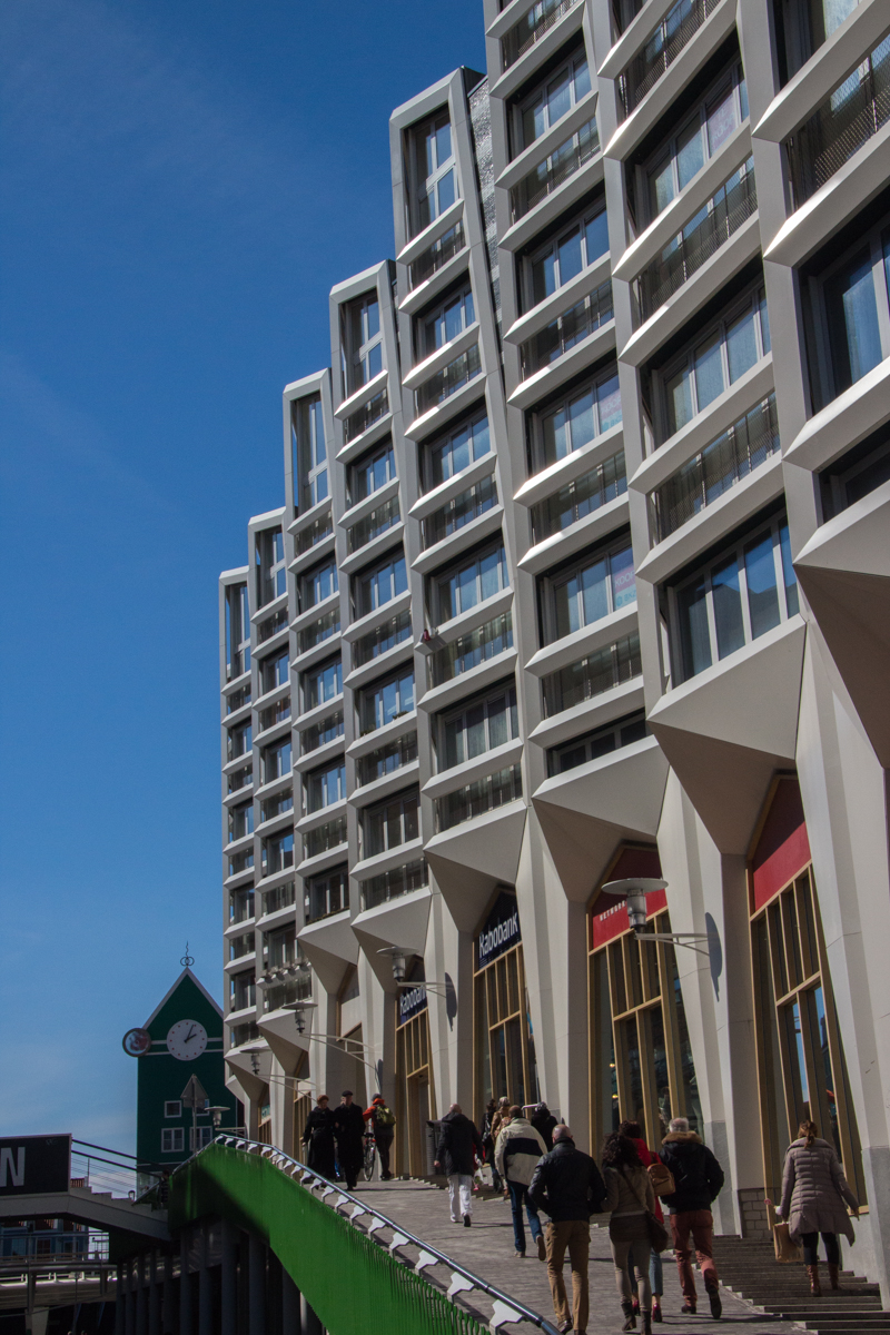
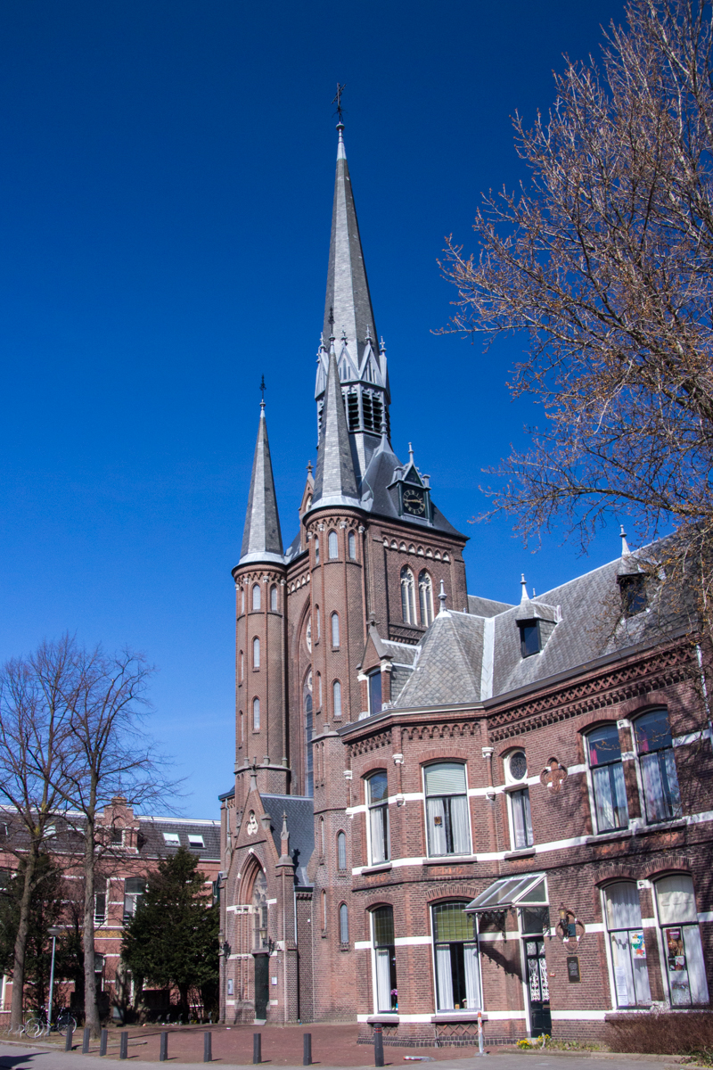
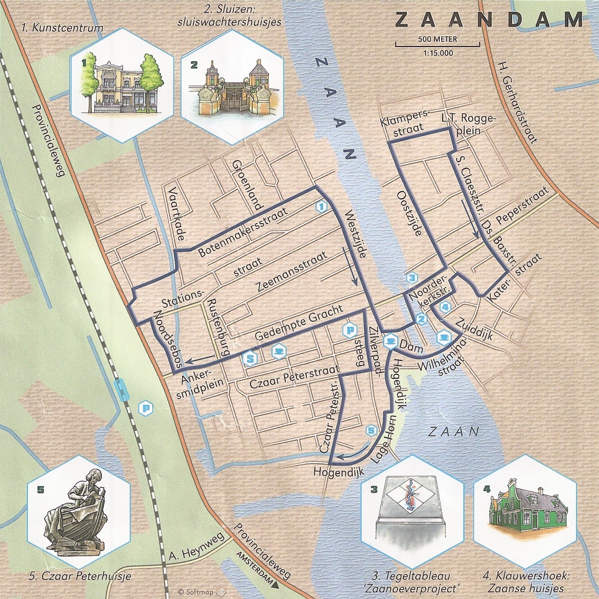
| Monday 1 April 2013, the "Czaar Peter"
route in Zaanstad (Zaamdam) in the province of 'North Holland':
Wandelrouteboek route 54;'less than 6 kilometers.. Easy (Easter) afternoon city-walk/stroll through a very Dutch scenery.. Zaanstad is still proud of the visit of Czaar Peter in 1697 and the ancient shipyard industry... Most of that is gone, but they have succeeded in mixing the old and new architecture in a remarkable way.. Worth visiting and taking some spectacular pictures and then head back to Amsterdam and Utrecht for more 'things to do' and (historical) sights to see... |
 |
|||||
 |
 |
 |
||||
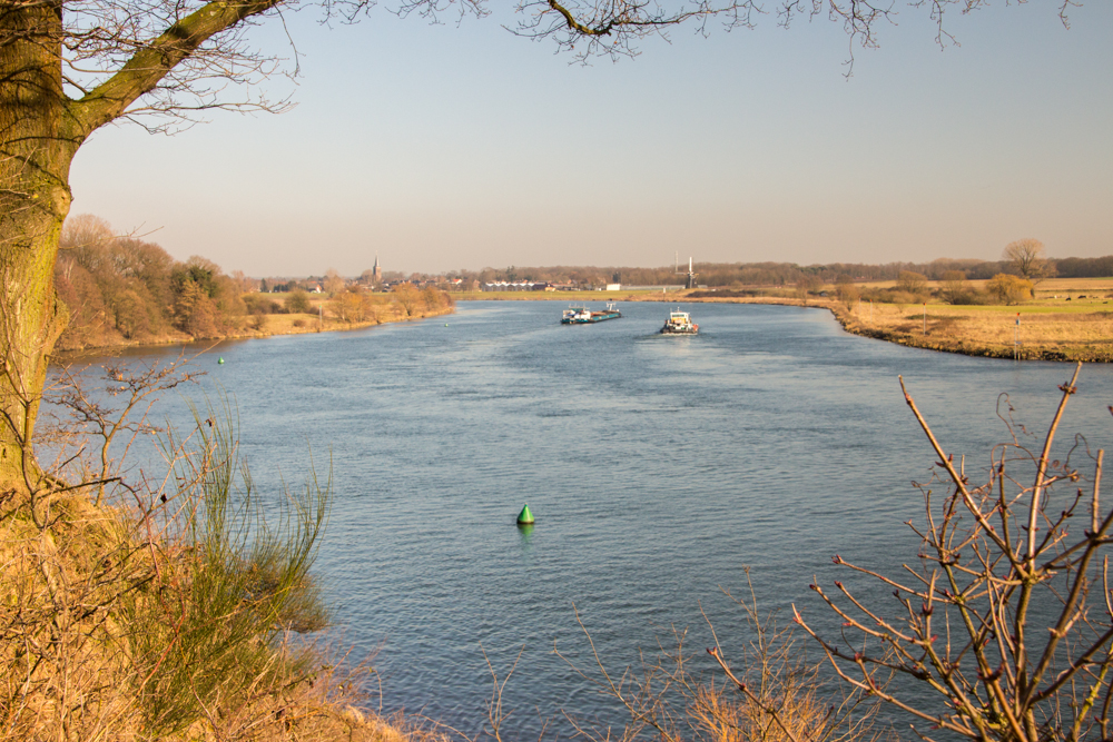
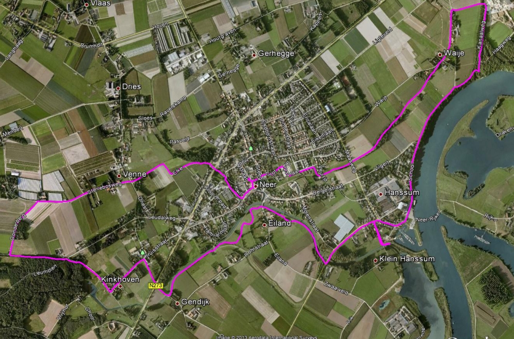
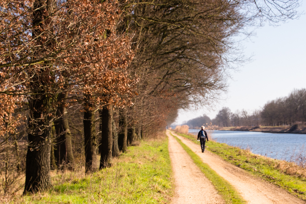
| Tuesday 5 |March, based on the Kwir-
en Hanssumroute near Neer in the province of Limburg;
wandelrouteboek route 94, 11 km. Nice and varied track, can be muddy and slippery. Based on the original route we improvised a bit using the GPS and the 'numbered nodes' ('knooppunten netwerk'). The trip takes you from Neer (L) via Kinkhoven and Hanssum back tot Neer. Like everywhere in this area, many small chapels along the way and apart from that some great initiatives to control the rivers and streams in this area (it experienced a lot of flooding) resulting in interesting waterworks but also reintroducing some environmental friendly solutions... The track along the Maas provide you with some great views! The GPS track is available HERE |
 |
|||||
 |
 |
 |
||||
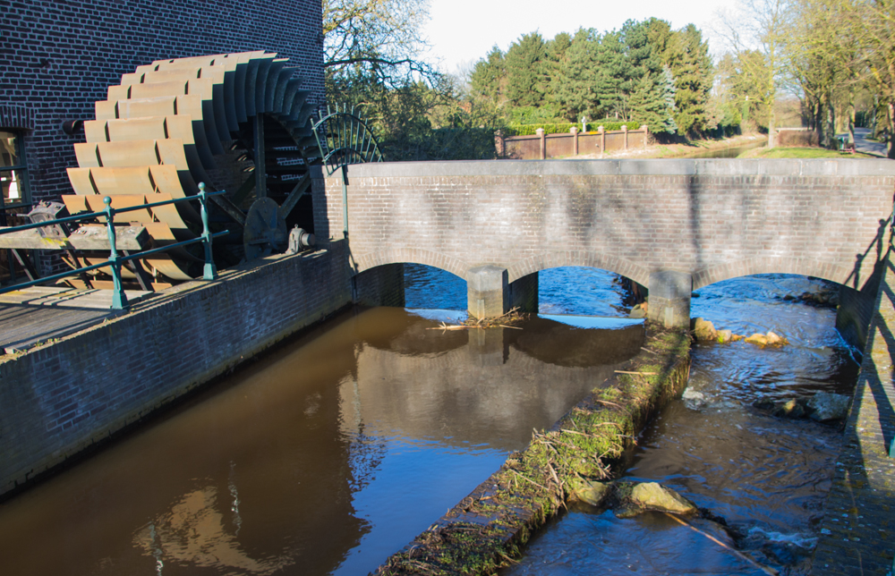
| Monday 4 March 2013, based on the
Kastelen- en Grathemerroute near Grathem in the province of
Limburg; wandelrouteboek route 95, 9.1 kilometers. Easy walk, first part of the route refers to 'castles' and some - not too impressive - can be seen from some distance. An exception is the beautifully restored castle Groot Bruggenum but in summertime this might be invisible as well due to surrounding trees... The trip takes you along the straight canal Wessem - Nederweert where the noise of the busy highway A2 is very present... All in all not very impressive although halfway you encounter a special earthwork where the Uffelse beek is led under (!) the canal to cross it... When you passed the Grathemer Molen (Mill) in the village, with its iron (!) wheel, you can follow the signs for the 'Puinebr�k ommetje' a reinstated local walk... Note the outdoor artwork you pass along the walk, just before returning to Grathem. The GPS track is available HERE |
 |
|||||
 |
 |
 |
 |
|||
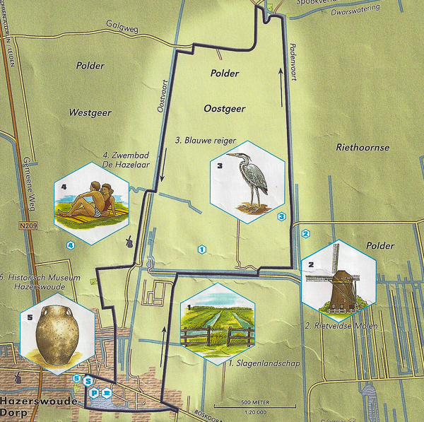
| Sunday 13
January 2013, the "Oostgeer" route near Hazerswoude Dorp in the
province of 'Zuid Holland': Wandelrouteboek route 62; 8
kilometers, GPS showed 7.1 km... Easy Sunday afternoon stroll through a very Dutch (winter) scenery, windmills and canals included... This area - most of it well below sealevel - was made inhabitbale in the 11th century, hence the many waterways to manage the waterlevel... Apart from that... not much to tell... The GPS track is available HERE |
 |
|||||
 |
 |
 |
||||
| Tuesday
1
January 2013, the "Rottige Meente" route near Nijetrijne in the
province of Friesland: Wandelrouteboek route 1; 8.3 kilometers. Nice and interesting hike, both from a historical and nature/wildlife perspective... However... make sure bring good, waterproof boots as this track takes your through the reserve which got his name because the ground was so wet that nothing (culture) could be grown there... An area where peat stabbing was and still is shaping the landscape... Lots of variety in the landscape, best part to keep your feet dry is probably the north western circle (shell path). might be reached directly from the village of Munnekeburen. According to the signposts there are more routes in this areas, ranging from 3 km up to 15 km... Recommended... The GPS track is available HERE |
 |
|||||
 |
 |
 |
||||
Sunday 30 December 2012; Hollandse Houtroute in the new land of the 'Flevopolder' near Lelystad. Nothing official; just improvised 8.2 km according to our GPS. Easy - but possibly muddy - trails just south of Lelystad in the reclaimed land of the IJsselmeer / Zuiderzee. Typical production forest, now managed with a bit of 'let nature take its course attitude. Bit like the neighbouring Oostvaarderplassen which are much 'wilder', however major parts there are closed for the public... The Holllandse Hout area however gives you ample opportunities to wander around freely, as many trails provide you with a lot of alternatives.... The GPS track is available HERE (please note that this track includes some trails off limits for dogs...) |
 |
|||||
 |
 |
 |
||||
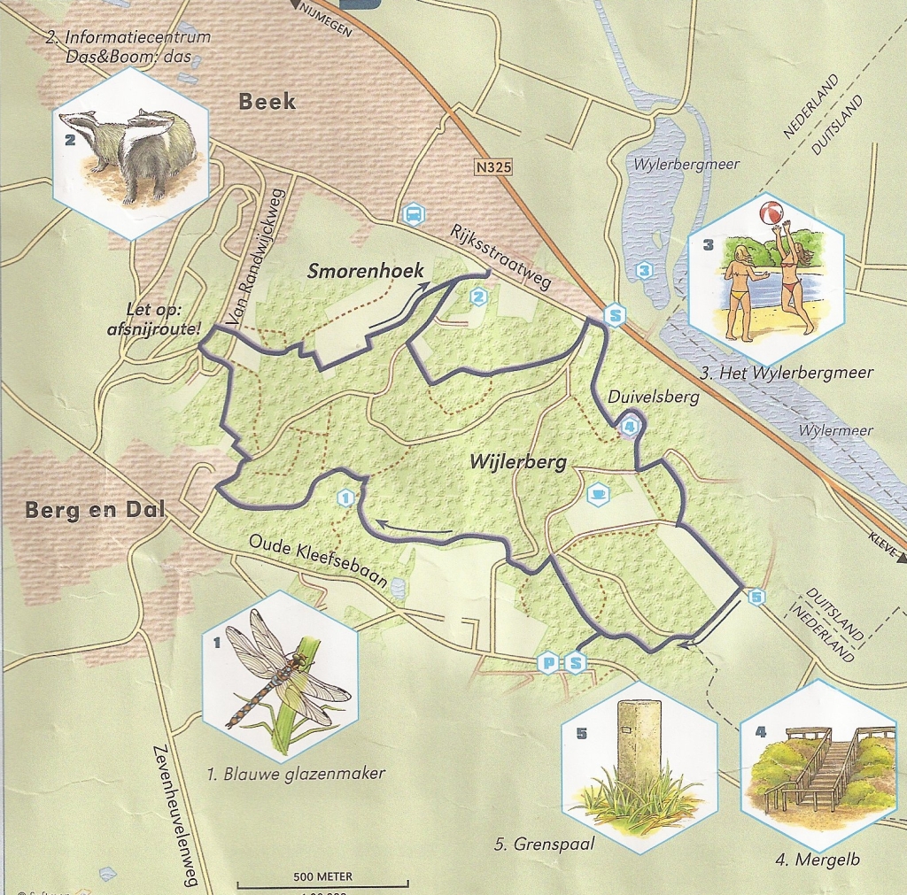
| Thursday
31 October 2012; Duivelsbergroute ("Devils'Mountain route) in
Berg en Dal, in the east of the Netherlands, just touching the
border with Germany; 'wandelboek' route 40, 9 km according to
the book, our GPS told us 7.4 km. A very uncharacteristic hike for the Netherlands, considering the height of the hills and the steep climbs. Situated just west of the German city of Kleve this is indeed an interesting walk. Prepare for some steep climbs and descents and proper footwear is recommended. Note that you can extend the hike up to 18 km by following the green signposts, promising some spectacular views. Definitely recommended, especially if you want to escape the flat landscapes of the Netherlands or get some practice before you really go up to serious hills and mountains. \ The GPS track is available HERE |
 |
|||||
 |
||||||
 |
 |
 |
 |
|||
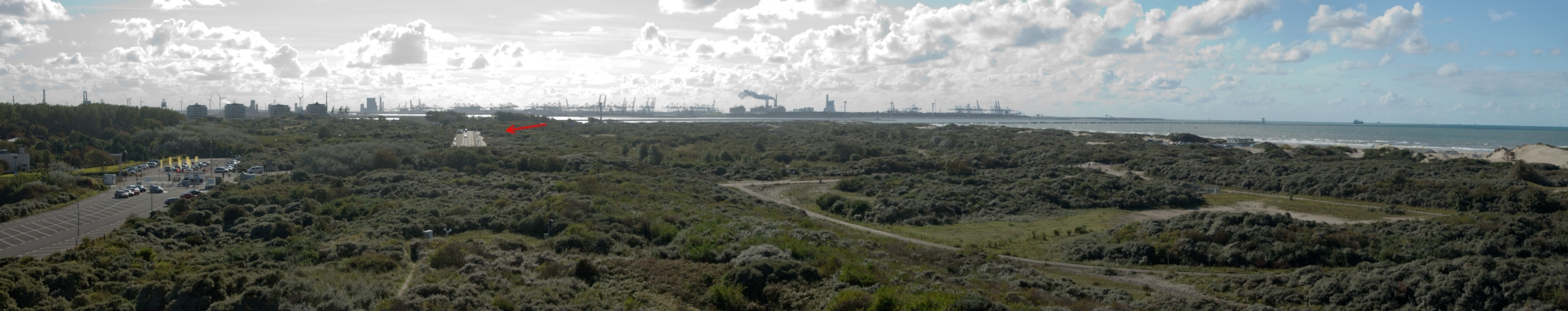
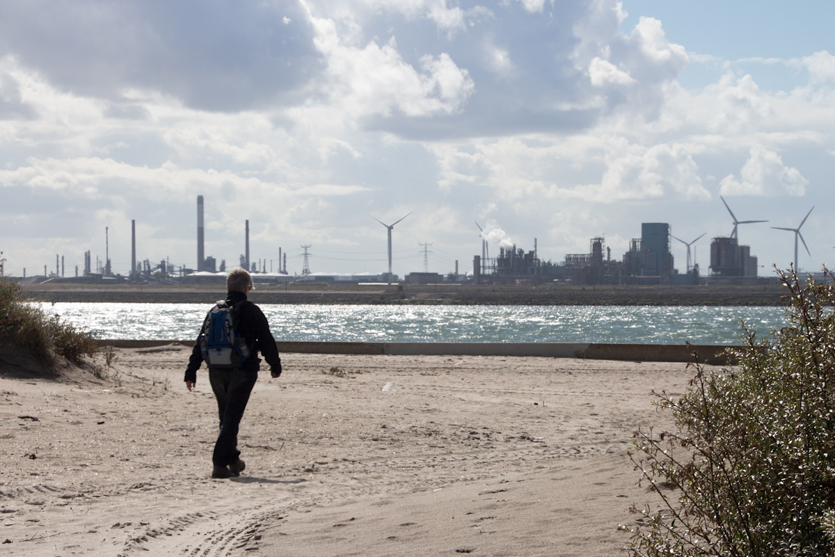
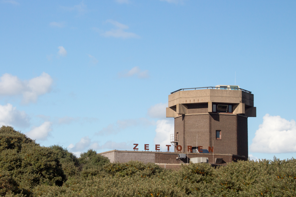
| Saturday
22 September 2012; free format hike near Hoek van Holland
inspired by the Hollands Kustpad LAW (Dutch Coast Trail),
12 kilometers. An interesting mix of nature, leisure, transport and industry hiking the beach and dunes. From all points of view an extremely dynamic area... The trail takes you from the parking in Hoek van Holland ('Hook') to the long pier, beach, dunes and back to the parking (and Atlantik Wall museum and Rescue museum). Condition of the trail obviously varies with the weather... The same applies for the number of people visiting. Looking at the huge parking places it's probably very crowded on a sunny day in summer... A visit to the Zeetoren ('Sea tower'), especially with nice weather is recommended. Guides are (often) there to tell you about the interesting history of the tower and the natural surroundings! Please note the panoramic view (to the south) from the tower. Until the 1970's the sea came up to area marked with the red arrow (old seapromenade, now carpark) and with a dotted line in the map on the right. All the 'nature' in that area was the result of sand replenishment ('Van Dixhoorn driehoek') and to just let nature take its course from there on! From the tower you have a magnificant view at Delft, Rotterdam, The Hague and a new, innovative project 'De Zandmotor' (the Sand engine) to protect the Dutch coast against the elements. The GPS track is available HERE. |
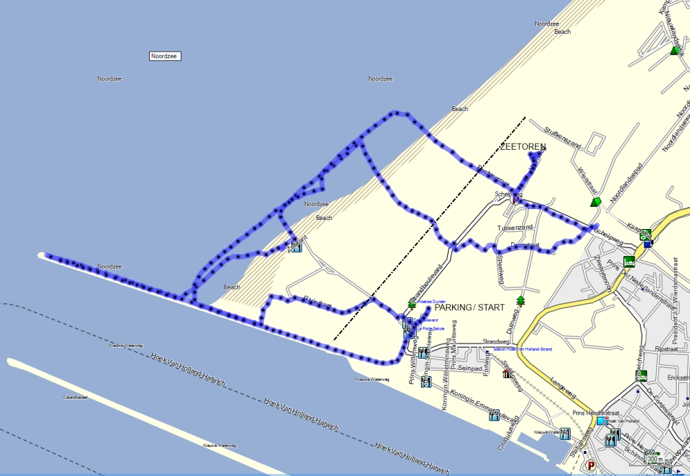 |
|||||
| |
||||||
 |
 |
 |
 |
|||
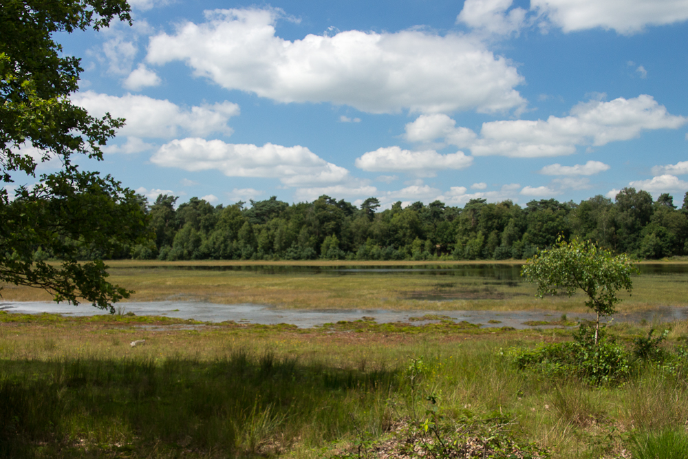
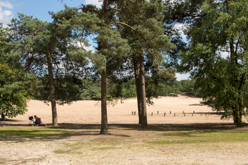
| Sunday 22
July 2012 the "Herperduinroute" near Oss in the province of
Brabant. Wandelboek route 87, 11 kilometers. Easy hike, through relatively open forest, wide paths. Providing you with a landscape representative for this province; forest, moor, fen and (small) sand dunes... To be honest all these are packed in the last 3 kilometers (counterclockwise) and the initial part is not too interesting. So enjoy the 'exercise', have a look at the Exmoor pony's and Scottish Highlanders on your way to the 'Groot Ganzenven', Klompven and finally 'Herperduin'. Note that various parts of the track follow the (busy) routes for cyclist and prepare to meet some dogs... Everybody in Brabant seems to 'exercise' his dog in this area... The GPS track is available HERE, in real life look at the route description near the parking and intermittently switch between the white and red signposts. |
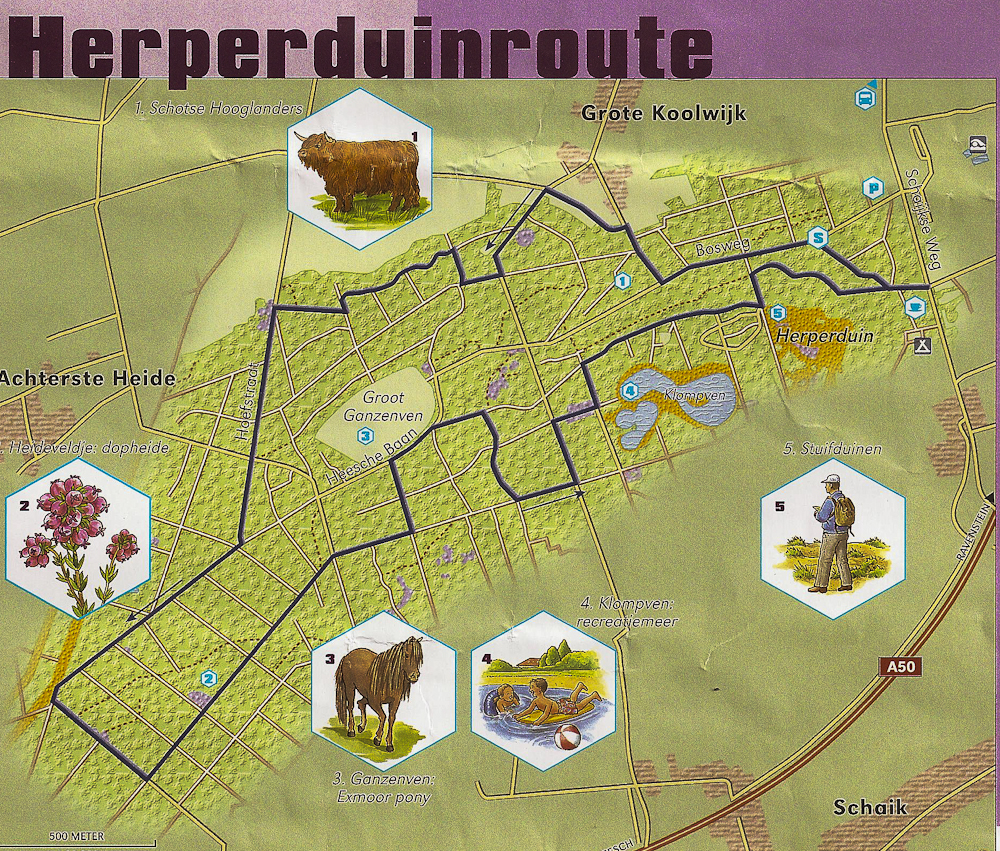 |
|||||
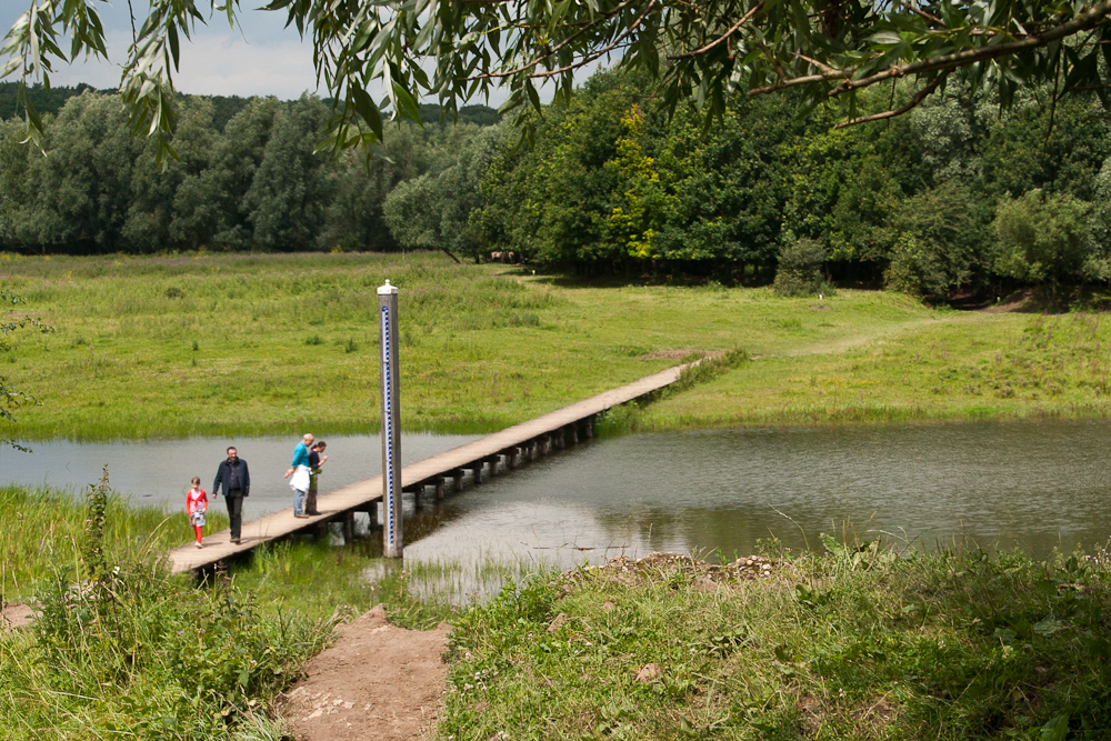 |
 |
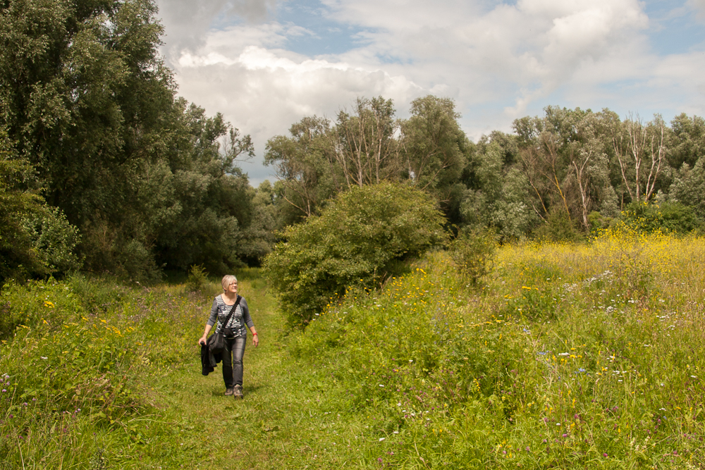 |
||||
| Sunday 15
July 2012 "De Blauwe Kamer (Blue Room) near Wageningen in
the province of Gelderland, approx. 4 km; Stichting Het
Utrechts Landschap Following this years' trips in Scotland and Iceland we decided to have a look close by again... In 1992 parts of the dike protecting the landscape along the river Nederrijn were removed to create some new wetlands and let nature run its course. The project has been very successful, it now offers a very varied landscape which hosts an abundance of wildlife; birds in particular. All thought much of the landscape is off-limits for the general public, there are 2 walks for everyone to enjoy. Easy trail, and considering the length not a real physical challenge... however will be muddy and slippery so bring proper footwear. And make sure you bring your camera and even binoculars, especially if you're into birdwatching! No GPS track this time, this is too easy and sign posted very well! |
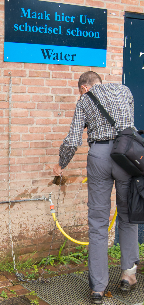 |
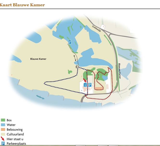 |
||||
 |
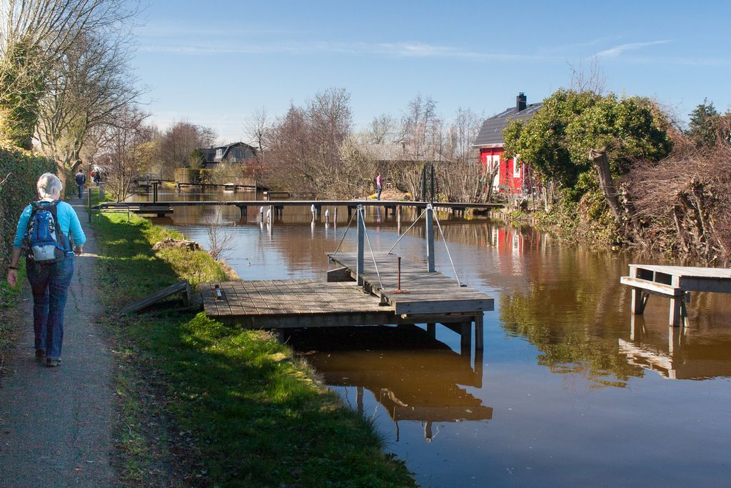 |
 |
||||
| Sunday 25
March 2012. route 94 'Wandelboek', 9 km, "Goudse
Hout-route; near Gouda (province of South-Holland/Zuid Holland) Digging out peat in the Netherlands has left the Dutch with a lot op open water... Great and very popular the live on the shores and providing an abundant wildlive, birds in particular. And very suitable for recreation as well; swimming, sailing, surfing and even hiking... Easy trail, busy on warm and sunny days but providing you with a lot of great views. The GPS track is available HERE |
 |
|||||
 |
 |
 |
||||
| Thursday
8 March 2012. route 98 'ANWB Wandelroutebox', 8 /12 km,
"Kerkrade, mix of nature and old coalmines; near Maastricht
(Limburg) Park-like scenery, a lot of wildlive thanks to the water reservoir Cranenweijer. Birds in particular but we even spottted a beaver... Some trails (mix of asphalt and mud) can be muddy and from a Dutch perspective there are even some ascents and descends. All in all an easy track; too bad about the noise of the busy highways nearby... We circled the reservoir only but you can extend the walk by entering the town of Kerkrade. The GPS track is available HERE |
 |
|||||
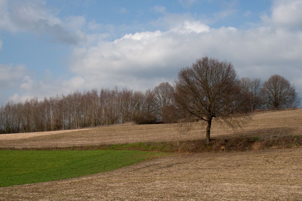 |
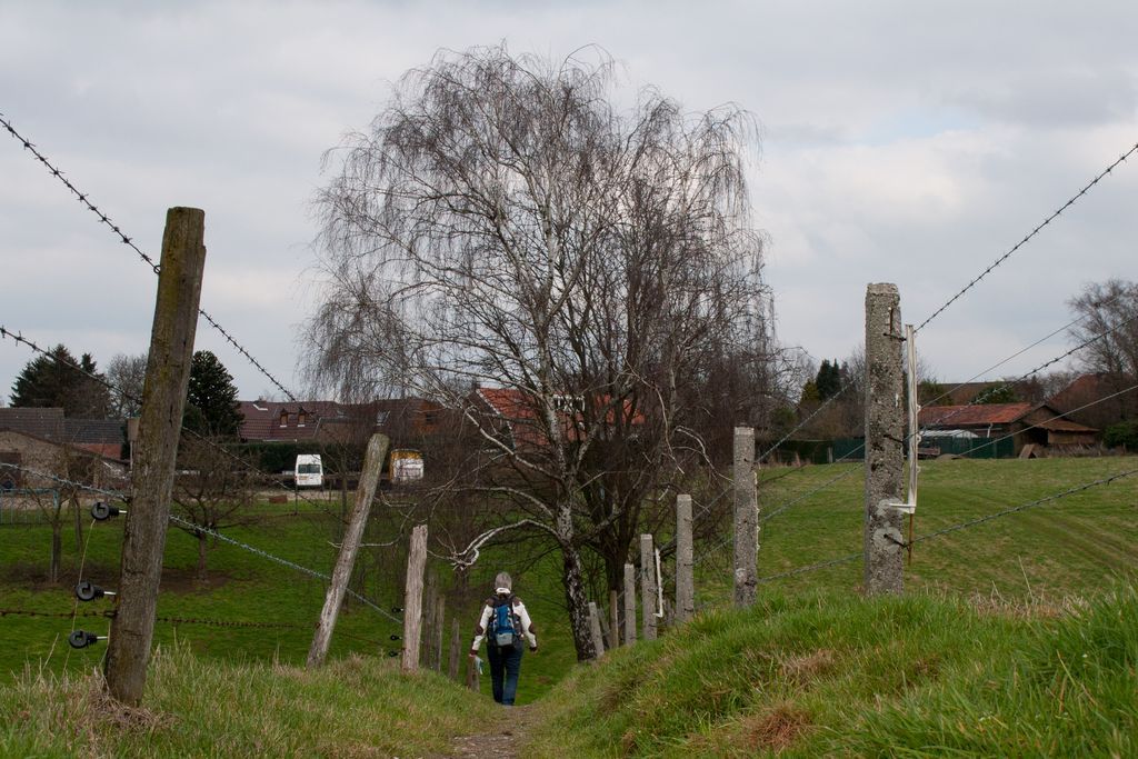 |
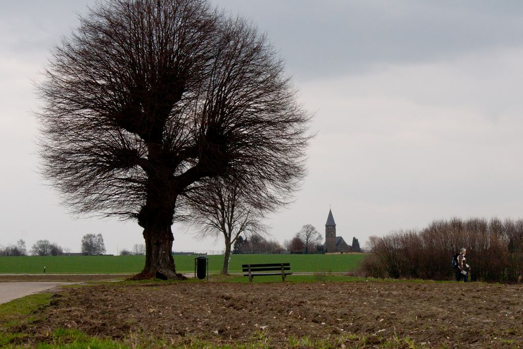 |
||||
| Tuesday 6
March 2012. route 97 'ANWB Wandelroutebox', 8 km,
"Geleen; from station to station; near Geleen, Daniken and
Sweikhuizen (Limburg) Very popular in the Netherlands; walk from station to station and take the train back to your car. Very nice and varied trail takes you from Geleen via Daniken and Sweikhuizen tot the station of Spaubeek where a train takes you back in a few minutes... Some serious ascents and decents for a Dutchman, but not too bad considering the relatively short distance. Do have a look at the visitor centre shortly after the start, located in the old but renovated stone factory. The GPS track is available HERE |
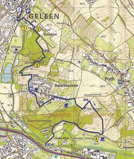 |
|||||
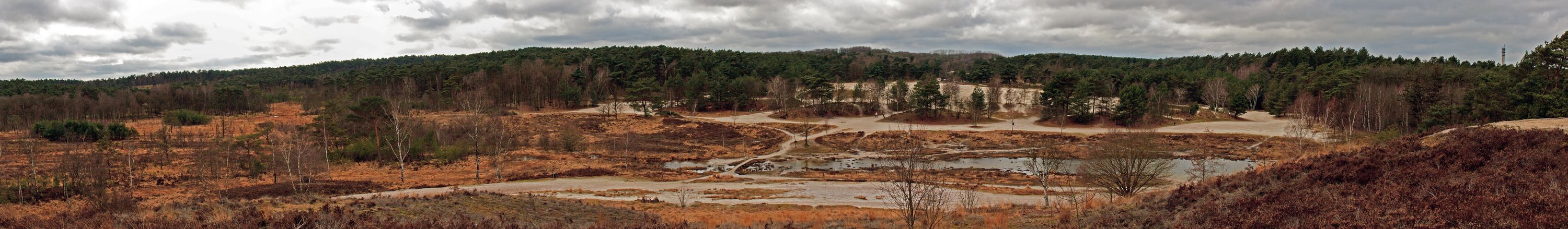 |
||||||
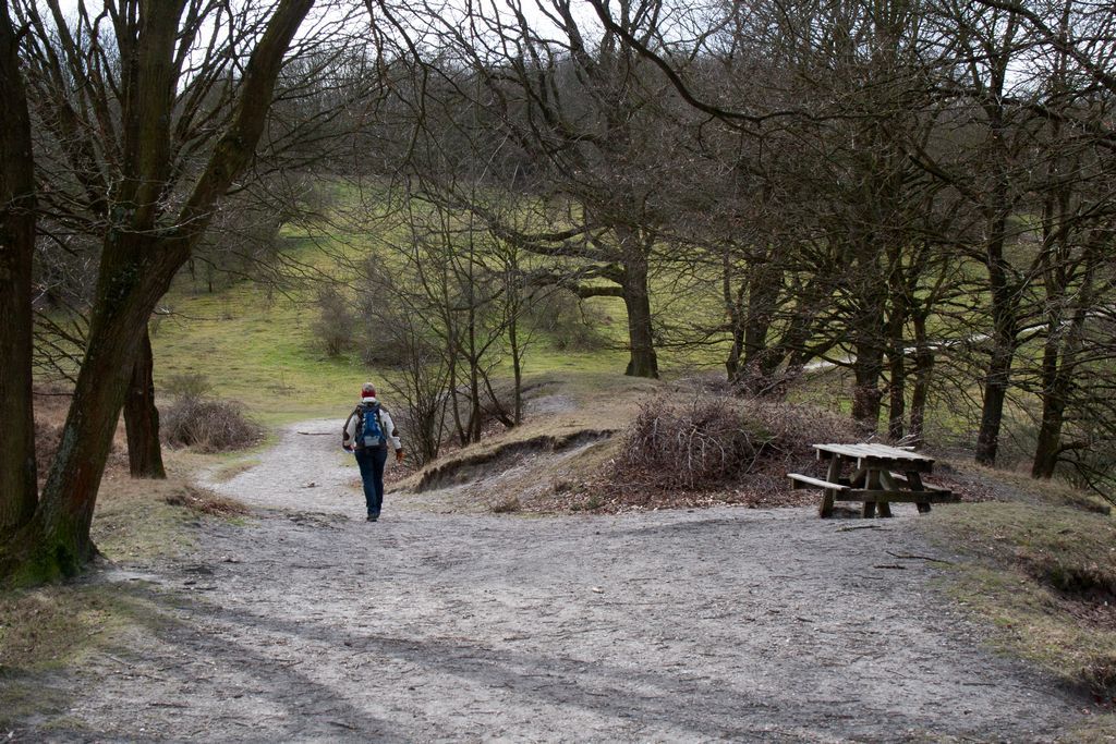 |
 |
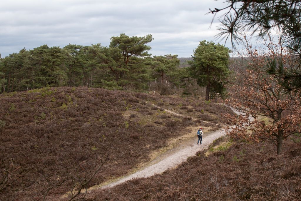 |
||||
| Monday 5
March 2012. route 97 'Wandelboek', 7 km,
"Brunsummerheide route near Heerlen (Limburg) Extremely nice walk taking you through the heath (moorland) near Heerlen. Many trails, great well equiped visitors centre with a restaurant and terras providing you with geat views. Can eb very crowded, but - as ususal - once your some distance from the parking no problem to 'be alone'... Quite an intersting area for geologists and a large 'silversand' quarry provides for a landmark that cannot be overlooked... The GPS track is available HERE |
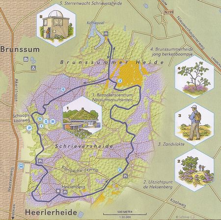 |
|||||
 |
||||||
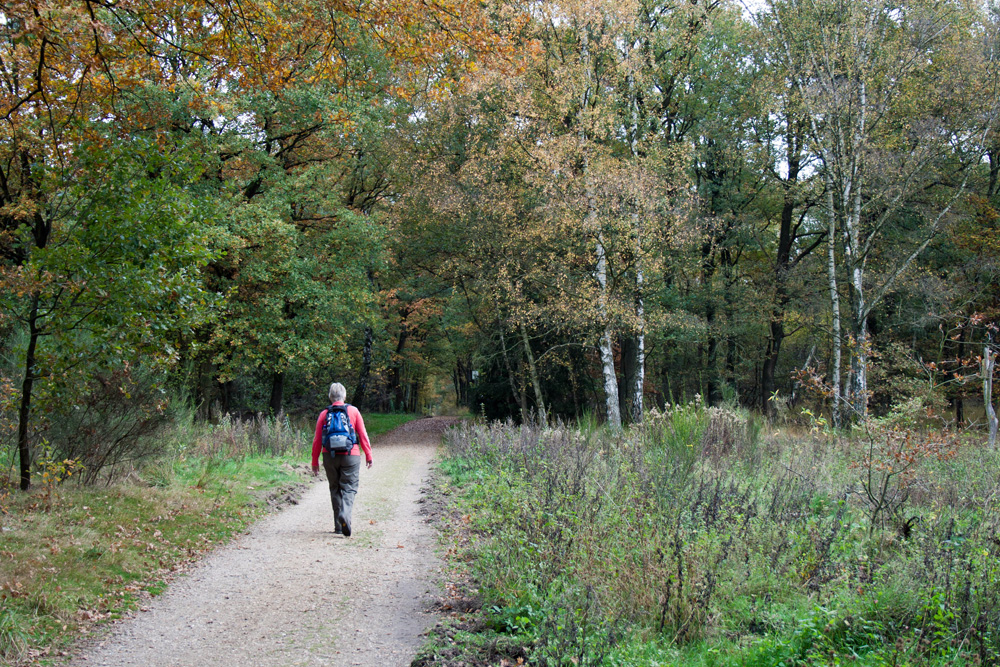 |
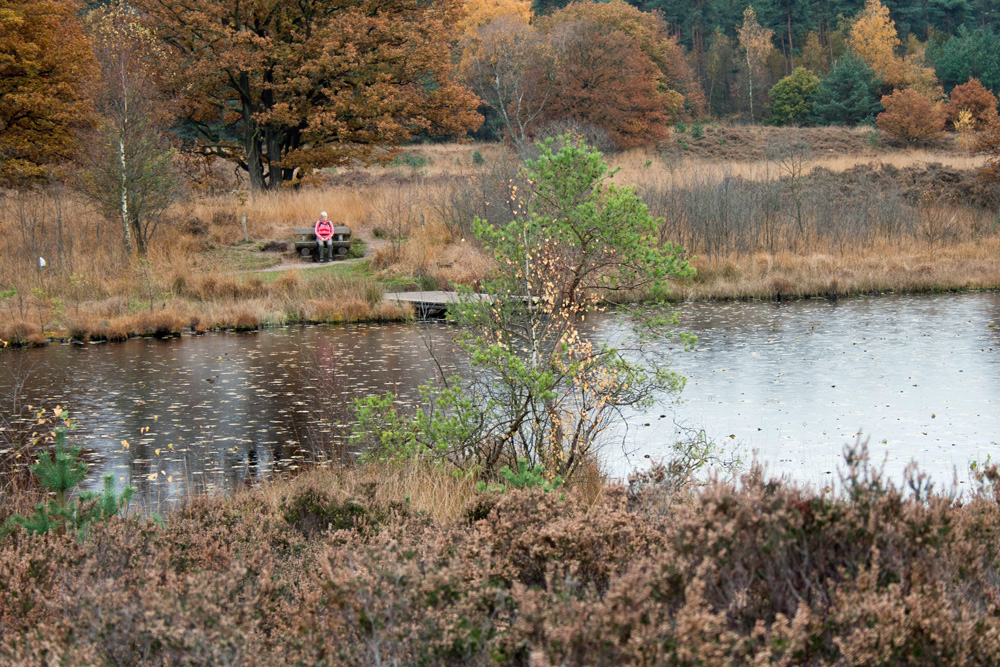 |
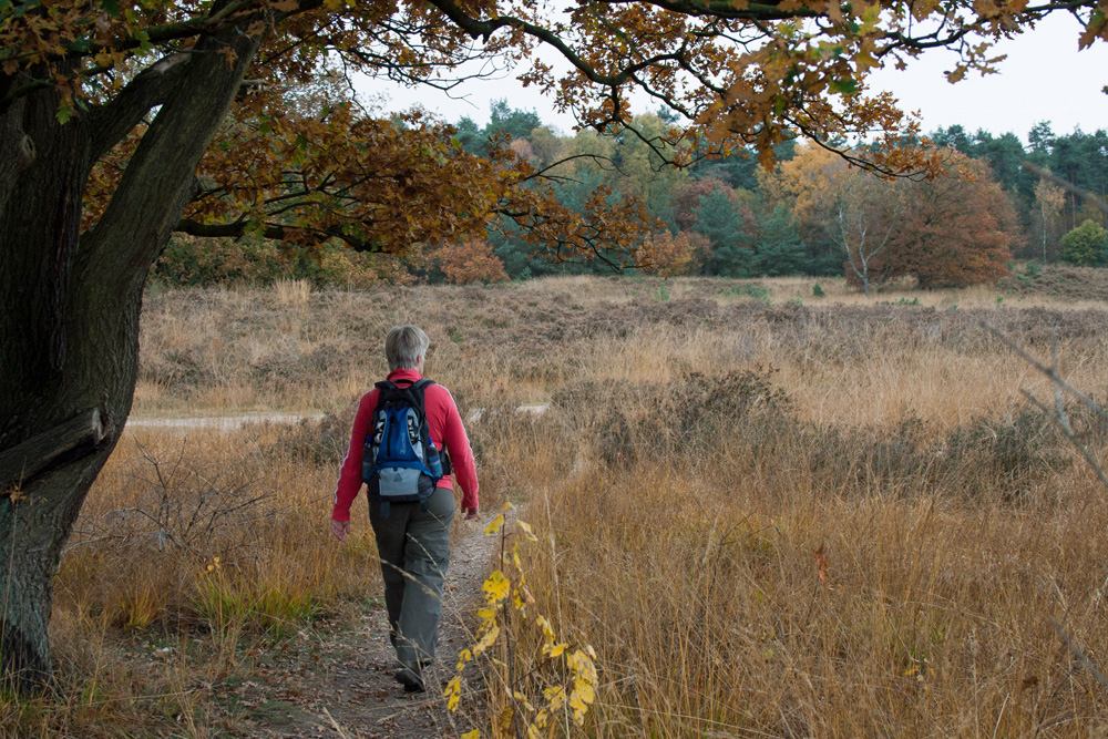 |
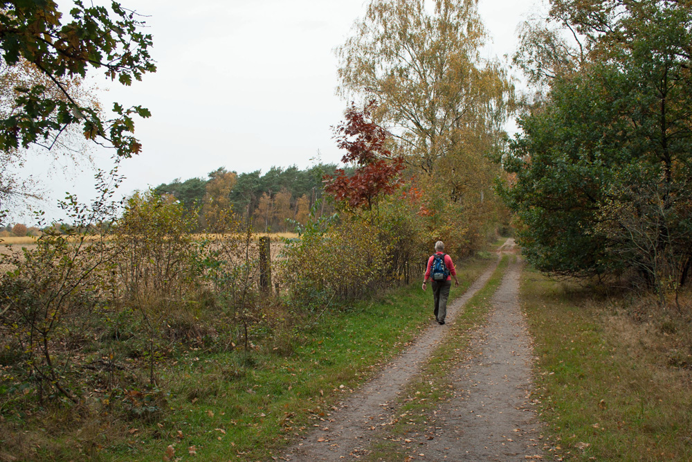 |
|||
| Thursday 3 November 2011. route
96 'Wandelboek', 9 km, "Paardengat" and
"Reeweg"routes; South of Roermond (Limburg) Started at the parking of the (closed) old railway track north east of the visitor's centre "De Meinweg" which was closed (off season) as well... Too bad, looked great from the outside... Despite some light rain, nice hike, varied terrain; forest, moors, fields and water... Geologically interesting as there runs a clearly recognizable fault through the landscape. Our GPS track is available, download (right click to download) HERE |
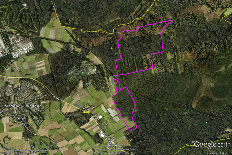 |
|||||
 |
||||||
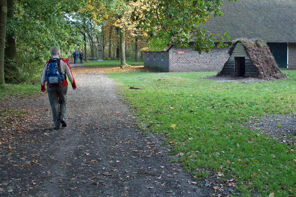 |
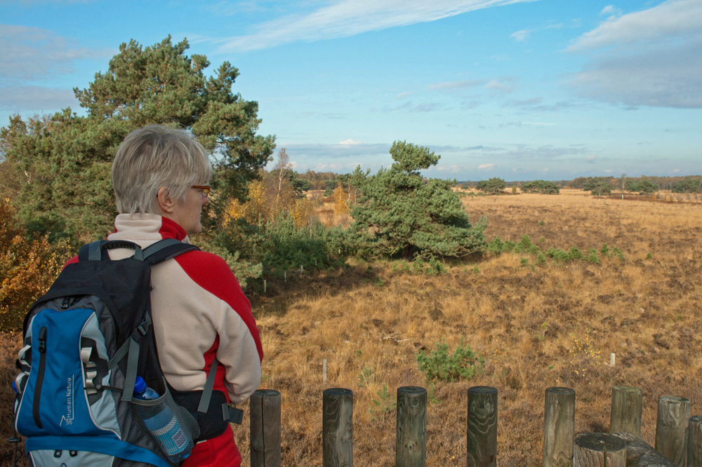 |
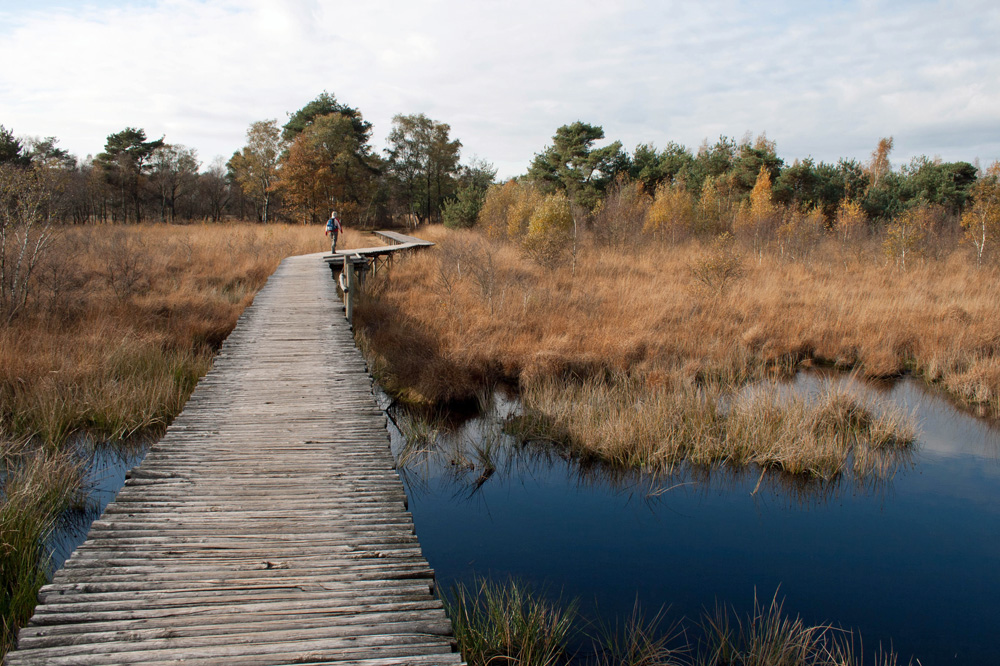 |
||||
 |
||||||
| Wednesday, 2 November 2011,
Groote Peel, Mussenbaan route (blue markings), 6 km, more info:Nationaal Park de Groote Peel Near Weert (Limburg) Short but varied hike, options for a 2 km and 3 km route as well... Beautiful sights, varied and interesting wildlife and a well equipped visitor's center.The ven "Meerbaansblaak" offers great opportunities for bird watchers! Our GPS track is available, download (right click to download) HERE |
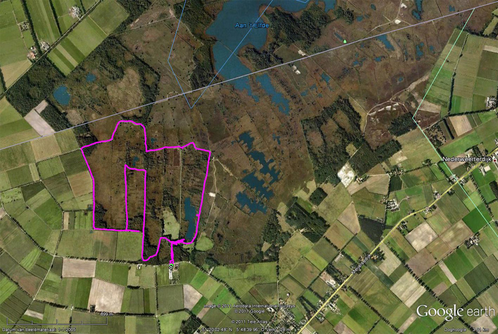 |
|||||
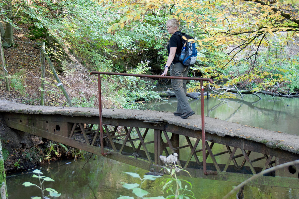 |
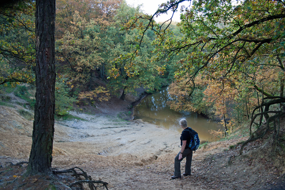 |
 |
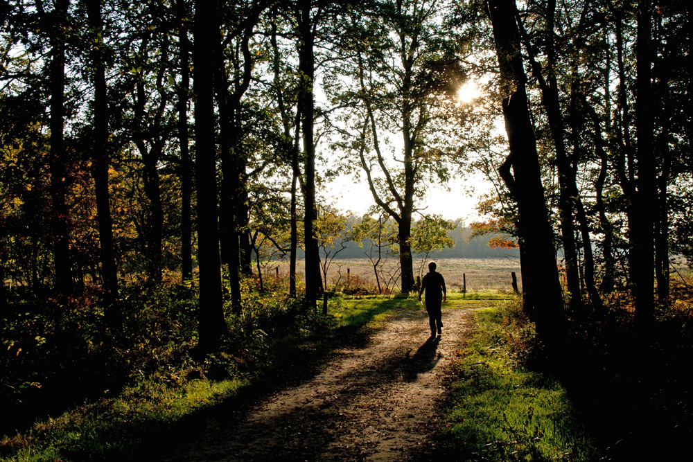 |
|||
| Monday, 31 October 2011, Leudal
route near Healen (Limburg), 18 km, based on "De Mooiste
Wandelingen in Nederland"(Capitool Wandelgidsen
www.snp.nl/capitool) Very varied hike including some small climbs and descends following old and new riverbeds... We started out on Aldenghoor castle and were surprised by an actual stone owl tower, chapels and churches (St. Servaas) etc. Nice track, waterproof hiking boots recommended. Our GPS track is available, download (right click to download) HERE |
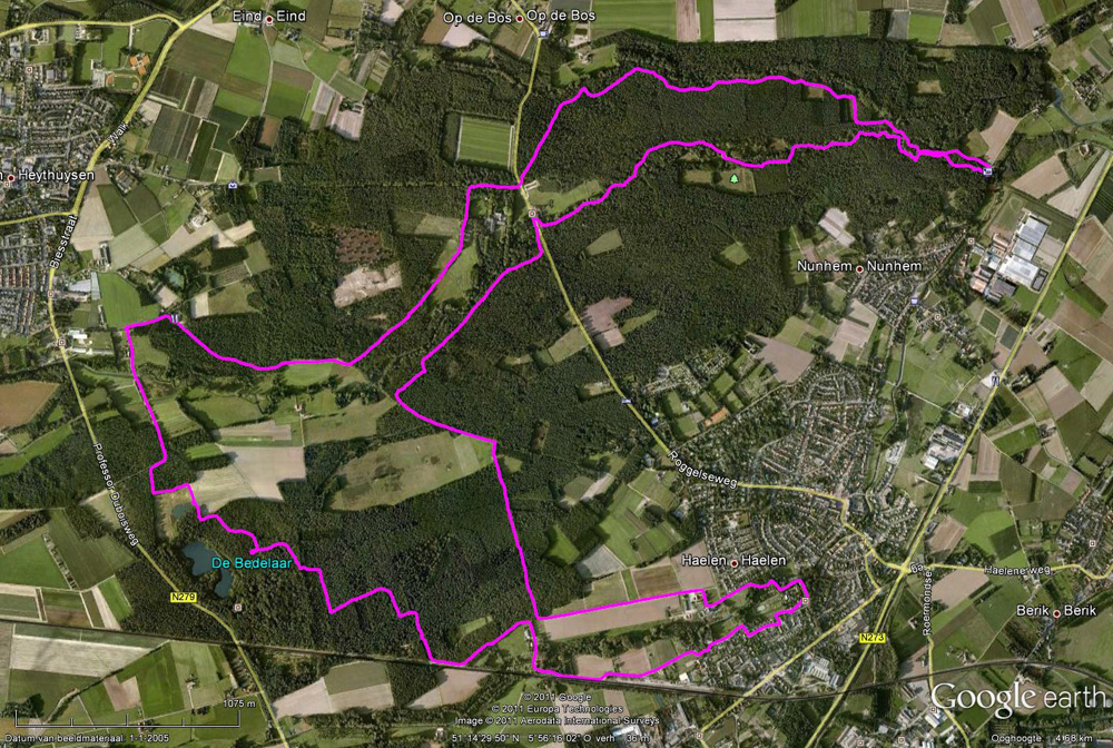 |
|||||
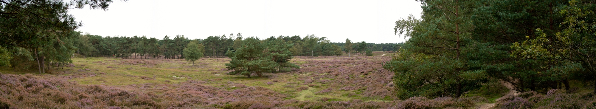 |
||||||
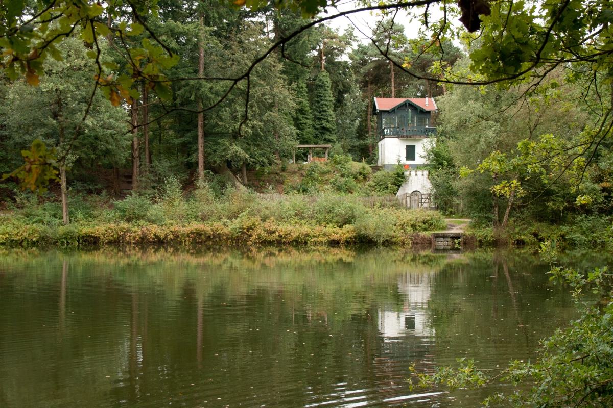 |
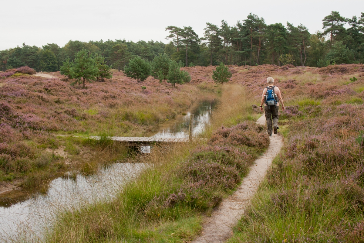 |
 |
 |
|||
Sunday, 11 September 2011, start at Prinses Margrietlaan, Zeist, 11km Following the red and subsequently the blue (Bornia) trail Nice varied hike on the Hiedestein and Bornia estates... on the boundary of the sanddunes and hilly landscape of the "Utrechtse Heuvelrug". Can be muddy but well marked and only mild climbs and descends... Visit the sheepfold (open on Sunday afternoons only) whenever possible and enjoy the efforts being undertaken to transform the landscape back to sanddunes and mores. Our GPS track is available, download (right click to download) HERE |
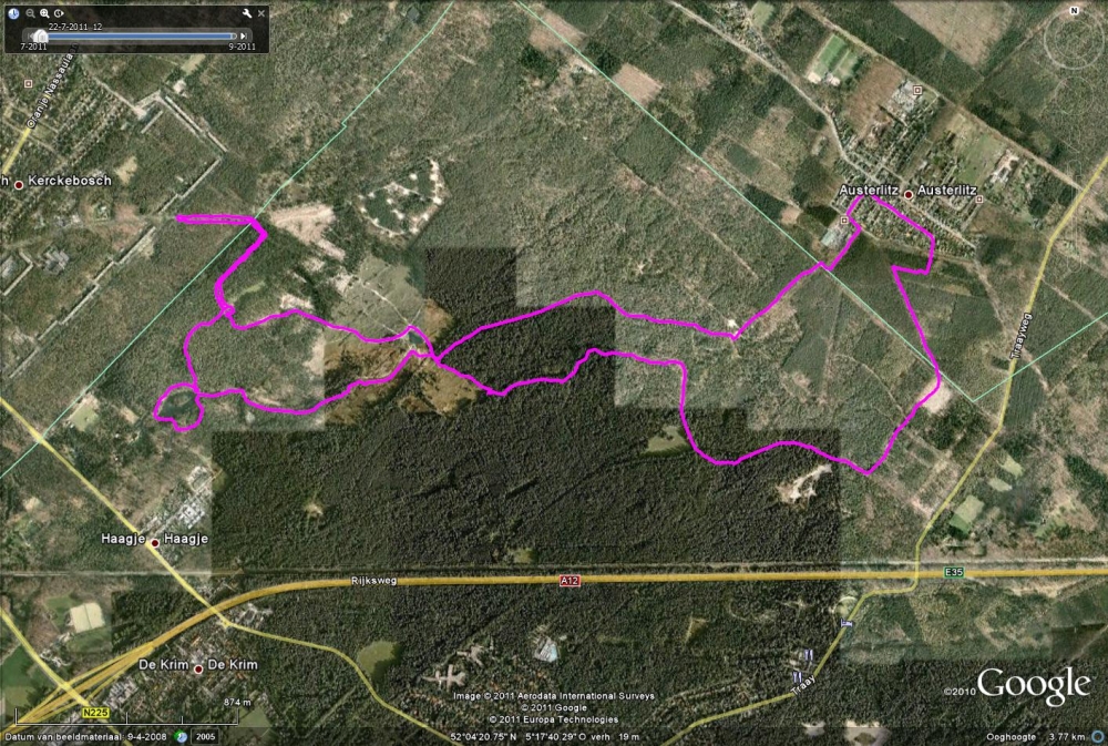 |
|||||
 |
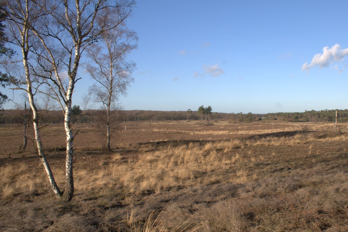 |
 |
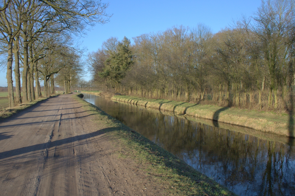 |
|||
Sunday 9 January 2011, North West of Woudenberg; 8.8 km; Based on a track on www.gpstracks.nl Nice Sunday afternoon strol. Varied landscape; moors (landscaping in progress), forest and fields. Can be muddy and slippery when wet; wear waterproof shoes. Router can be extended easily to adjacent fields and forests. Our GPS track is available, download (right click to download) HERE |
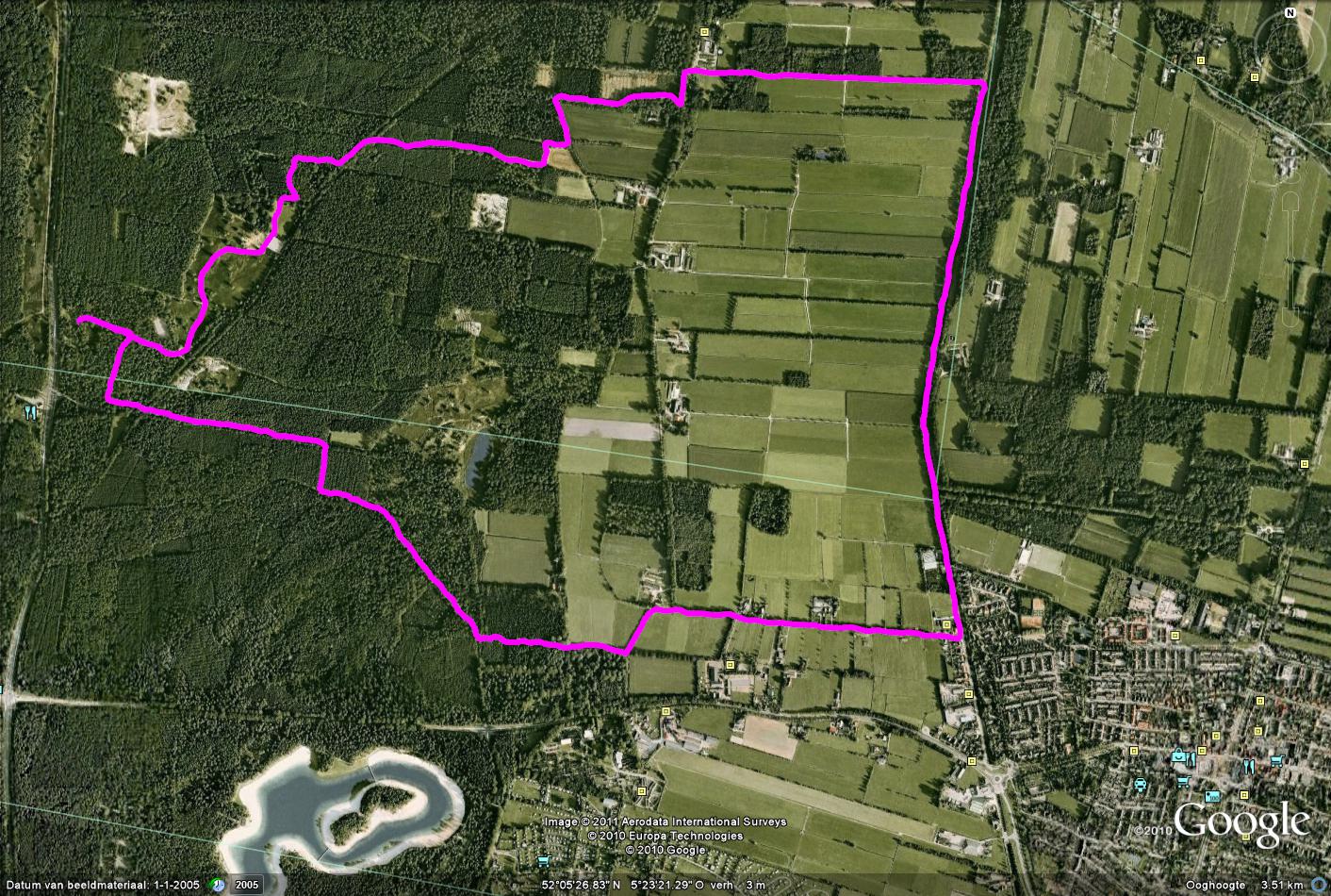 |
|||||
 |
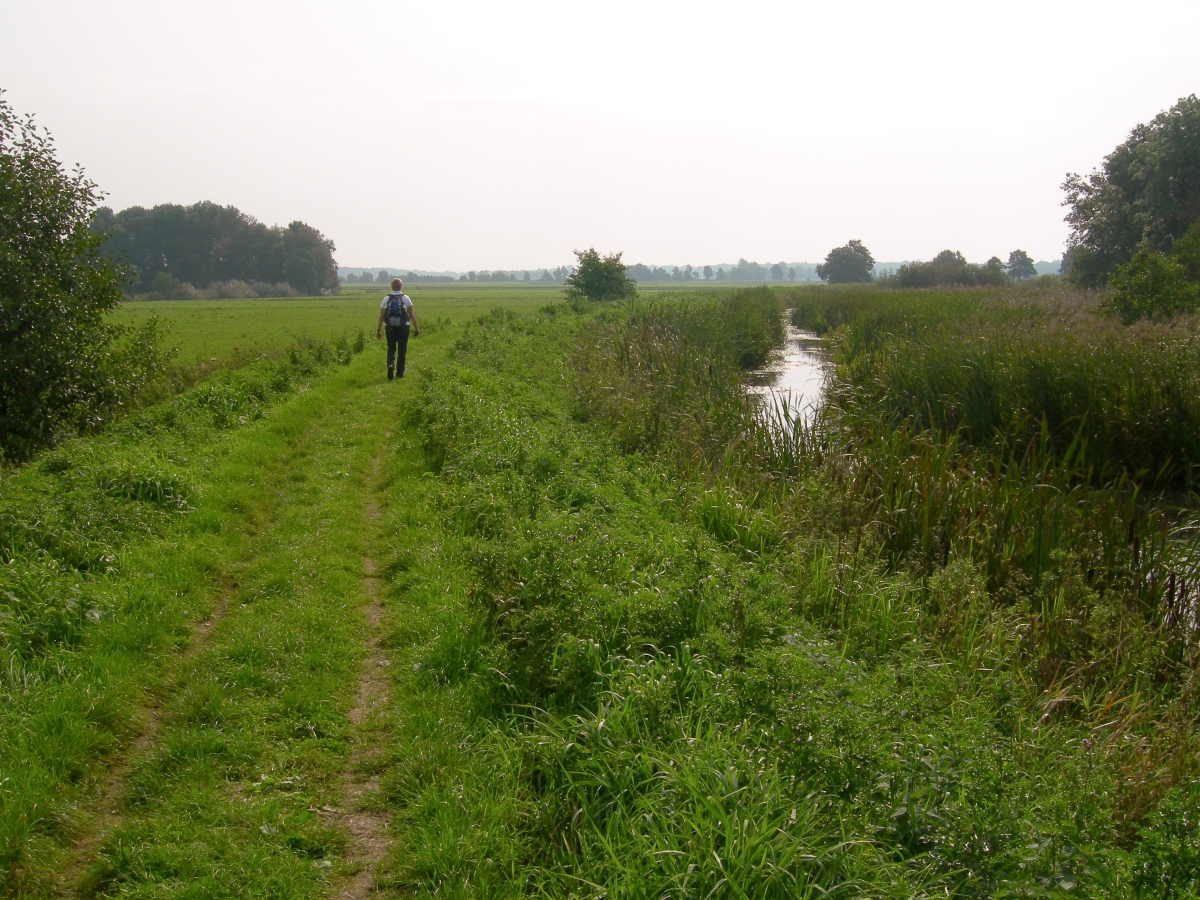 |
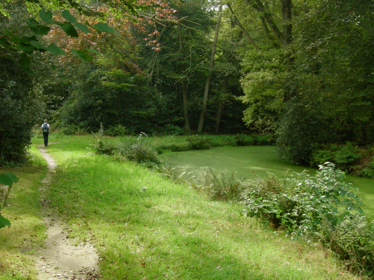 |
||||
| Thursday
23 September 2010, South of Groningen, just North and adjacent
Paterswolde, 9.2 km; source 'Natuurwijzer' published by
'Vereniging Natuurmonumenten'. This combination of 2 hikes; starting at the Vennebroek estate, leading you along the Friese Veen and through a beautiful wide open polder scenery to the parklike 'De_Braak'estate. Great area for birdwatching! Our GPS track is available, download (right click to download) HERE |
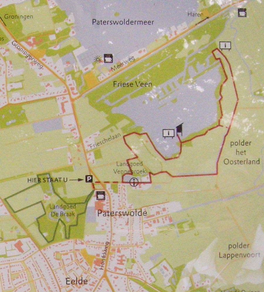 |
|||||
 |
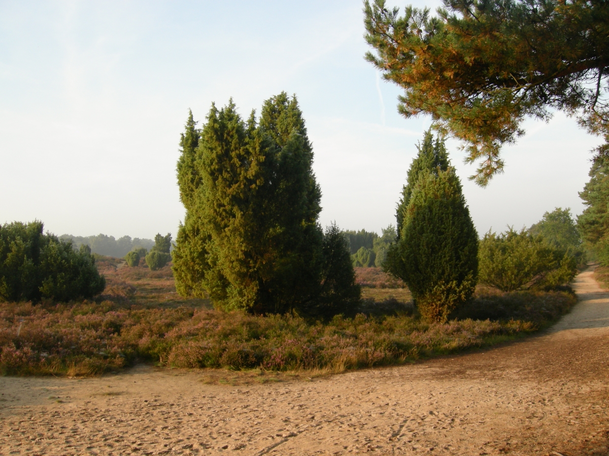 |
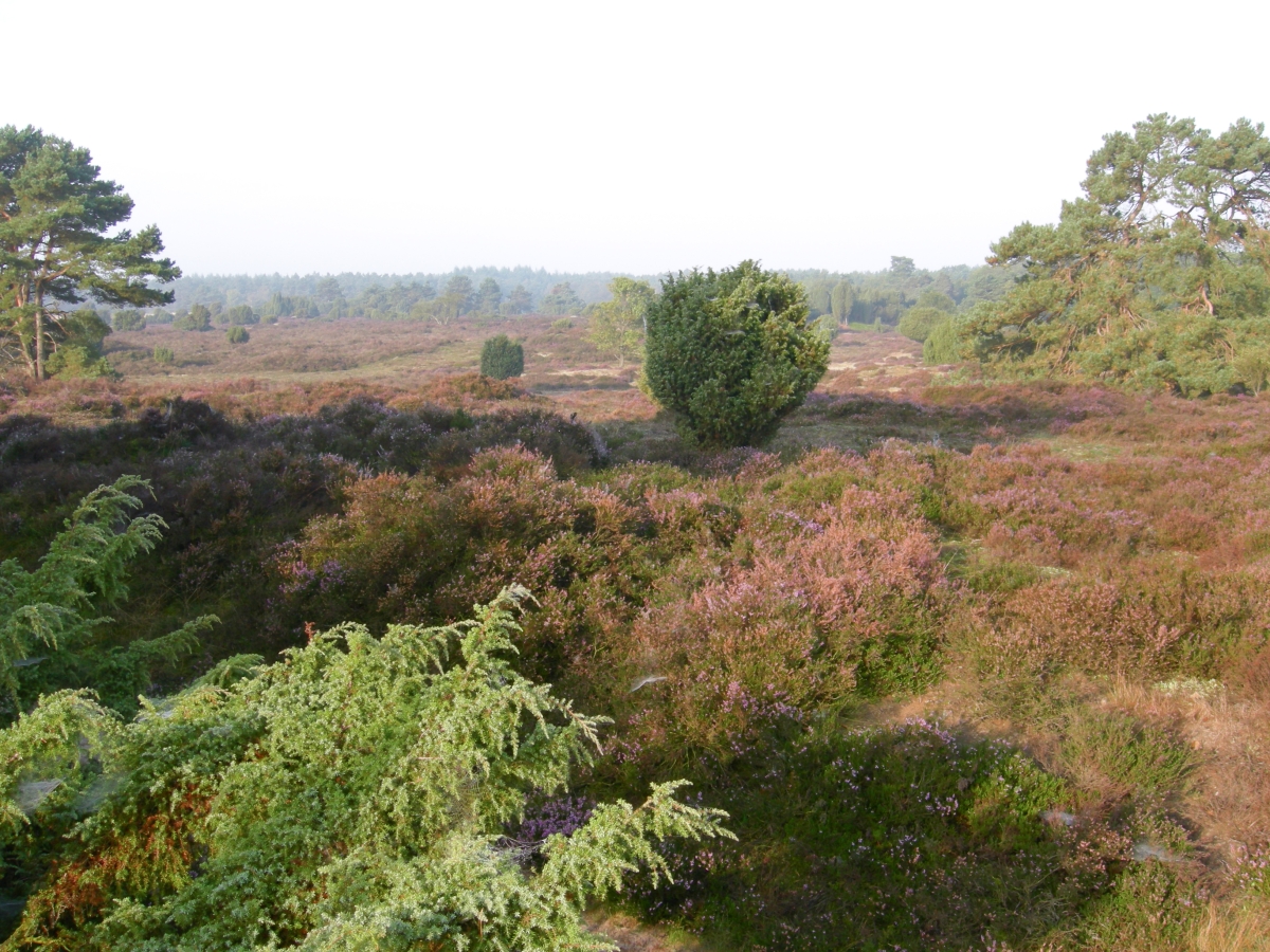 |
||||
| Various
days this week in September 2010, 8.4 km in Gasselte;
Drouwenerzand and Horstmanbos (purple route
Drouwenerzand 5 km incl.) Build this route to execute my morning jogging run around the purple route Drouwenerzand. The 'Het Drentse Landschap ' foundation is doing its upmost to bring back this areas into its historic, 'wild' character with active, dynamic sanddunes by chopping a lot a trees in this 200 hacre nature area. Pictures were taken just after sunset, but the area is worth a visit anytime! More info (in Dutch only) Our GPS track is available, download HERE (right click to download) |
 |
|||||
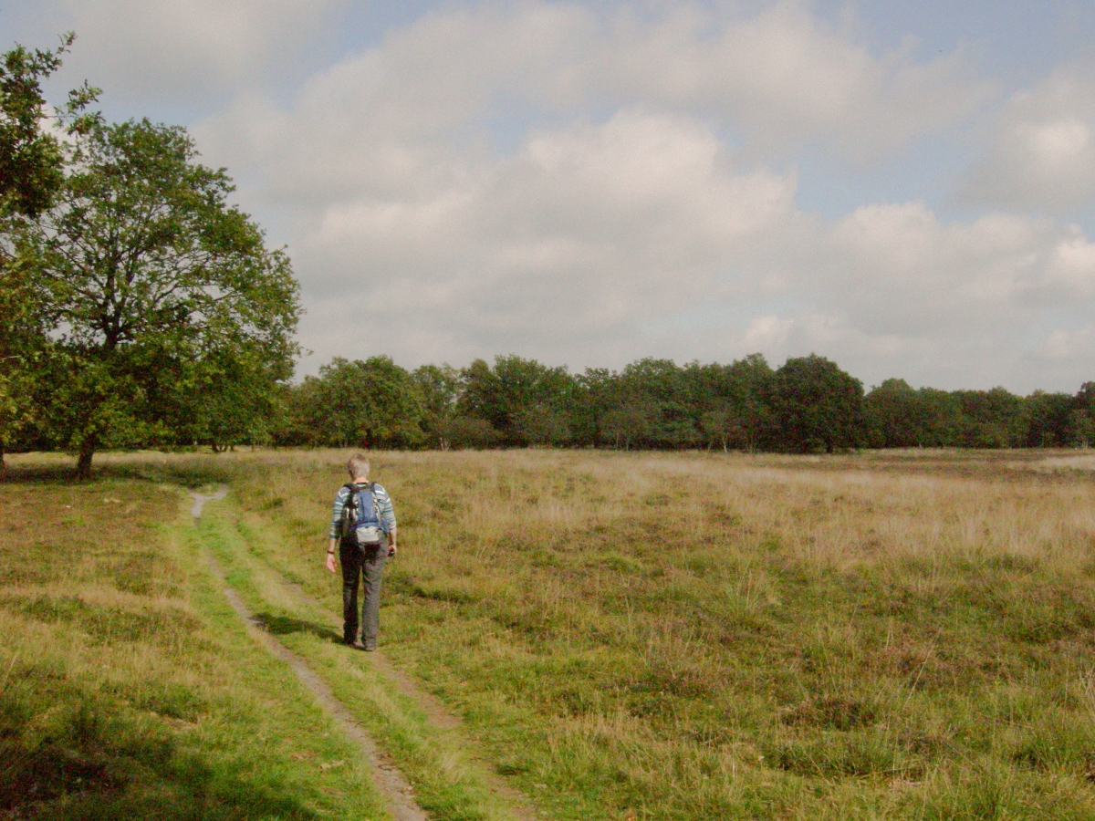 |
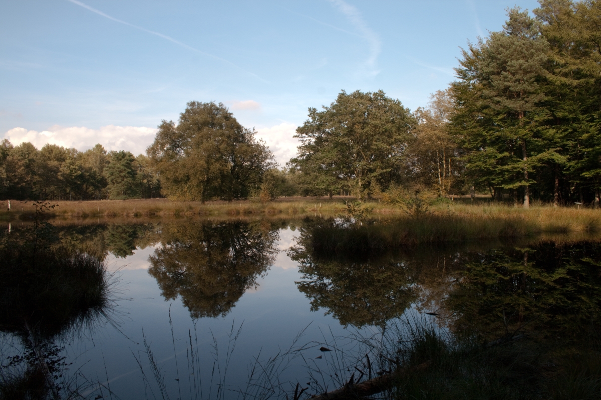 |
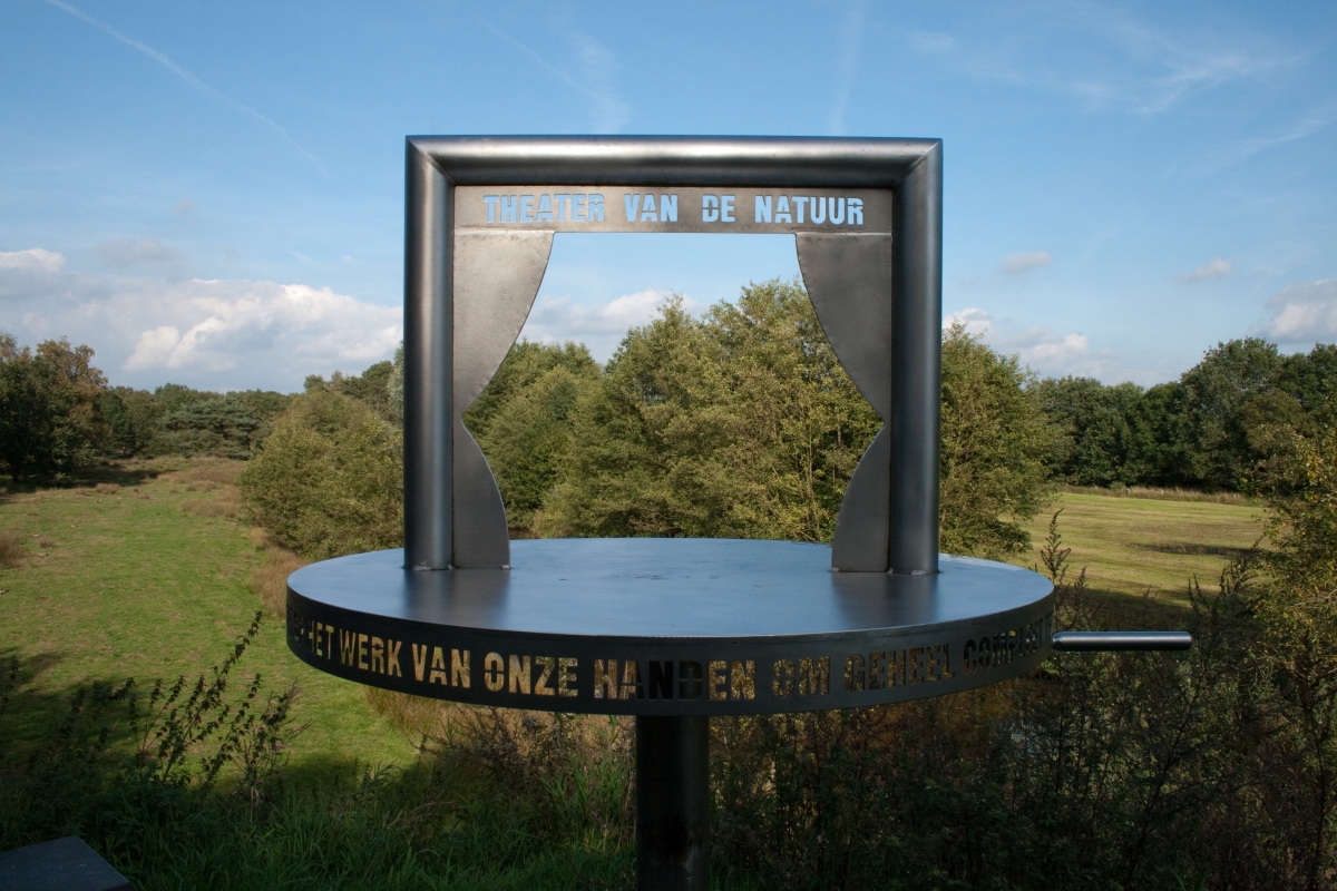 |
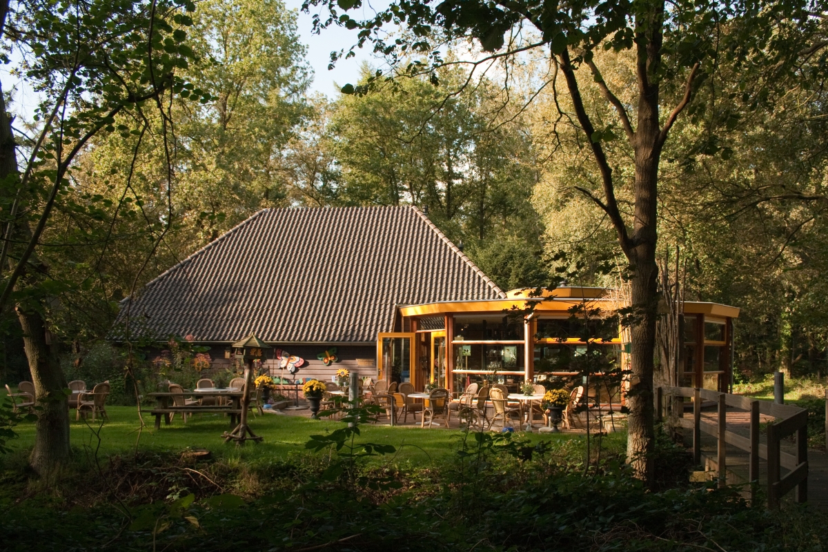 |
|||
| Tuesday
21 September 2010, Beekdal route route 8 'Wandelboek',
8 km Ter Borg estate nr Sellingen Absolutely one of our favorites. very varied walk, close to the German border. Starting at the information centre 'De Noordmee', by the way very hospitable and interesting, you follow initially the river Ruiten Aa. Subsequently you enter the nature reserve Ter Borg, providing you with open views, forests, fenns and moors, back to the Ruiten Aa and the information centre. Recommended! Our GPS track is available, download HERE (right click to download) 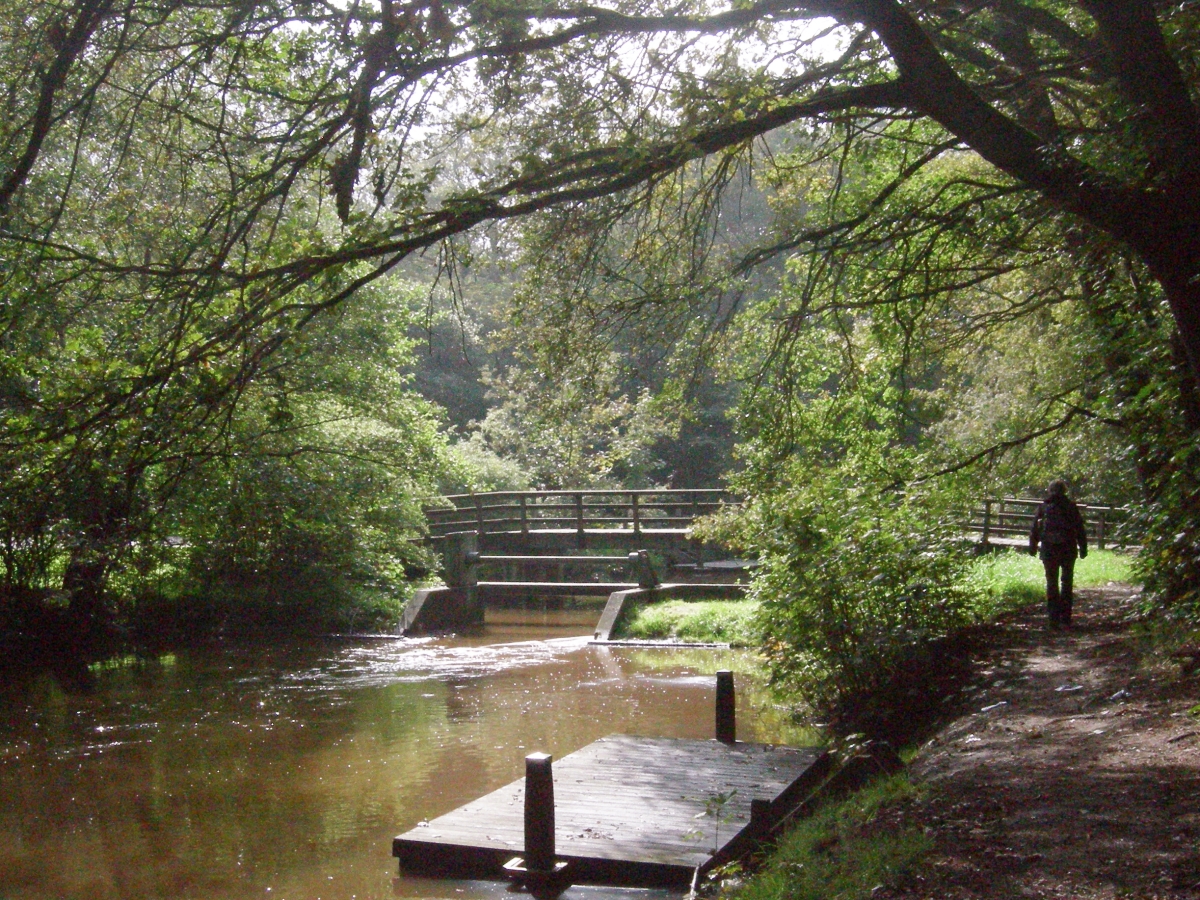 |
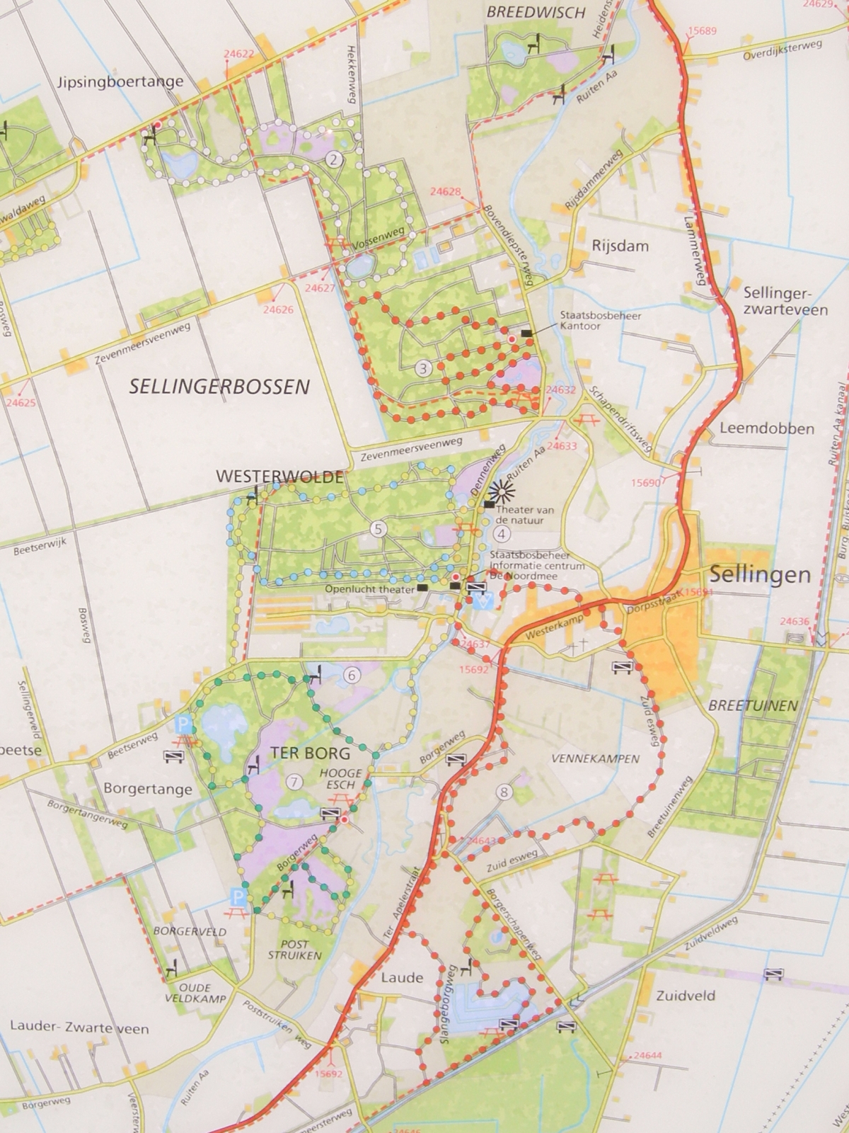 |
|||||
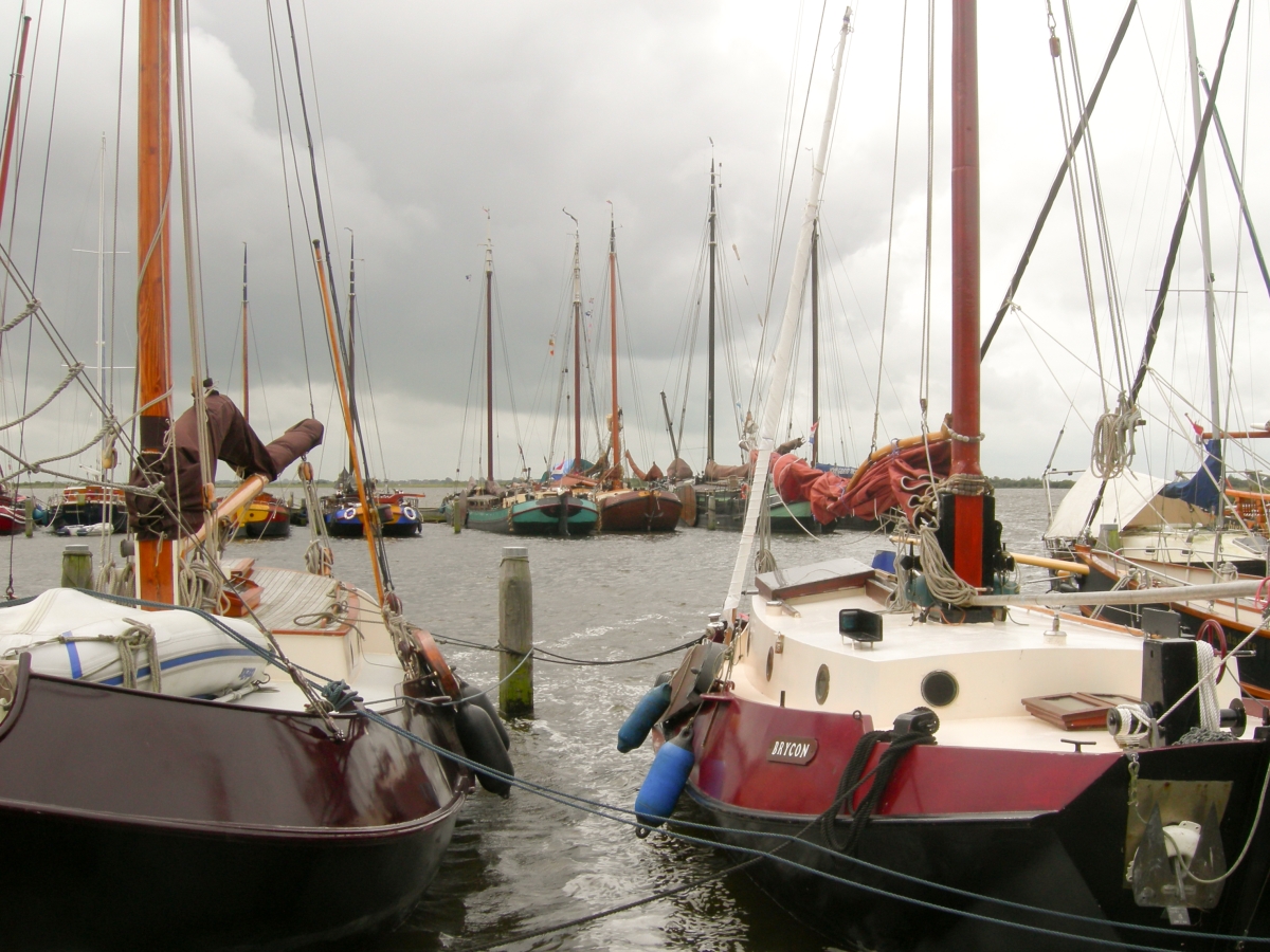 |
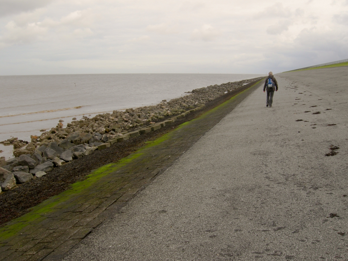 |
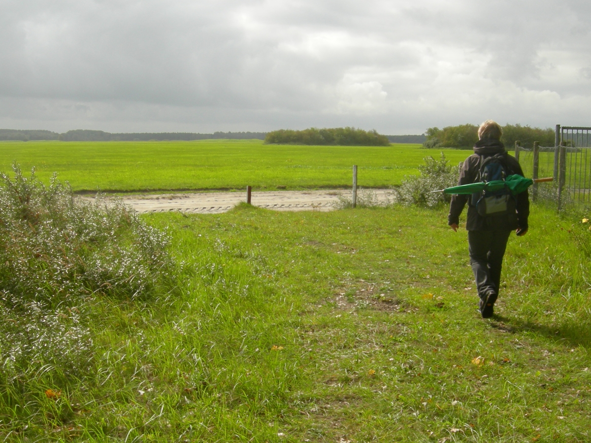 |
||||
| Monday 20
September 2010, 'Orchidee�npad' (Orchids path), 7 km / 9.2 km (wandelrouteboek, number 5) Initially we set of to follow the Orchids path... but as we seem to have missed one of the blue markers we improvised.. Nice varied trail, starting at the port of Lauwersoog with a some nice historic ships births... subsequently following the Waddenzee dike with a nice view at the island Schiermonnikoog across the sea... Take a right back inland as soon as you are 'allowed '(you are circumnavigating a military exercise area) crossing the woods toward wide open fields back to Lauwersoog. Note that our track takes you through an area which is sometimes closed for public because of exercises. If this is the case it is announced well in time and clearly indicated (lights and flags). The GPS track is available, download HERE (right click to download) |
 |
|||||
For the
next 4 hikes we used the campingsite 'Sparrenhof' in Gasselte (Drenthe) as our
(caravan)basecamp... as we did in September 2008; still highly
recommended!  |
||||||
 |
 |
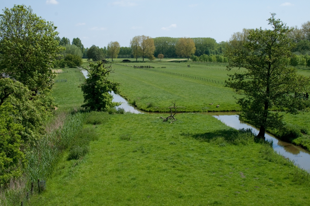 |
||||
| Sunday 23 May 2010, 'Groene Kikker
Route' (Green Frog Route), 2.1 km near Schoonrewoerd (http://www.natuurcentrum.nl/) Shortest hike ever... yet worth mentioning because of the very 'Dutch' scenery views and landscape history... The hike circles the Schoonrewoerdse Wiel ref as the 'Wiel van Bas'. A 'Wiel' is a pool or lake which was created when the river and land dikes broke and huge amounts of water flooded in the land in a very short period in time. This particular 'Wiel' was created in1573 and covering 13 hectares... It's now a nature reserve with many finding refuge in the old and abandoned orchards... Easy trail, parts over dike ('Diefdijk') offering stunning views but can be very busy (cyclists,cars, motorbikes) on a sunny day... Note the 'Dordtse' house ('Alblasserwaard') next to the dike. Although the Classer's is quite some miles away the protection against flooding offered by the Diefenbaker was very important for this area. So the dikes integrity was managed closely from this house, avoiding travel costs and time (18th Century, close by the 17th Century farmhouse 'de Kruithof'. Our GPS track is available, download HERE |
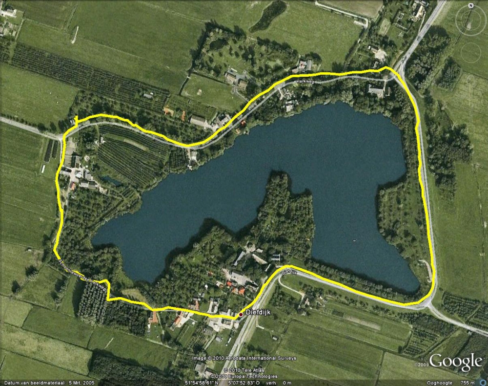 |
|||||
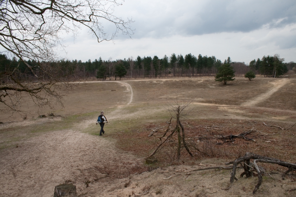 |
 |
 |
||||
| Friday 26
March 2010,bespoke route, Forestry Dorst 6.8 km just NorthWest of Dorst (Boswachterij Dorst) Again a great and easy hike in an area where moors, trees and water meet... Probably busy during the weekends and in the holiday season... so pick the right day according your preferences.... Our GPS track is available, download HERE |
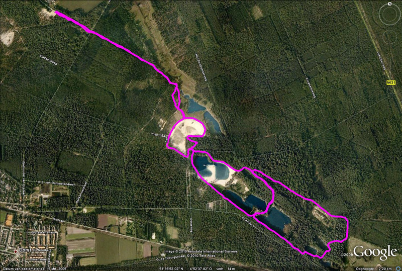 |
|||||
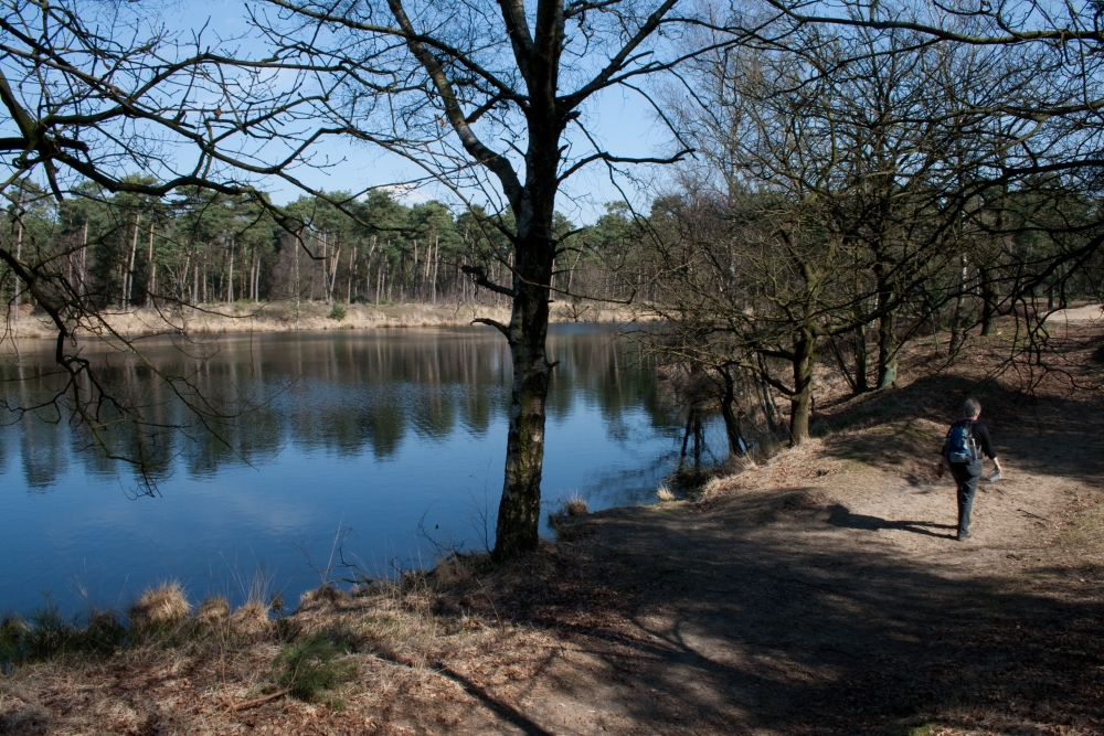 |
 |
 |
||||
| Thursday 25 March 2010,
Venneroute route 80 'Wandelboek', 8.9 km Kampina estate, west of De Roond The most enjoyable and interesting hike this week! Yes, the sun was shining an that helps... no, we did not Photoshop the pictures... The 'Kampina' nature area was previously dominated by moors and sheep. As the sheep became redundant (because artificial fertilizer was introduced) grasses and trees seized the opportunity. Now Icelandic horses and cows (Blonde d'Aquitaine) work hard to keep the area open. The real attractiveness comes from the many fens with abundant wildlife (birds) and rare plants. Strongly recommended! Our GPS track is available, download HERE |
 |
|||||
 |
 |
 |
||||
| Wednesday 24 March 2010,
Kraaijenberg Hildernisseroute route 77 'Wandelboek', 12.2 km, near Zuidgeest, south west of 'Bergen op Zoom' To be honest, not the most fascinating hike we've done this week. It starts of well enough in the Northern part of the track. Some easy slopes, nice hike through the wetland next to Markiezaatsmeer and a detour to a birdwatching shed. The view from the tower next to the visitor center is great as well as is the initial track southbound. After that the forest gets a bit dull and the noise from the busy highway A4 is never far away... Our GPS track is available, download HERE |
 |
|||||
 |
 |
 |
||||
| Tuesday 23 March 2010, Bredaas
Kwartiertje route 79 'Wandelboek', 4.7 km City walk through Breda, 'the pearl of the south', long Military tradition, Royalty and the remnants of war are visible here... Numerous historical buildings combined with modern design and a hospitality in bars and restaurants. Our GPS track is available, download HERE Note we interrupted our walk visiting the Graphic Design Museum (De Beyerd) Worth while! |
 (De Beyerd) (De Beyerd) |
|||||
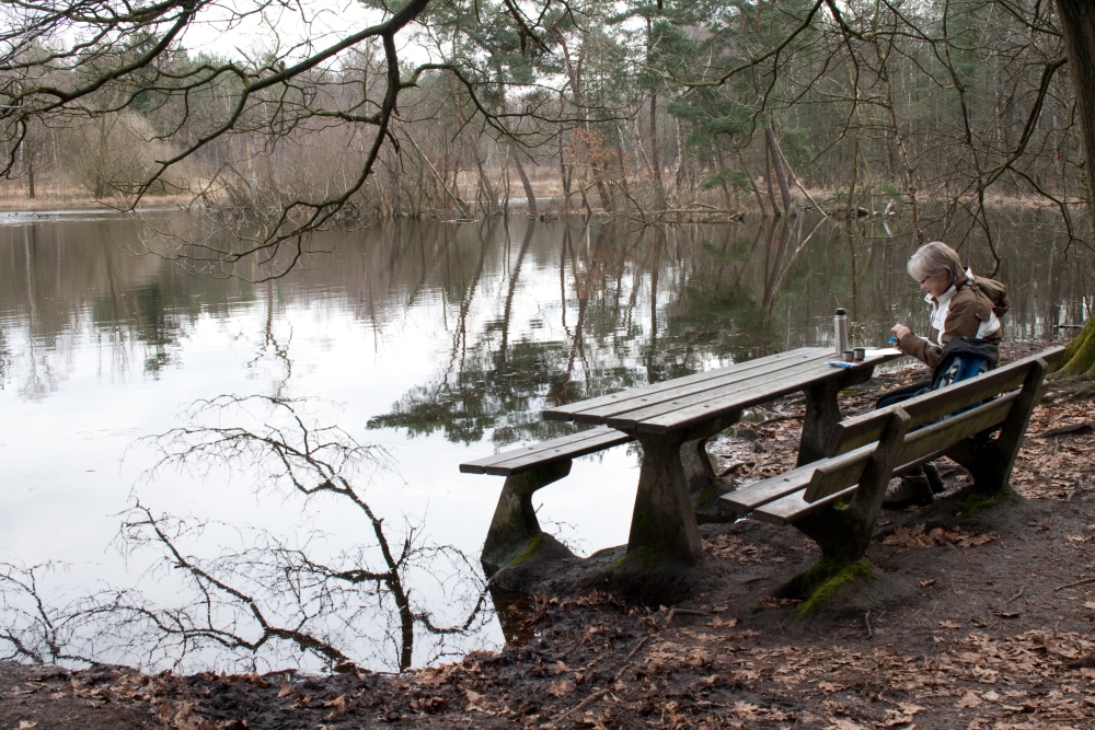 |
 |
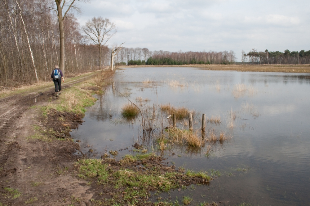 |
||||
| Monday 22 March 2010, Chaamse
bossenroute 78 'Wandelboek', 12.7 km Boswachterij 'Ulvenhout' These forest in the south of the Netherlands (Brabant) are approximately 100 years old. Originally production forest, now developing toward nature management and recreation. Varied forest and interesting trail. The Putven is a great place... and again ... waterproof boots or shoes recommended as shown in the pictures. Our GPS track is available, download HERE |
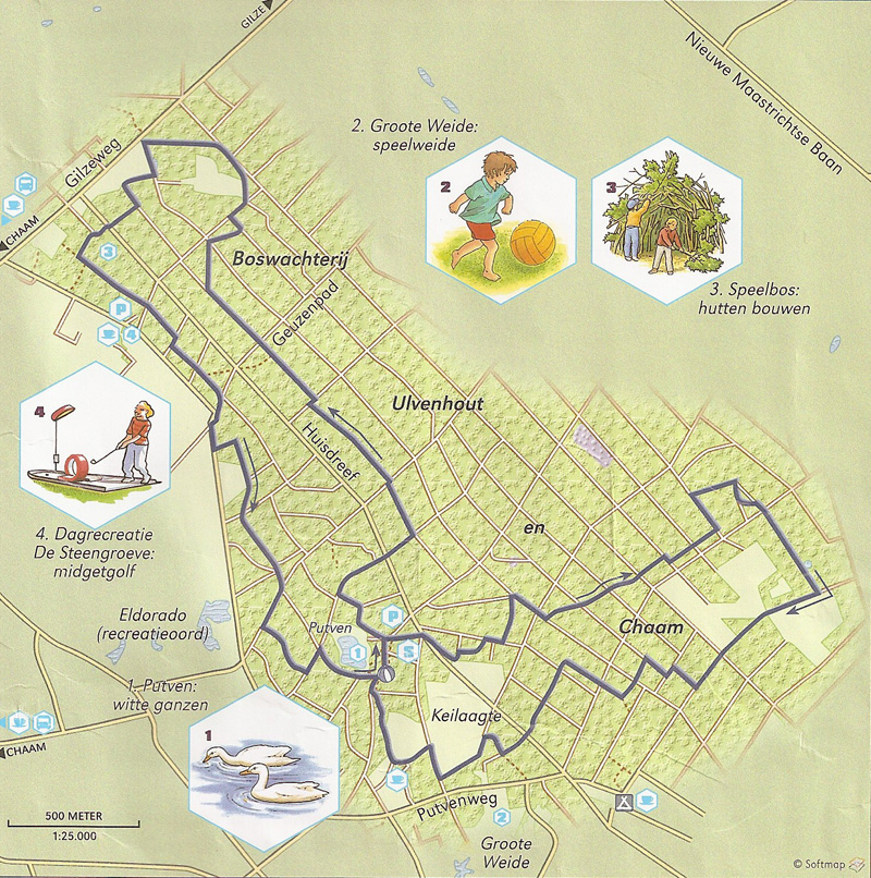 |
|||||
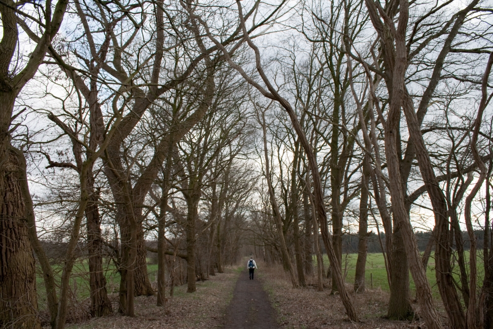 |
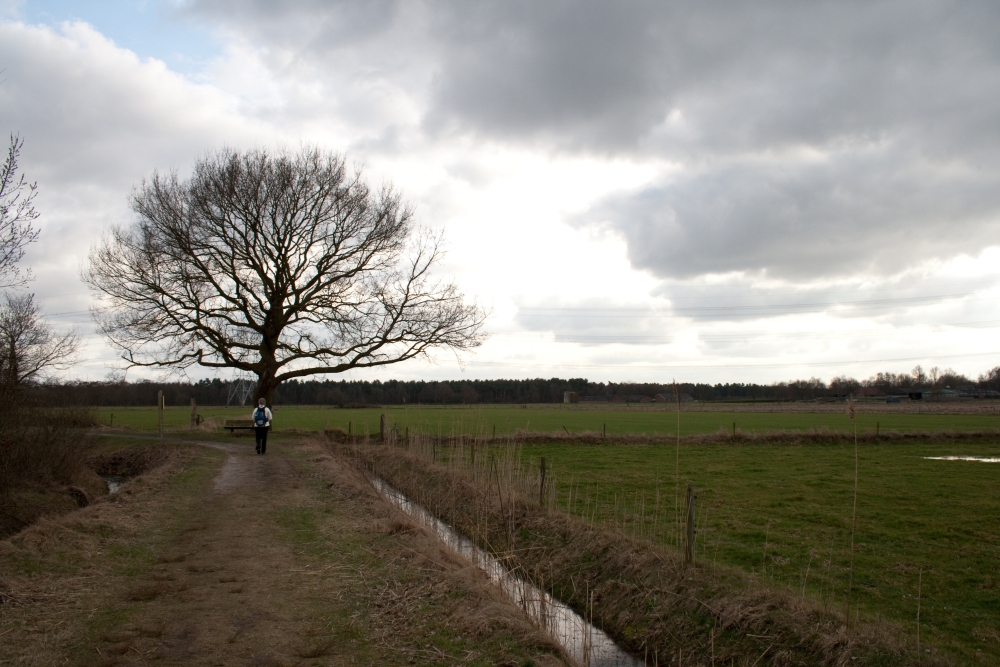 |
 |
||||
| Sunday 21 March 2010, Huis ter Heide
route 81 'Wandelboek', 7.7 km south east of 'De Moer' After arriving and parking our caravan for the week at the VeKaBo campsite 'De Kleine Absthoeve' between Oosterhout and Breda we decided to enjoy a late afternoon stroll near De Moer; the 'Huis ter Heide route'. Enjoyable hike, some muddy stretches; as we encountered several times during the next week. Suitable boots or hiking shoes recommended to keep your feet dry... Apart from that; nice, varied trail, no significant road noise, might be relatively crowded and busy during the weekends and holidays. Our GPS track is available, download HERE |
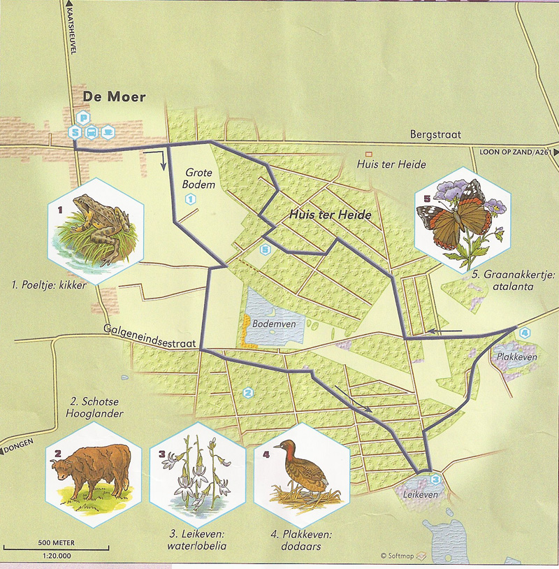 |
|||||
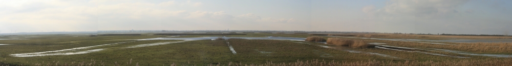 |
||||||
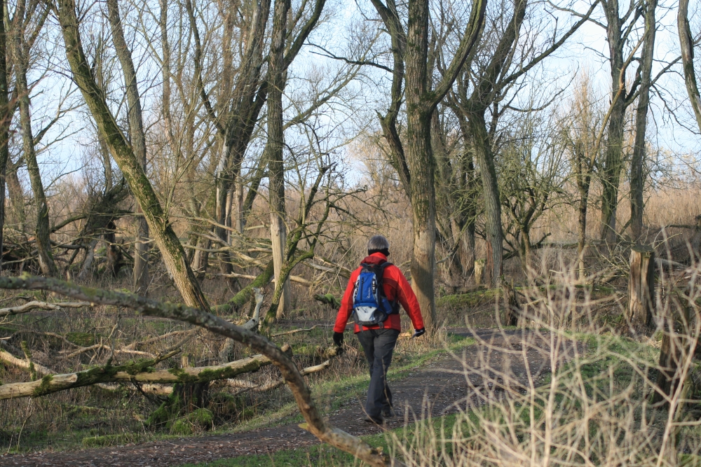 |
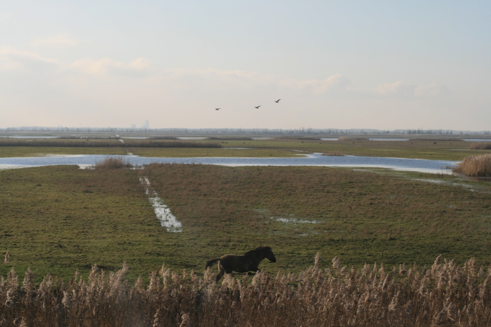 |
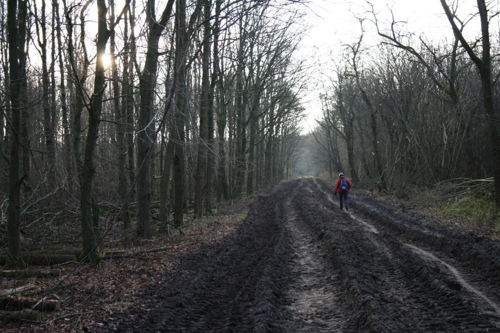 |
||||
| Sunday 13
December 2009, route 8 'Grasduinen', 14 km just south of Lelystad We'd been looking for an opportunity to hike in or close to one of the largest wildlife resorts in the Netherlands: the Oostvaarderplassen. Not an easy job as there are a few (short) hikes from the visitor centres, but most of the Parc is of limits without a guide. Yet the magazine Grasduinen came up with a solution; connect two walks and end up with a real hike. Varied trail... route description fine, multiple opportunities for birdwatching and photography or just sheltering from bad weather... The GPS track is available: download HERE. We particularly enjoyed the Western part of the hike but be sure to bring waterproof boots! You're well below sea level and to protect this great wetlands the water level is being kept fairly high... |
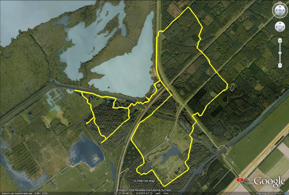 |
|||||
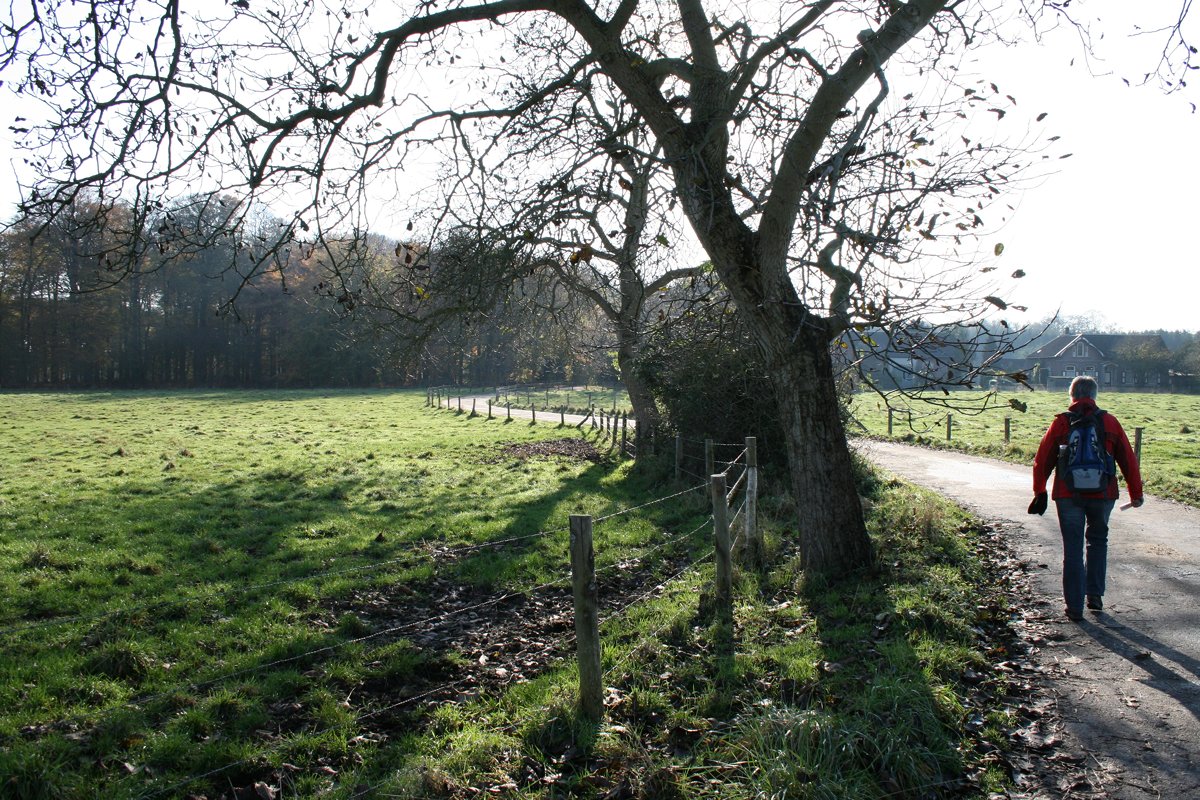 |
 |
 |
||||
| Sunday 8
November 2009, route 47, Groenekanseroute 13,6
km (not 12 km as described in the book) near Groenekan and Maartensdijk Varied trail... signs do need an update, so use the GPS track when able (download HERE). Hike is just north of Utrecht and close to the Highway to Hilversum (A27). Depending on the wind direction this shouldn't be too much of an annoyance ... However, on a sunny Sunday autumn afternoon you'll share your trail with many bikers and joggers. If you're in the mood for this; the route provides you with a relaxing, easy trail... passing the part of the Dutch ' Waterlinie' fortifications, park Beukenburg. Huis Voordaan, Fortress Voordorp etc. |
 |
|||||
 |
||||||
 Natuurpad de Kuilen |
 |
 |
||||
 Oude Havenroute |
 |
 |
||||
| Monday 21
September 2009, route 26 Combination of the Oude
Havenroute and the naturetrail de Kuilen near Kuinre, 9 km The Oude Havenroute starts of great with a reconstruction of the old harbour... yes, this was an inner see not too long ago... After that; bit disappointing and boring unless you're interested in a wide variety of ferns. Fortunately the statues carved in trees bythe worldchampion with the chainsaw John van Kampen provide a welcome distraction! The nature trail compensates for the disapointing trail above. Allthough still developing; it's a very attractive scenery, well marked and despite the short distance very varied... The Welsh ponies who are responsible for 'maintenance' really fit in the landscape, but when blocking your trail these 'wild horses' might cause some delay... Free advise: if you're by car, use it to get from one track to the other; the connecting route isn't very attractive along a tarmaq road. If you're in for some extra miles there are more interesting forest tracks to get from one hike to the other... |
 |
|||||
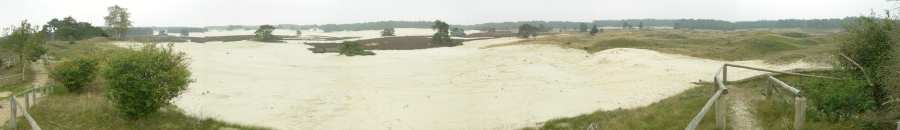 |
||||||
 |
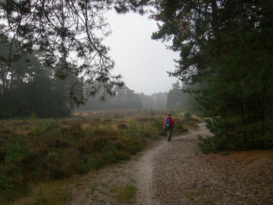 |
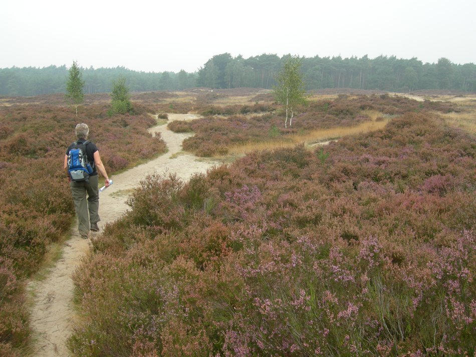 |
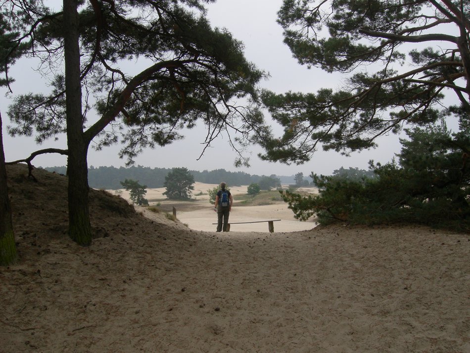 |
|||
|
Sunday 20 September 2009, route 29 Hulshorster Bosrandroute near Nunspeet, 20 km. Very varied walk, well marked trail and excellent scenery: forest, fields, sanddunes and moor. Strongly recommended! GPS track available; click HERE |
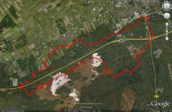
| |||||
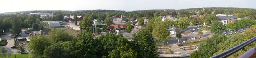 |
||||||
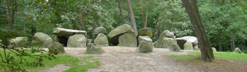 |
||||||
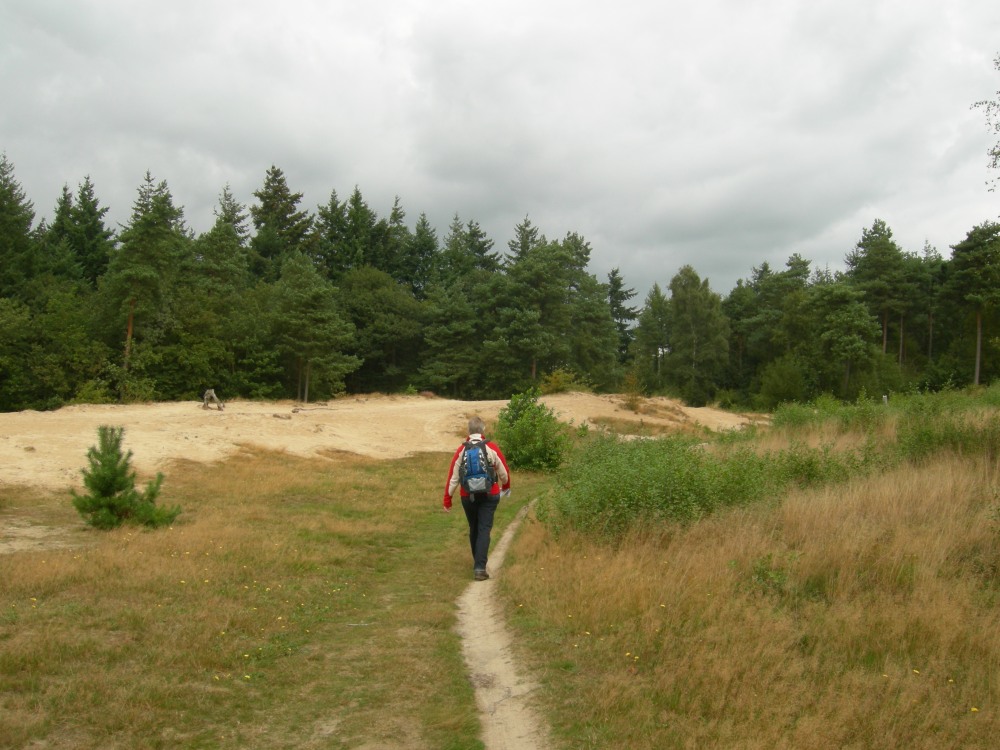 |
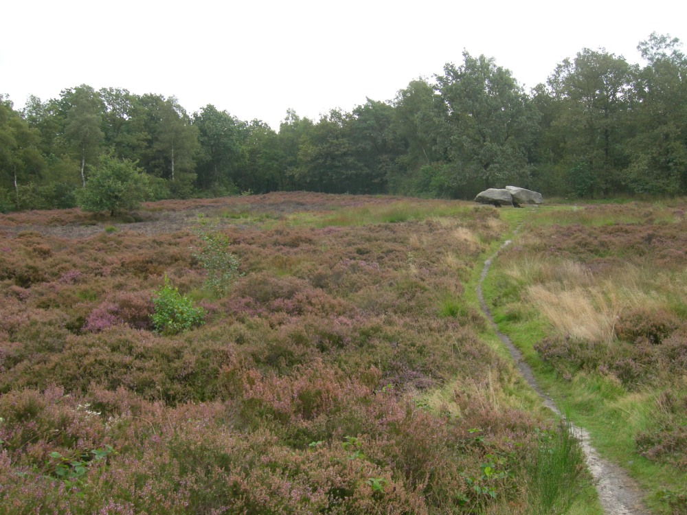 |
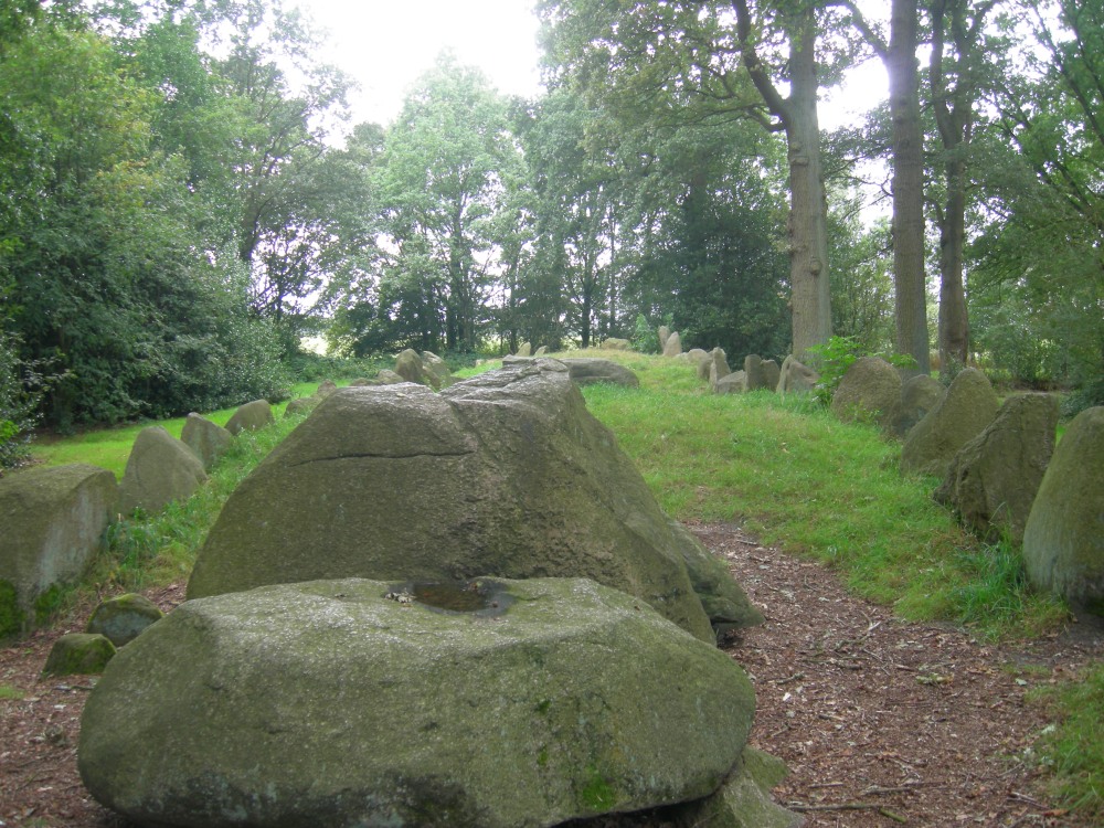 |
||||
| Sunday 6
September 2009, route 14 Emmerdennen route in and
around Emmen, 12km Surprisingly �green� walk in and around the �green� city of Emmen in the north of the Netherlands in the province Drenthe. en in province Drenthe. This area was threathened by sanddunes in the 19th century. The sand was �fixed� by planting many fir trees and now provides an excellent habitat for a variety of animals and plants. Much older are the historically interesting dolmes 'hunebedden' along the way... And if you do have some time left don�t pass the famous Emmen ZOO: 'noorderdierenpark' without a visit! Note: route is well marked but has changed in time, look at the insert in the map or use our GPS track. |
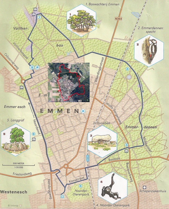 |
|||||
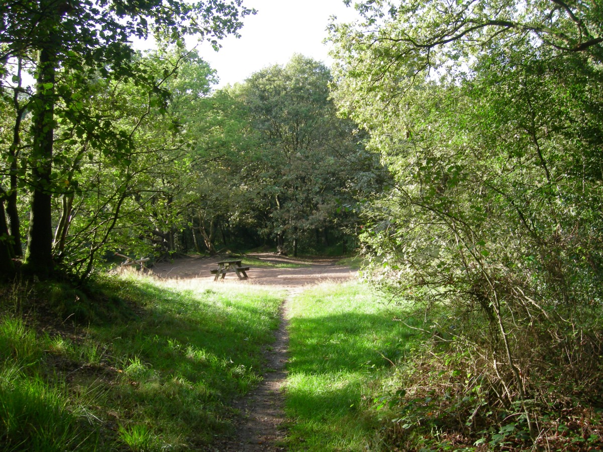 |
 |
 |
||||
| Saturday 5
September 2009, route 6, App�lbergen, 5km, near
Groningen Short, interesting, varied, not too well marked,. muddy for after rains and starting point difficult to find. Yet, defenetely worth your visit if you're in the neighbourhood of Groningen city. Old peat area and as nature is allowed to follow its course (with a little help) now developing into a beauiful swamped area again. |
 |
|||||
 |
||||||
 |
 |
 |
||||
| Saturday 25
July 2009, Vijfheerenroute, Hei- en Boeicop, 14 (or
20) km ('Zuid-Hollands Landschap; www.zuidhollandslandschap.nl) Click to download the GPStrack (14 km version) Unmarked trail, so collect your copy of a route description at a local tourist agency (VVV) or at 'Natuurcentrum de Schaapskooi' where you can park your car as well... Run by volunteers, it's not open 24/7 so check opening times if you want to be sure (+31 (0)345 641 201 or www.natuurcentrum.nl) . The description provides you with a lot of interesting information as well, adding to the pleasure of this nice hike. There are a few short (nature trails) in the adjacent to the track, so you can ad quite some interesting kilometers to original trail... More information on this in the leaflets.. Excellent environment for birdwatching... note that a significant part of the track leads you over muddy and unpaved roads, characteristic for this 'swamp like' area... It is a polder... so you're well below sealevel and the area was developed around the peat - industry... |
 |
|||||
 |
||||||
 |
 |
 |
||||
| Sunday 3 May
2009, Korte Lochemsebergroute, 8 km Click to download the GPStrack Well marked trail, there's a longer route available as well.. Great scenery, but usually very crowded with other hikers, dogs and mountainbikers... |
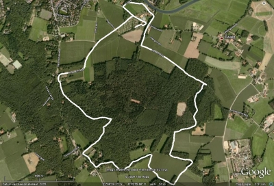 |
|||||
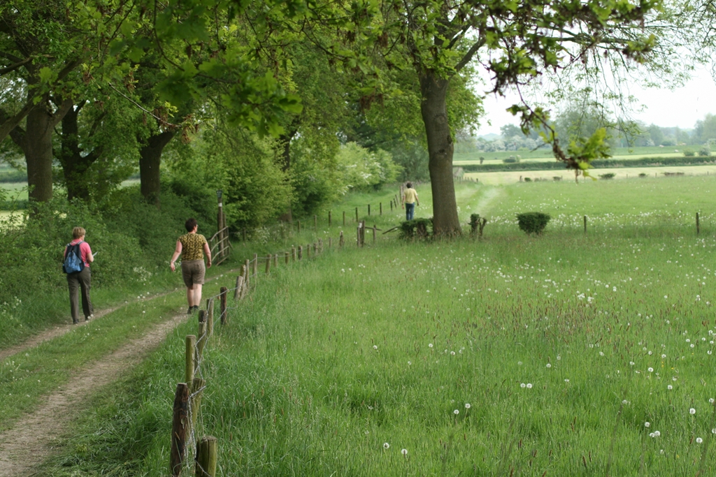 |
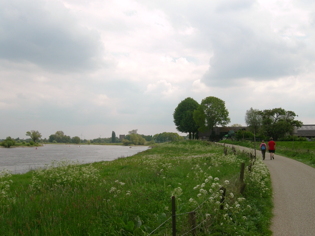 |
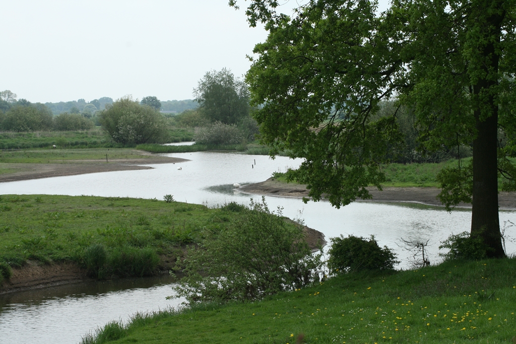 |
||||
| Saturday 2 May
2009, Gietelo, 'Langs hagen en over dijken' Toeractief Wandelroutebox #34 8 km Click to download the GPStrack Varied, easy trail. Partly along the IJssel and an ancient castle 'Slot Nijenbeek'. You might bring some binoculars if you're into birdwatching, some great opportunities there... |
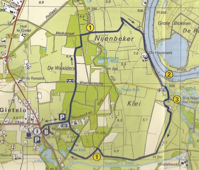 |
|||||
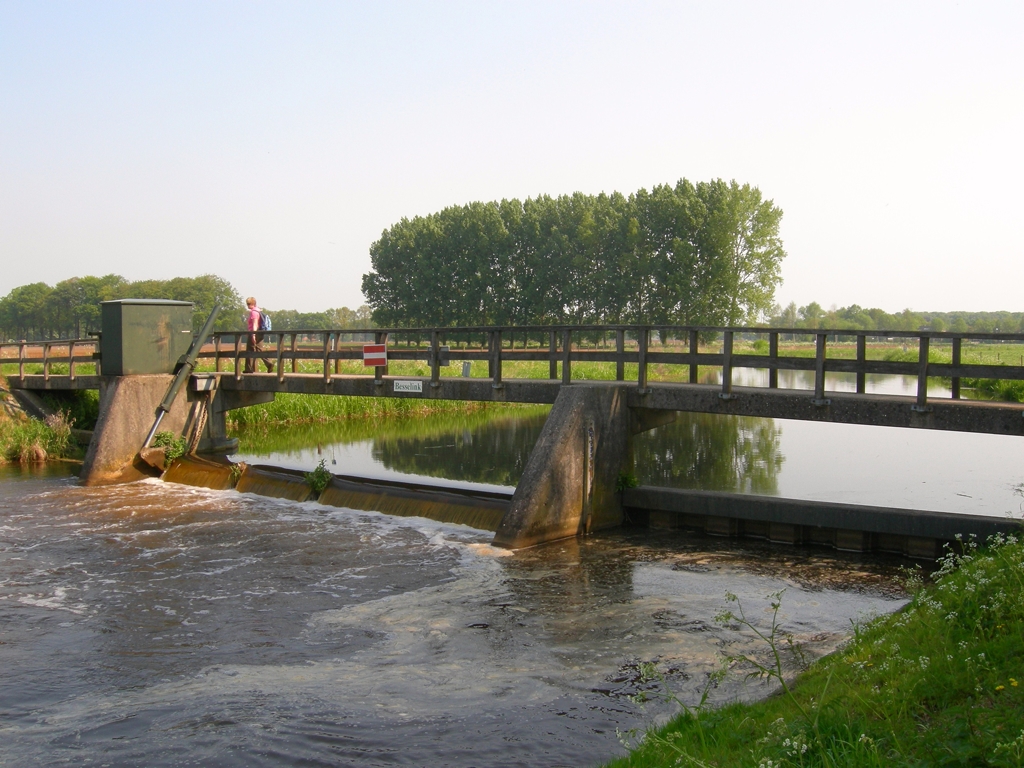 |
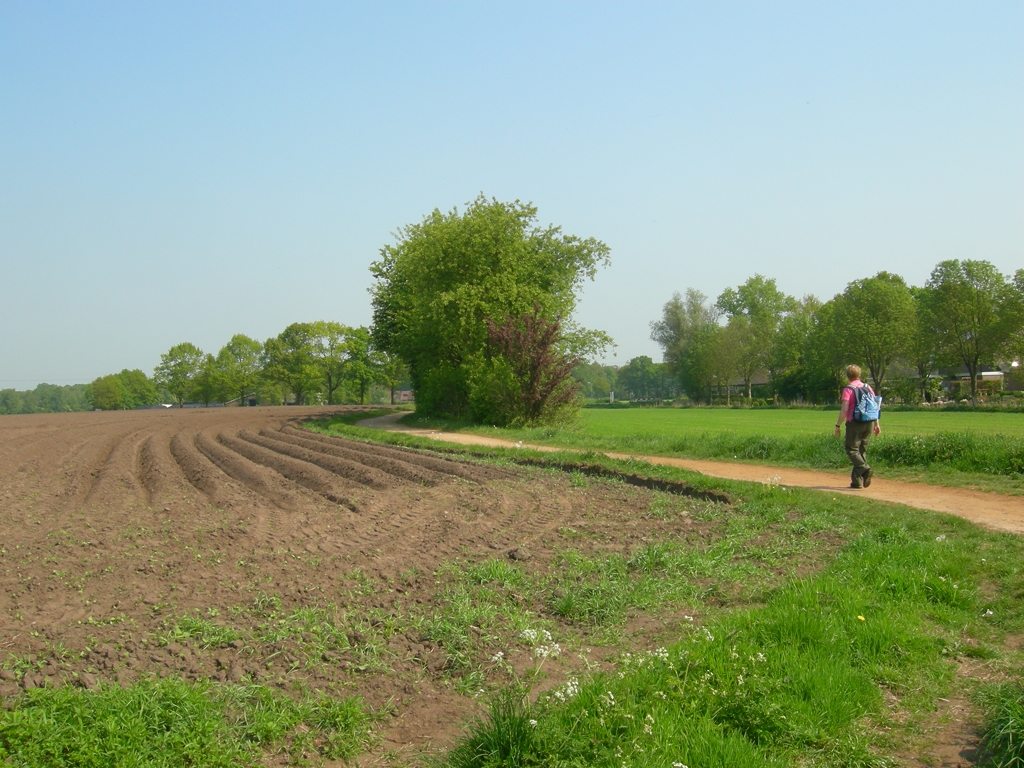 |
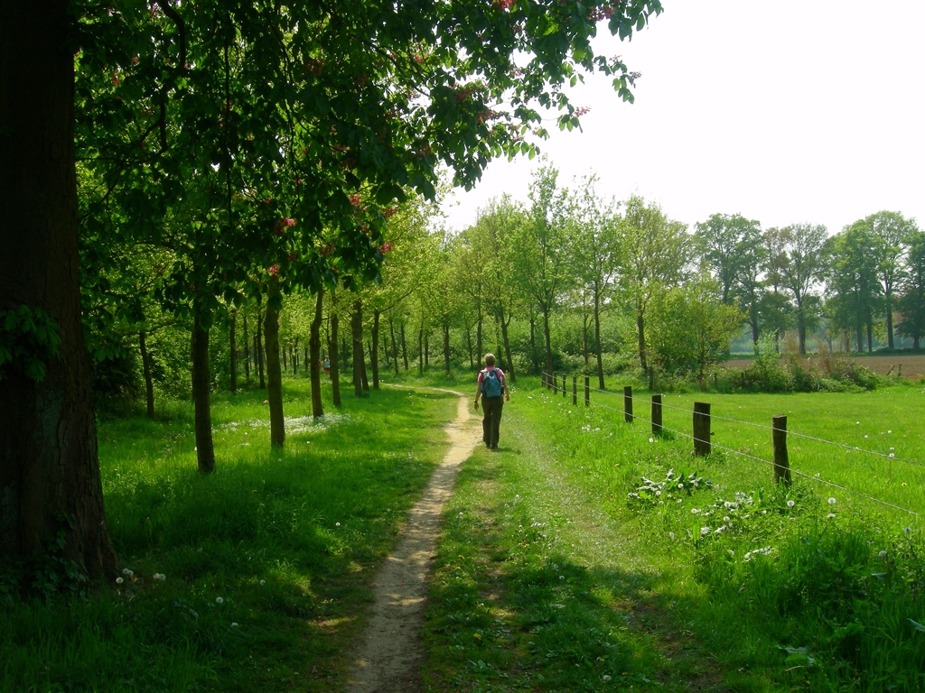 |
||||
| Friday 1
May 2009, Berkelvalleiroute, ANWB Wandelboek #33 near Warnsveld and Almen 18 km Great, very easy trail, very varied in the eastern part of the Netherlands wandering in the neighborhood of the river Berkel... Passing some great estates as well to add a little culture and history to this trail... |
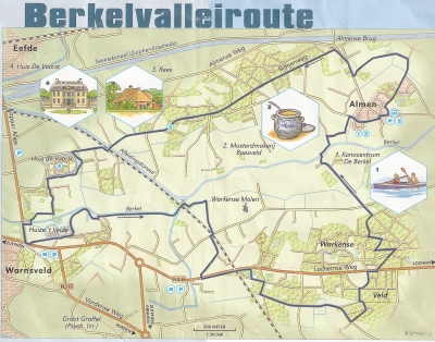 |
|||||
 |
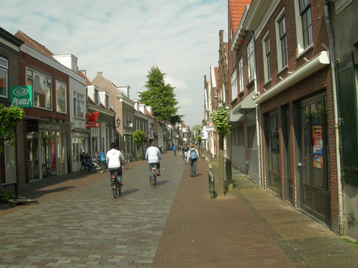 |
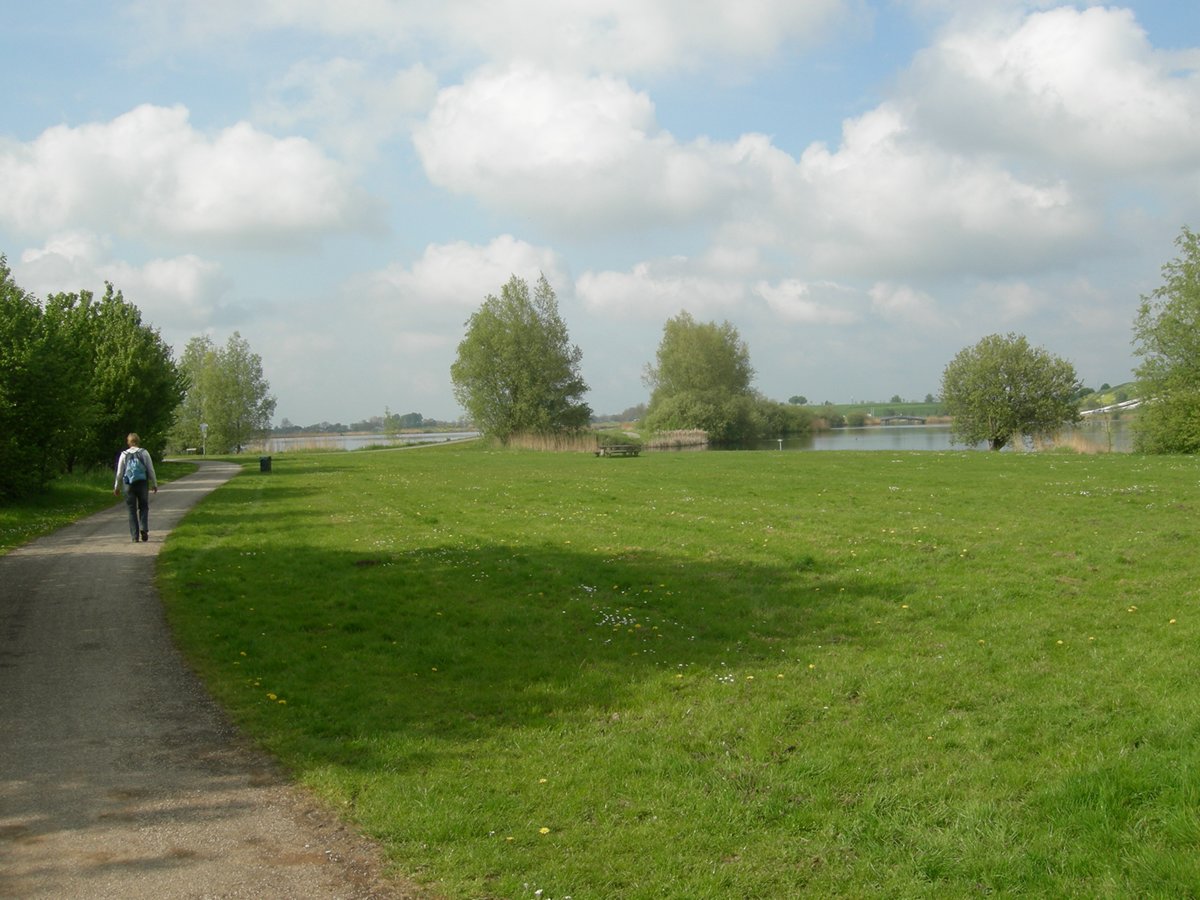 |
||||
| Sunday 26 April
2009, Nieuwegein - IJsselstein - Nieuwegein, 14,1 km We decided to visit family in IJsselstein and take the opportunity to define a route of our own. Starting at the corner Middenweide/Dassenweide in Nieuwegein to the tramstation at the Praagsingel in IJsselstein. Obviously this route takes you trough the suburbs of Utrecht, but there are a lot of nice 'nature' views as well and the historical innercity of IJsselstein is always a nice intermezzo... As the tramstation is hafway this circular route you might take the tram back to Nieuwegein (or Utrecht). However, if you walk this hike clockwise you'll miss the nice views over the 'Nieuwegeinse Plas'.... You can download the track in various GPS formats HERE. |
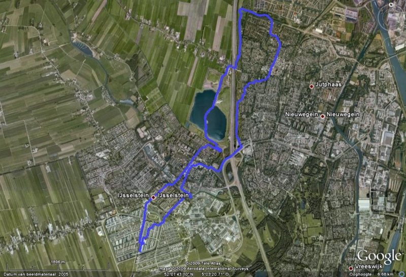 |
|||||
 |
 |
 |
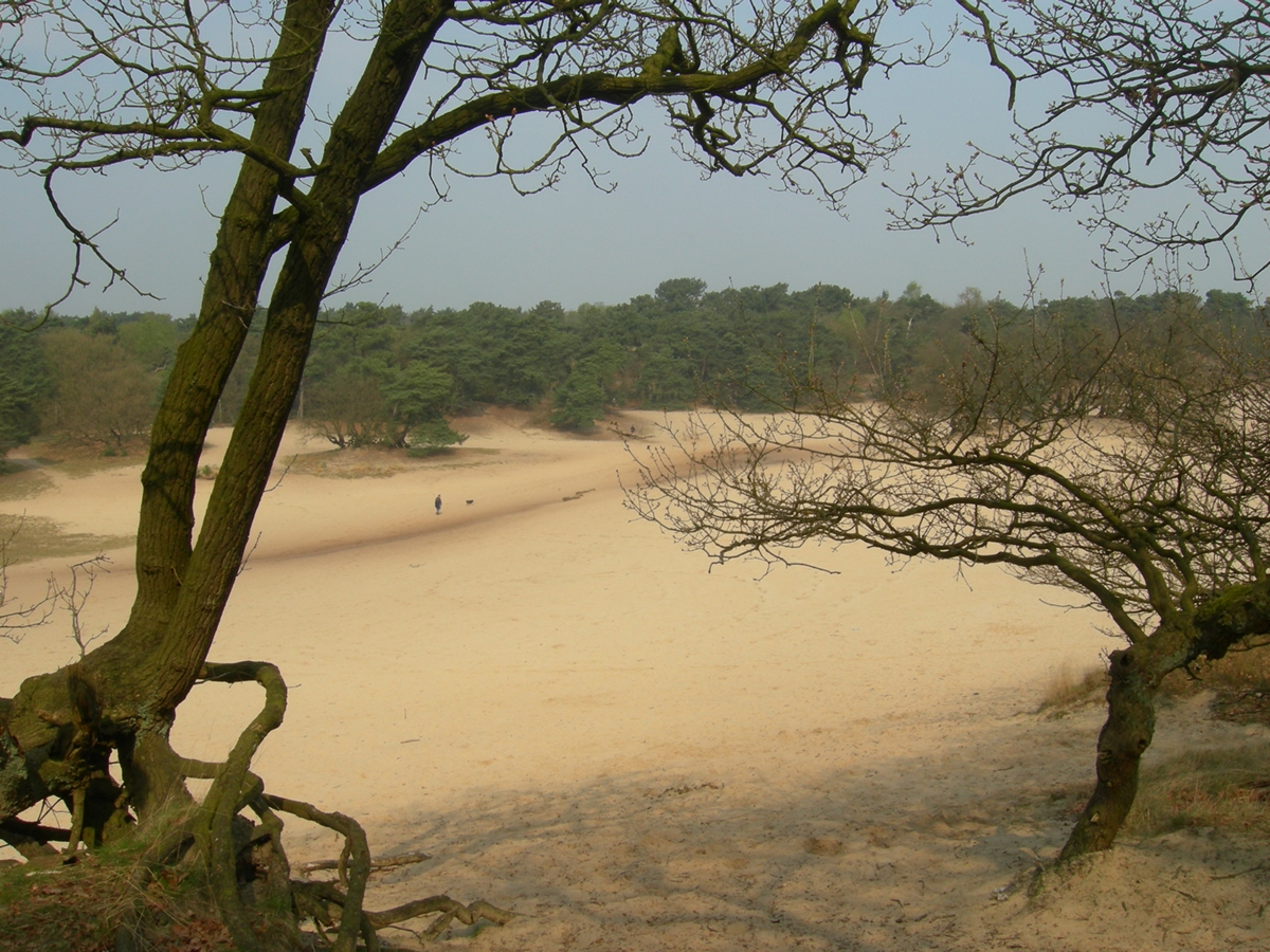 |
|||
| 14 April 2009,
"appetizing hike" Loonse en Drunense Duinen near Helvoirt 6 km,
route by Karen and Marcel ... Brief encounter with a relatively new 'National Parc', hiking through the.sand dunes can be tough...but if the 'tough gets going' your're rewarded with some great sceneries.... We'll be back for more, in the meantime more information on nationaalpark or natuurmonumenten |
||||||
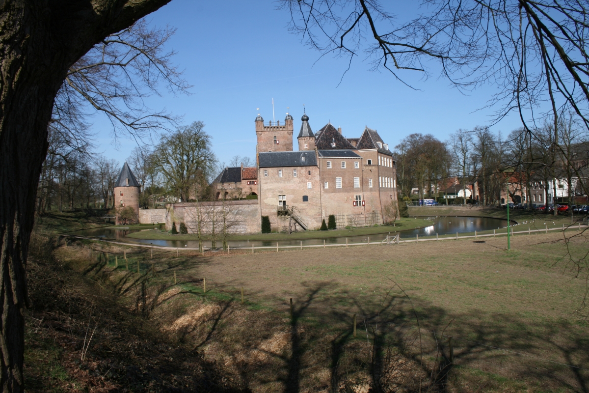 |
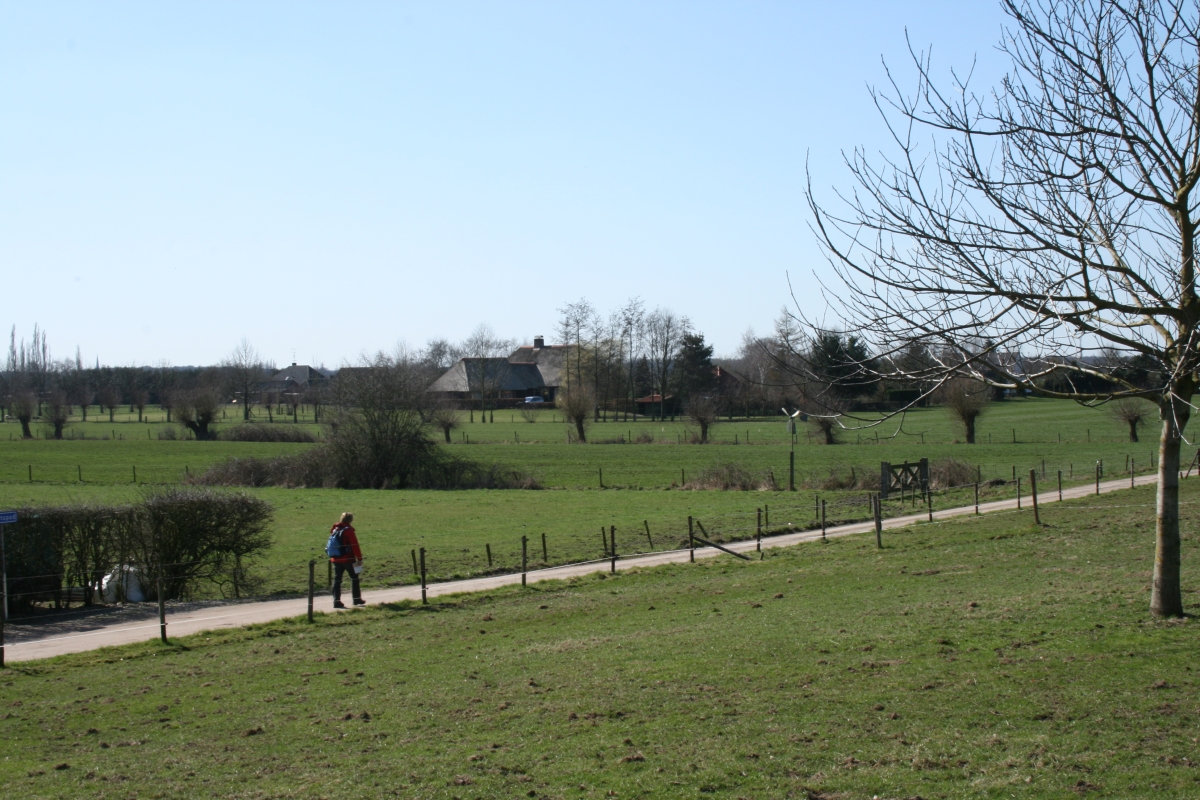 |
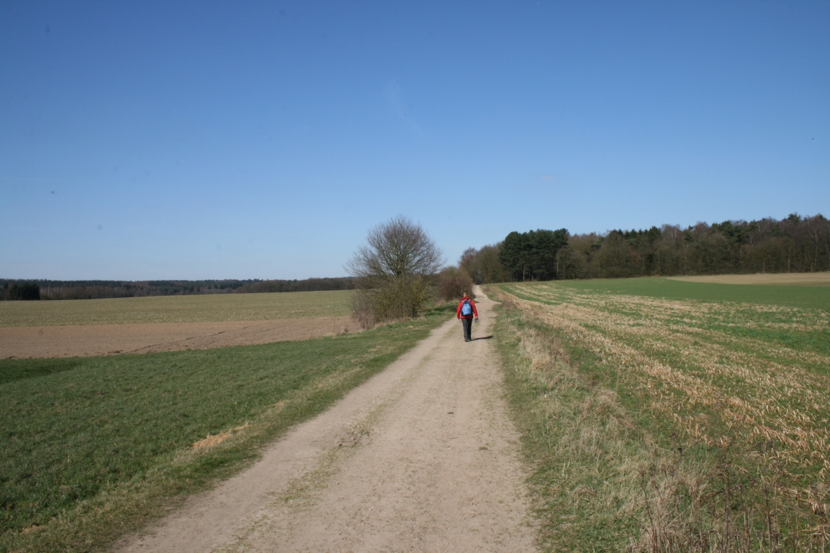 |
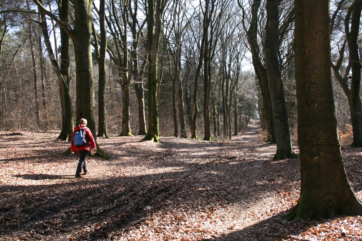 |
|||
| 20 March 2009, 'High Grounds in the
Achterhoek', 's Heerenberg, Montferland, 9 km route 41
Wandelroutebox (Toeractief) Great route, some busy tracks but the 'Castle Huis Bergh', the nice city of ;s-Heerenberg and the height differences of the trail really make this hike enjoyable. Varied as well, open plains and forest scenery... Our GPS-track available for download HERE |
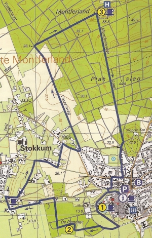 |
|||||
 |
 |
 |
 |
|||
| 19 March 2009, Varsselroute near
Varssel, 10km, route 35 ANWB Wandelrouteboek Nice track, very representative scenery for this part of the Netherlands... Bit too much tarmac and cobble stones for our taste and probably very busy during the holiday season and sunny weekends. And even Golf ranges provide an interesting scenery nowadays... Our GPS-track available for download HERE |
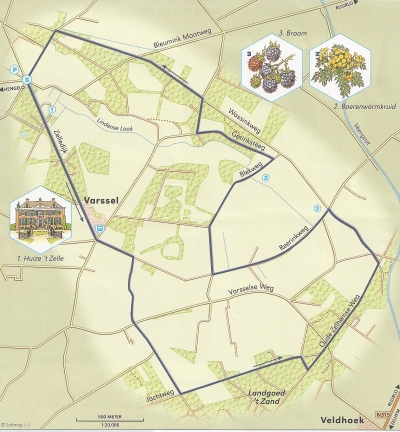 |
|||||
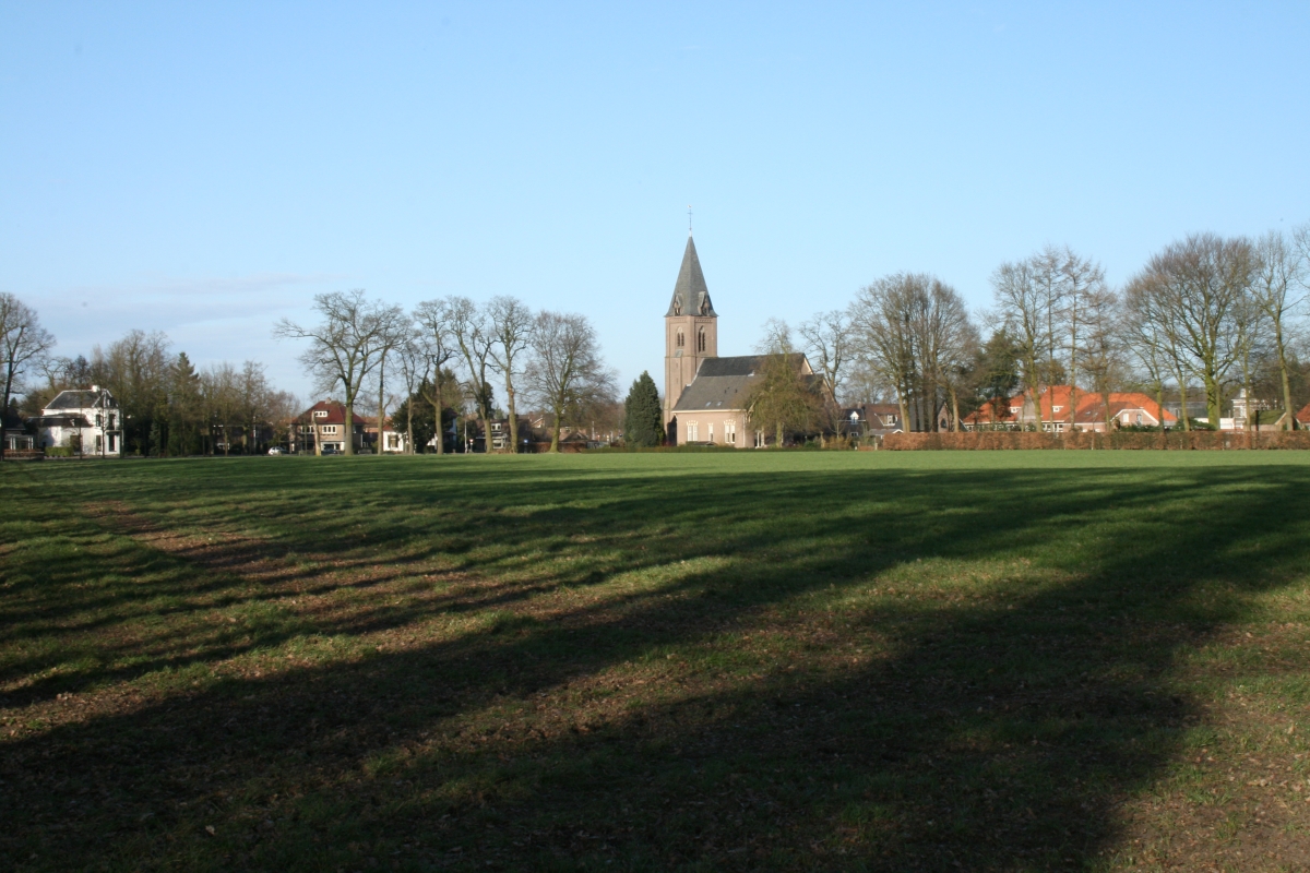 |
 |
 |
 |
|||
| 18 March 2009, Wandering in the
Achterhoek, Ruurlo, 7km, route 37 Wandelroutebox
(Toeractief) Great evening hike starting at at the parking of the railwaystation Ruurlo, but very soon you're wandering through the varied landscape south of Ruurlo. Recommended... Our GPS-track available for download HERE |
 |
|||||
 |
 |
 |
 |
|||
| 17 March 2009, Beekermarkroute,
Loerbeek, Montferland, 7 km, route 36, ANWB Wandelrouteboek
(Vereniging Natuurmonumenten) Highly recommended if you're not afraid of randy and muddy trails and like to do some ascending. Easy to get lost without a GPS but you might be rewarded with some great sights... Our GPS-track available for download HERE |
 |
|||||
 |
 |
|
||||
| 16 March 2009, Achterhoeks Coulissen
Landschap: Aalten to Bredevoort, 12 km, Route 38 Wandelroutebox
(Toeractief) From 15 March 2009 up to and including 21 March 2009 we stayed with our caravan at SVR camping De Biezenhof in Sinderen, in the East of the Netherlands near the German border. During this brief spring holiday we added 5 hikes to our list and this website... Interesting and varied walk, but unfortunately crossing and following a lot of tarmac and busy roads. Still; the 'town of books' Bredevoort is worth your time and the sights near the estate of Walfort can be impressive. |
 |
|||||
 |
 |
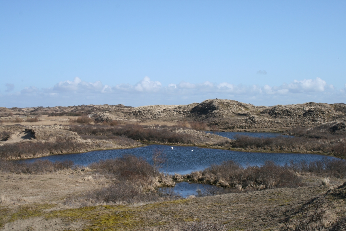 |
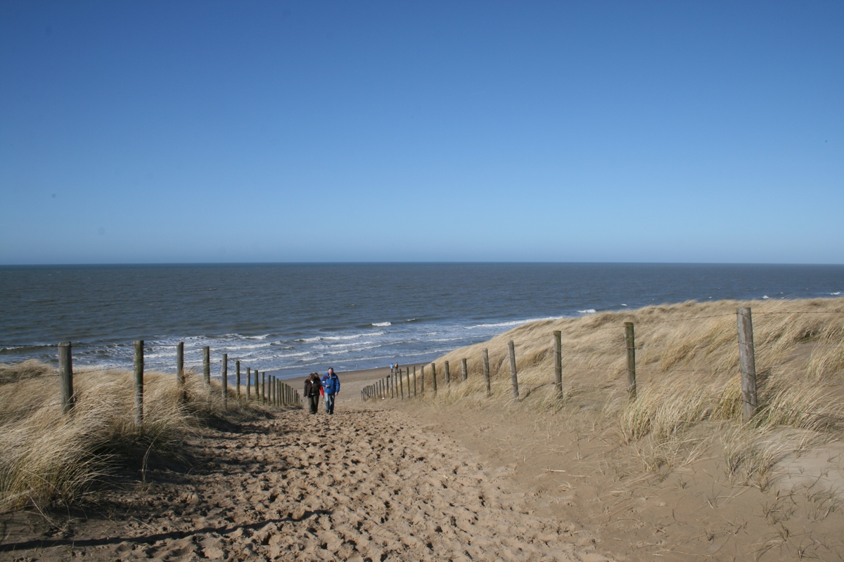 |
|||
| 8
March 2009, Katwijk / Wassenaar 'Struinen door
Berkheide' again through the Dunes of Noord Holland
(Hollands Duin) 12.3 km,
Route 61 ANWB Wandelroutegids Nederland. Nice Sunday hike, between to 'low pressure areas', so incredibly bright skies. Reasonable temperature for March but this close to the North Sea obviously windy... Great varied Dune and Beach scenery, most sandy trail, sometimes even deep sand and quite some height differences; you'll ascent some 240 meters during this hike... Highlights; remains of the Atlantik Wall, beautifull scenery standing on high dunes, micro 'desert' climate on some part of the trail and the remains of old agricultural fields. Less attractive; the route is close to the cities of The Hague, Leiden etc, and so the Northern and Southern parts are relatively 'crowded' on a sunny Sunday afternoon... No problem if you like dogs and their owners... We recorded the hike on our GPS; download the data in various formats HERE |
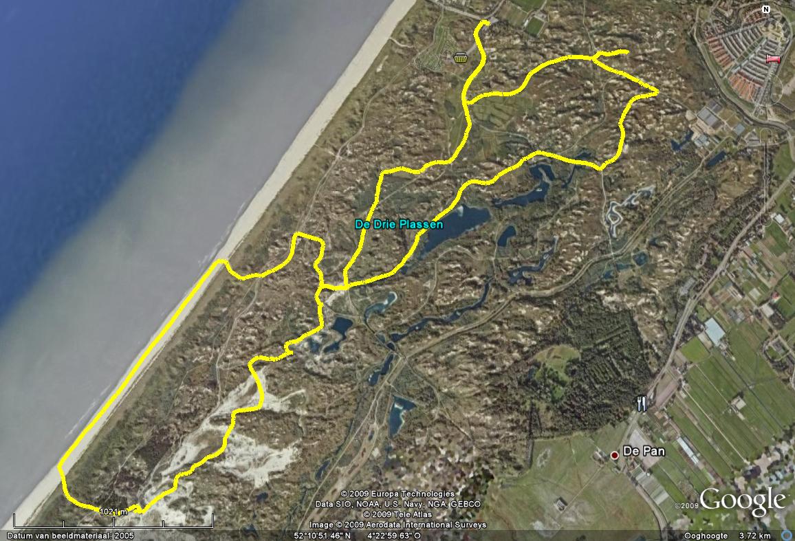 |
|||||
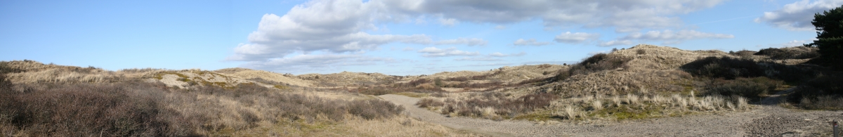 |
||||||
 |
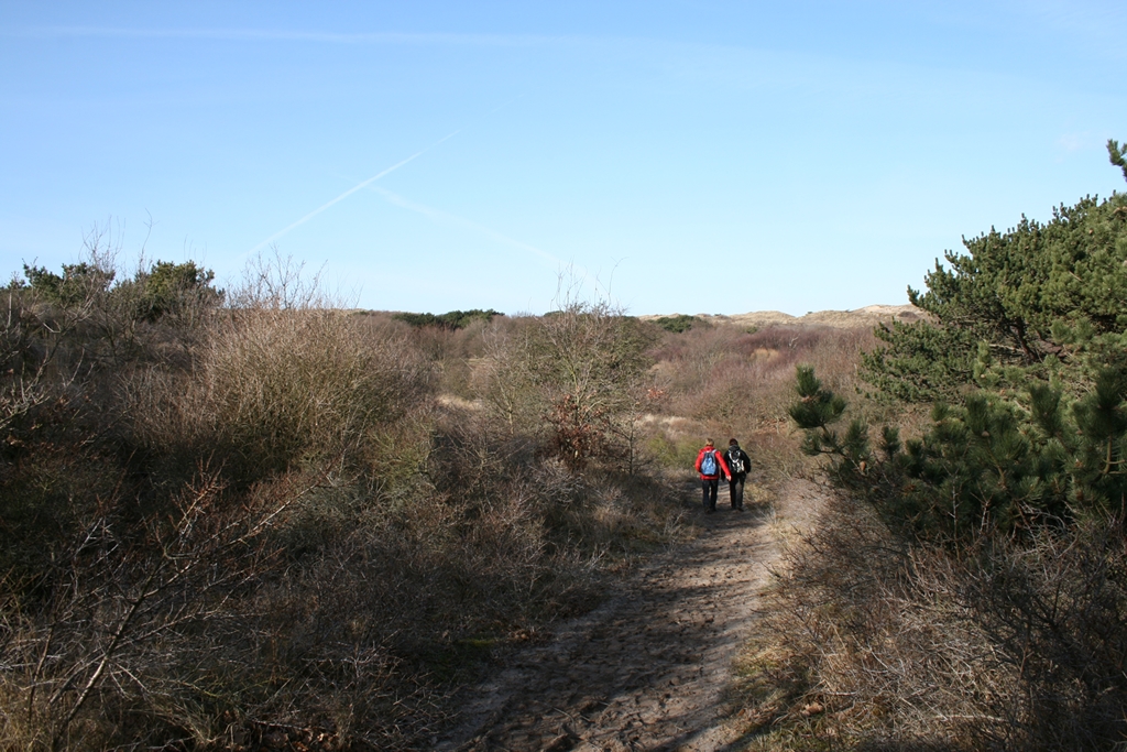 |
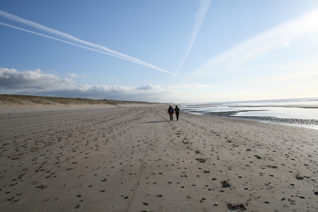 |
||||
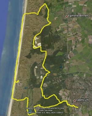 |
14
February 2009,
Castrictum / Bakkum 'Thea & Rob route' through the
"Noord Hollands Duinreservaat' 26.3 km Another winter walk on a very bright February day... Thanks to this route defined by Rob and Thea we smashed our 'Kilomers a Day' record... Very nice and varied trail; sets out from the outskirts of Castricum. The Castricum Railway station nearby might be an excellent place to start, providing frequent connections to Amsterdam and Alkmaar. The track leads you through a varied Dune and Beach landscape, providing ample opportunities for birdwatching as well! Please note that in this 'Dune Reservation' you need to acquire an access ticket before you enter the reservation. More information on the site of the PWN. This organization is collecting drinking water from this area for the city of Amsterdam as you will notice on the way... Great hike, some cobble stones (cycling paths) but most of the way sandy forest or beach trails.. PWN is currently doing a lot of reshaping of the landscape so the scenery is likely to change quickly during the next few years... Note that this area is very popular in the summer, so schedule you visit carefully according to your own preferences (crowded or lonely..). We recorded the hike on our GPS; download it HERE |
|||||
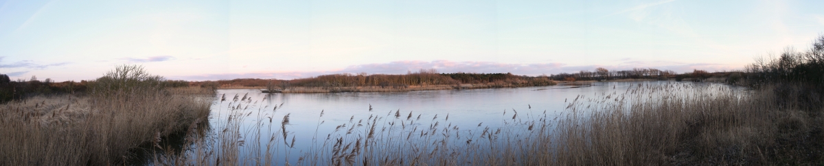 |
||||||
 |
 |
 |
||||
| January 11,
2009, Woudenberg, 'Loofbos en Landgoederen' Route 48
ANWB Wandelroutegids NL, 13,6 km (not 11 km as stated in the
book) Antoher winter walk on a bright January day... Nice track trough several estates (de Boom, Geerestein), passing part of the history military defenseline 'Grebbelinie' and following the Valleikanaal (Valley channel). We hiked on the last day of a relatively long cold (freezing) period so the track which probably can by slipper on parts because of mud now was slippery with ice... We were rewarded however with the sight of deer and - finally - a Kingfisher ('IJsvogel') hunting fish in one of the few remaining patches of open water. According to some birdwatchers we met, there's a lot more of them in the Valleikanaal area nowadays... We recorded the hike on our GPS; download it HERE. |
 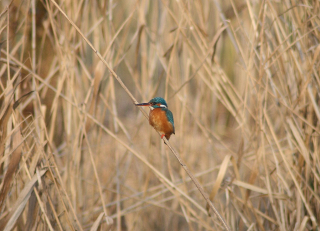 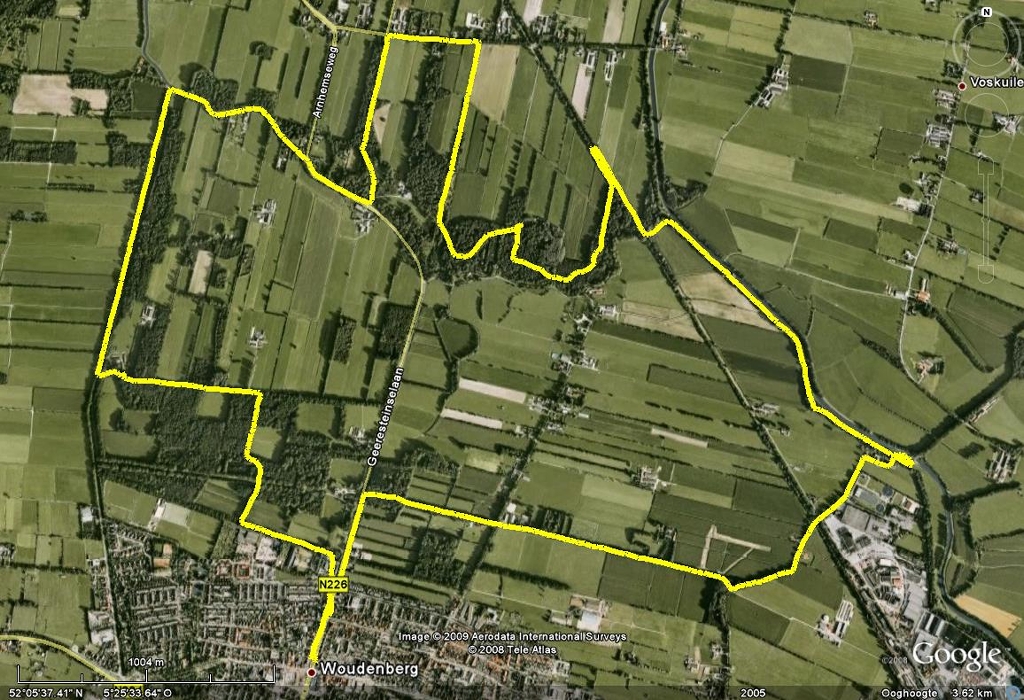 |
|||||
 |
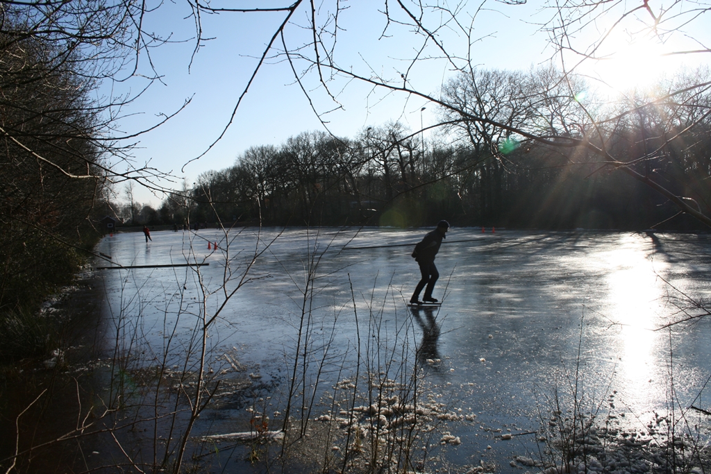 |
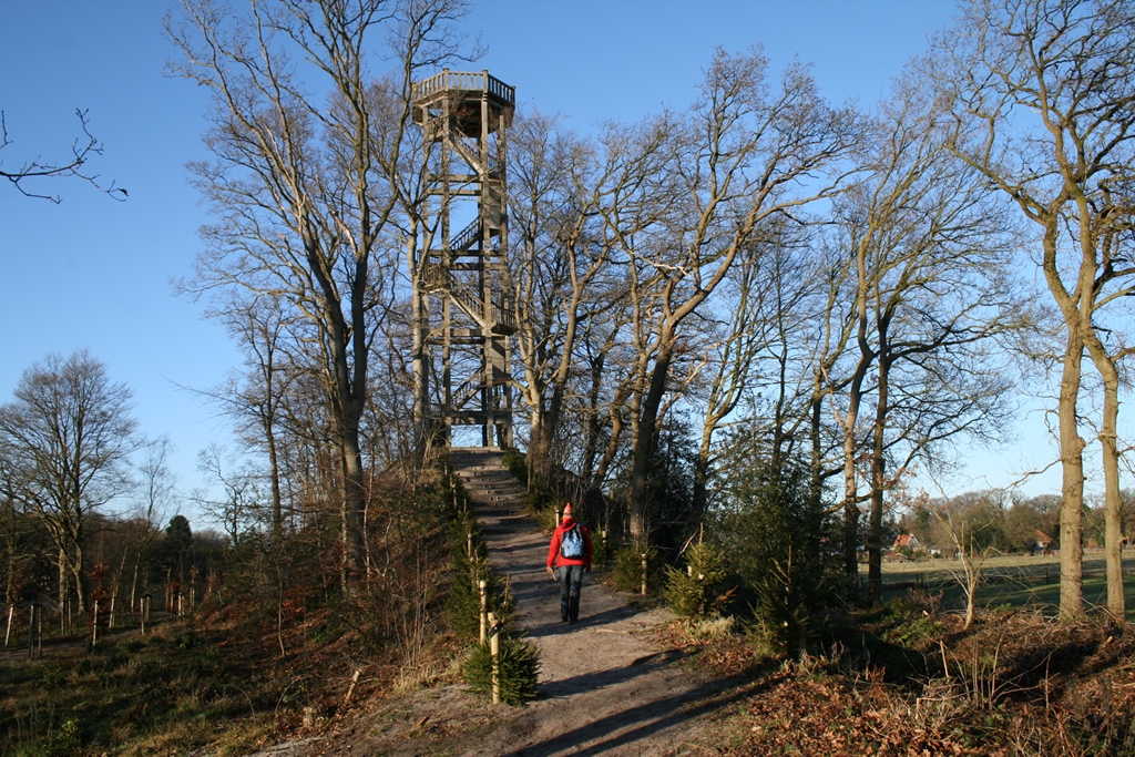 |
||||
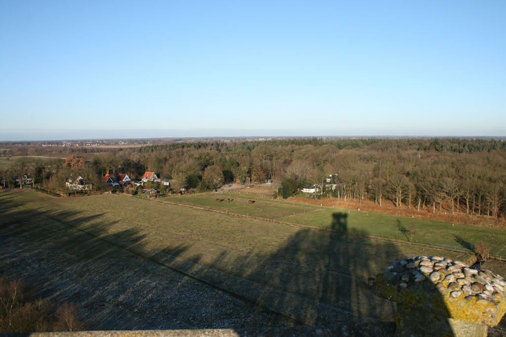 |
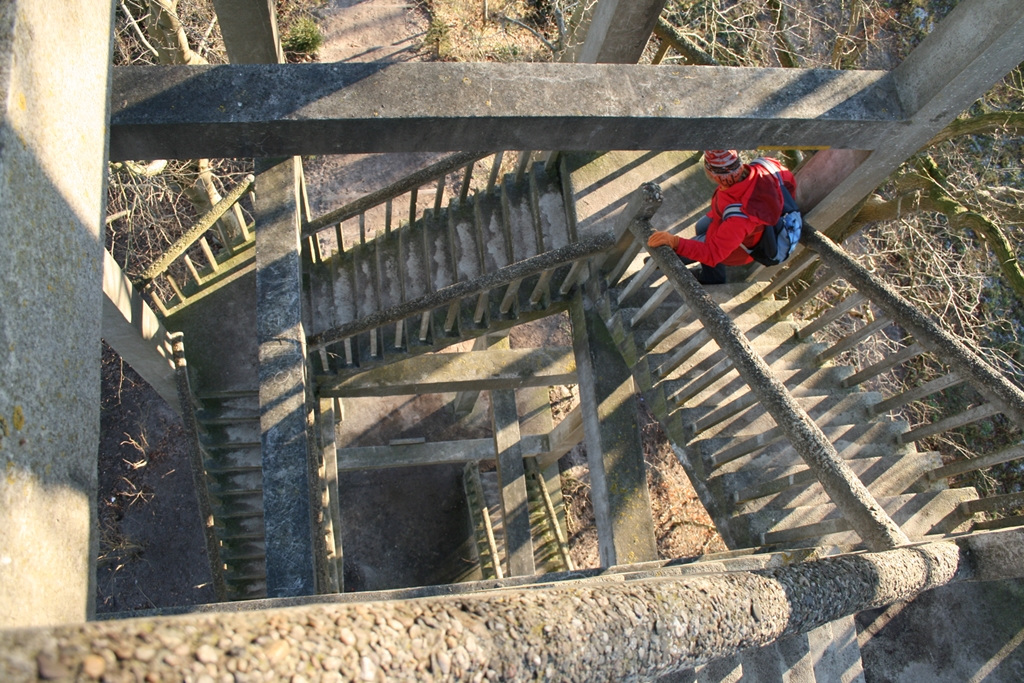 |
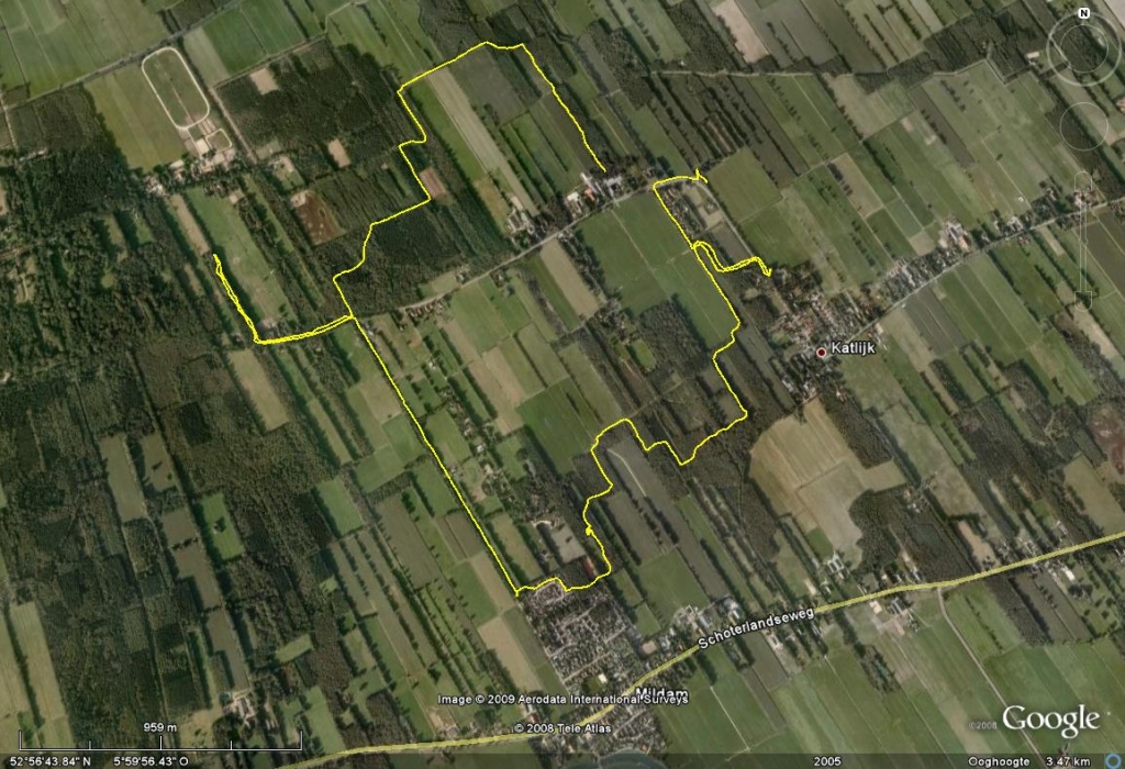 |
||||
| January 2, 2009, 'Weversbuurtwandeling'
near Heerenveen (Fr). Route 3, 10 km Winter walk on a bright January day... Nice track trough an estate which around 1740 was the epicenter of Dutch government. You'll encounter historical names like Oranjewoud, Tjaarda's Bos, Sint Jacobspad . Talking to a local resident we learned that this area is extremely crowded during the summer season, so you might want to avoid that... |
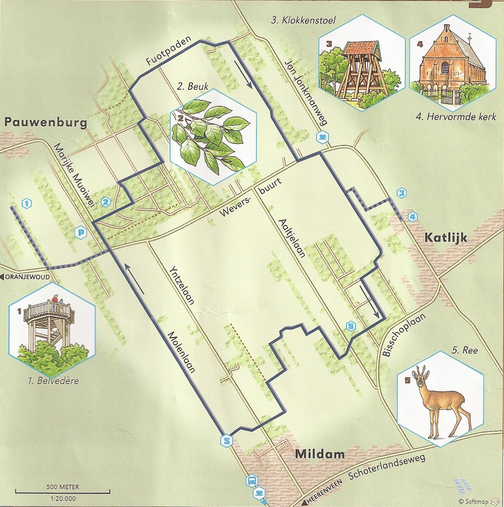 Download
the GPS track HERE Download
the GPS track HERE |
|||||
 |
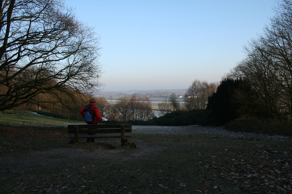 |
|
||||
| December 30,
2008 Oosterbeek wandeling (route 31 ANWB Wandelroutegids
Nederland / Toeractief), 11 km (not 10 as mentioned in the book) Great, varied hike with a lot of 'climbs' (for a Dutch trail). During the walk you'll ascent approx. 140 meters and you'll reach 50 meters above sea level... Which presents you with some great views from a site with an impressive WW2 history (operation Market Garden)... Hence the Airborne Museum which is your recommended start and finish. |
 |
|||||
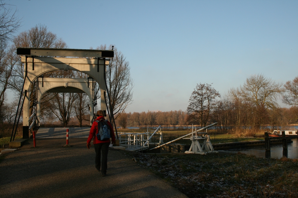 |
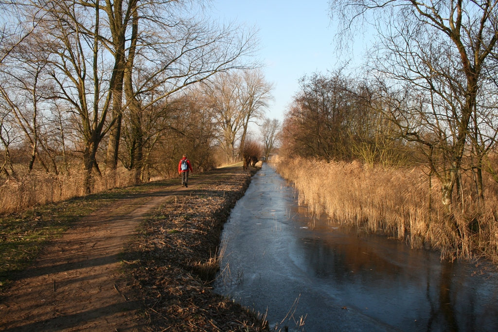 |
 |
||||
| December 28,
2008 Bosbaanwandeling Amsterdamse bos (route 58 ANWB
Wandelroutegids Nederland / Toeractief), 8 km (not 7 as
mentioned in the book)... Remarkably enjoyable walk, only a very small distance from Schiphol Airport and Amsterdam's busiest Business arena ("Zuidas"). Take the planes and joggers for granted and 'decent' below sea level enjoying the birds, the water, 114 small bridges and have a look a the Dachau monument... Download 'our' GPS track if you like...HERE (right click, save as...) |
 |
|||||
 |
 |
 |
||||
| December 14,
2008, Kathedralenbos, Almere,8 km, another fine download from gpstracks.nl Hike around a piece of art: trees planted in the shape of the Reims Cathedral... Apart from that; enjoyable easy hike, reasonably varied.. Track can be very muddy, remember this part of the Netherlands was only reclaimed from the sea about 50 years ago... |
 |
 |
||||
|
|
|
|
||||
| September 19 2008,
'Westerbork Zwiggelte route'
route 15, 16 km (not 10 km as mentioned in the book)... To be honest this route is a disappointment... Although the scenery is great at times, most of the trail is through the village of Westerbork and on the road back from Zwiggelte you're basically following and repeatedly crossing the same busy road with S-shapes movements... However, looking at the scenery and our GPS system you might be able to plot you're own, much more interesting route through this nice area without too much of an effort... |
|
|||||
|
|
|
|
||||
| September 18 2008,
'Stad der Paleizenroute route' (near Assen)
route 11, 5 km... (6.5 km from the free parking place) City walk through the city famous for the Dutch TT (annual motorbike GP). Surprising history and extraordinary buildings once you pay attention to it. Get a route description at the local tourist office to provide you with more insight to make this walk through this friendly town more interesting. |
|
|||||
 |
|
|
||||
|
|
|
|
||||
| September 17 2008,
'Bosberg- en Kraaiheipollenwandeling' (near Appelscha)
route 4, 10 km... This route is not in Drenthe but in the province Friesland in the "Drents-Friese-Wold (forest). Great hike, basically consisting of two separate trails connected together. The western part of the hike takes you next of a busy road, but that's only for 2 km. Near the start of the hike the presence of restaurants is impressive; a result of the presence of various touristic sites... but no worries, the trails in the forest are not too busy... |
|
|||||
|
|
|
|
||||
| September 16 2008,
'Rolder Es route' (near Rolde)
route 12, 10 km Park your car near the impressive 'gothic' church in Rolde and enjoy the 'Hunebedden', the 'esdorpen' landscape as well as some nice moors...Varied walk, worth while although relatively a lot through the villages of Rolde and Balloo... and some 'artificial deviations' to take you through some interesting scenery. Oh... and Rolde is the 'village of the famous Bartje'.... |
|
|||||
|
|
|
|
||||
| September 15 2008,
'Bijvoetpad' (near Borger)
route 13, 13 km... To complete the next five hikes, we spend a week in the province of Drenthe, based on a great 'SVR' camping in Garderen; "de Sparrenhof" Recommended... Nice trail, starting near the 'National Hunebedden Information Centre'. From that moment on we would encounter many, well preserved 'dolmen' sites during our hikes... Interesting places. The trail is varied, not too much asphalt but nice nature trails... You'll need to bring some supplies, only the starting point in Borger provides (many) opportunities to cater.... Mind there are numerous wide open stretches without any shelter, might be interesting if the weather turns bad... And... "Bijvoet" is a herb to prevent sore feet... so this is your chance... |
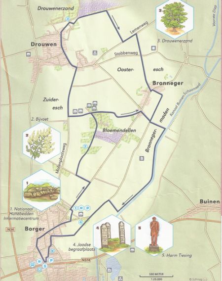 |
|||||
|
|
|
|
||||
| September 6 2008,
'Rondje Hubertus' (near Otterloo)
route 38, 9 km (not 7 km) or 16 km... We parked our car at the West-entrance of the 'Nature Park' 'de Hoge Veluwe', near Otterloo. Note that you'll have to pay an admittance fee to enter the park. Initially we started our hike towards the starting point but at the 'Kr�ller Muller' museum we decided to benefit from the 'white bike' program and cycle to the Visitors Centre. If you don't use this option and walk all the way you'll cover 16 km... The GPS-track is available; click on this text to download in various formats. Both the long way and the 'Hubertus roundtrip' are in the file... Note: the mansion of 'St Hubertus' is not alway open for the public; check by phone or at the entrance of the park if you're interested. |
|
|||||
|
|
|
|
||||
| September 7 2008,
de 'Zanding' (near Otterloo)
Part of the Otterloo route (7 km), modified due to lack of time and bad weather to 5 km... Interesting hike, GPS track available in various formats by clicking on this text. Scenery is great, we called the sand dunes 'sand glaciers' (left picture) and the vertical profile of the hike is very 'un-Dutch'... Sandy and muddy; so waterproof boots recommended and considering the trailmarks we found... it can be busy there... |
|
|||||
 |
|
|
||||
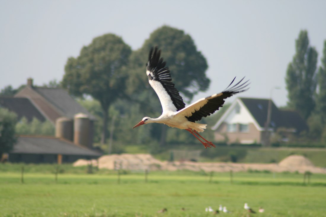
August 31 2008, Hollandse IJssel Vitaal.nl 7 (but actually 9) km Nice walk for a sunny Sunday afternoon. Following the route clockwise you'll start in Haastrecht with a lot of tarmac and cyclist but will be rewarded on the way back with an off road trail and great views over the polder... |
(and both maps are 'clickable' as well this time...) Check out our earlier hike, adjacent to this route February 16, 2008, Goejanverwellesluis (Oudewater) |
 |
||||
|
|
|
|
||||
| August 10 2008, Plagroute
GPS Tracks.nl, 6 km Another great hike found via GPSTracks.nl, especially if you're interest in landscaping... Several meters below sealevel rich farmland full of manure is scraped away and nature is given a chance to develop on it's own in relatively 'poor soil'. The results are impressive; plants, trees and flowers develop into a divers and colourful swamp... Great to compare the (outdated) Google Earth Arial photographs with the situation today. Worth wile, although a little bit short for our taste... However, recommended for a Sunday afternoon stroll... The route is well marked (poles with blue tops) and you better not stray from the path too far to avoid wet feet... or worse... More info on nature development in this province Zuid Hollands Lanschap |
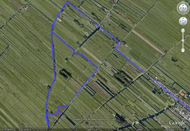 |
|||||
|
|
|
|
||||
| June 29, 2008,
Elsterberg/Egelmeer (nr Veenendaal)
GPS Tracks.nl, 12 km Don't let the pictures scare you, i.e. the middle one... Again great views, a variety of scenery and best of all; almost no tarmac! Recommended! The 'moonlike' scenery in some parts is the result of extensive 'landscaping', bringing back the moor and even 'flooding' the Egelmeer which is not exactly the 'lake' you would expect... Although you'll pass a camping site and some restaurants the route is not very crowded as it does avoid the regular (long distance) paths... Recommended! |
|
|||||
|
'zandgat' Kwintelooijen |
||||||
|
|
|
|
||||
| April 13, 2008, Plantage WillemIII /
Remmerdense heide (Elst, Rhenen),
Utrechts Landschap, 8 km Great views this time again, and best of all; no tarmac and lots of birds singing instead of cars humming! An off road trail taking you (slightly) 'uphill' from the banks of the river 'Lek' to the 'sand excavation site: 'zandgat Kwintelooijen'. The Remmerdense heide (moor) is 'controlled' by the grazing of impressive Galloway deer and offers an easy going, yet sometimes muddy or sandy trail to the forest and the (former) excavation site which is now being turned into an impressive piece of 'nature'. Recommended! Note; the map displays the short route only (3,5 km) |
|
|||||
|
|
|
|
||||
| March 8, 2008,
Aetsveldroute (Weesp),
route 52, 12 km (not 10km) Although the view along this route is often great, a really disappointing hiking route. The first part of the trail (6km) you walk on a busy road along the river 'Vecht'. Things improve somewhat after passing 'Uitermeer', but it's still tarmac (2km) and a very limited view due to the many houseboats. Upon finally reaching the archaeological interesting 'Aetsveldscheweg' it's great again, muddy trail right through the meadows... If you like city walks things improve even more when you reach Weesp, which has an interesting history... On the upside; if your realy interested in history you'll appreciate the 'bastions', 'fortresses' ('Stelling van Amsterdam') and 'bunkers' (WW2) along the route. |
|
|||||
|
|
|
|
||||
| February 16, 2008, Goejanverwellesluis
(Oudewater),
Wat en Hoe wandelgids route 2, 11 km Typical Dutch scenery again, starting on the pavement of the historic centre of Oudewater, but soon becoming and remaining a great, yet muddy trail over the dikes and through the fields between Oudewater, Hekendorp and Haastricht during the first half and subsequently following the tow-path next to the Hollandsche IJssel back East again. Not too many people around, wear waterproof hiking boots and pick the right time of day / weather as the track takes you through open country and there's hardly any shelter available. |
|
|||||
|
|
|
|
||||
| December 30,
2007, Anserdennenroute (National Park dwingelderveld), Ruinen
Route 16, 7 km (not 6) Great trail, starting at the visitors centre dwingelderveld. Worth a visit by the way... Hardly any tarmac, lots of sand and mud :-) and especially enjoyable due to the lack of highway or traffic noise i.e. the silence. Unfortunately very uncommon during walks in the Netherlands... As we like to keep the best for the last moment we followed the track clockwise (opposite to the route shown on the map, but following the white markers enroute). We appreciate open scenery more than forest and the view over the moors is spectacular... Note: it's a popular area, pick the right time of day, day of the week and time of year to make the most of it... |
|
|||||
|
|
|
|
||||
| December 22,
2007, De Laagt en De Hoogt, Maarn
Route 20, WatEnHoe wandelgids, 9 km Great trail, we walked this on a 'frozen afternoon'. You'll probably have to prepare for a muddy trail if the weather is wet and on a sunny weekend it's probably very crowded in this popular area... But it's great if you pick the right time!
|
|
|||||
 |
 |
|
||||
| November 25,
2007, Landgoed Groeneveld. Baarn
Route 15, WatEnHoe Wandelgids Utrecht, 6 km Easy, well maintained trail for a Sunday afternoon stroll...
|
|
|||||
|
Lost the pictures of 'Fort Daatselaar'; December 16, 2007 :-( |
||||||
|
|
|
|
||||
| September
16th, 2007, Nieuwerkerk a/d IJssel
Route 66, Hitlandroute, 10 km Too much tarmac on the footpath and you'll have to walk a considerable distance along busy roads. Apart from that; real Dutch polder landscape, varied with an open park like scenery, some artificial forest and a path through reed as well as some great sights over the river 'Hollandse IJssel'. You'll pass the lowest part in the Netherlands, - 6.74 meter below sea level (Zuidplaspolder)! Select a day not too hot and not to cold / windy as you'll be in the open most of the time...
|
|
|||||
|
|
|
|
||||
| September
9th, 2007, Renkum (Gld)
Not from 'the book'; the Quadenoord Route (Staatsbosbeheer) 7,.7 km Great hike, both from a nature and historical perspective. Various types of forest, open 'moors', 'sprengen' with a WorldWar 2 history and the Quadenoord estate now offering 'African Art' from Zimbabwe... Recommended! |
|
|||||
|
|
|
|
||||
|
July 20, 2007, Haarle Route 25; Sprengenbergwandeling 6 km Walk through recognisable remnants of the ice age... Very easy - almost dull - trail which might become more interesting if you take the (much) longer route crossing the moors (picture 2). The 'Palthe tower', a remarkable villa on a hill provides a welcome diversion. Unfortunately it's private property... |
|
|||||
|
|
|
|
||||
|
July 18 2007, Kloosterhaaar Route 21; Engbertsdijksvenen Heidepad 5 km Area in (nature) development, kind of 'back to the future' situation. Interesting trail, and you can easily extend your hike to more than 20 km! The scenery provides a remarkable clear horizon, at least from a Dutch perspective.. for miles around no manmade structures on the horizon. Interesting also from a historical perspective; it provides an excellent inside in how peat was acquired in the old days an put to good use... Trail can be very muddy and wet and the visitor centre at the entrance seems to be closed for some time already...? |
|
|||||
|
|
|
|
||||
|
July 14, 2007, Regge en Dinkel Route 22; Bornsebeekwandeling 6 km Friendly trail with extensive explanations on history, with partially reconstructed remnants of a castle (Havezate Weleveld), as well as reconstructions in progress to further improve the quality of the water as well as enabling the water- authorities to deal with the increasing quantities. Generally an easy trail, which can be very wet (high grass). Unfortunately part of the hike follows a rather dull, paved road so you might want to wait until dinnertime (less traffic).
|
|
|||||
|
|
|
|
||||
|
July 12, 2007, Haaksbergen Route 23; Haaksbergerveenroute 8 km Nice trail, impressive nature... can be extremely wet and muddy. That's what you get hiking through ancient moor country where you can literally smell the peat. The route takes you partially along the German border and the wildlife is abundant... There are a lot of opportunities to extend your route, even into the German 'Naturschutzgebiet' adjacent to this area. |
|
|||||
|
|
|
|
||||
|
July 7 2007, Nijverdal Route 24; Twilhaarwandeling, 7 km After parking near the hotel/restaurant and 'visitor's centre' (Sallandse Heuvelrug) and peeking inside this impressive centre you've got the message; this can be a very busy and crowded place... Luckily were there around dinnertime in marginal weather so we had a quit walk trough impressive terrain. Even spotted some deer! Easy trail, slight slopes, most sandy and not crossing any tarmac!
|
|
|||||
|
|
|
|
||||
|
May 6, 2007, Heerde (south of Zwolle) Route 31; Tonnenberg- en Rekenkamer 12 km In the northern part of the 'Veluwe', the largest 'nature park' in the Netherlands you'll find the freely accessible 'Zwolse Bos'. The varied walk (lot's of sandy or muddy trail) takes you past geo-landmarks like 200.000 years old ice-age remnants (ground pushed forward by glaciers...) some wildlife and lots of moor land. Although some mountain bike trails cross your path it's a relatively quiet area and enjoyable hike.. |
|
|||||
|
|
|
|
||||
|
April 9, 2007, IJsselstein (UT) Kromme IJsselroute, 10 km Hidden in the 'green heart' of the Netherlands, adjacent to the busiest highway in the Netherlands; a remarkable hike in extremely varied and sometimes surprising scenery. Meet the river Lek, the Kromme IJssel and the Hollandse IJssel! The hike takes you from new suburbs of IJsselstein (Zenderpark) to the 13th century IJsseldam, surprising (and sometimes very wet and muddy) IJsselbos (forest). A visit to the old city of IJsselstein is recommended! |
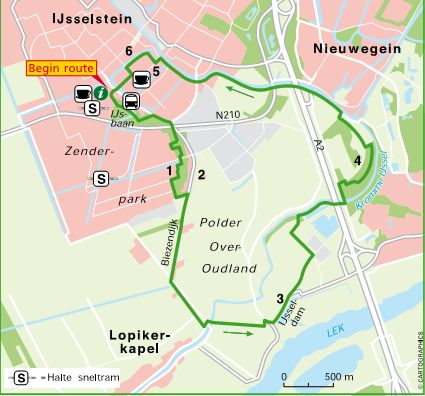 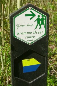 |
|||||
|
|
||||||
|
March 11, 2007 Route 43, Grechtroute, 12 km This hike takes you through the 'green heart' in the busiest area of the Netherlands; the 'Randstad'. A varied walk through a 'flat' countryside, well below sealevel... Although some of the paths are paved, the route takes you through potentially very muddy and wet fields too, so waterproof hiking boots are recommended...
|
|
|||||
|
February 4, 2007 Route 51, Bommelsteinroute, 10km Just south of Amsterdam, near the Ankeveense plassen, Nederhorst den Berg and Nigtevecht. Easy trail, might be muddy were the route crosses open fields, but most of it so paved. Not our #1 choice as a lot of the trail is on paved and city roads. However, if you're interested in history you'll defenitely be interested in how and when these large lakes were created. The route is named after the residence of a famous Dutch comic figure; 'Heer Bommel' as a beatiful castle is very close... Too bad it's not part of the route... |
 |
|||||
|
October 2, 2006 Route 76, Cadesand wandelpad en Wallenroute (Cadzand-Bad), 17 km Now here's a challenge... No, not the walk, but the journey to get there... Best reached via Belgium, but on the other hand it's a great excuse to go through the 6600 meters long 'Westerschelde tunnel'. Most of the walk is easy; stones, shells, feeding grounds....The Wallenroute is interesting from a historical perspective, the rest of the trail is aiming at impressing you with great scenery, both land and sea... as well as 'Het Zwin' in between. To be honest, we didn't complete the entire walk due to severe thunderstorms underway...
|
|
|||||
|
|
||||||
 |
||||||
 |
 |
 |
||||
|
October 1, 2006 Route 73, Patriciers- en Piratenroute (Zierikzee), 5 km Easy city-culture-historic walk, offering great views, especially when you take the opportunity to climb the ?St. Lievensmonstertoren? which obviously requires climbing some stairs? Apart from that there is the maritime museum, the mustard factory, the city gates and the ?old harbour? - in which some excellently maintained ?old vessels? reside ? to keep you occupied along the way? Note the photo of the Zeelandbrug was also taken from the Lievensmonstertoren! |
|
|||||
|
|
||||||
|
Route 72, Ringroute (Dreischor), 3 km Short village trail, taking you through
the village Dreischor, which is a very well conserved
village, build in a perfect circle around the village
church. Note the Adriaanskerk (church), the restored mill
(Aelolus), the barns with black tar and do visit the local
museum ?Goemanszorg? which provides excellent insight in
life in |
|
|||||
|
|
||||||
|
September 30, 2006 Route 74, Schuilhuttocht 11 km
This is probably a candidate for our personal top 3! Strongly recommended? Great ?Staatsbosbeheer? walk, extremely varied landscape, intelligently planned hiking trails, well marked and relatively quit. Physically fun but challenging (sometime deep sand, and going up and down?. ) and always the sound of the rushing waves in the distance... |
|
|||||
|
|
||||||
|
September 29, 2006 Route 75, Mondriaanroute, 5 km
|
||||||
|
|
||||||
 |
 |
 |
||||
|
August 17, 2006 Route 61, Natuurpad Piet Floris en Kachelduinwandeling, 8 km
|
|
|||||
|
|
||||||
|
|
|
|
||||
|
Route 39, Planken Wambuis route, 8 km Easy walk through a varying landscape of open forest, forest with a lot of undergrowth (under development, to provide shelter for approximately 150 deer) and nice moor. Close to Ede (close to the exit Oosterbeek on the A12). Sandy trail, well marked (just follow the yellow dots) and although it's a very touristic area, once you're away from the parking there's not to many people around, only 'wild' horses who do much of the maintenance. |
|
|||||
|
|
||||||
|
|
|
|
||||
|
July 18, 2006 Route 46,Stulp- en Kasteeltuinwandeling, 5 km Easy walk through a varied landscape near Lage Vuursche. It gets you very close to a castle of the Dutch Royal Family 'Drakesteyn'. Forest, moore, sanddunes and small pools. We actually saw a snake hunting in there! We hiked this train on a very hot 'working' day (34 C), not too many people around. During the weekends this area is very touristic and crowded. |
|
|||||
|
|
||||||
|
|
|
|
||||
|
June 24, 2006 Route 41, Nederhemert-Zuid Router, 4km Short and very easy walk in a historical setting and a very varied landscape. Mind you, when the weather is bad, do wear waterproof boots, trail can be muddy then.. Interesting historical background information available, not very widely known, even in the Netherlands... If you like you can combine this hike with some canoe work... |
|
|||||
|
|
||||||
|
|
|
|
||||
|
January 15th, 2006 Route 27, Schoklandroute, 10 km Relatively easy walk in a historical relevant around Schokland, which until early in the 20th century was an island in the 'Zuiderzee'. It can still be recognized as such, although it is now surrounded by 'the new land' of the Noordoostpolder. Rightfully an area of importance recognized by Unesco. We used a small plane to have an initial look from above, followed by the actual walk... An easy trail, but due to the many interesting and significant landmarks it will most likely take you more than the regular 2 hours for an 10 km trail... |
|
|||||
|
|
||||||
|
|
|
|
||||
|
December 4th, 2005 Route 49, Dudokroute, 9 km City walk through the town of Obviously an easy trail, well marked... Remember, if you pick up the leaflet describing the Dudokroute in the 'Dudok Centrum'... this does NOT show the same route as described in the ANWB-book... |
|
|||||
|
|
||||||
|
|
|
|
||||
|
Route 93, Rietbeek- en Houtsbergroute, 14 km Great combination of 2 routes, very varied, open and sometimes forest again. Even passing a day recreation area, several fens, wild horses, rare birds and very rare plants. Great hike! The route starts and ends at the Limburgs Openluchtmuseum Eynderhout which was unfortunately closed (off season) when we walked this hike. Easy trail, very well marked, no significant climbs... As you pass several trails frequently used by farm traffic, waterproof boots are recommended. There's an excellent birdwatchers cabin next to the lake 'De Banen' which is worth a stopover, even if your not into bird watching yourself. |
|
|||||
|
|
||||||
|
|
|
|
||||
|
Route 96, Mariapeelroute, 9 km To be honest, as you can find out when studying the photo's, we didn't see a lot during our walk. It was a cold (2? C), misty day. However, the scenes we saw were worth while anyway, especially if you've just read a book about swamp ghosts and... get lost so you walk 12 km i.s.o. 9... The scenery is basically the result of the activities of farmers who did a lot of peat - digging to survive in the old days... Easy trail, some parts obviously wet. Following the trail marks proved to be a challenge, the route is a combination of several other routes and crossed by long distance trails as well.. Anyway, worthwhile; very varied, some parts open, some parts forest.... |
|
|||||
|
|
||||||
|
|
|
|
||||
|
Route 53, Muiderbergroute, 10 km Circumnavigating the Noordpolder
and Beoosten Muiden,
East of A hike over unpaved roads, sometimes wet
and slippery, great scenery. Look for a nice day, it's very
open terrain all the way, without a lot of shelter. Take
your binoculars and waterproof hiking boots... The 'Graaf
Floris V' |
|
|||||
|
|
||||||
|
|
|
|||||
|
Route 28, Lange Zeewolderroute, 8 km In the reclaimed land, where once was the
' Free parking and in spite of the great weather and a number of camping and recreational sites nearby, not too crowded... Just make sure you have waterproof shoes or boots, the whole route takes you on unpaved roads and trails which must be quite muddy when wet. |
|
|||||
|
|
||||||
|
|
|
|||||
|
Route 48, Westbroekroute, 12 km Great route just north of Scenery varied and spectacular. Free parking. Although most of the route is 'hiking only' during weekends parts of the route (Tienhovens canal) are crowded with cyclists. Passing the villages of Tienhoven, Oud-Maarsseveen and Westbroek offers opportunities for food and shelter, but can be crowded as well. |
|
|||||
|
|
||||||
|
|
|
|||||
|
Route 44, Kaapse Bossen, 11 km Easy, but hilly trail near Doorn in the National Park 'Utrechtse Heuvelrug'. A little bit too much tracks and trails for our liking. Can therefore be relatively crowded (day recreation area). Advise; walk in the early morning, weekdays or somewhat 'rainy' days... Scenery nice, but not spectacular. Parking is free and even on busy days there is enough parking space available. Trail might be muddy when wet... Note: end 2005 all routes in this area are scheduled to be changed... |
|
|||||
|
|
||||||
|
|
|
|||||
|
Route 37, Kammenroute, 5 km Short route, easy but hilly trail in the 'Dutch mountains' near Rheden in the 'Veluwezoom'. Well equipped visitors centre and numerous opportunities for a meal, drink or snack along the way... Great scenery, beautiful moors but avoid the weekend and holidays as it might be crowded on parking places and trails. Trail might be muddy and slippery when wet...
|
|
|||||
|
|
||||||
|
|
|
|||||
|
Route 50, Boekesteynroute, 6 km Easy trail, sometimes muddy and slippery
if wet, trough three historical country estates i.e. Schaep and Burgh, Bantam and Boekesteyn. The parks were founded
around the year 1600 and represent an interesting piece of ' Some parts are (deliberately) left to nature, some are being well maintained and cultivated which is the basis for an easy but interesting walk through a varied landscape... |
|
|||||
|
|
||||||
|
|
|
|
||||
|
Route 45, Leersumse Plassen-route, 7 km Easy trail, well maintained. |
|
|||||
|
|
||||||
|
|
|
|
||||
|
Route 100, 'Gulpdalroute', 6 km Beautiful, very divers landscape, 3 steep climbs and descends which can be slippery... |
|
|||||
|
|
||||||
|
|
|
|
||||
|
October 12th, 2004 Route 98, 'Rond de Riesenberg', 9km Limburg, near Cadier en Keer and Gronsveld Historic trail, can be slippery when
rainy... great views of |
|
|||||
|
|
||||||
|
|
|
|
||||
|
Route 99, 'Gerendalroute' 6 km Great scenery, unique in the
|
|
|||||
|
|
||||||
|
|
|
|
||||
|
Route 42, 'Bloklandroute', 8 km First part (starting from the Tiendweg in Montfoort to the east) is great, final part is rather busy with traffic... |
|
|||||
|
|
||||||

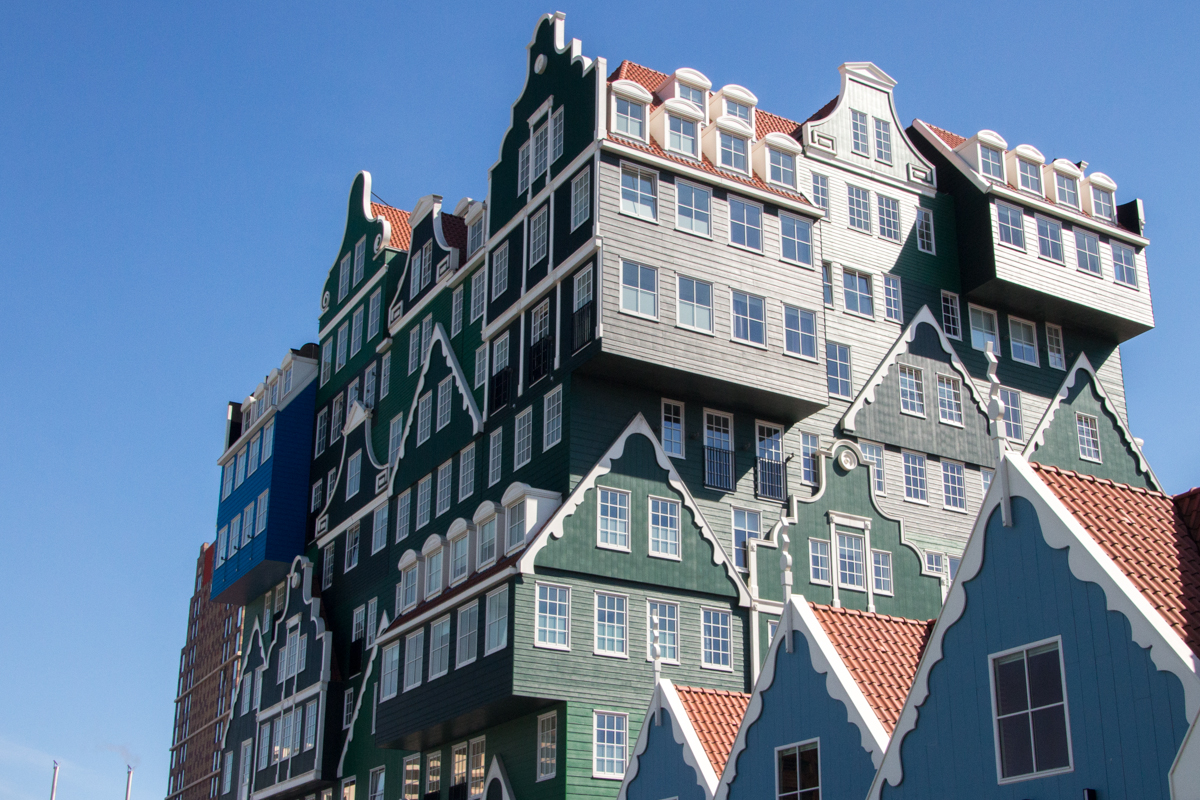
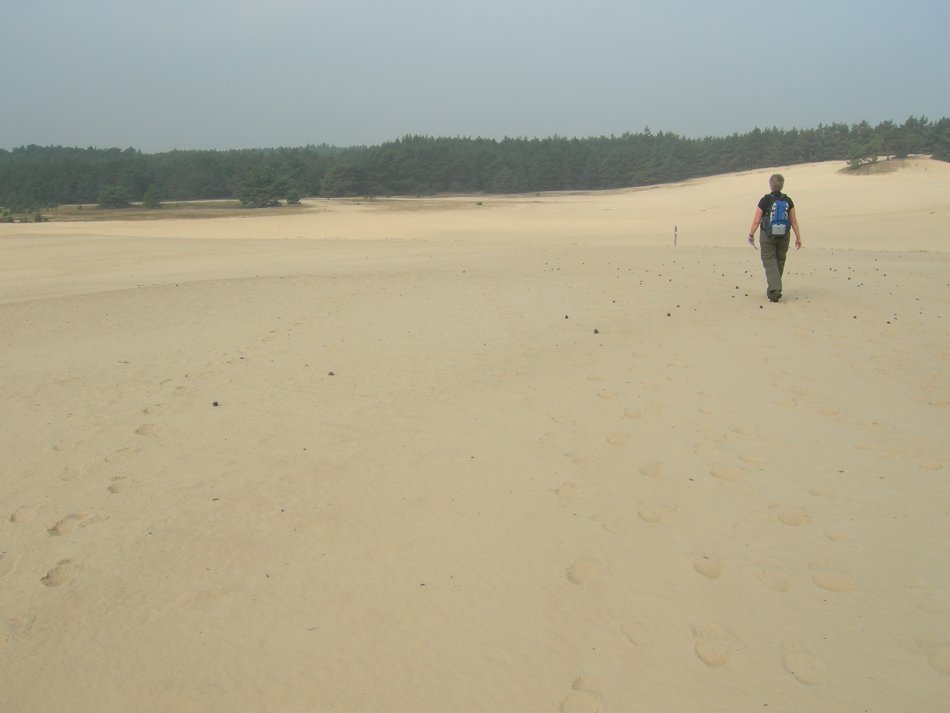
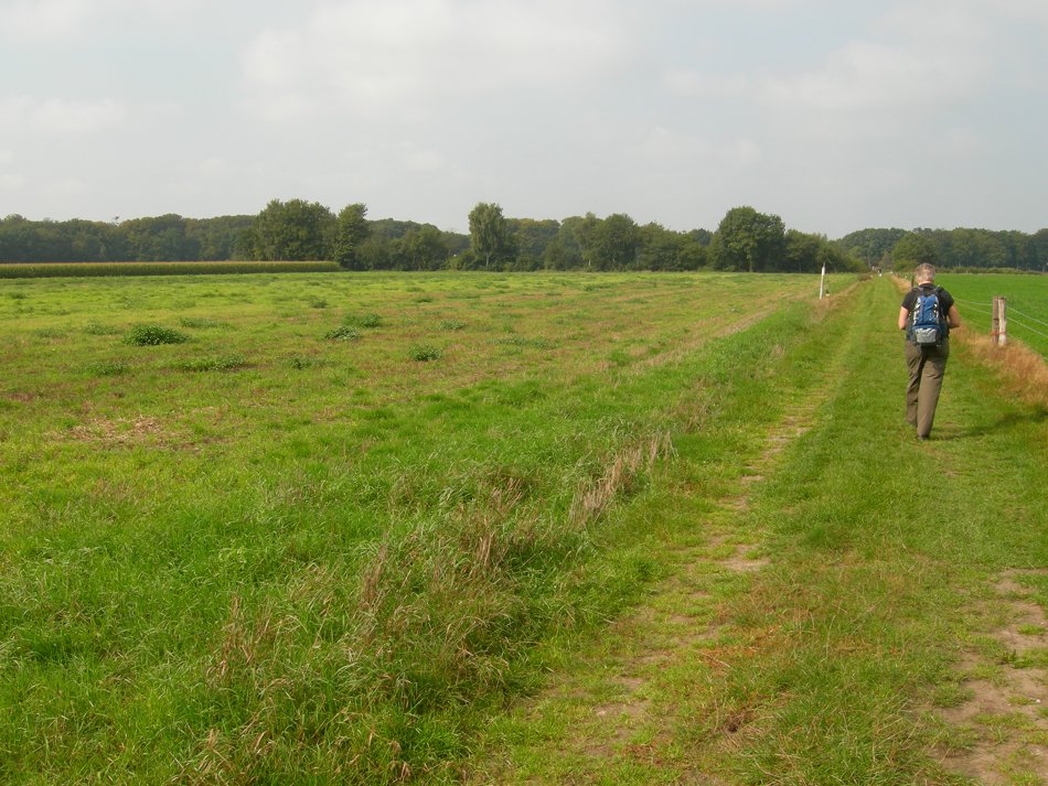
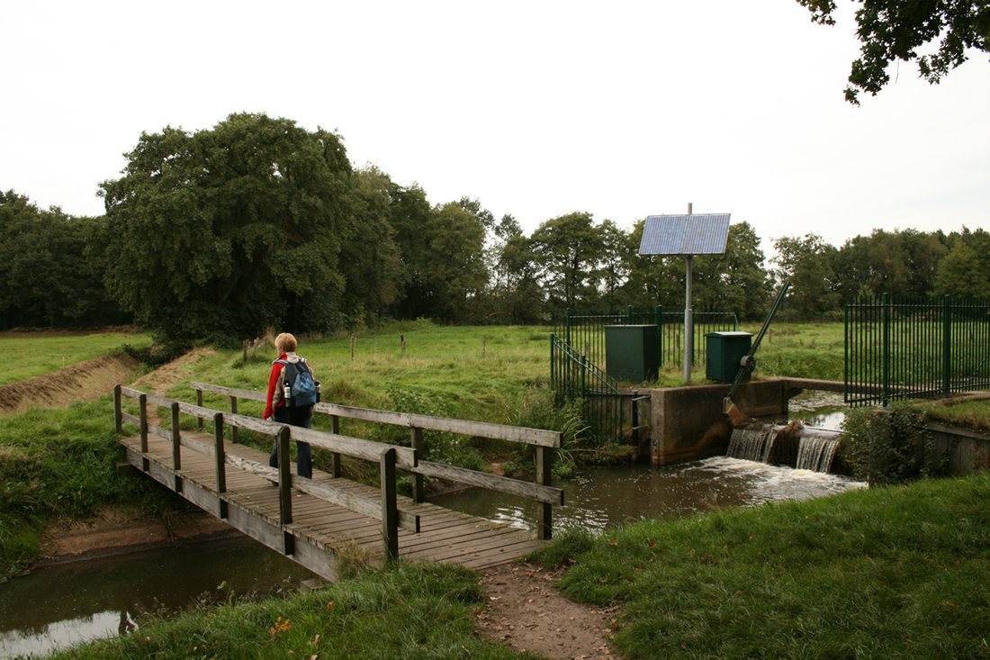
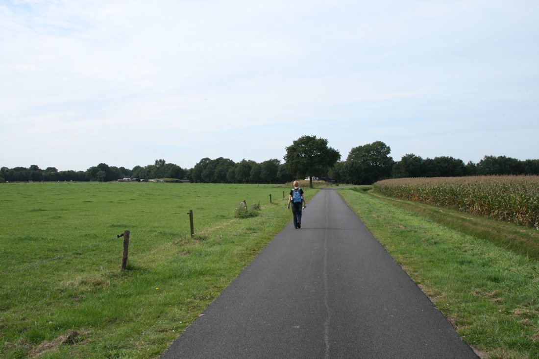
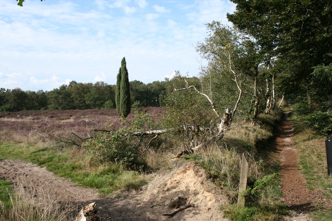
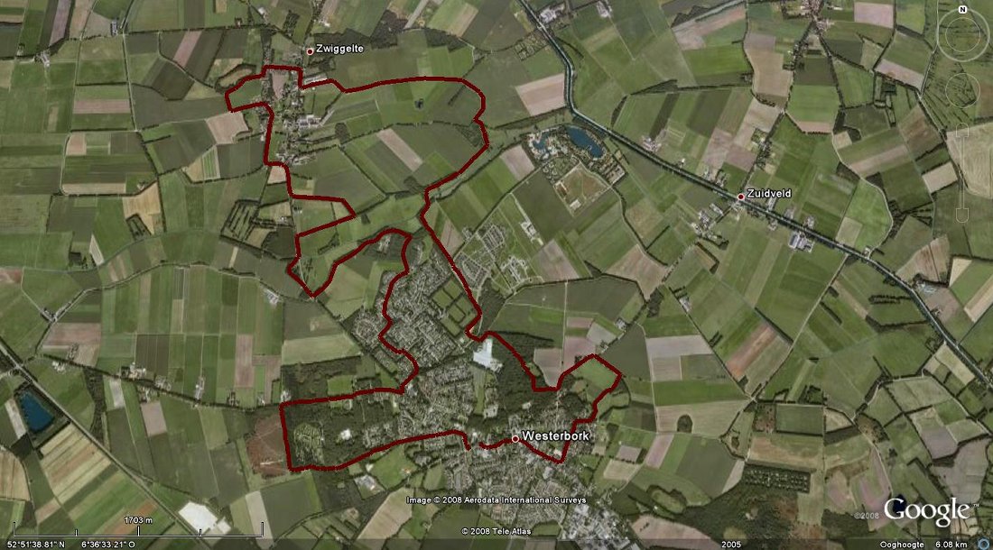
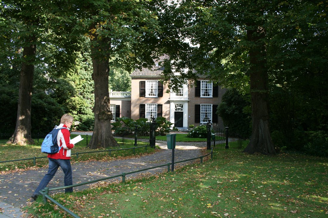
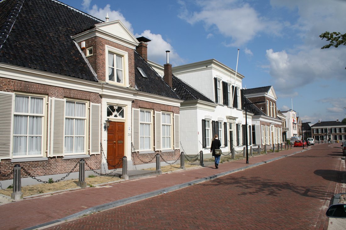
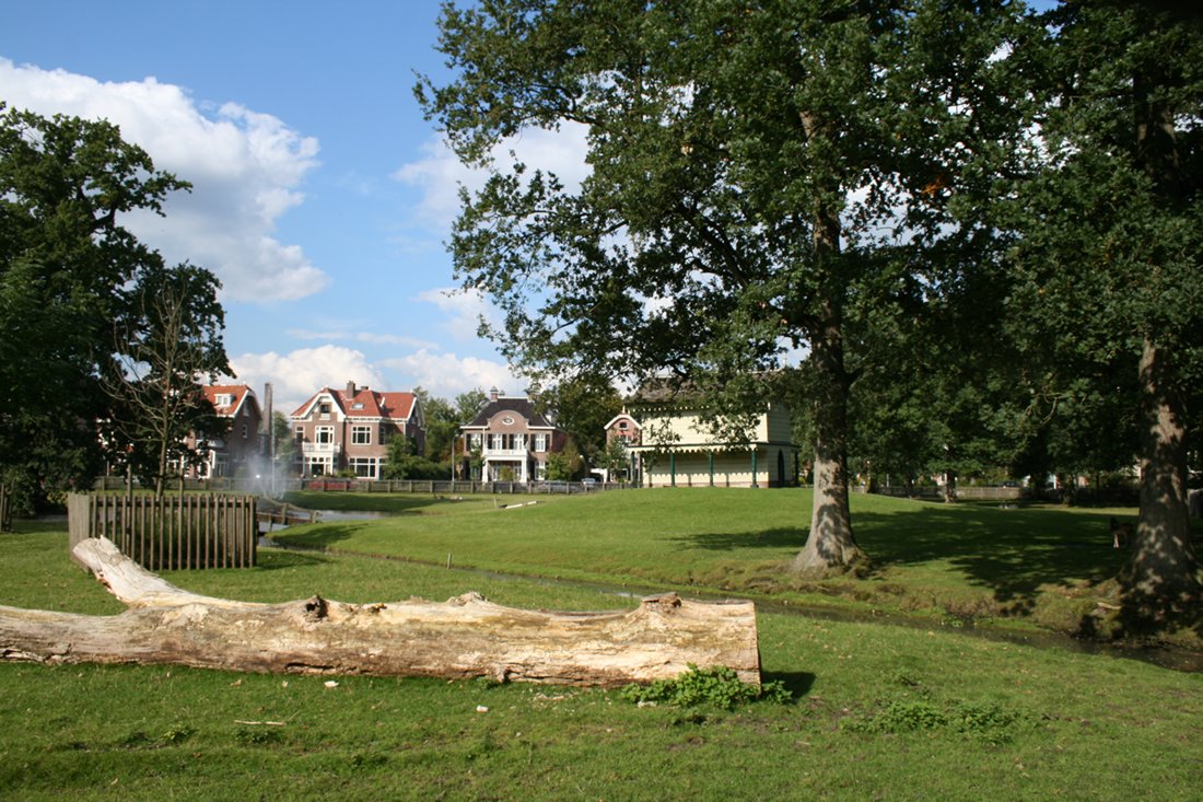
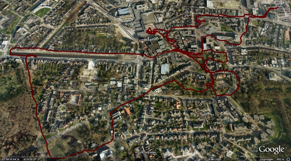
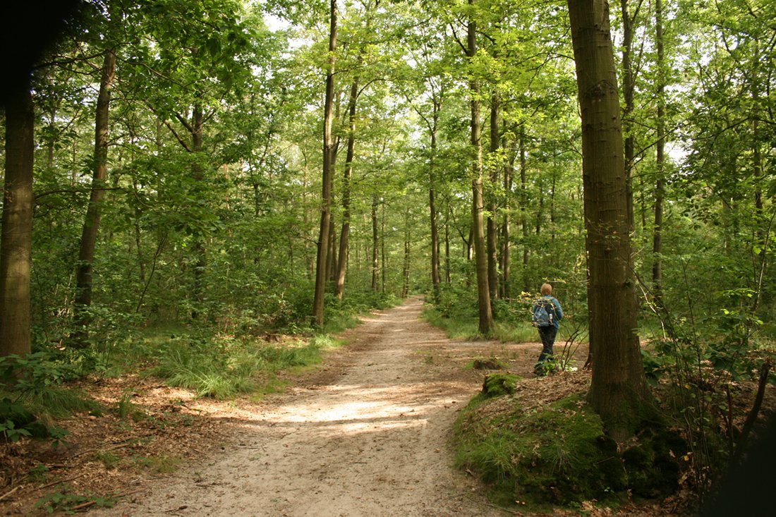
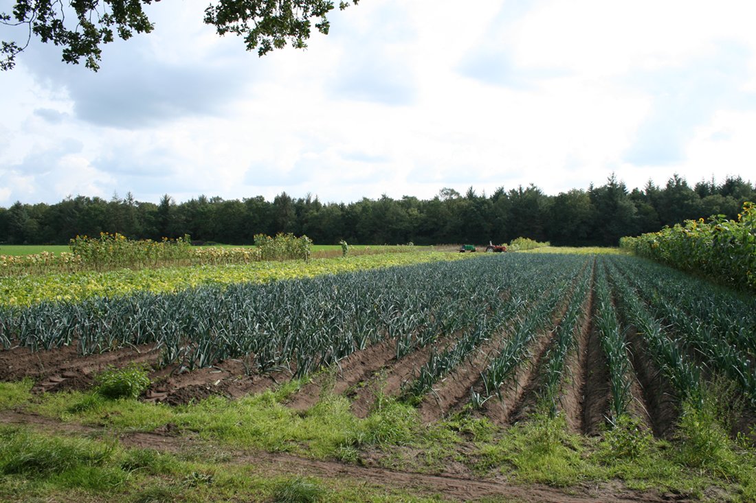

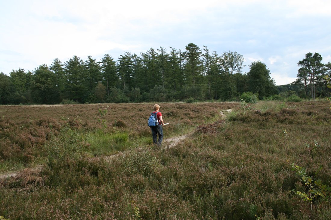
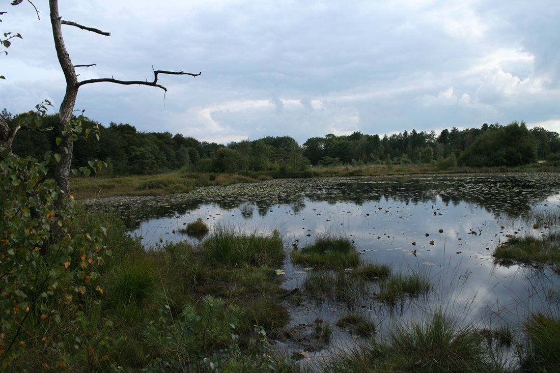
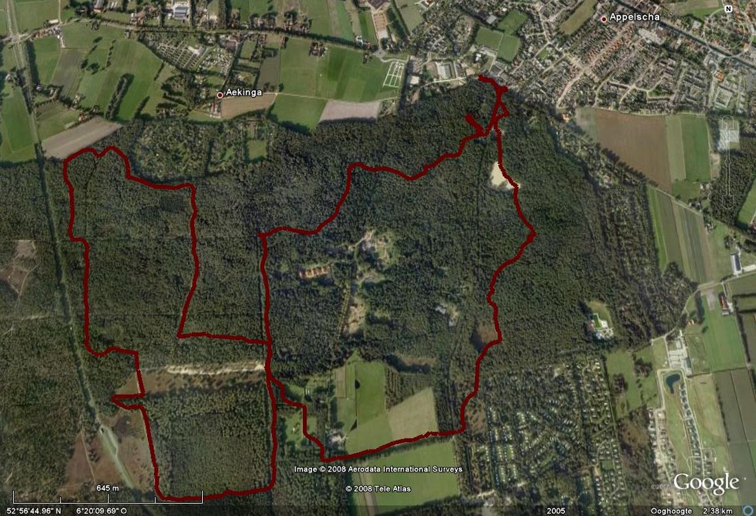

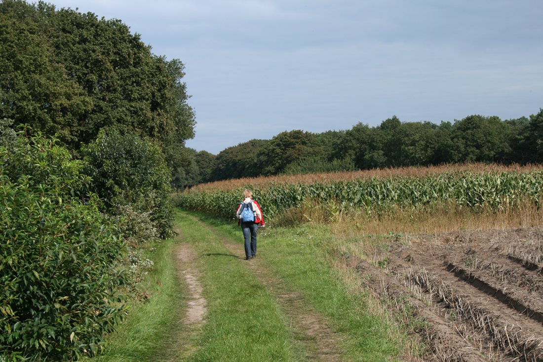
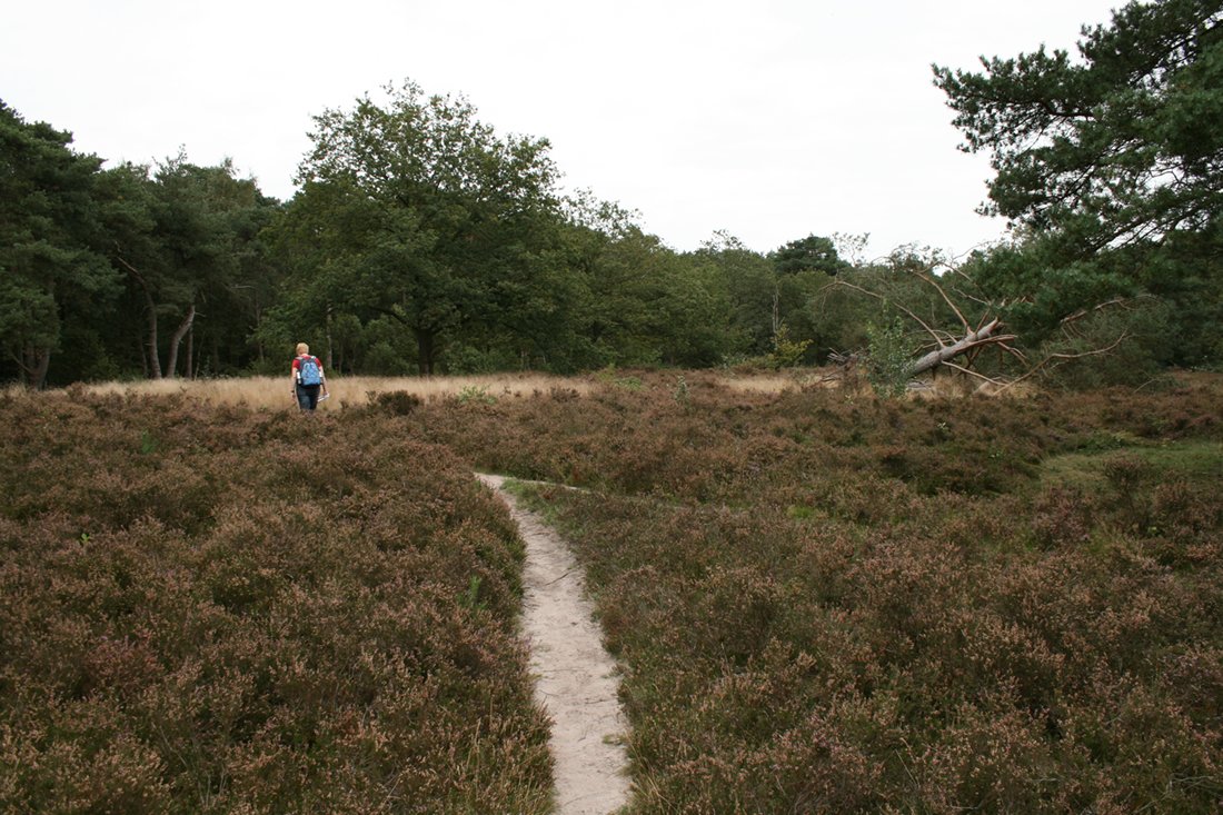

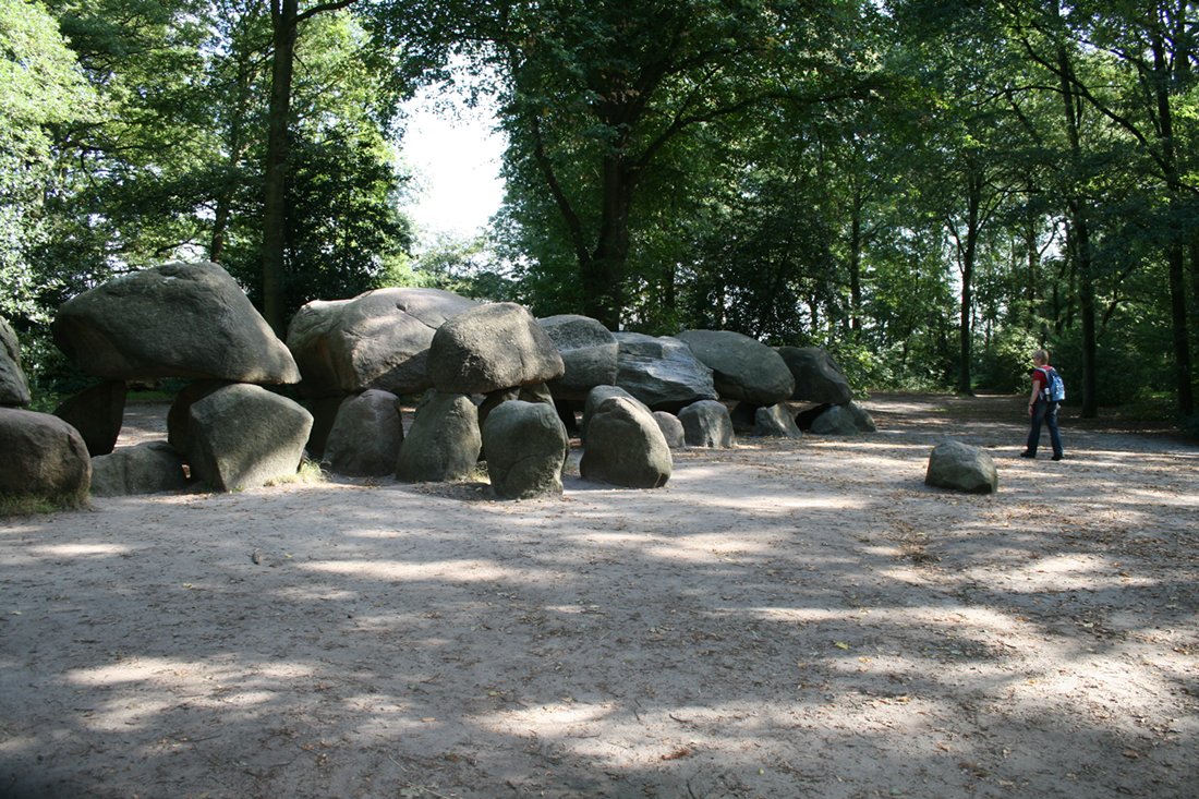
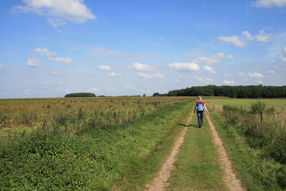
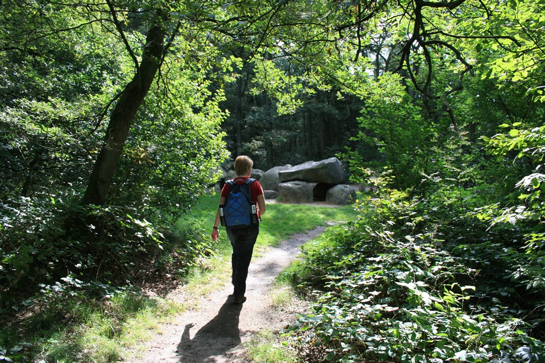
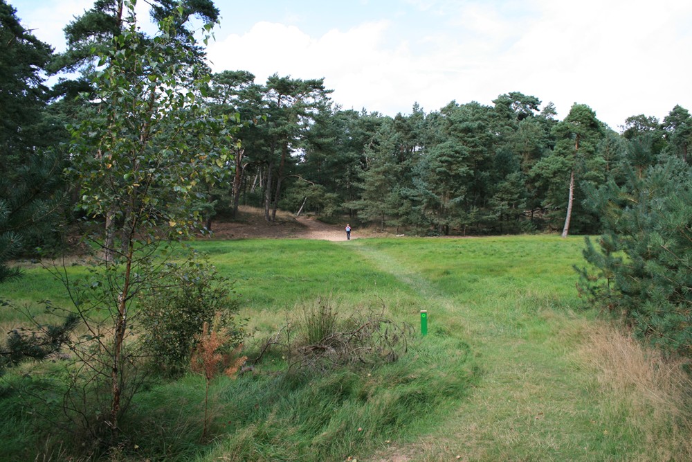

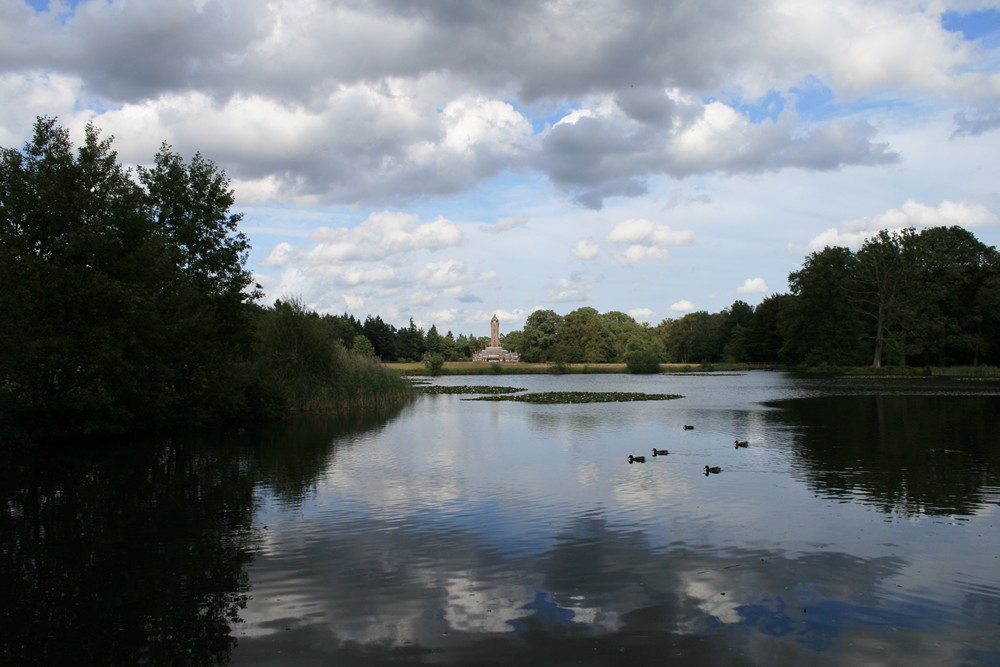
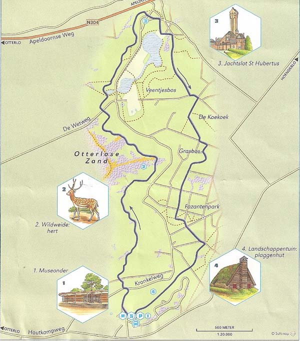

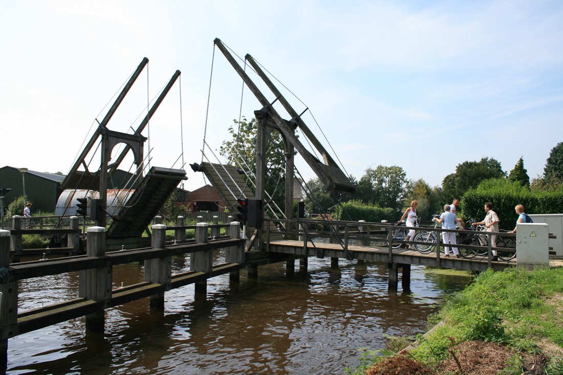
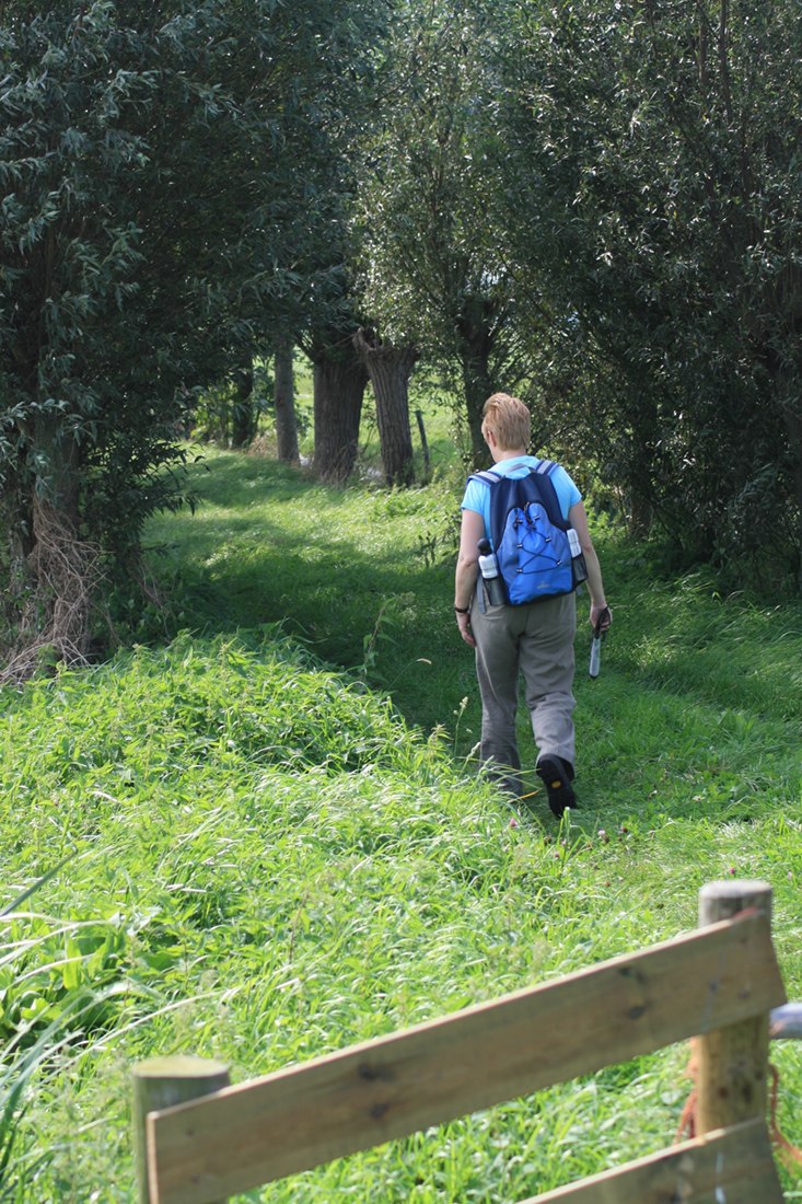
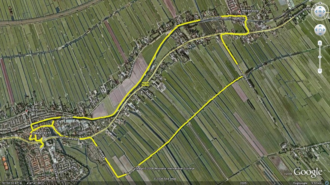

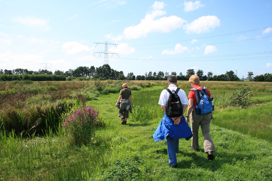
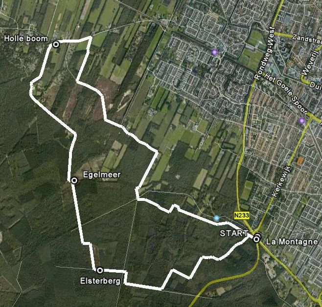
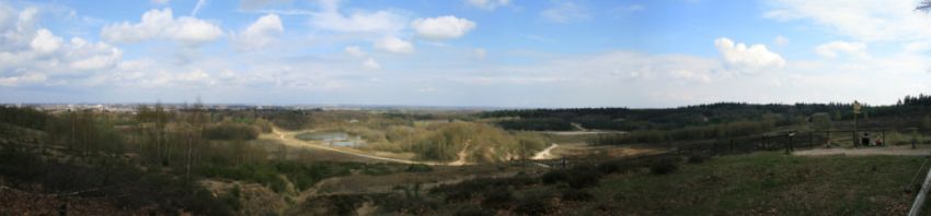
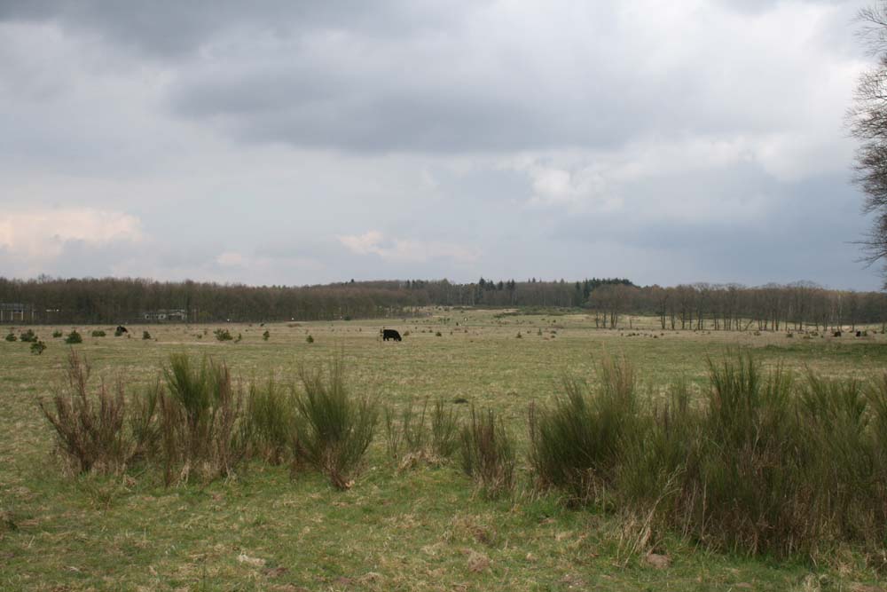
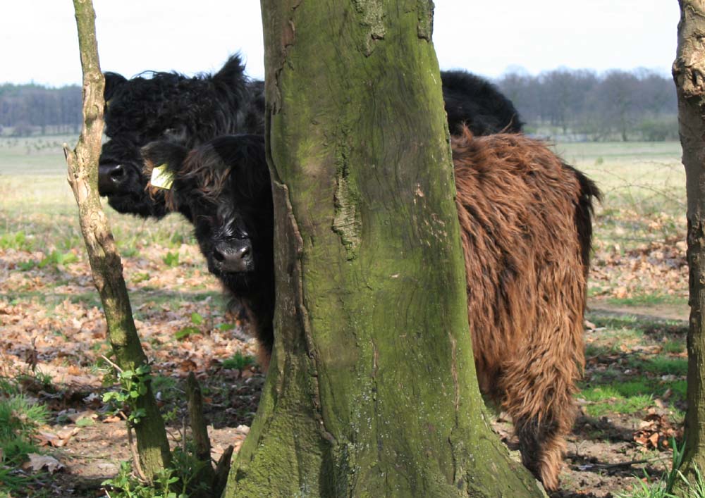
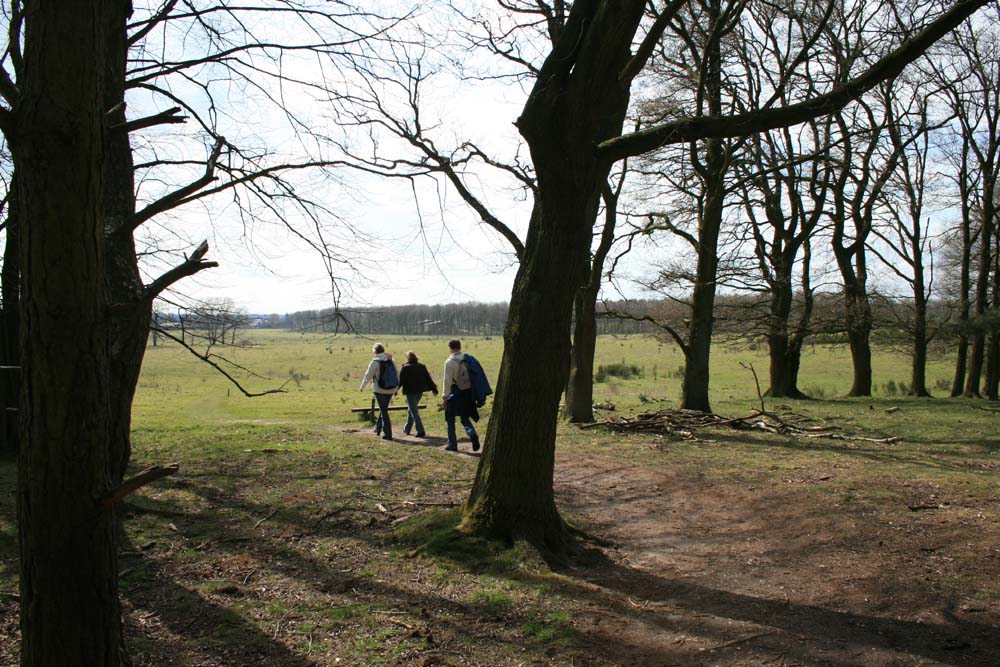
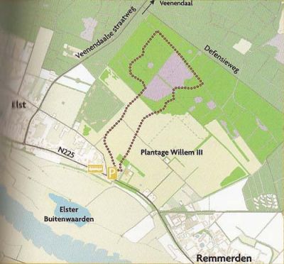
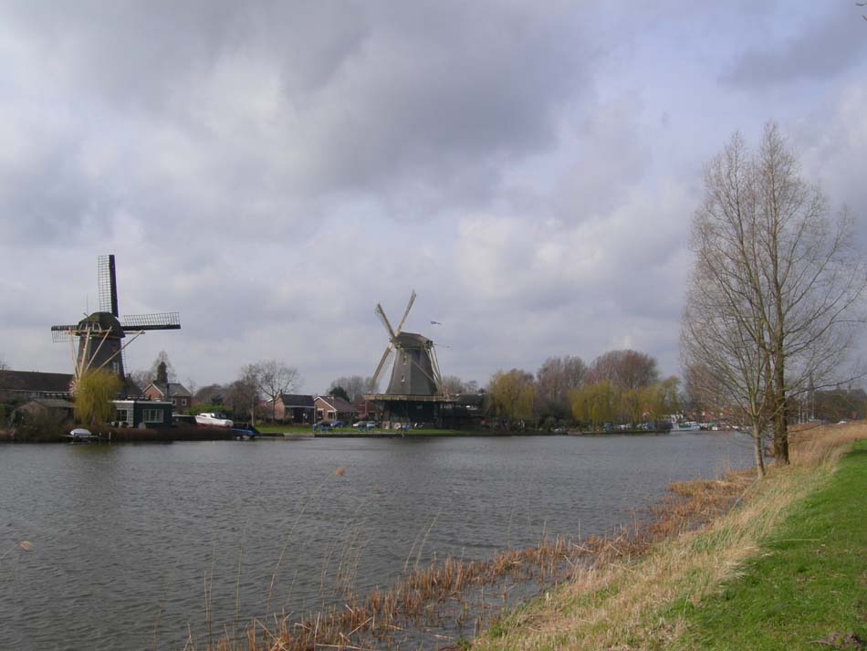

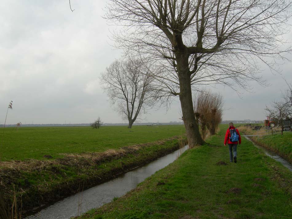
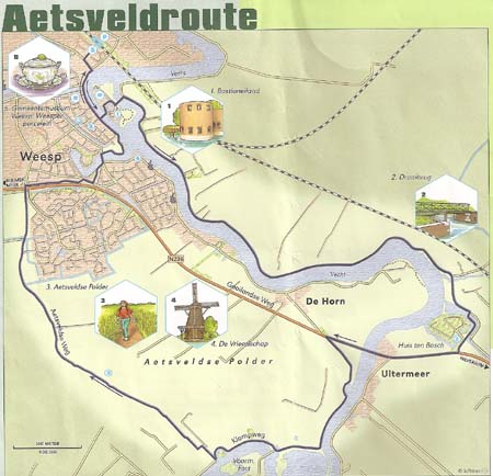
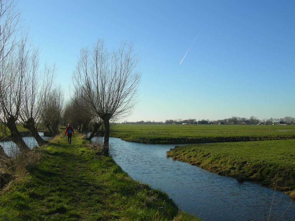
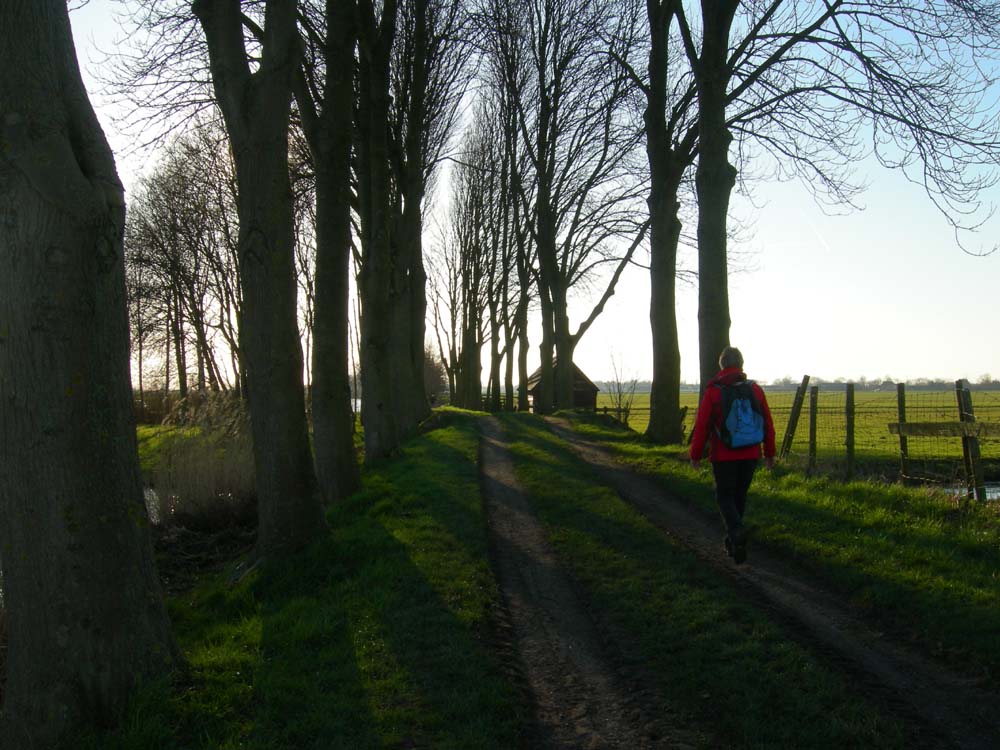

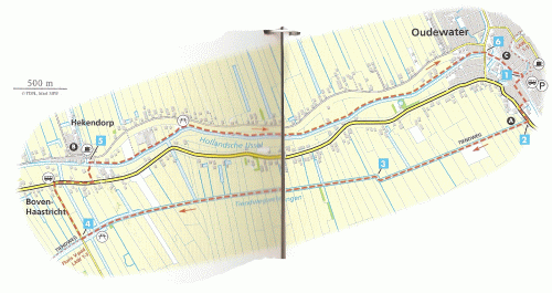


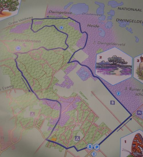
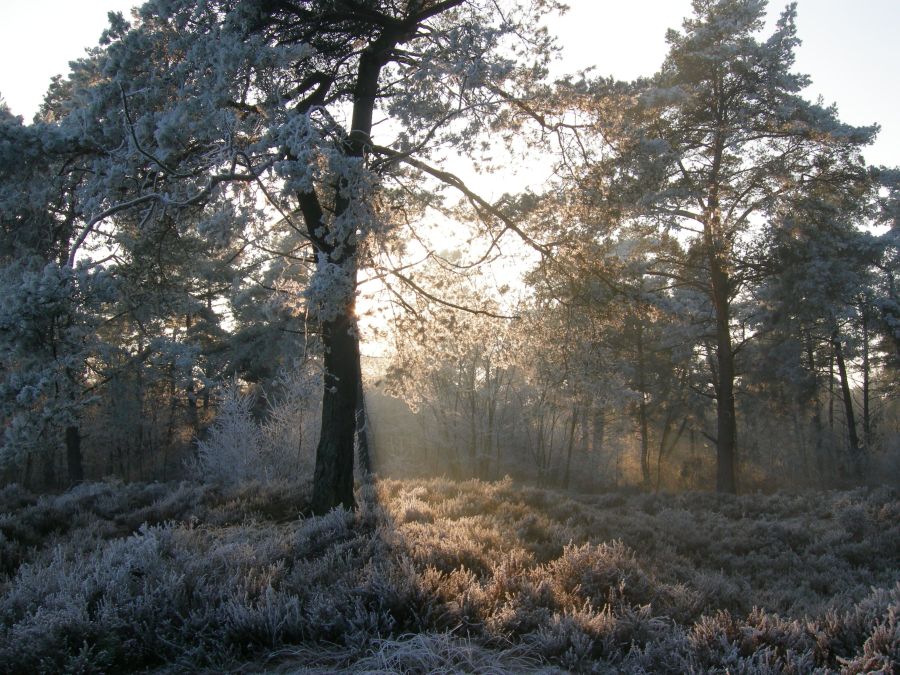
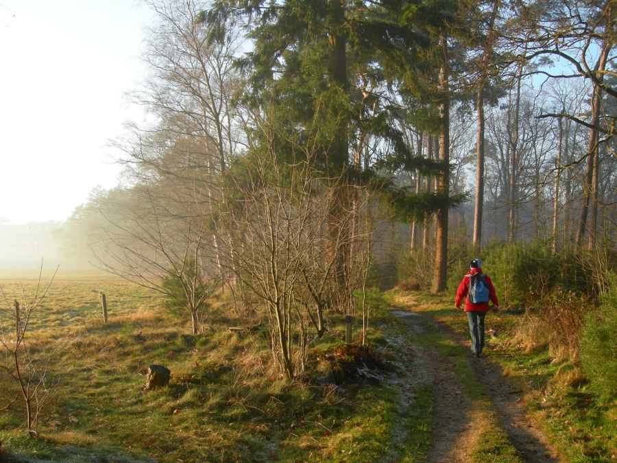
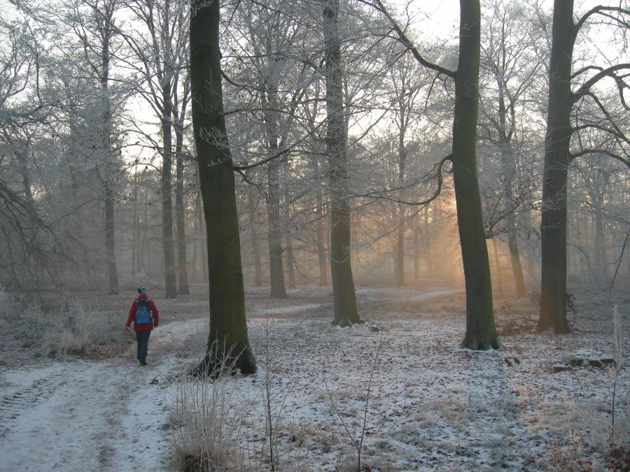
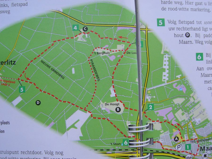
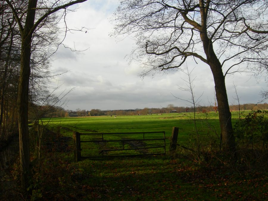
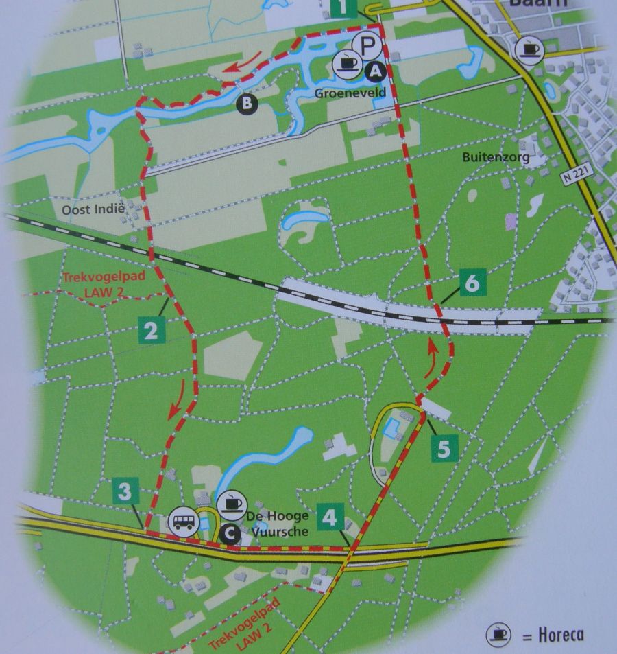
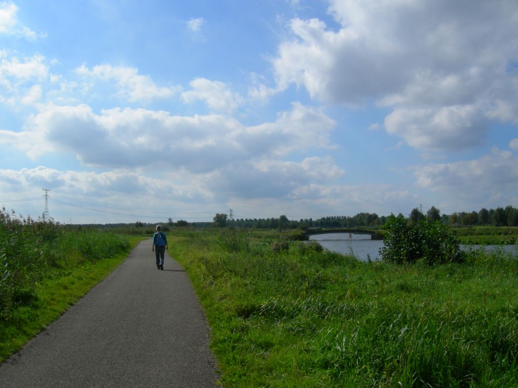
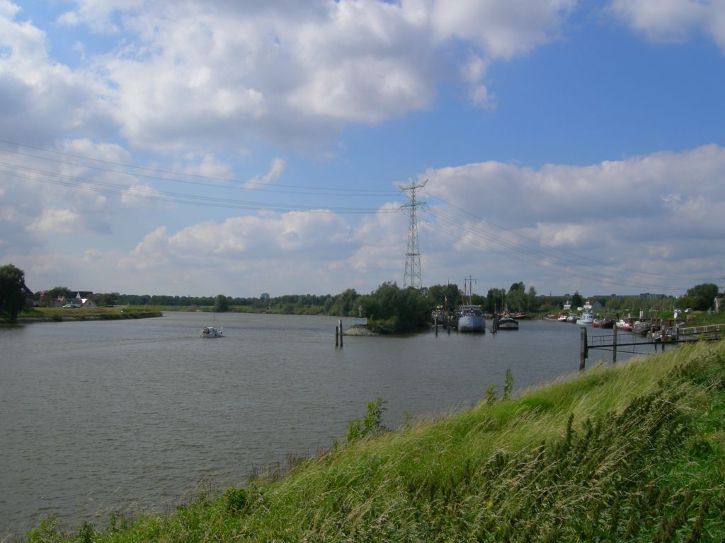
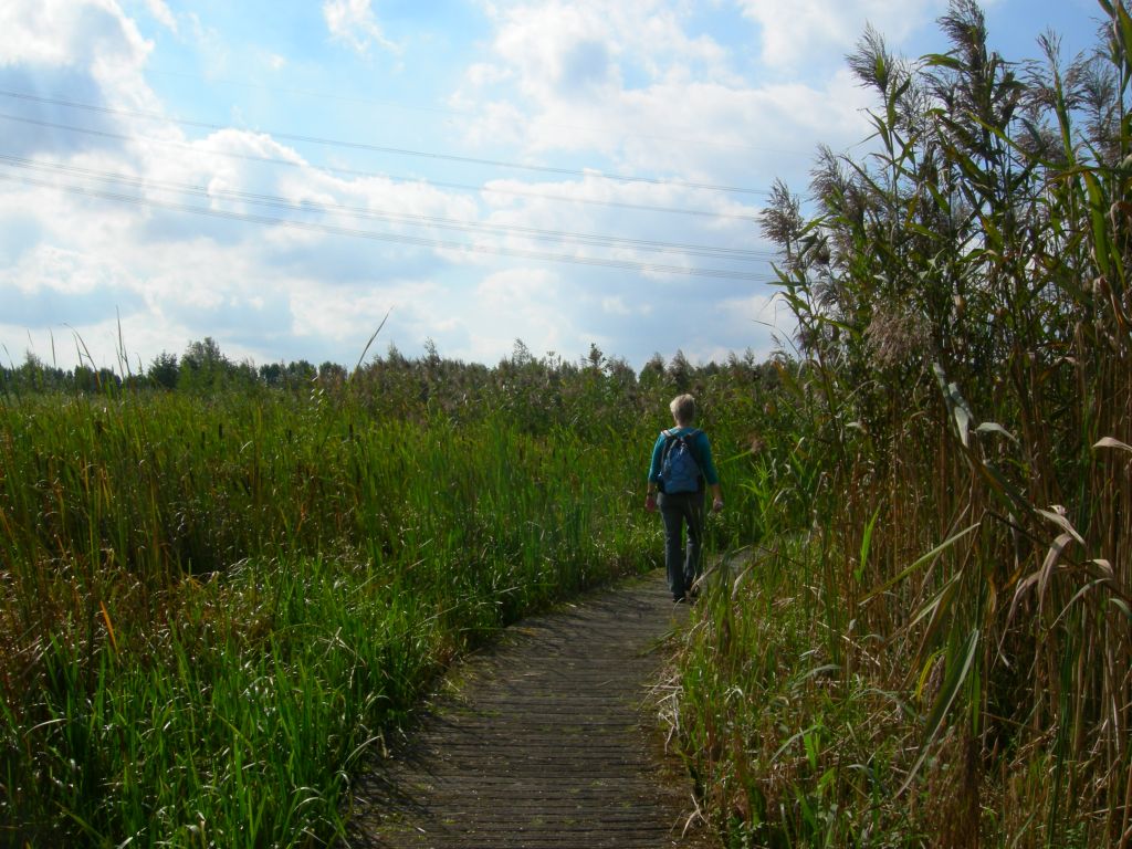
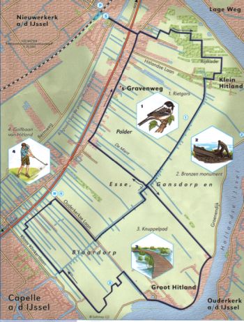
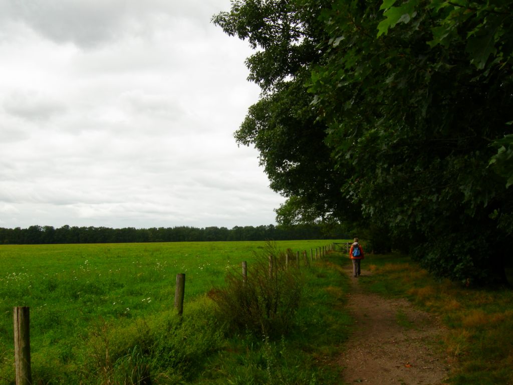
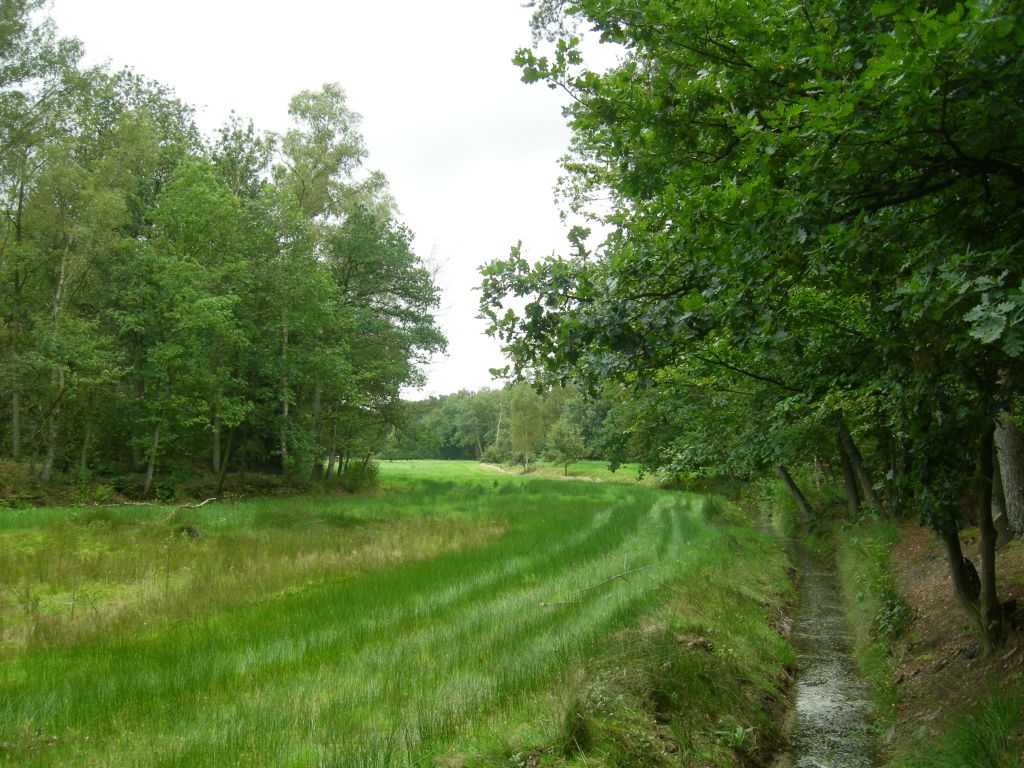
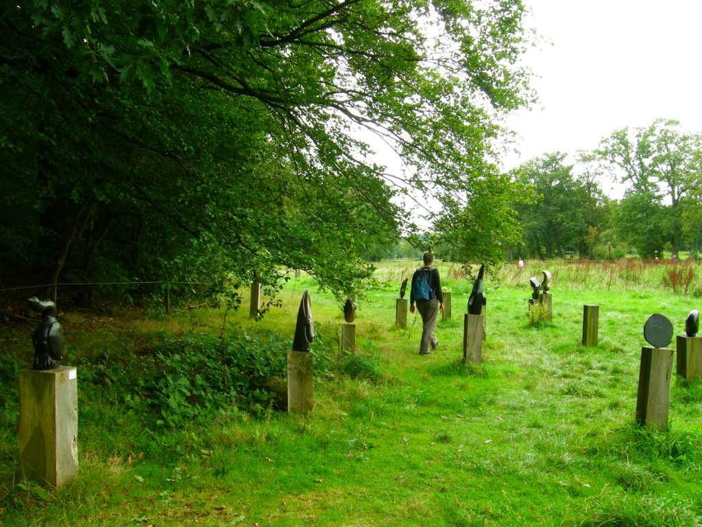
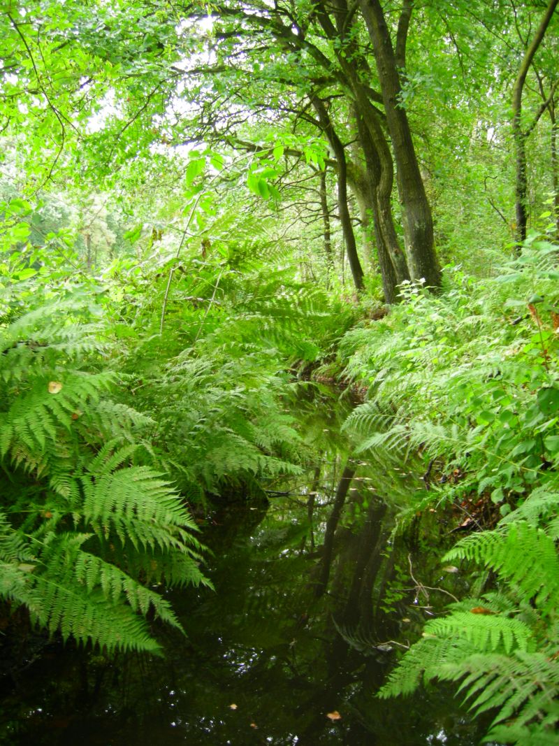


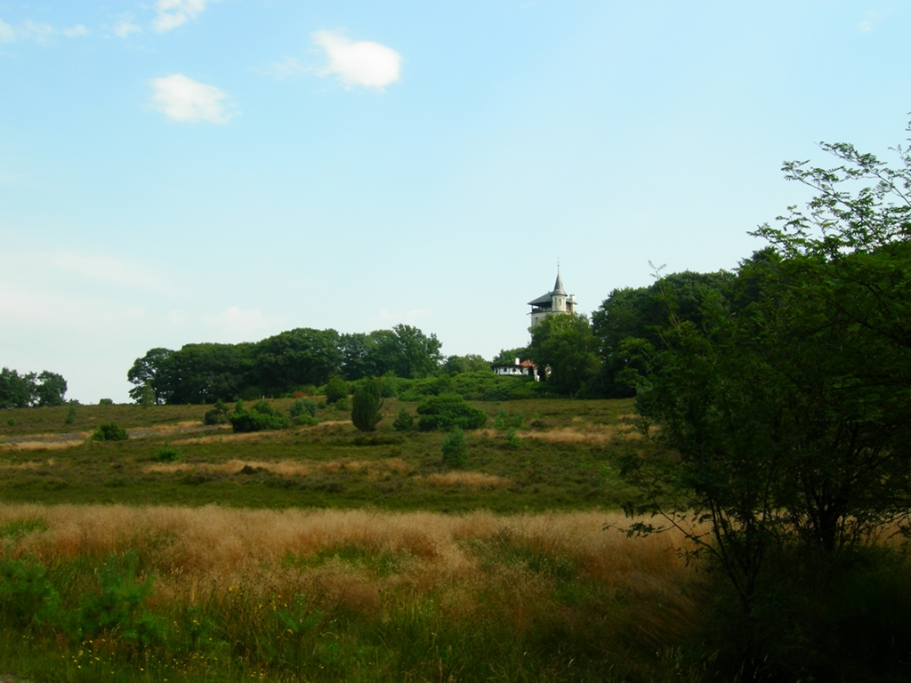
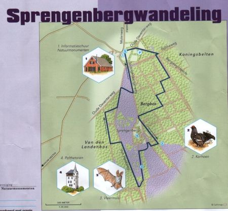
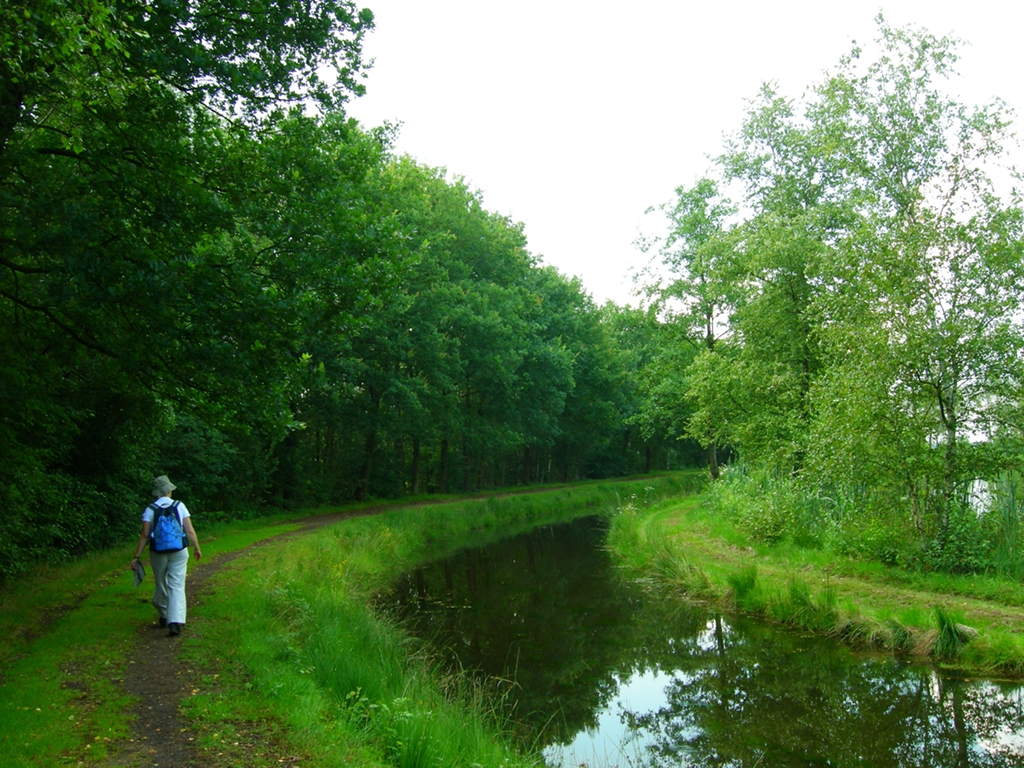
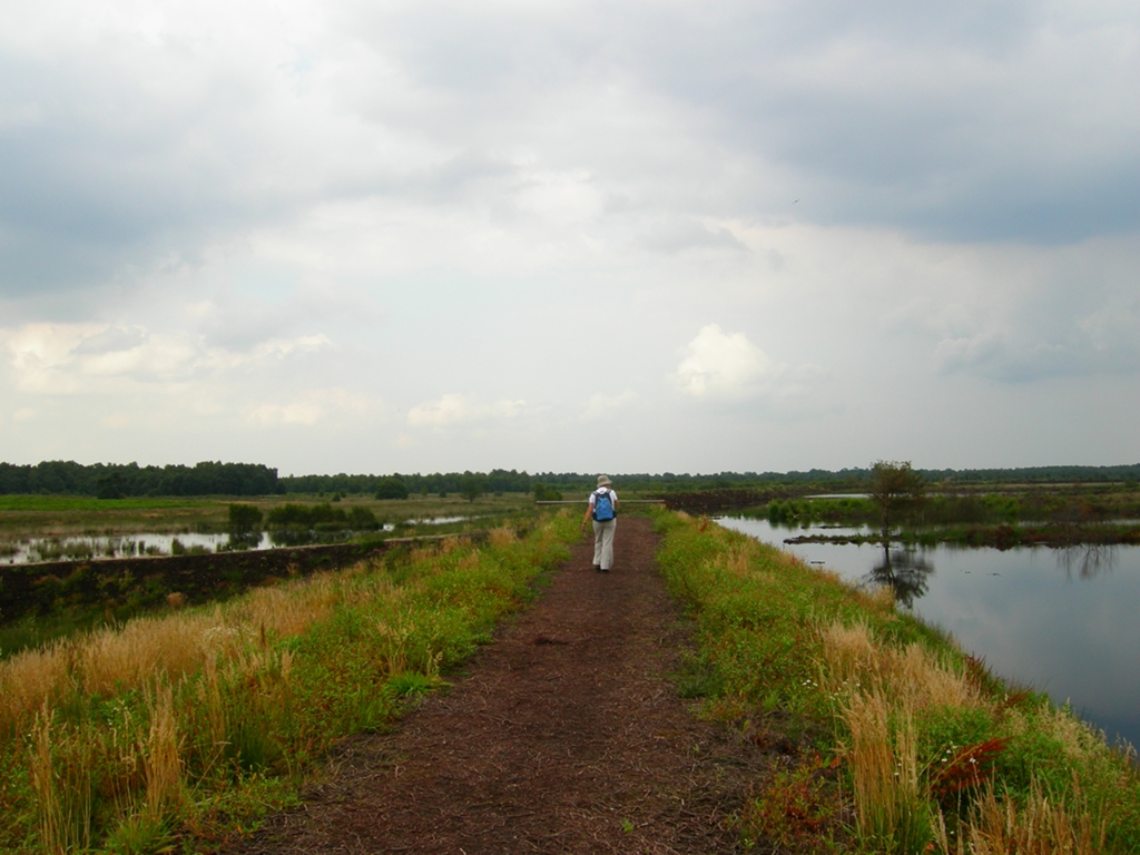
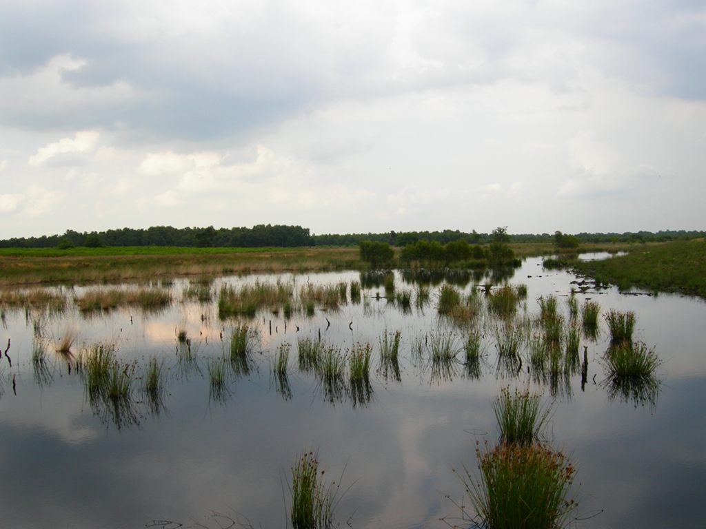
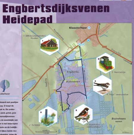
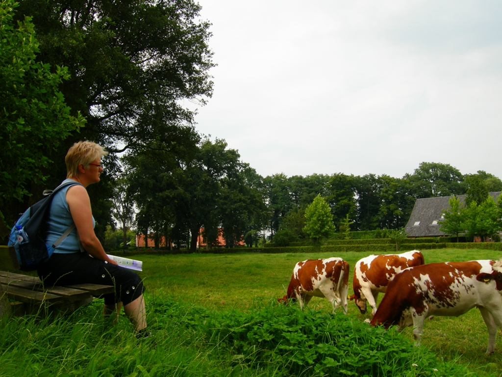
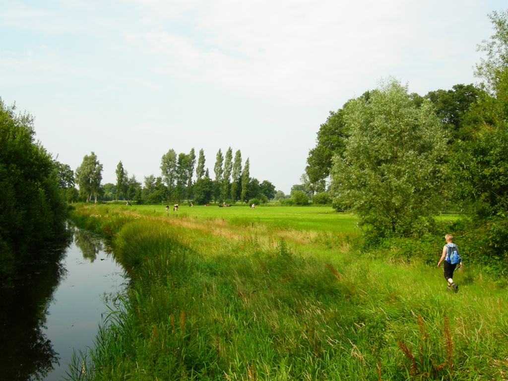
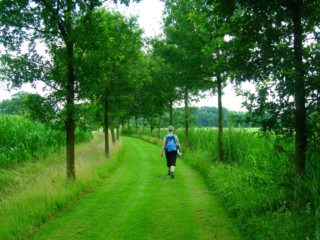
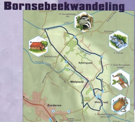
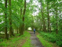
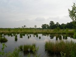
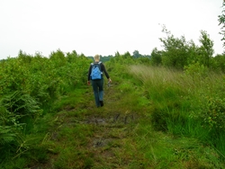
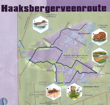
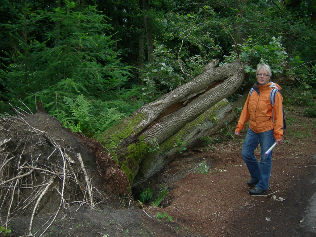
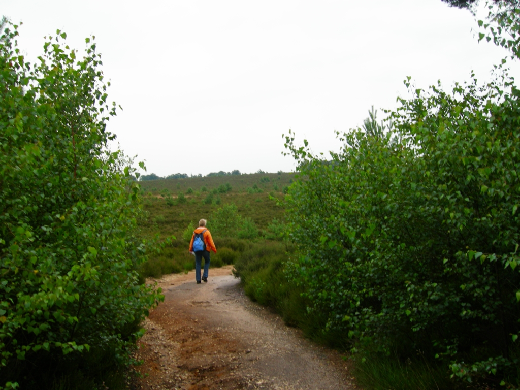
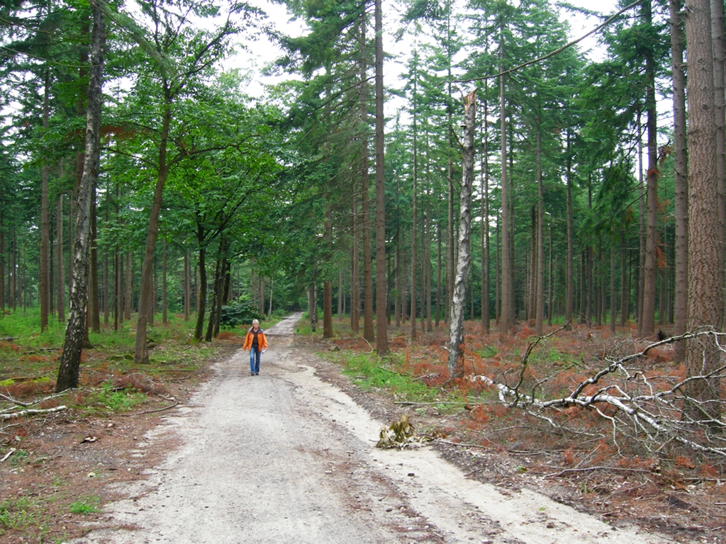
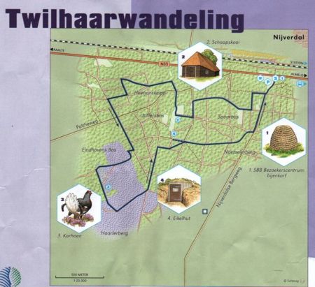
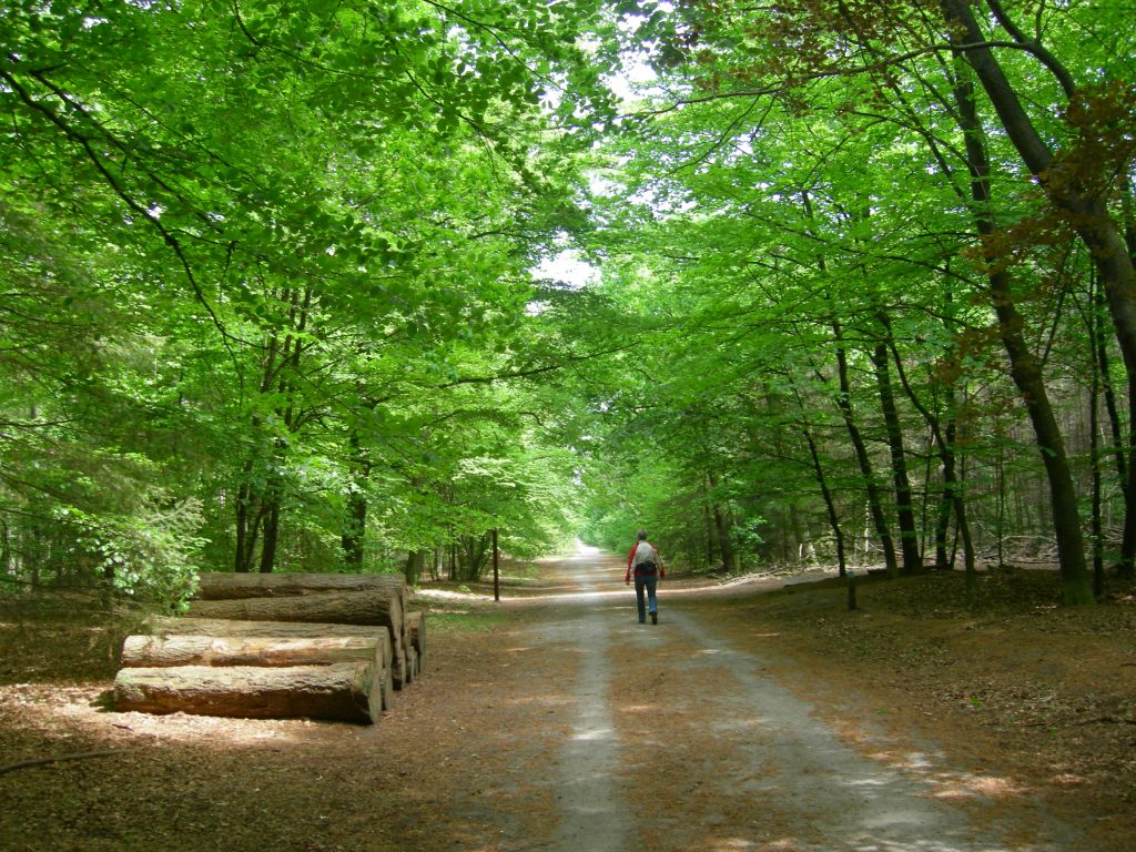
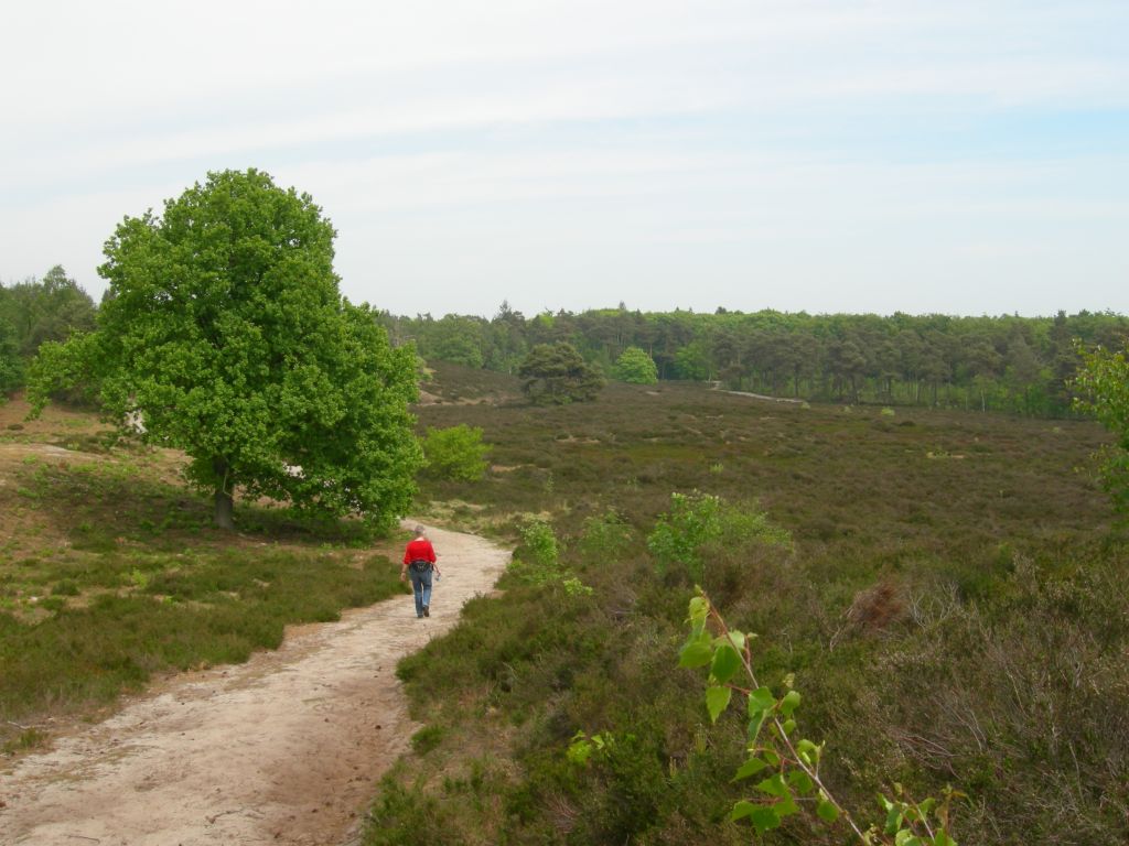

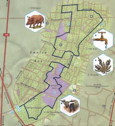
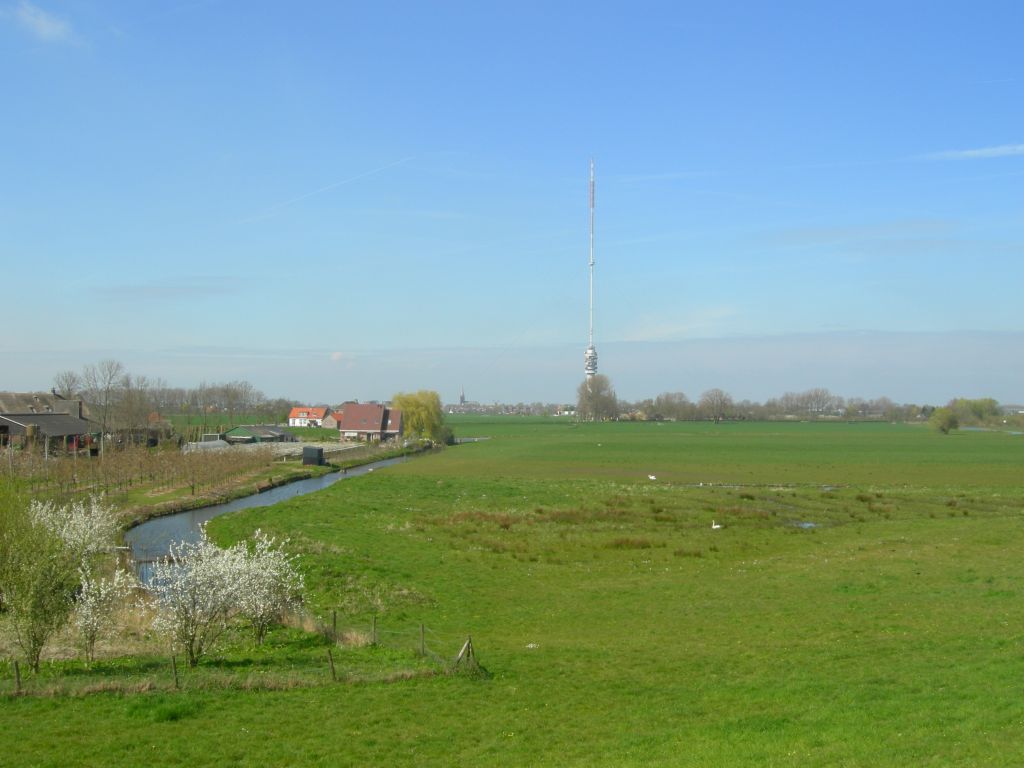
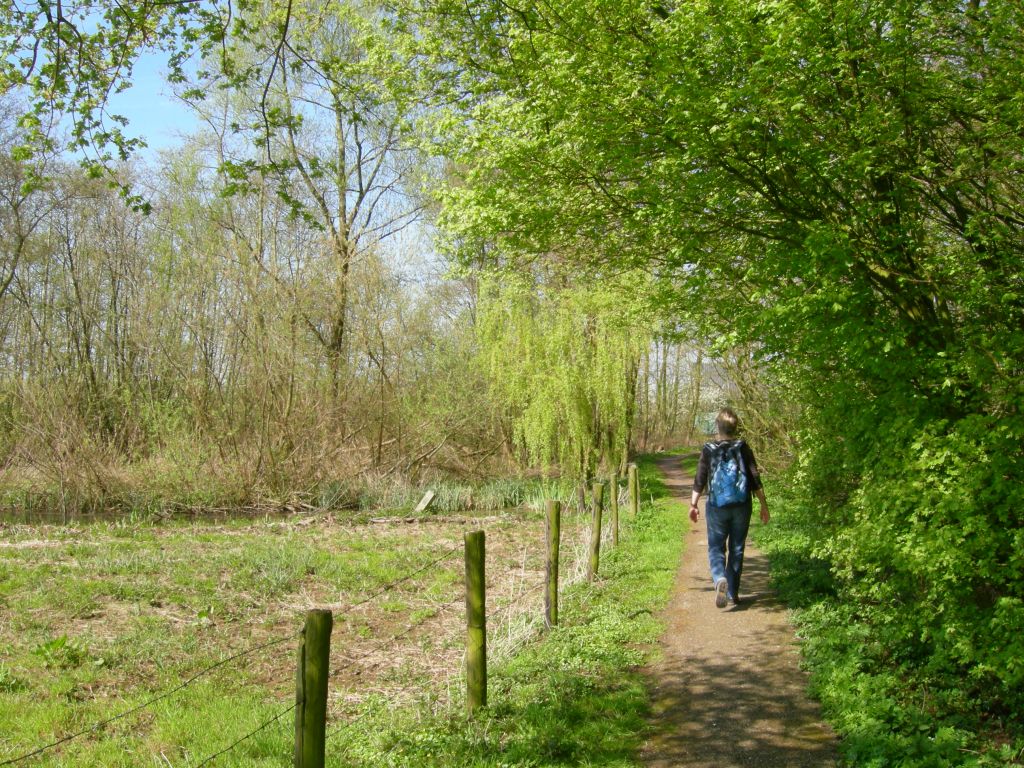
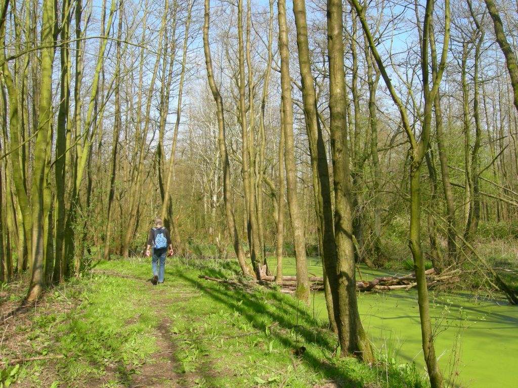

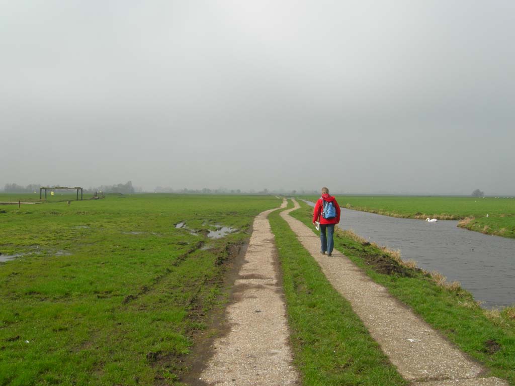
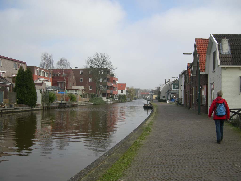
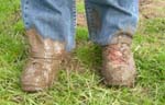
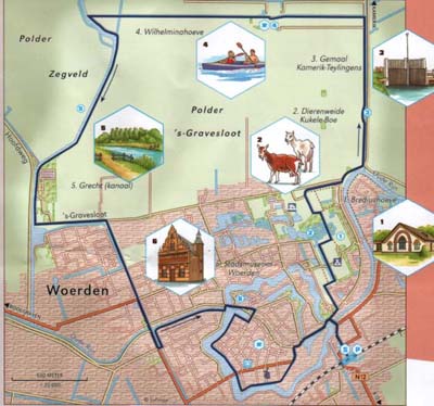


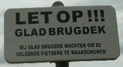
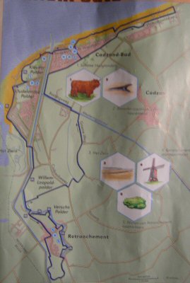
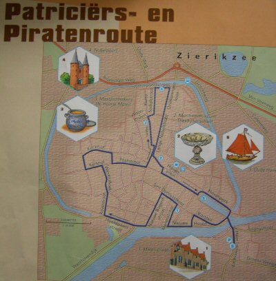
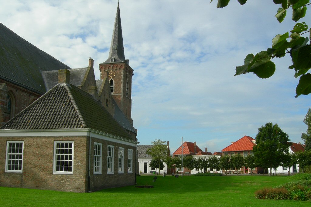
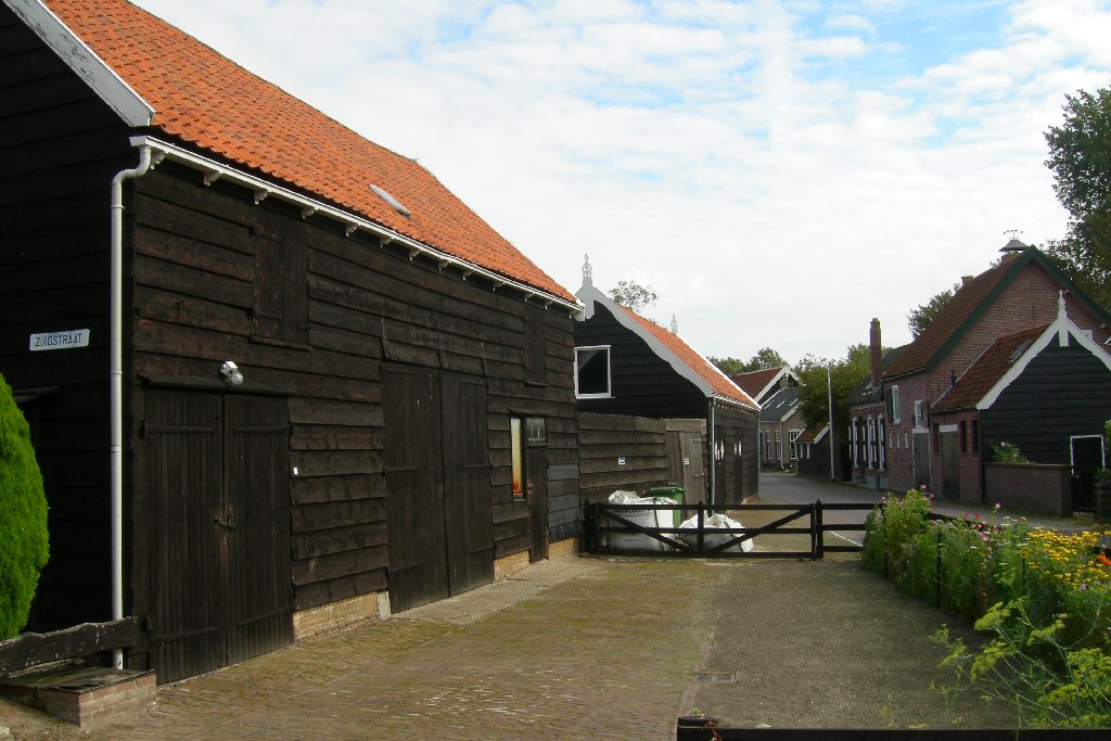
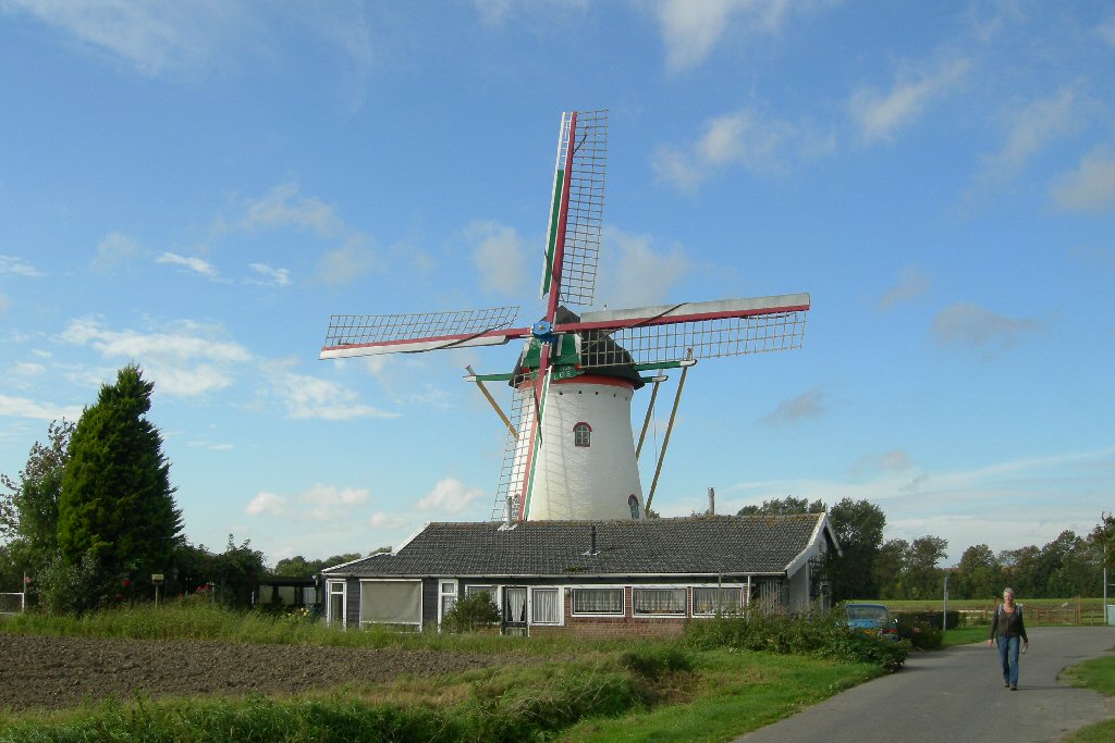
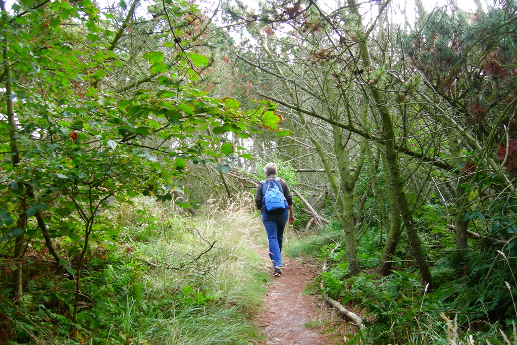
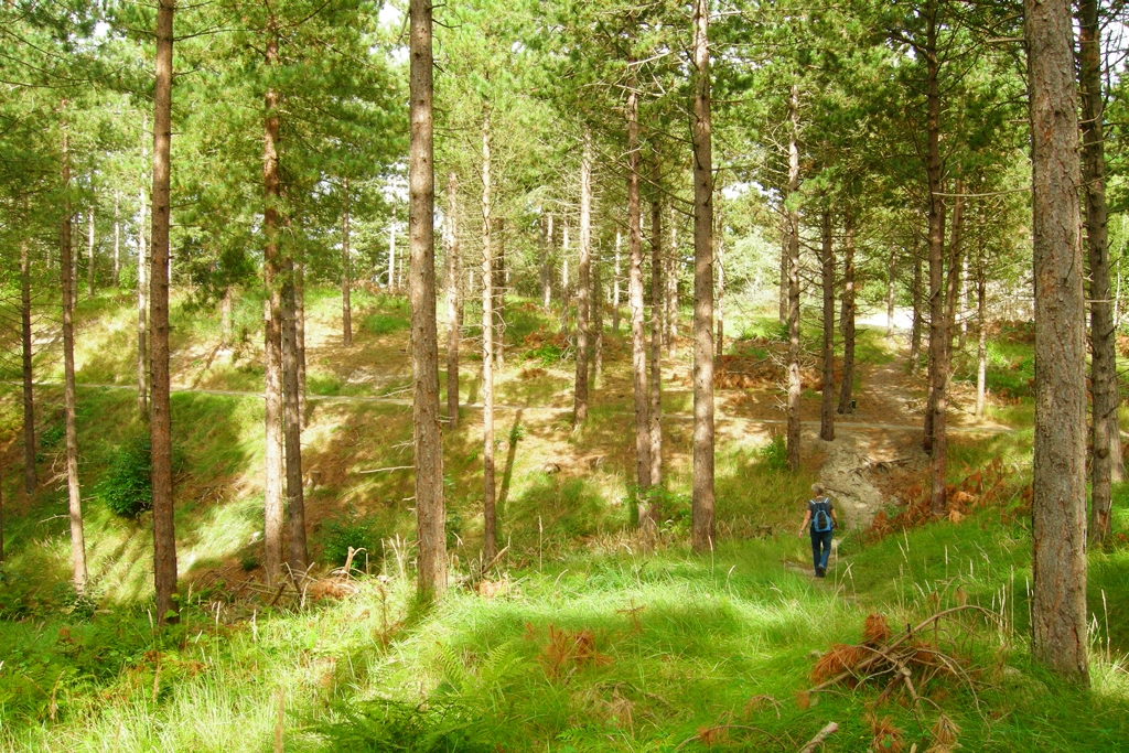

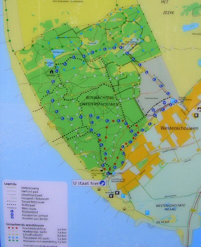
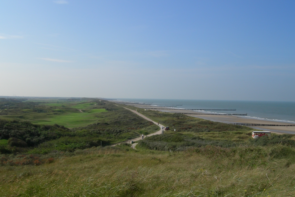
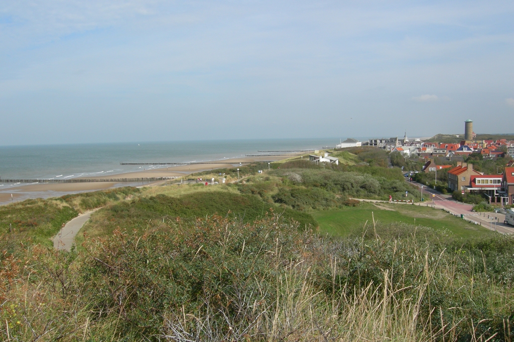
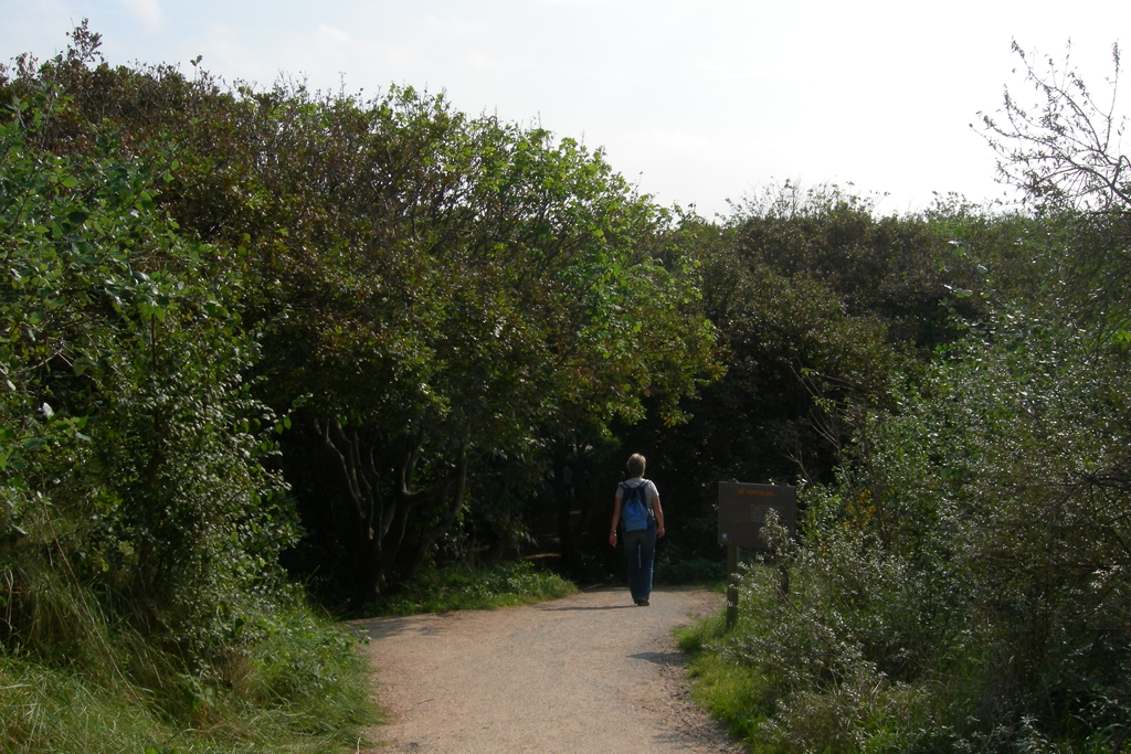
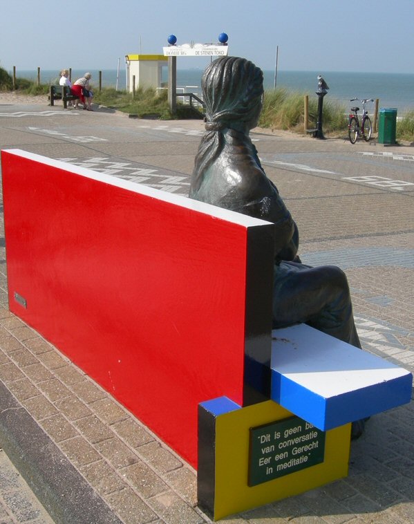
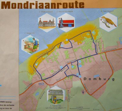
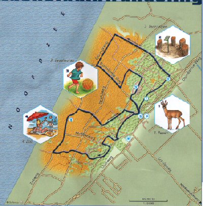
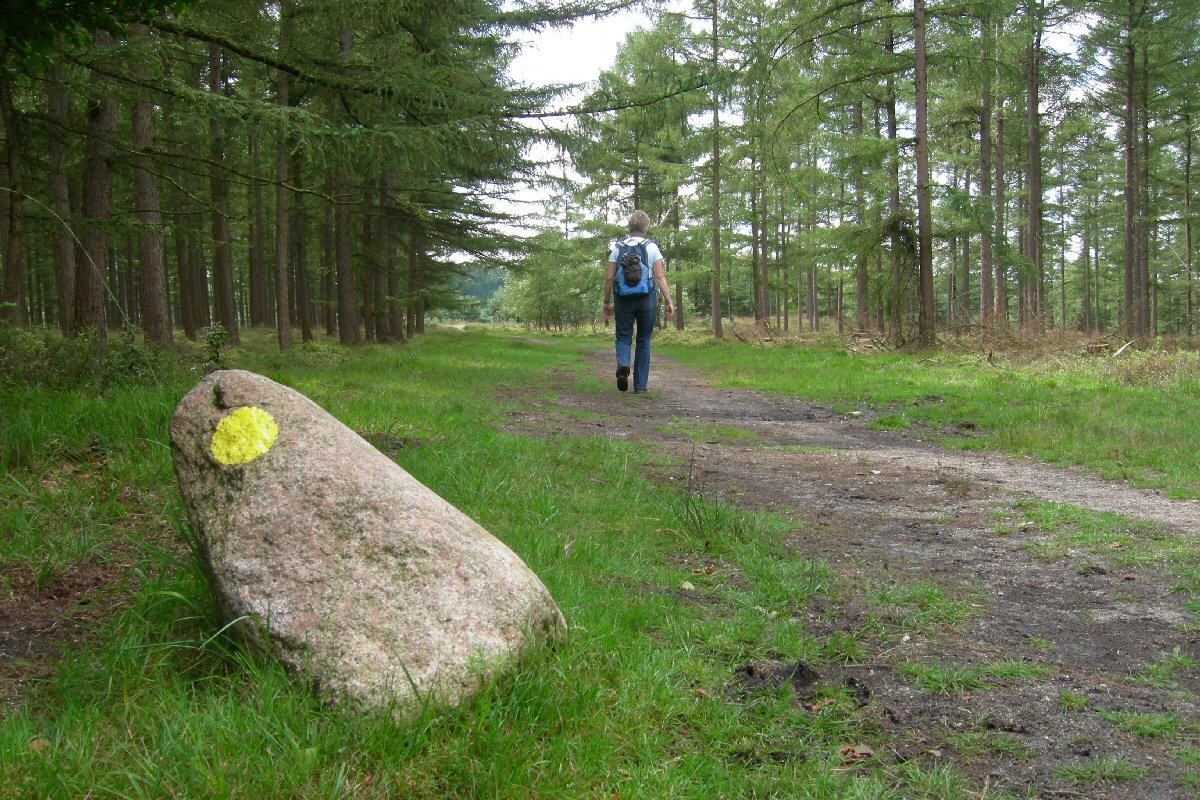
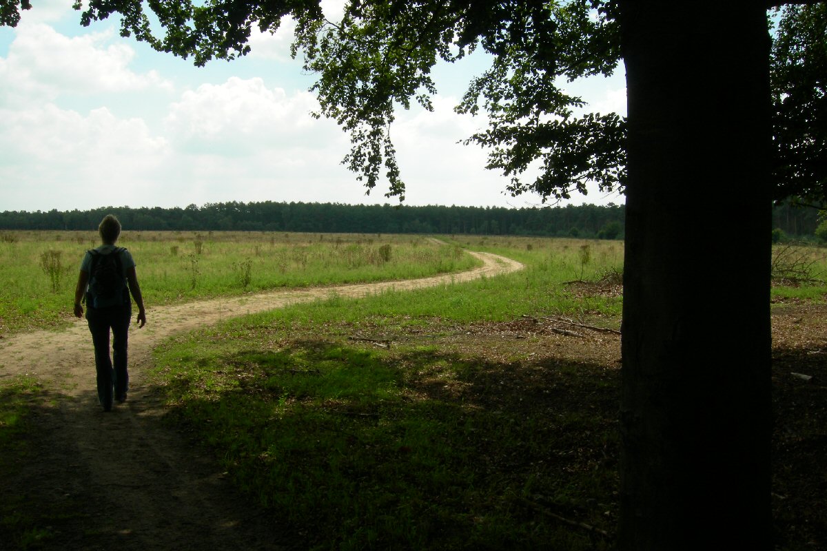
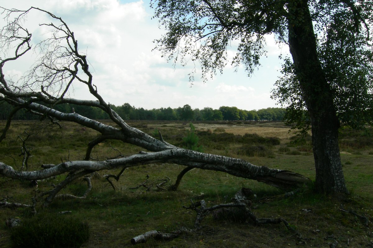
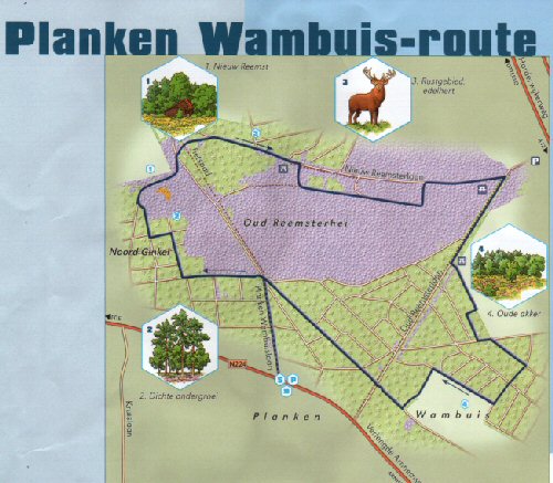
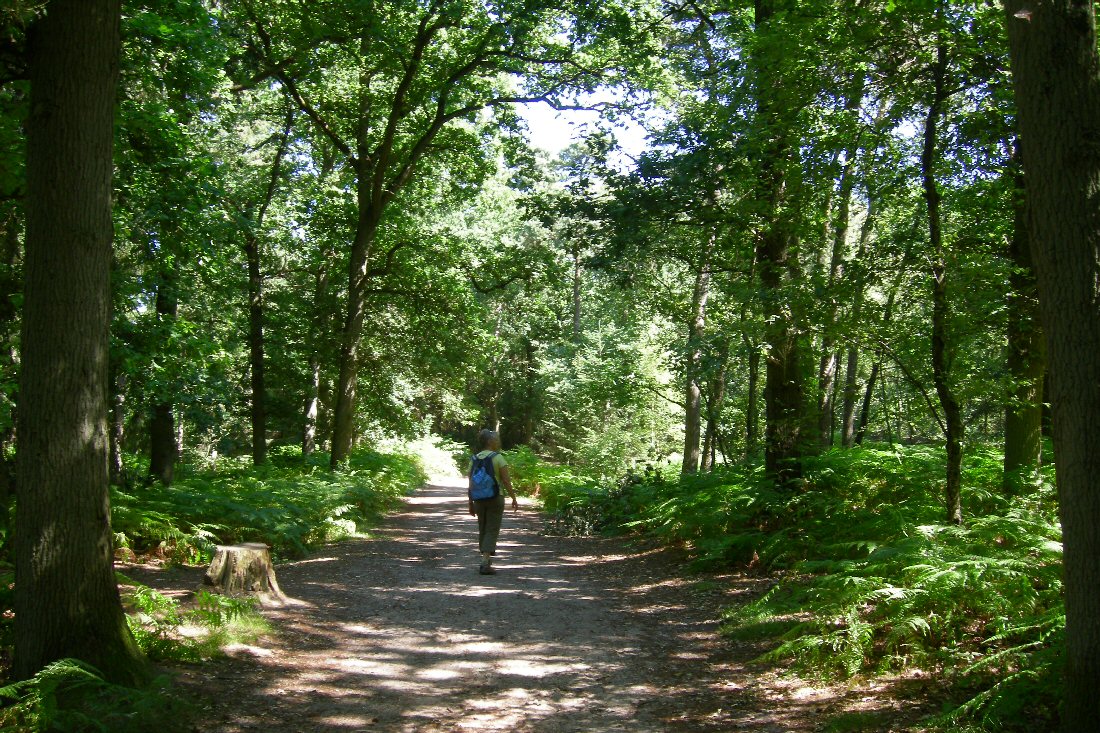
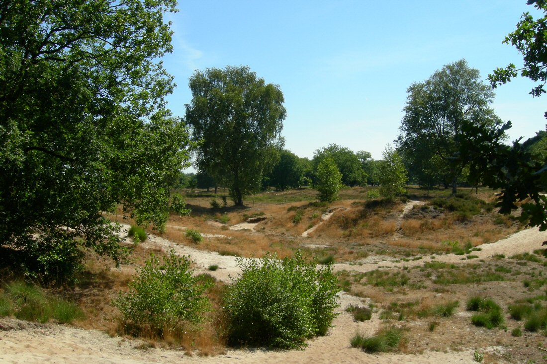
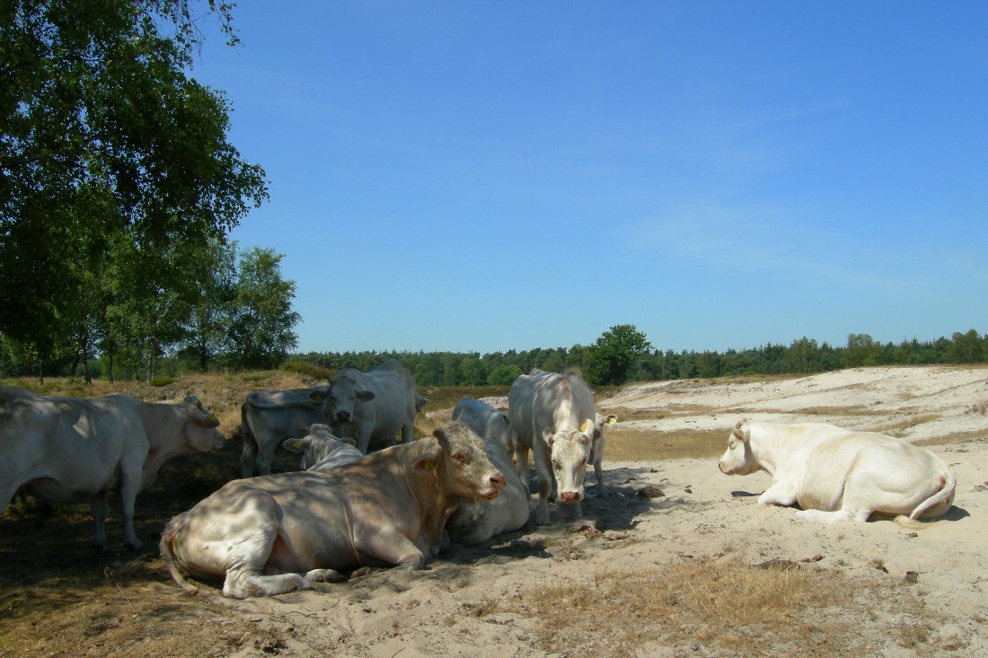


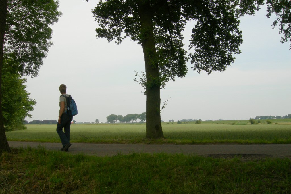
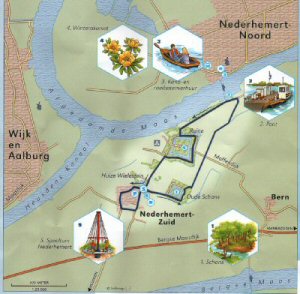

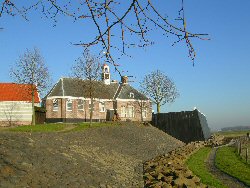
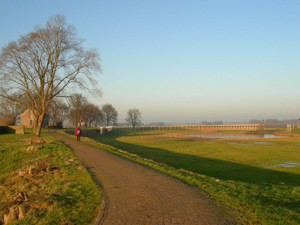
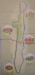
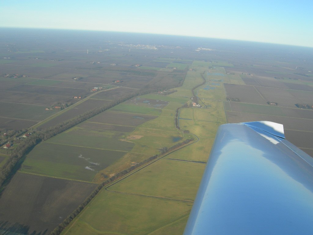
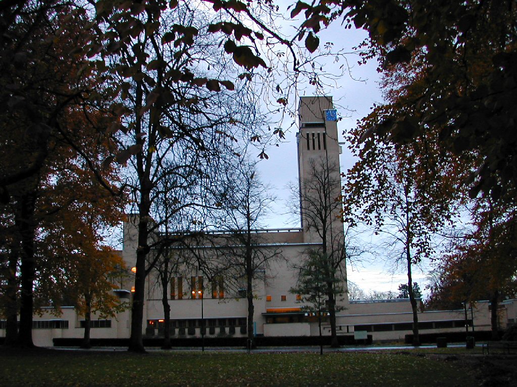
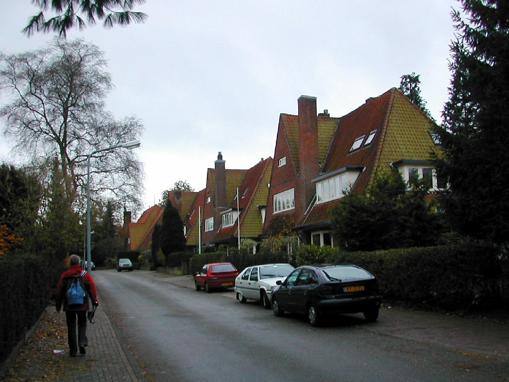
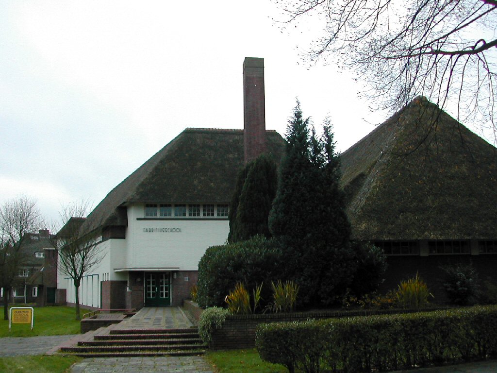
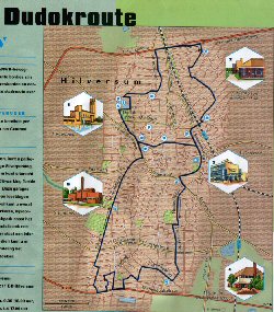
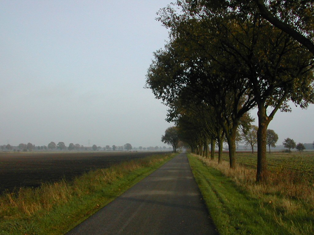
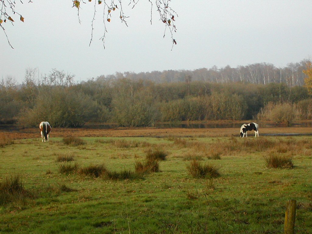
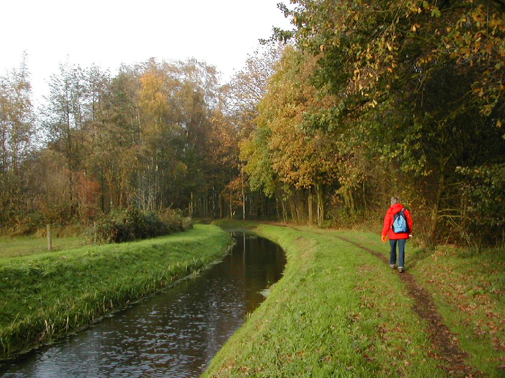
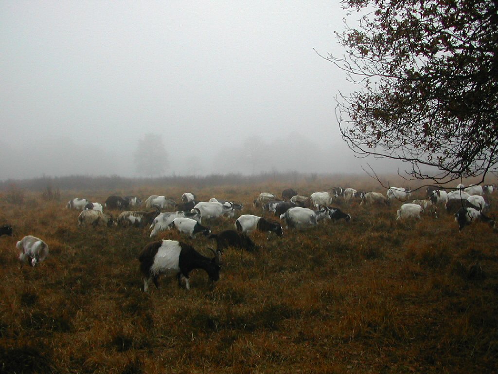
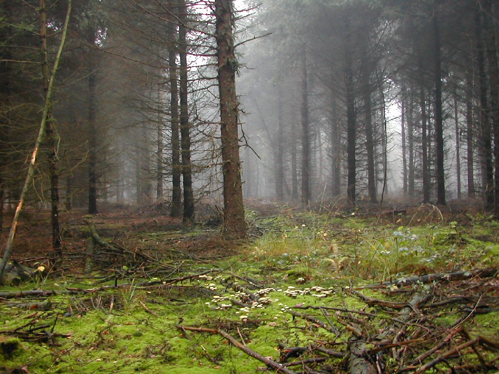
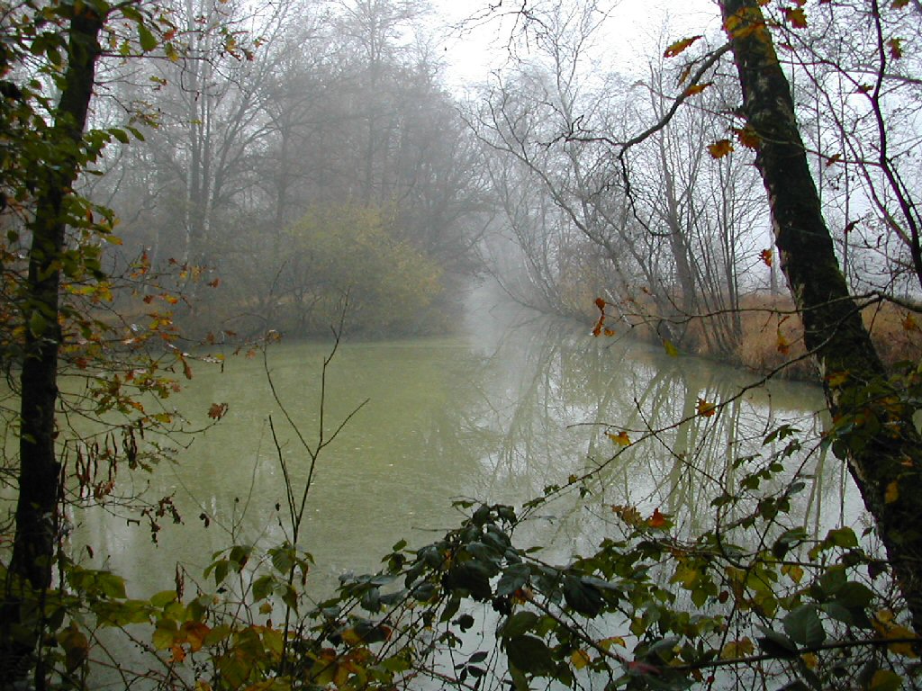
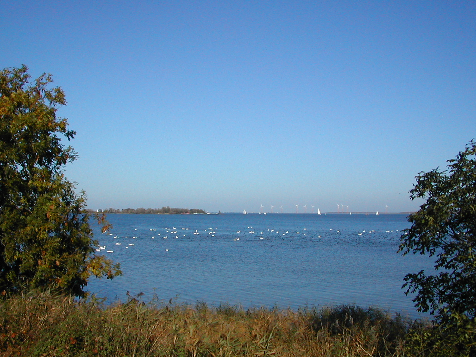
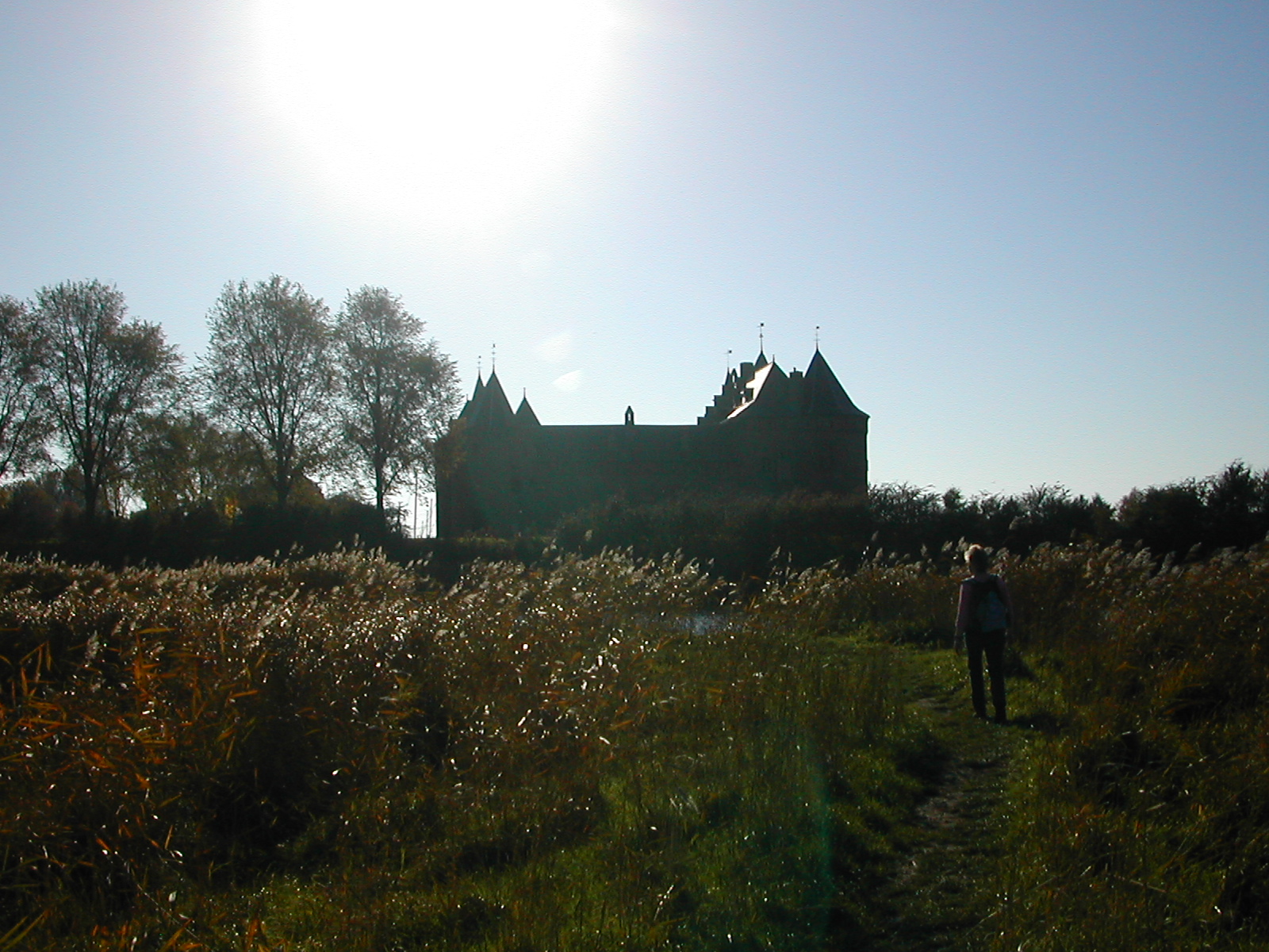
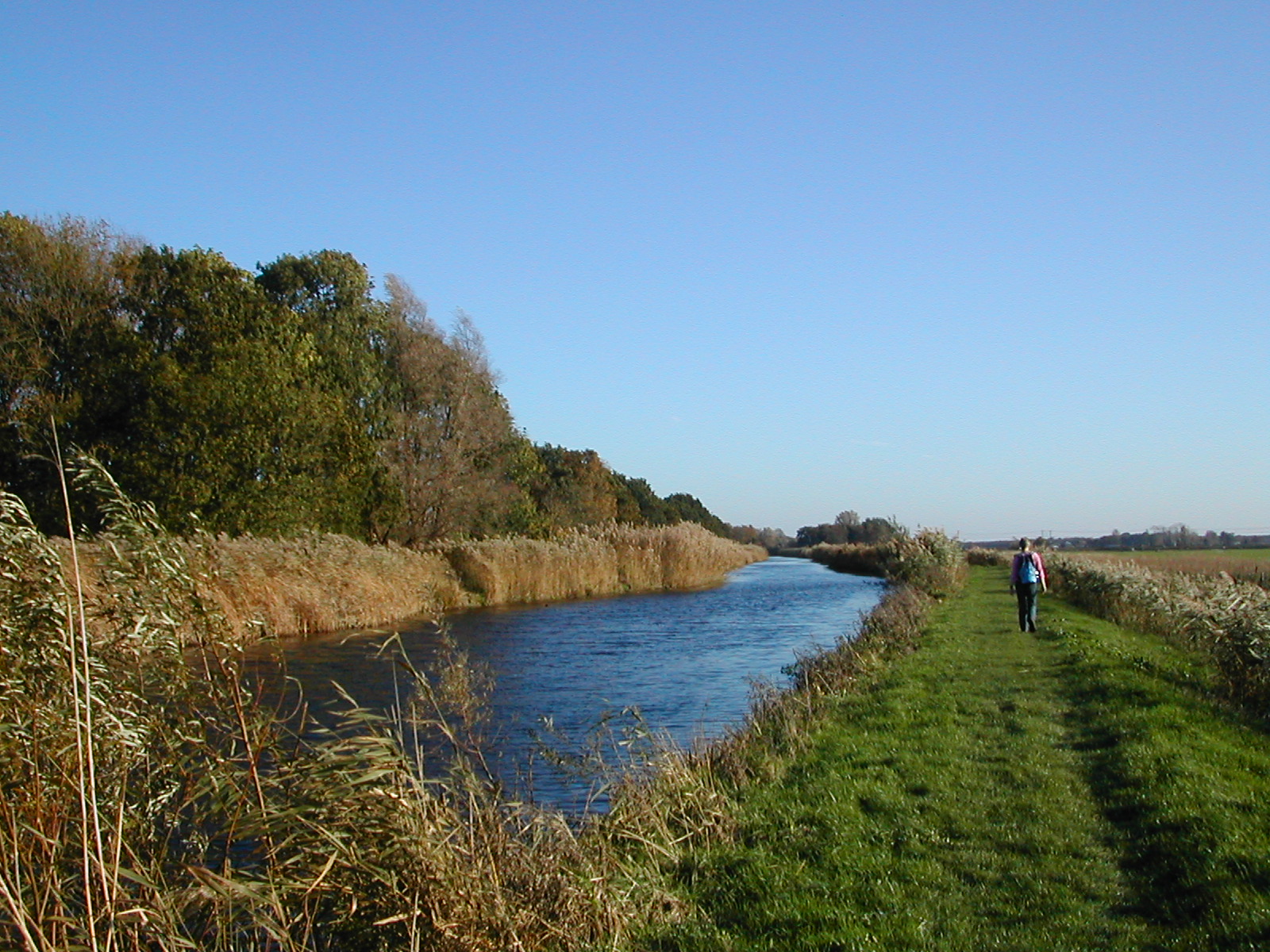
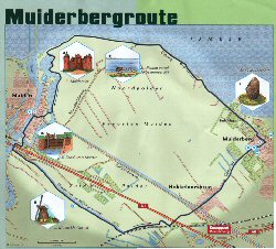
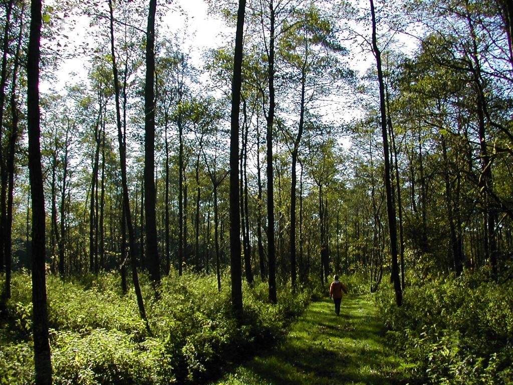
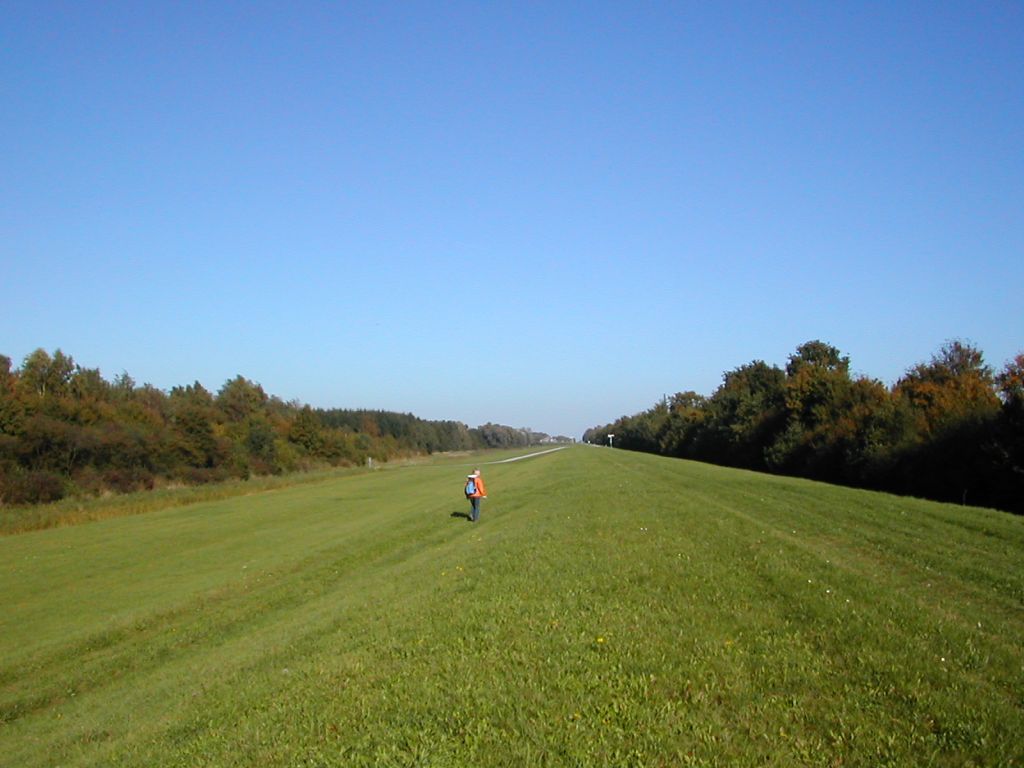
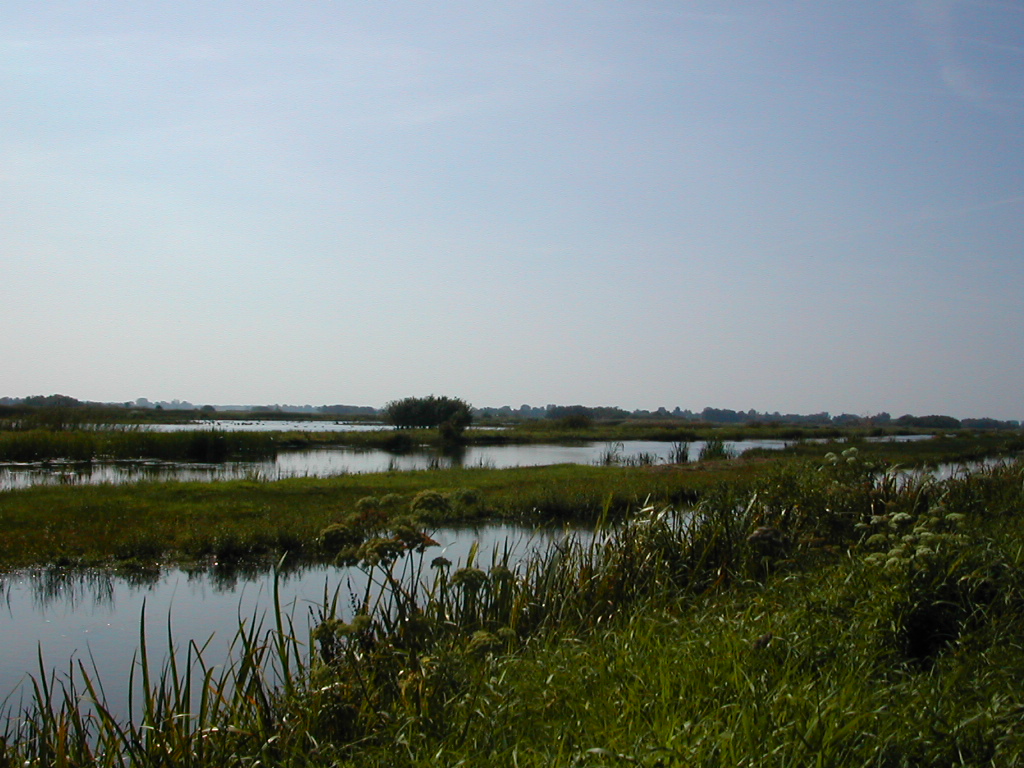
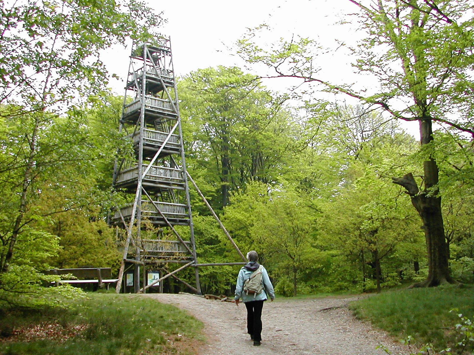
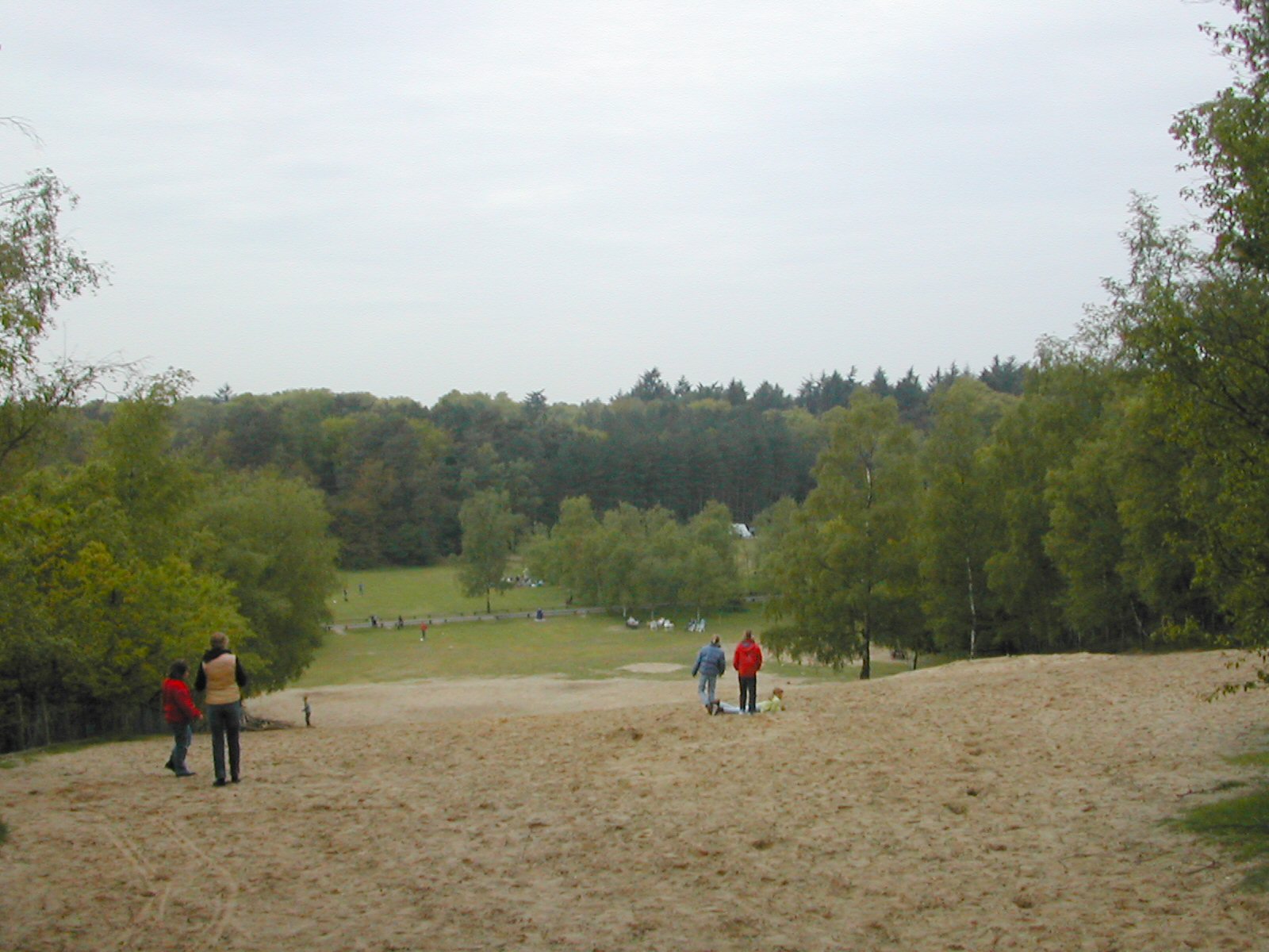
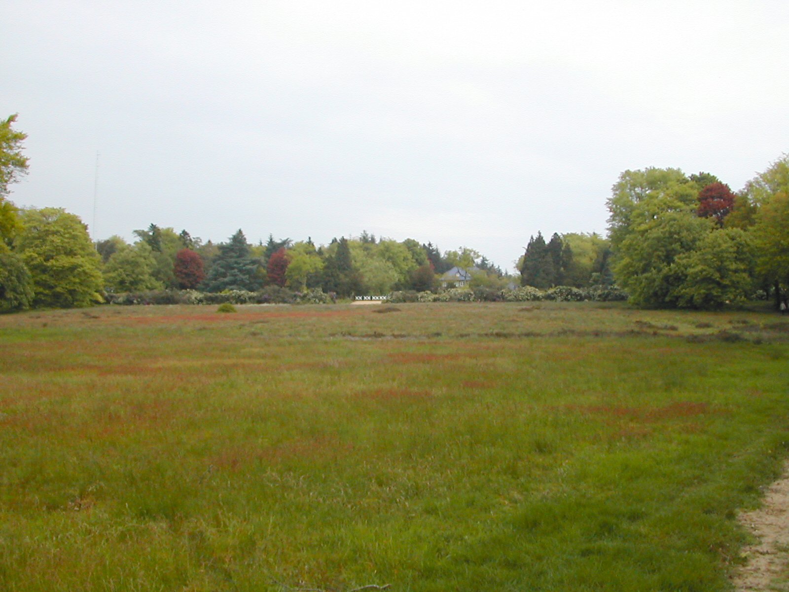
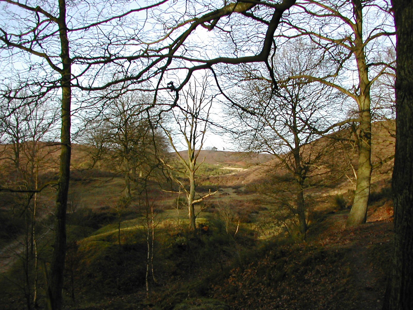
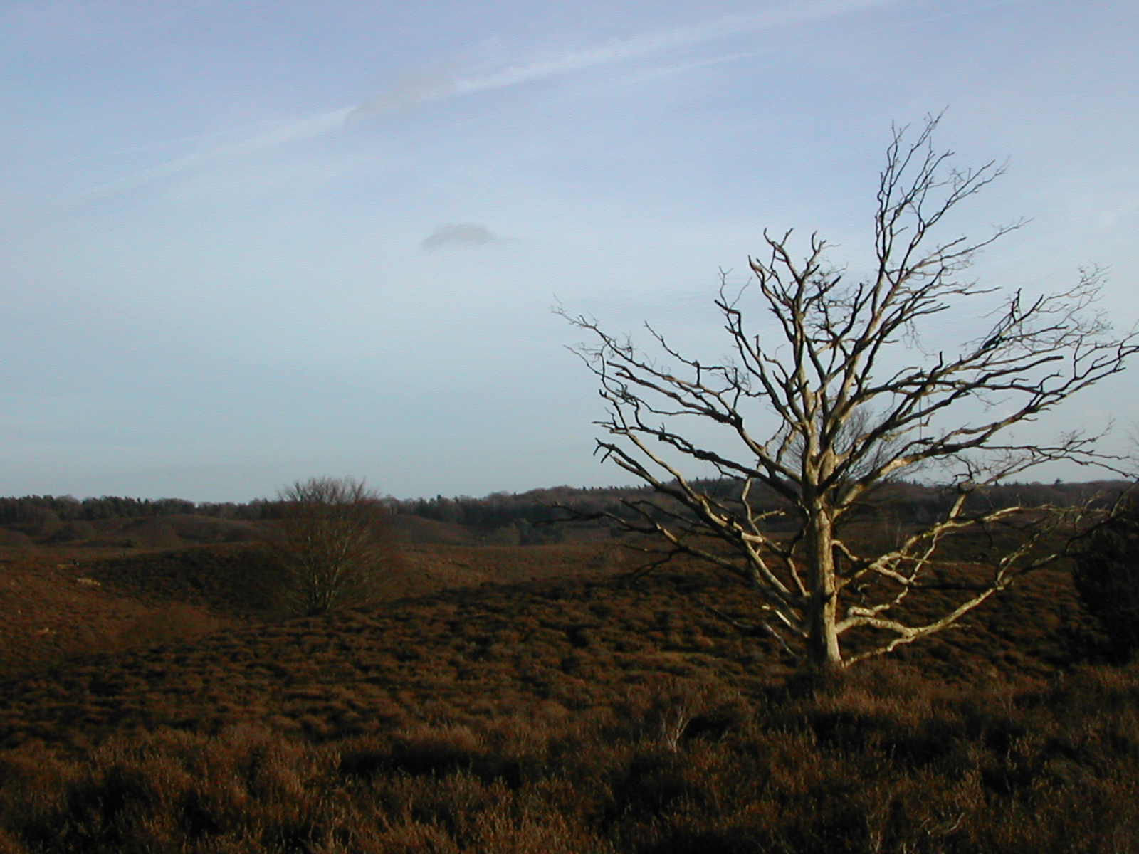
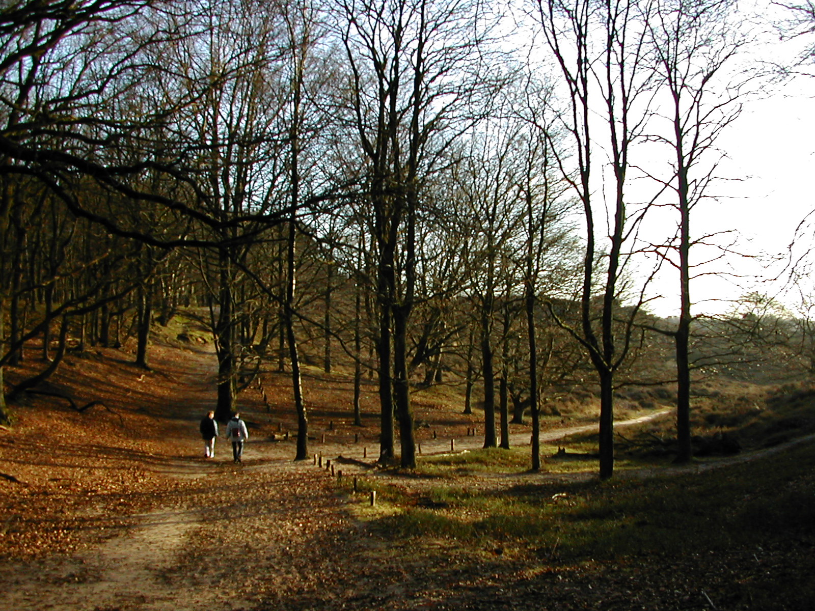
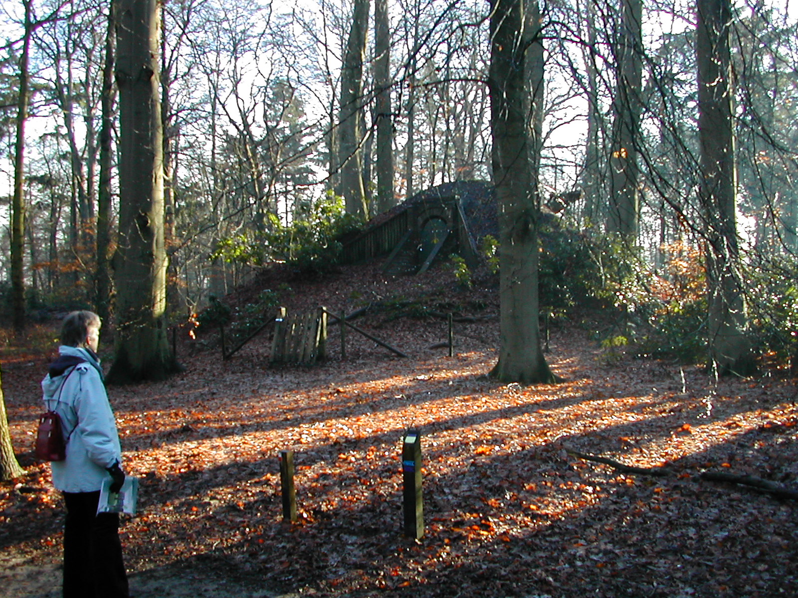

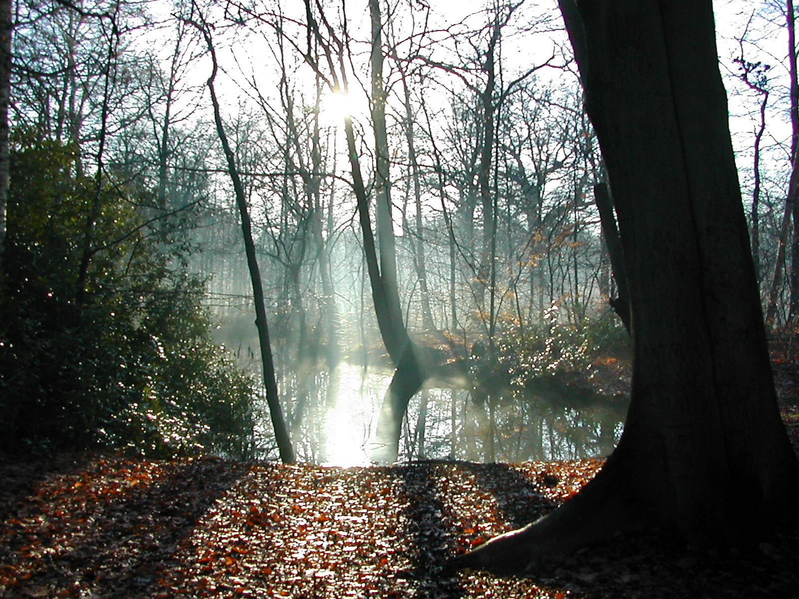
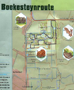


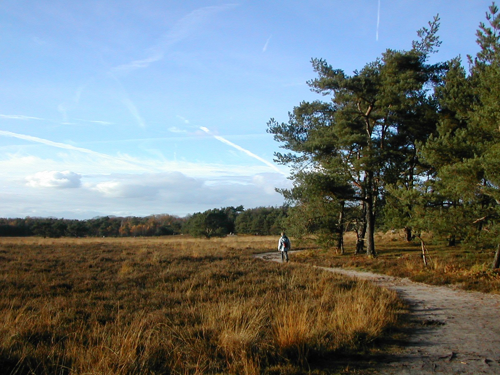
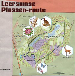
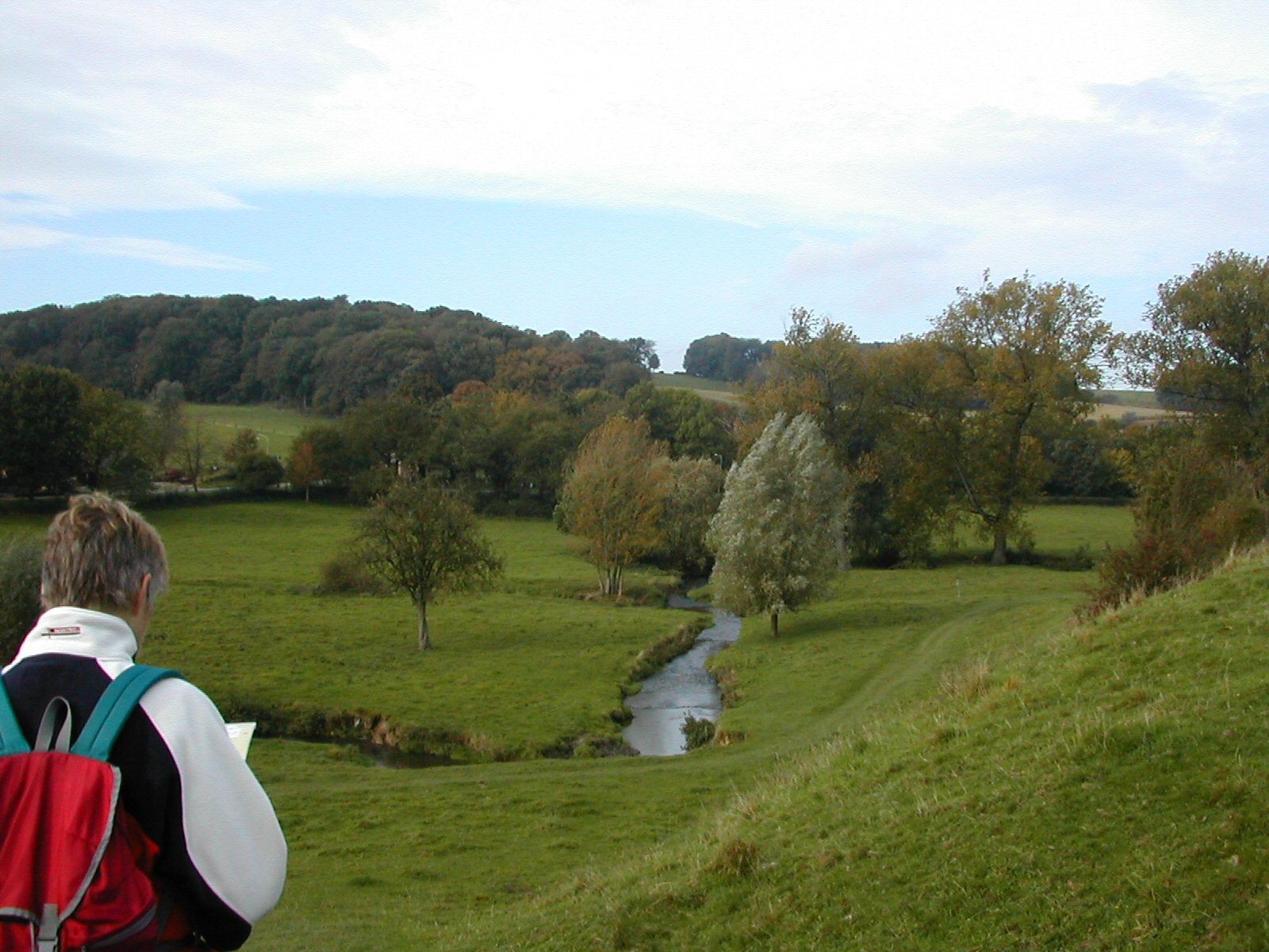
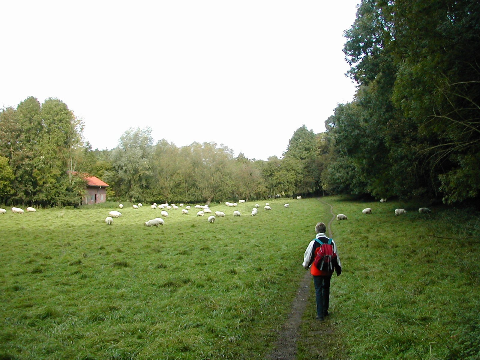
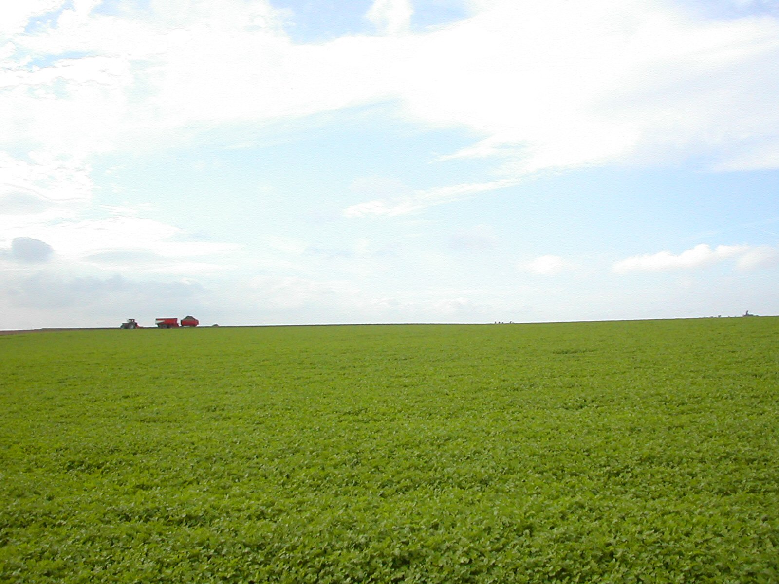
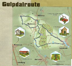

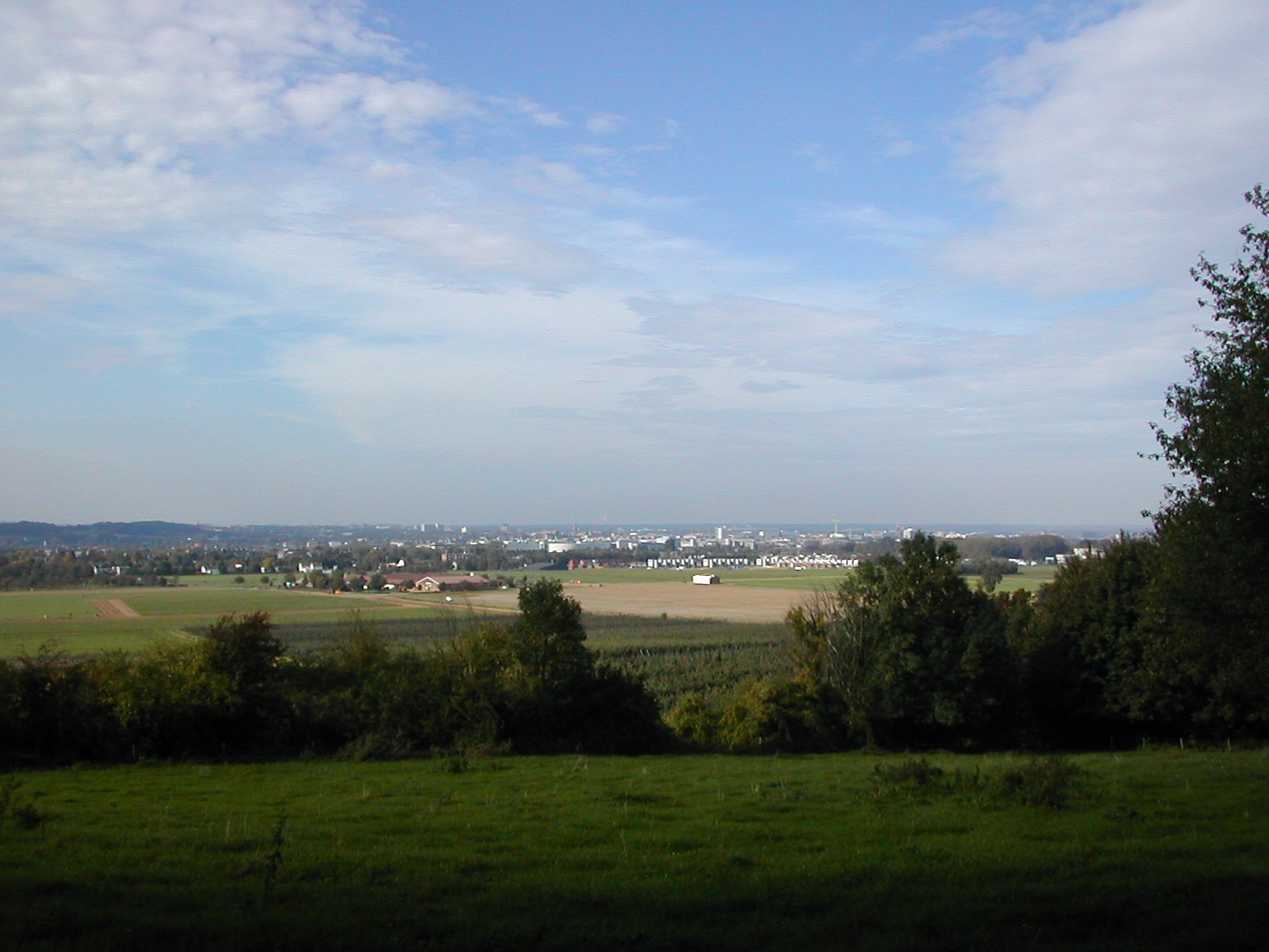

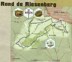


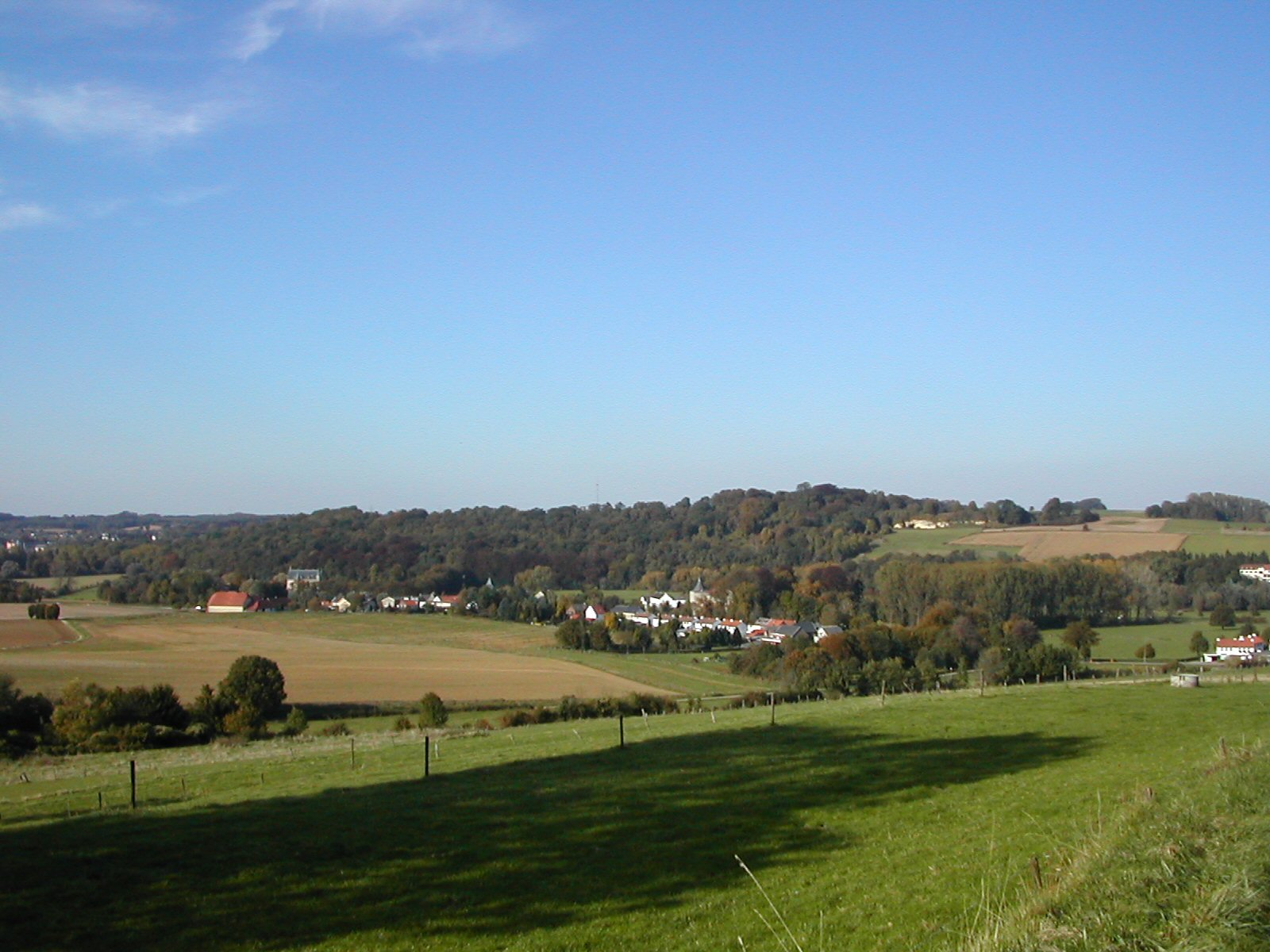
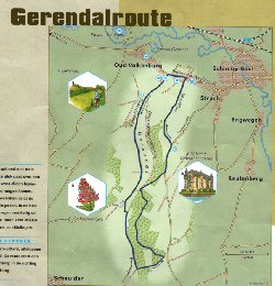
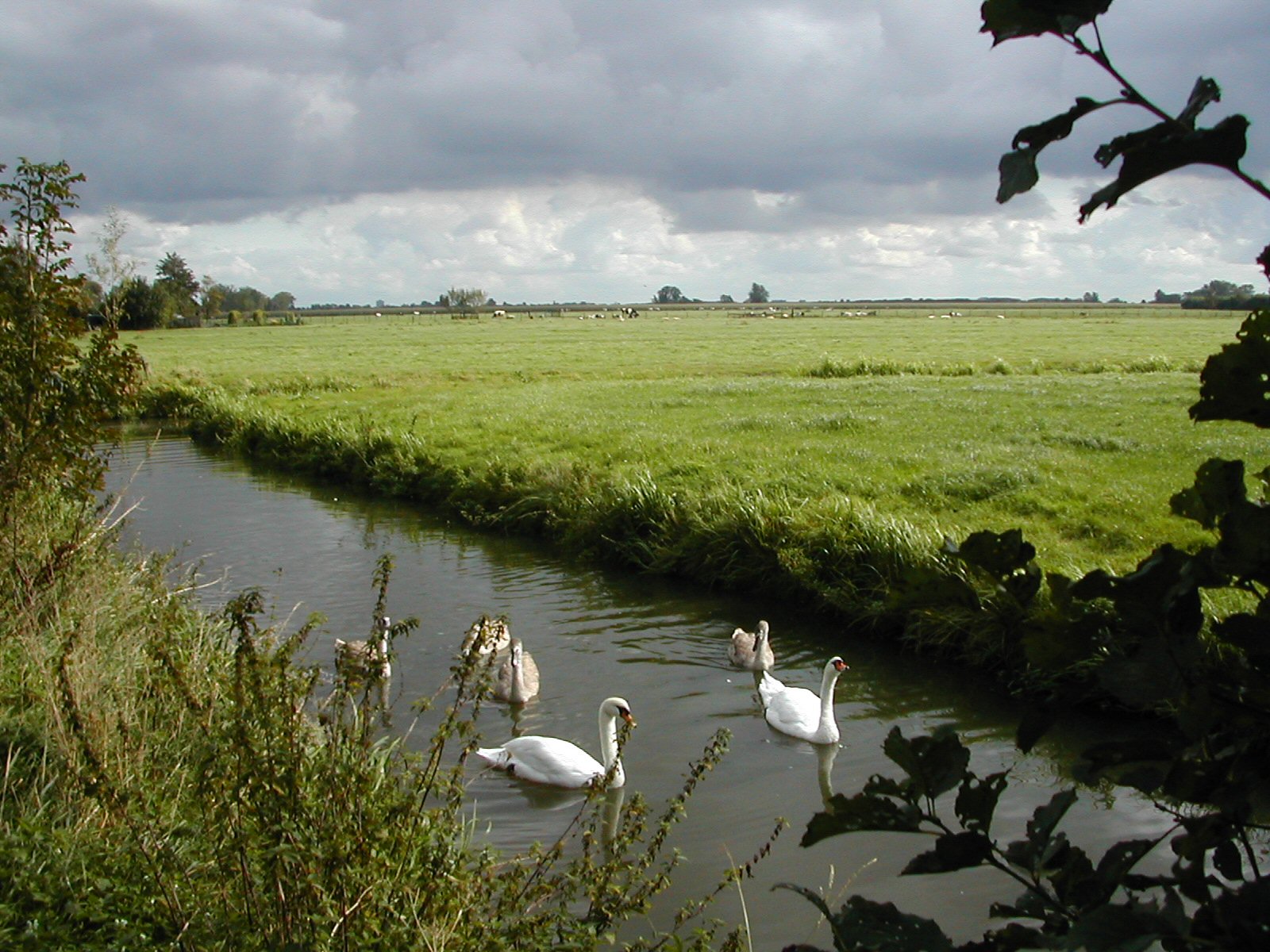
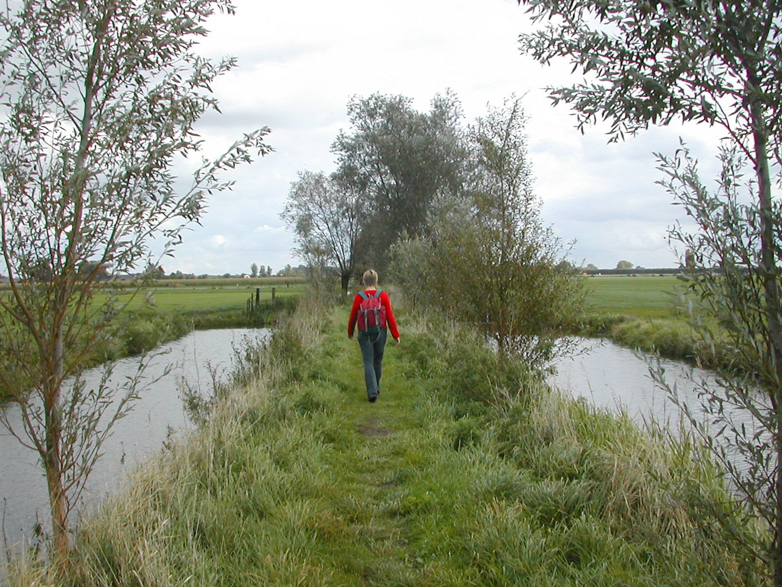
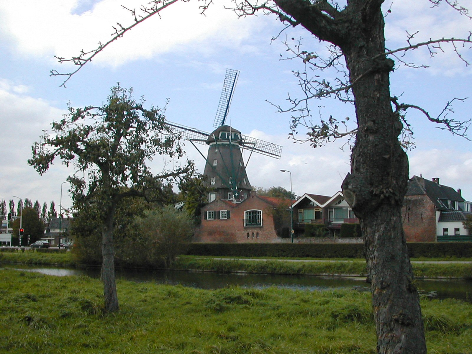
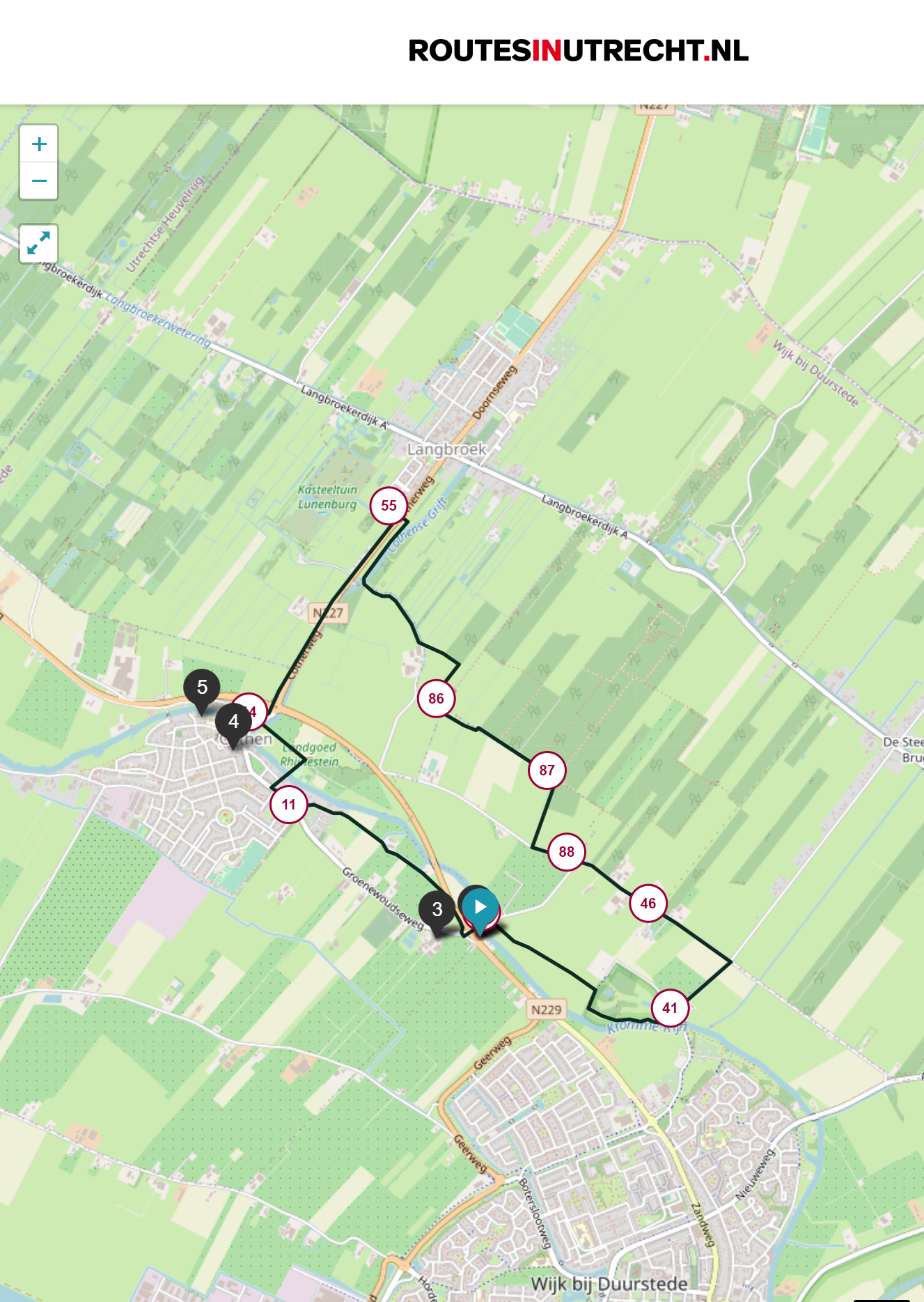
Thanks for your interest in this page. Back to our home page!
This page was updated 21 November 2023