|
|
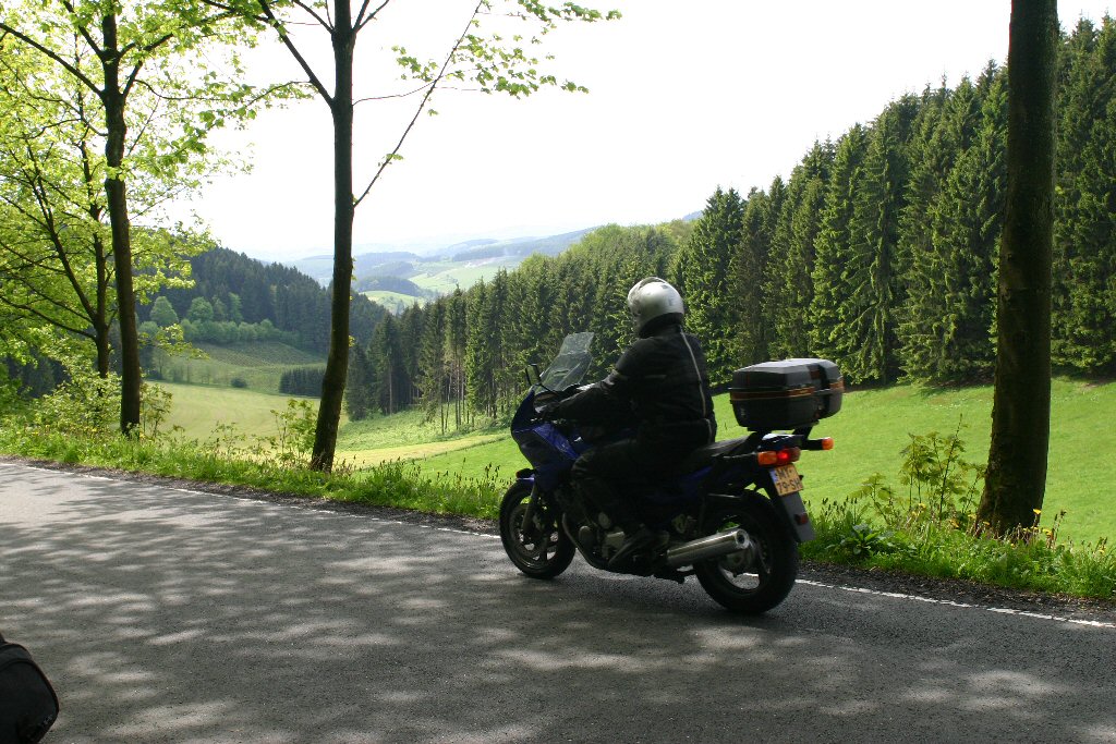
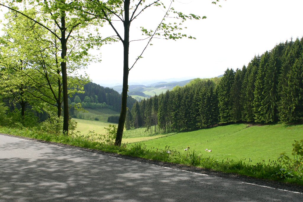
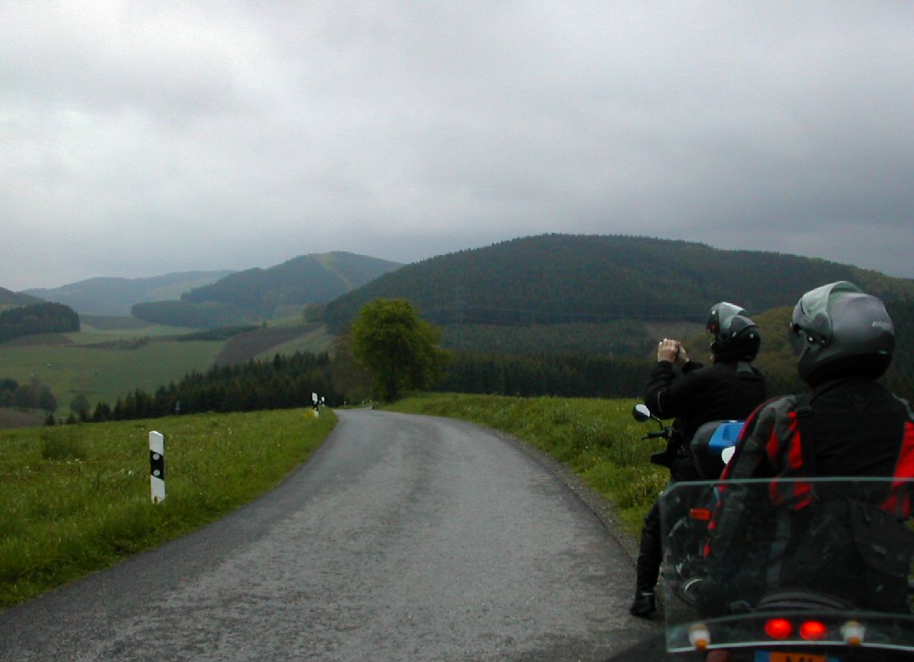
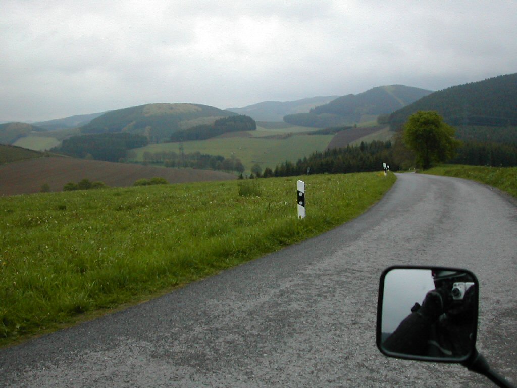
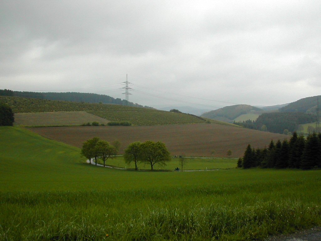
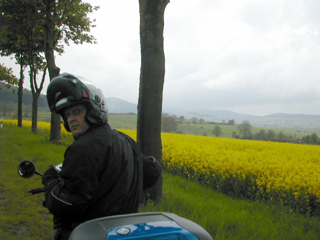
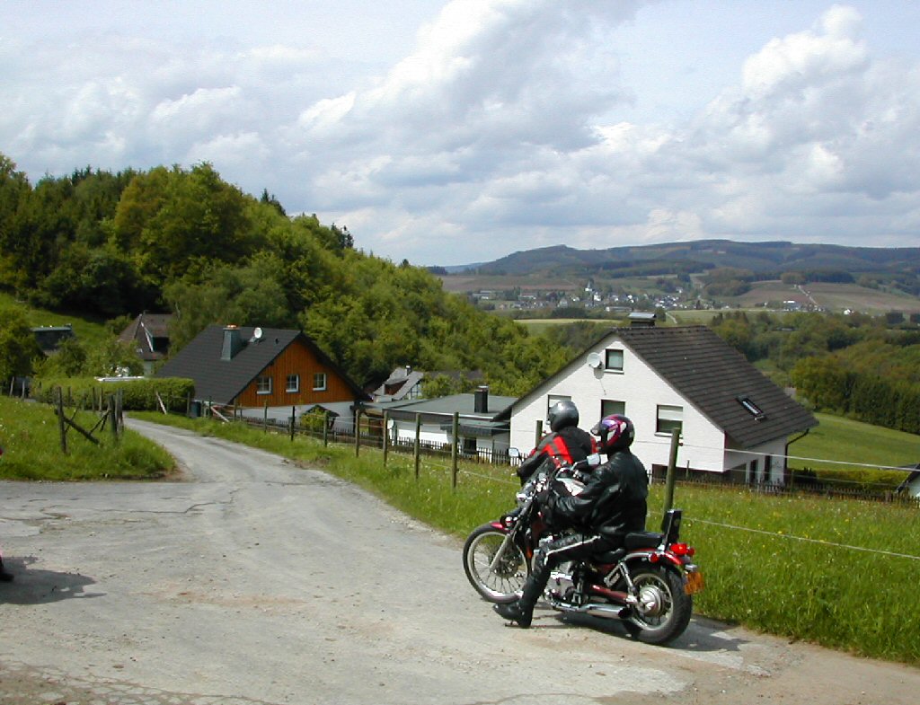
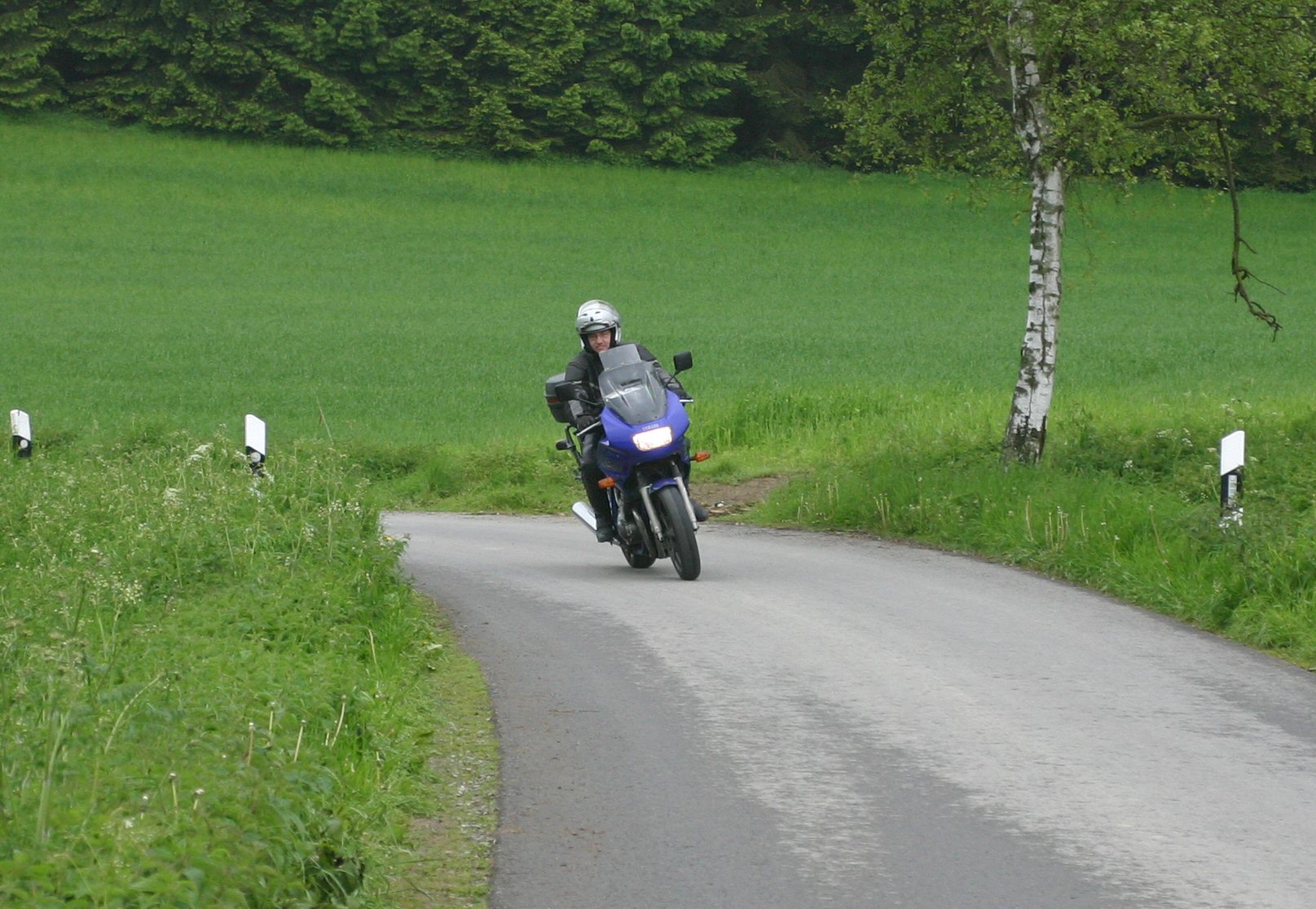
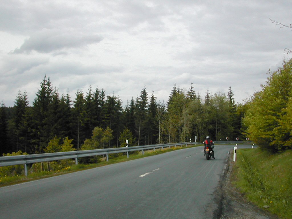
A brief impression of our annual 'long biking weekend'...Again in the beautiful and biker - friendly surroundings of the Sauerland, Germany
|
Click on (most of) the photographs for a high - resolution view !Re-use for non-commercial purposes is permitted but...Please let me know if you do! (pwm.o@hccnet.nl) |
|||||
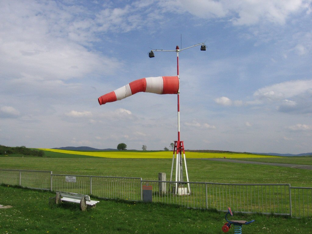 |
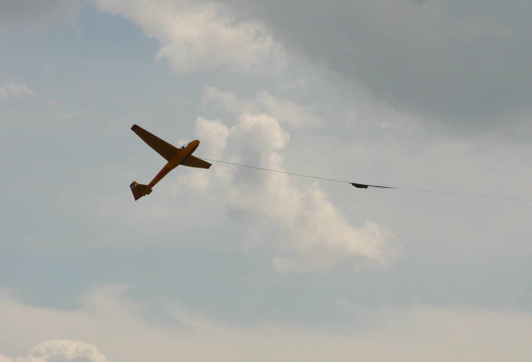
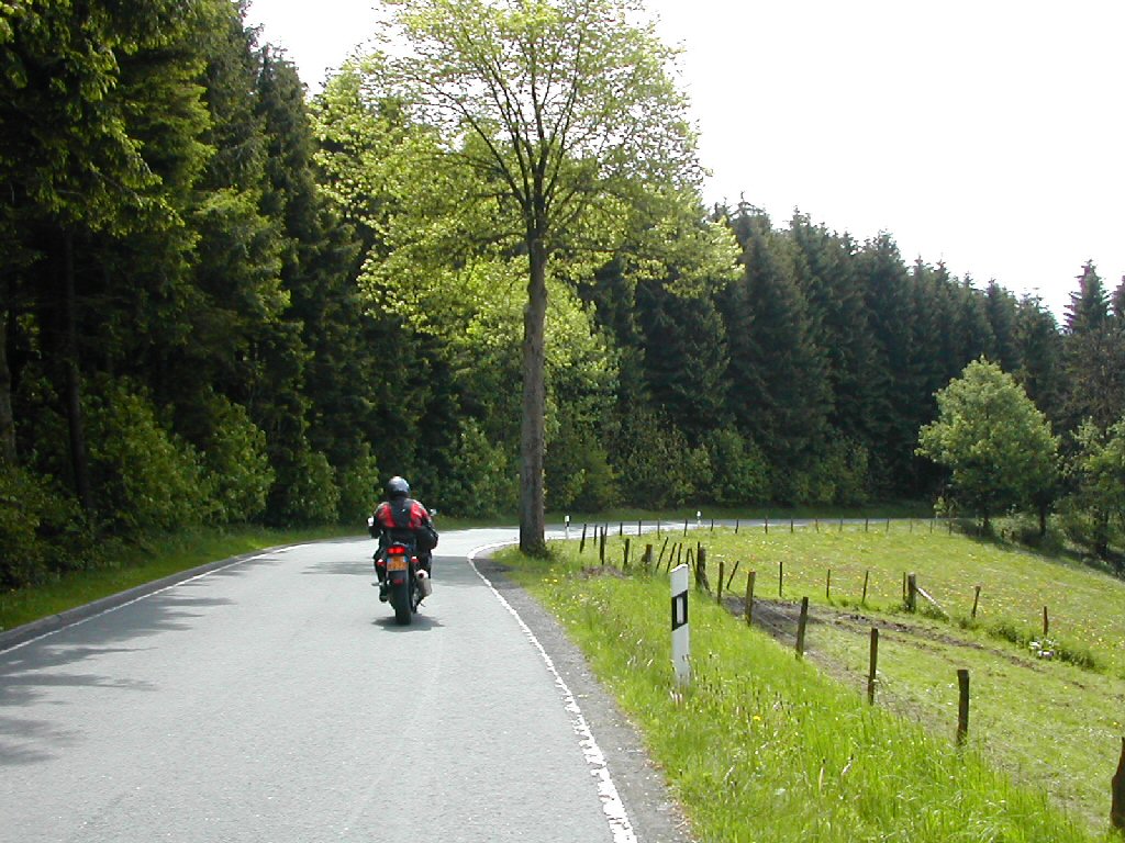
Why all the planes on this page? Well, 'in the old days' we used to set our trip target by determining in what direction our destinations would be and navigate in that direction, using the sun, not a roadmap... It takes a lot of time (luckily) and sometimes you end up at a 'dead-end'. But more often you will find the nicest roads and people this way. |
||||||
  |
Nowadays, we use a GPS (without a map in it) and basically do the same. We enter the locators of an airfield and follow the arrow on the screen! Why airfields; well GPS coordinates are easily available, it's usually an exiting environment and... the people and restaurants on the airfields are very hospitable! Oh, by the way... the fact that I'm a private pilot has nothing to do with it... and the fact that you see a lot of eating and drinking is absolutely representative for our goals and experiences... |
||||||
|
|
|
|
|||||
|
|
|||||||
|
|
|
||||||
|
|
|||||||
|
|
|
|
|||||
|
Watch our sponsor! |
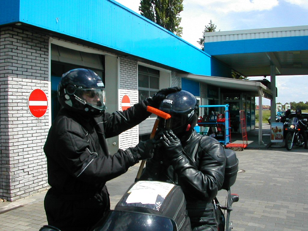
The things you have to do to earn some money... |
||||||
|
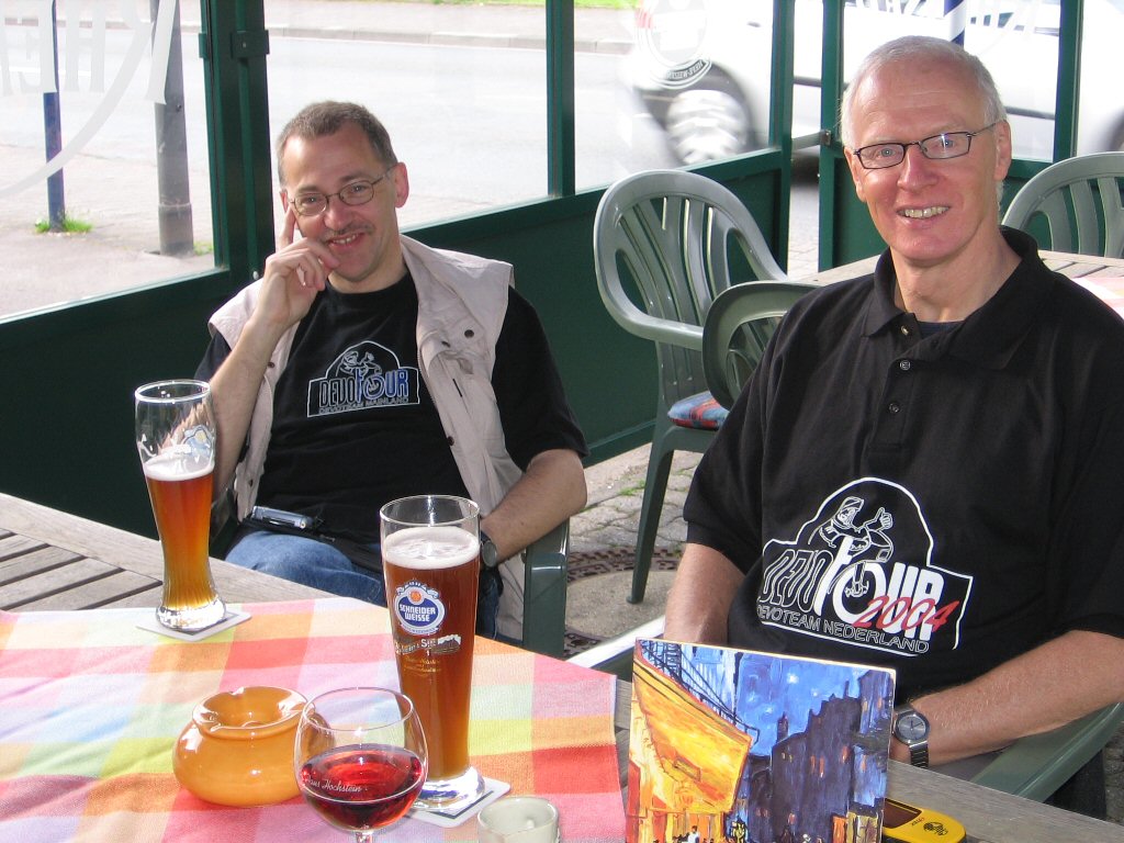
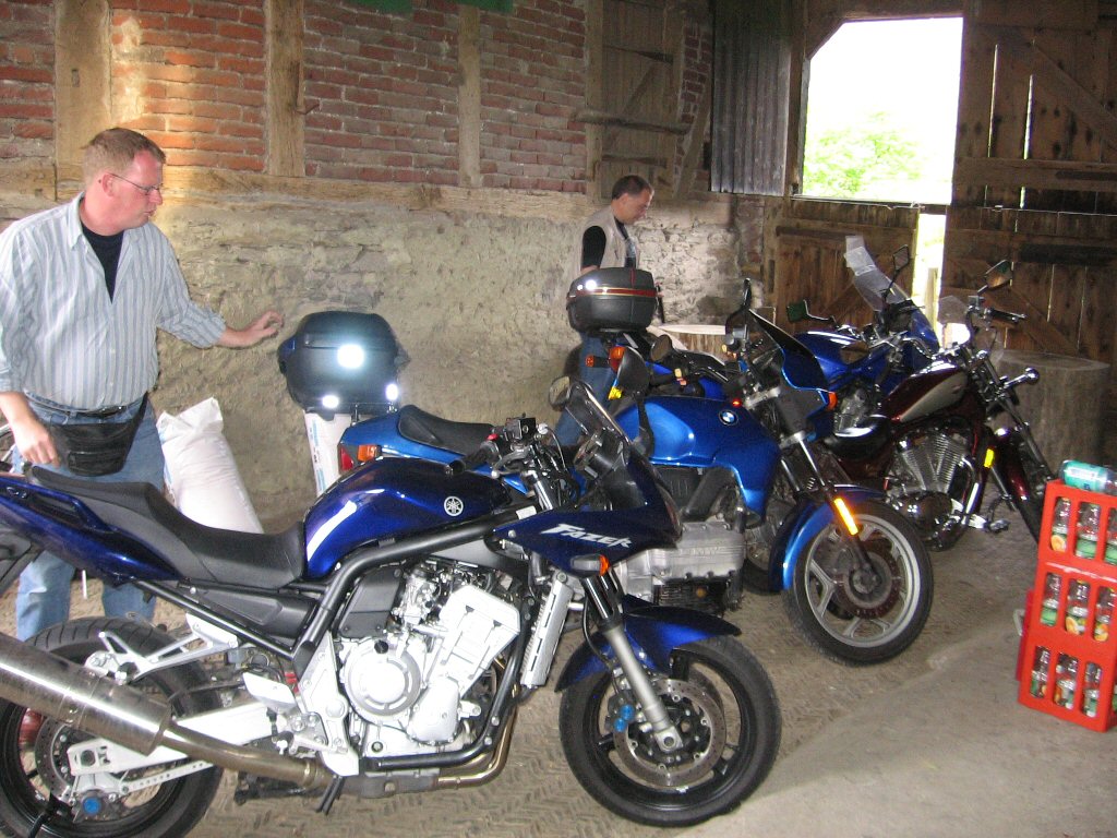
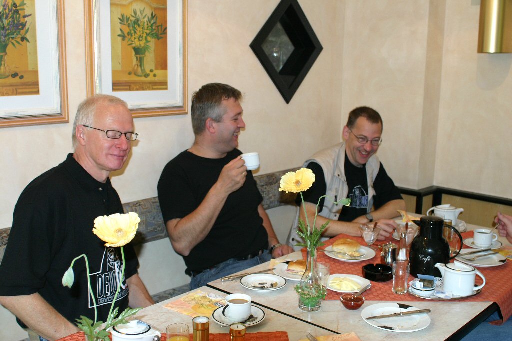
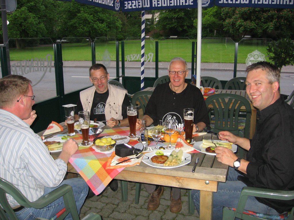
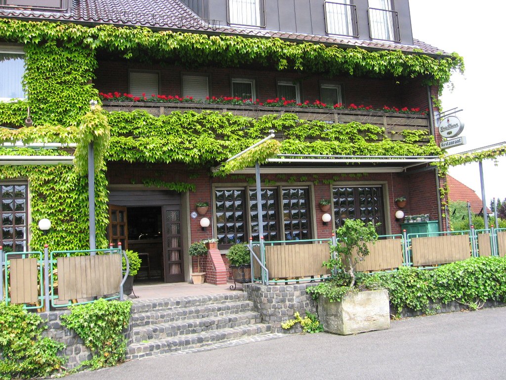
A place to sleep... |
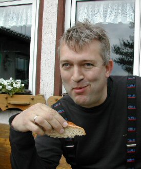
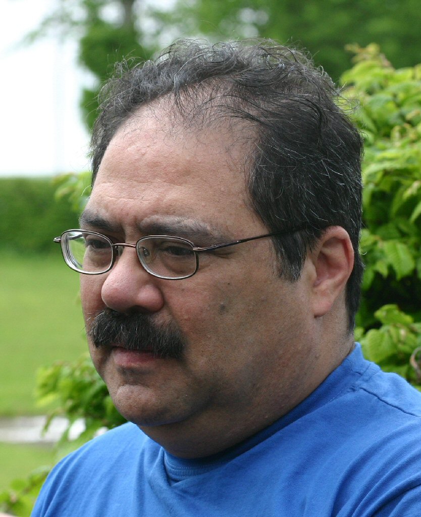
Jan |
Paul |
|||||
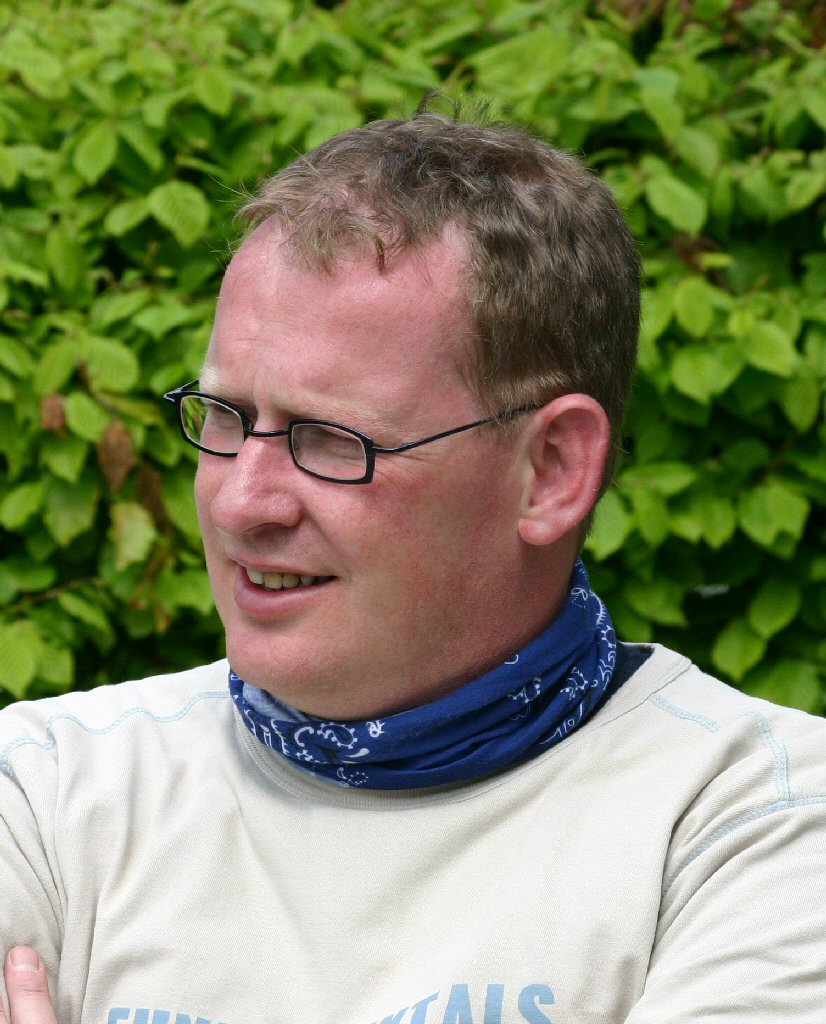
 Raymond |
 Rien |
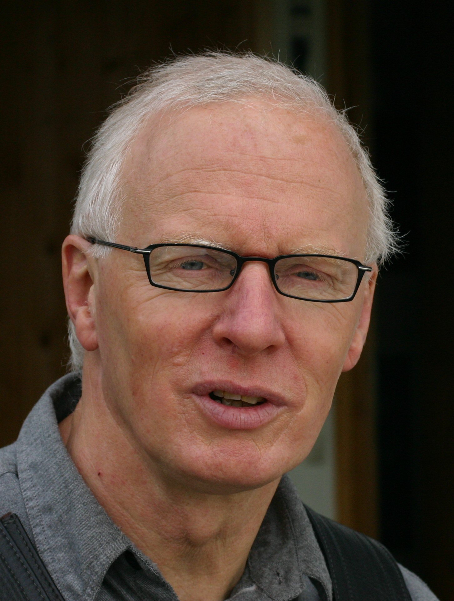
Gerard? |
|||||
|
|
|||||||
|
A dead-end, no problem, we needed a break |
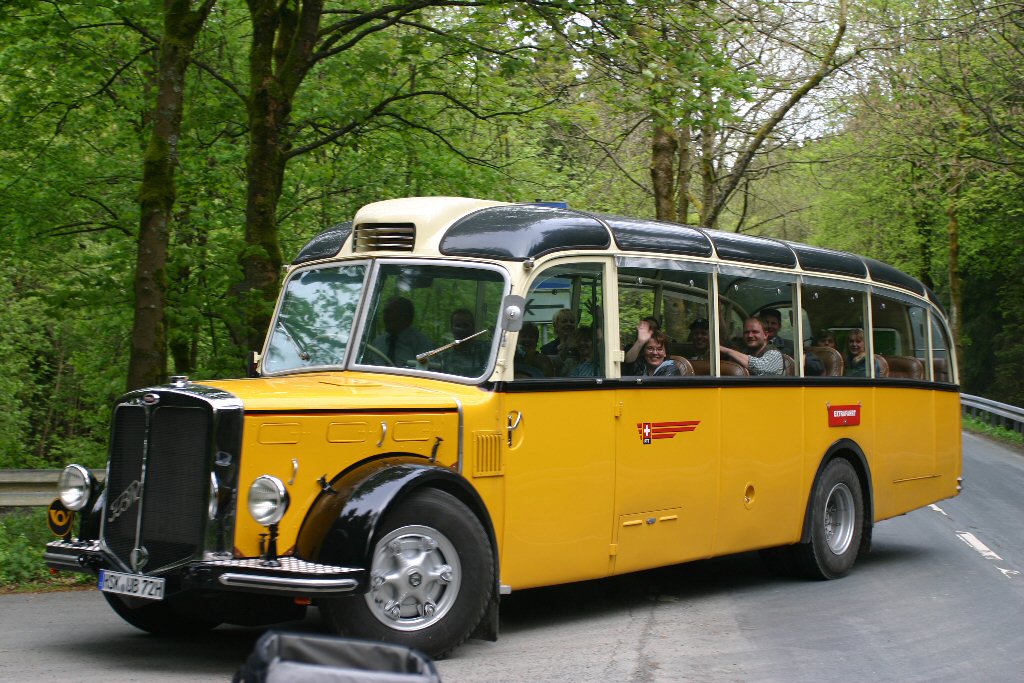
Ohne worte... |
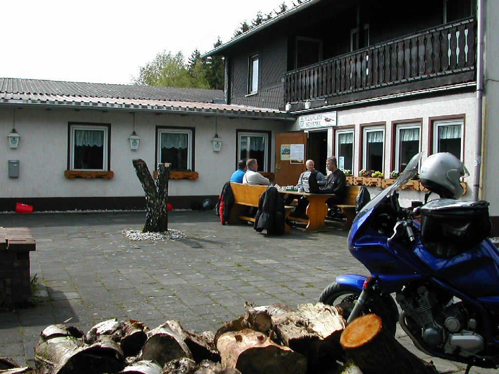
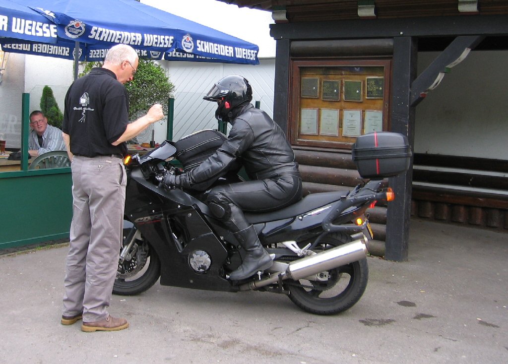
Flugplatz Schaenke opening up for us! |
|||||
|
Raymond |
 Rien |
 Paul |
 Gerard |
 Jan |
|||
|
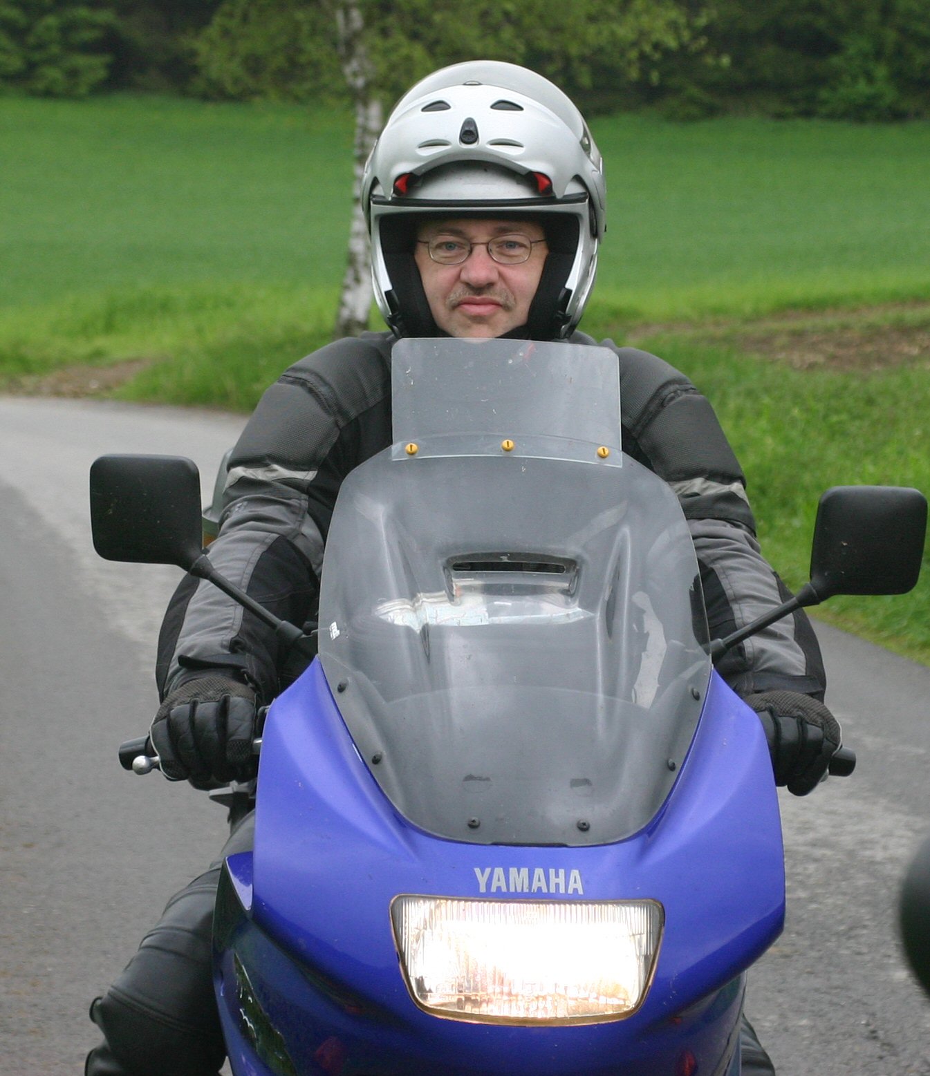
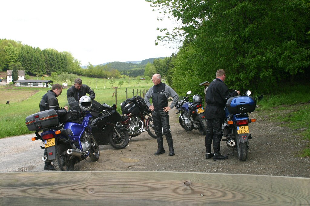
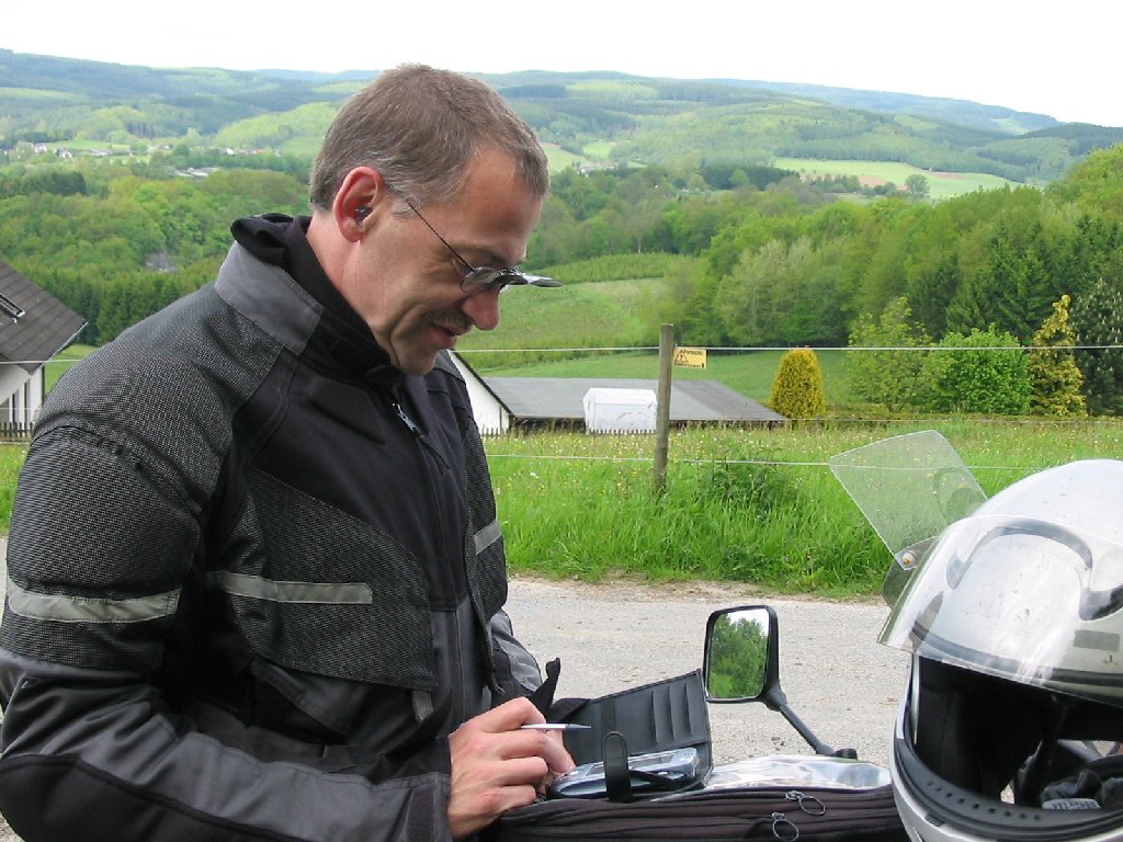
Who needs a GPS? |
|
 |
|||||
|
|
|||||||
|
|
|
|
|||||
|
|
|
||||||
|
|
|
||||||
|
|
|
||||||
|
|
|
||||||
|
"Remember, next time don't drive so fast..." |
Workaholic... |
||||||


 Thanks for your interest in this page.